Wildfire Alert Report
| Date: | 2025-09-18 |
|---|---|
| Time: | 19:16:17 |
| Production Date and Time: | 2025-09-18 19:21:33 UTC |
| Primary Instrument: | GOES-19 ABI |
| Wmo Spacecraft Id: | 666 |
| Location/orbit: | GEO |
| L1 File: | OR_ABI-L1b-RadC-M6C14_G19_s20252611916171_e20252611918544_c20252611919008.nc |
| L1 File(s) - Temporal | OR_ABI-L1b-RadC-M6C14_G19_s20252611911171_e20252611913544_c20252611914025.nc |
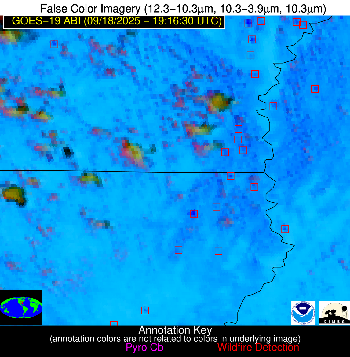
| Number Of Thermal Anomaly Alerts: | 6 |
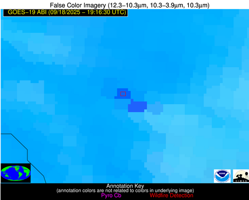
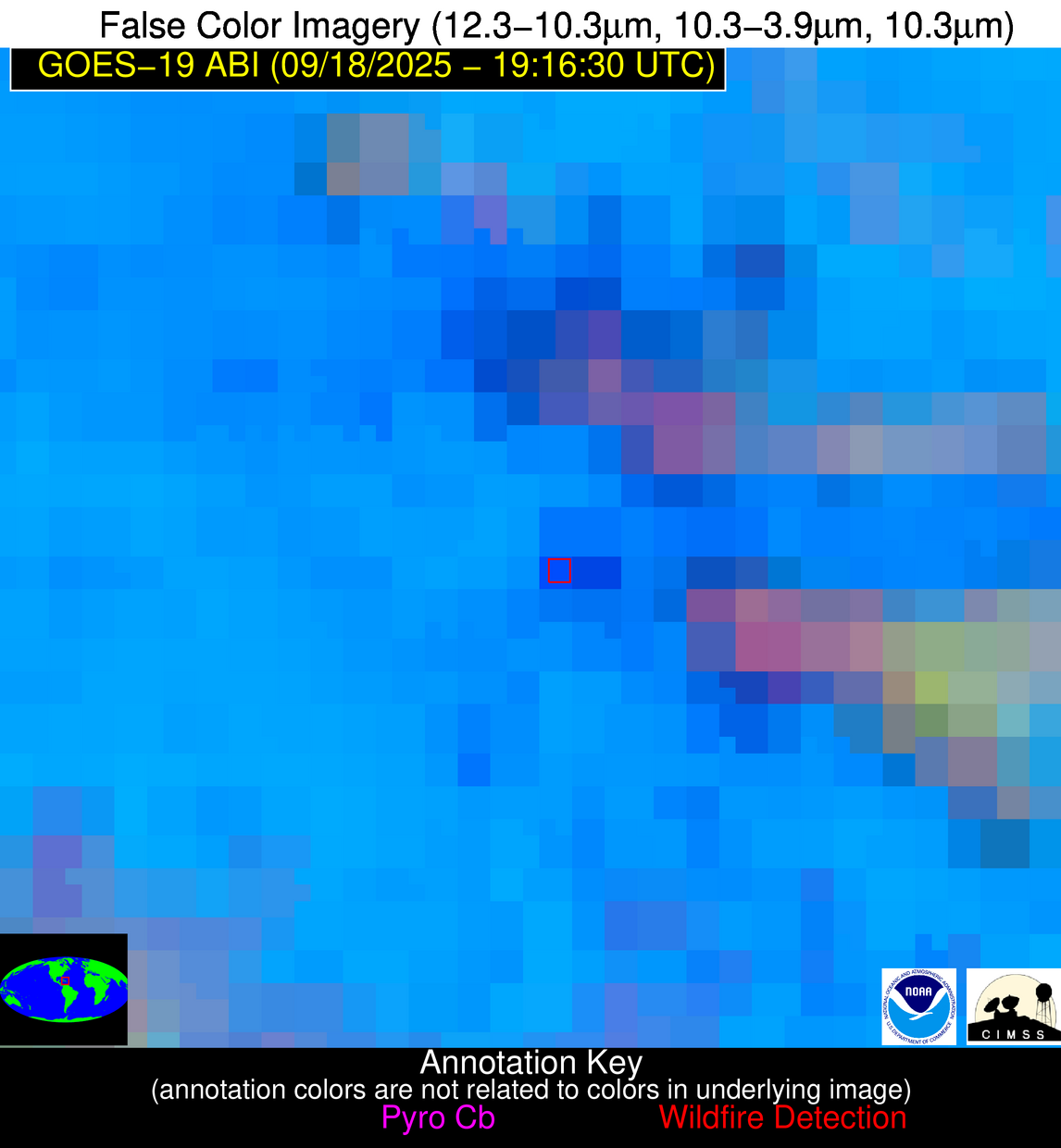
Possible Wildfire
| Basic Information | |
|---|---|
| State/Province(s) | ID |
| Country/Countries | United States |
| County/Locality(s) | Idaho County, ID |
| NWS WFO | Missoula MT |
| Identification Method | Enhanced Contextual (Clear) |
| Mean Object Date/Time | 2025-09-18 19:16:19UTC |
| Radiative Center (Lat, Lon): | 45.909168°, -116.238335° |
| Nearby Counties (meeting alert criteria): |
|
| Total Radiative Power Anomaly | n/a |
| Total Radiative Power | 188.03 MW |
| Map: | |
| Additional Information | |
| Alert Status | New Feature |
| Type of Event | Nominal Risk |
| Event Priority Ranking | 4 |
| Maximum Observed BT (3.9 um) | 318.75 K |
| Observed - Background BT (3.9 um) | 10.64 K |
| BT Anomaly (3.9 um) | 6.77 K |
| Maximum Observed - Clear RTM BT (3.9 um) | 22.19 K |
| Maximum Observed BTD (3.9-10/11/12 um) | 21.41 K |
| Observed - Background BTD (3.9-10/11/12 um) | 9.97 K |
| BTD Anomaly (3.9-10/11/12 um) | 13.15 K |
| Similar Pixel Count | 2 |
| BT Time Tendency (3.9 um) | 7.80 K |
| Image Interval | 5.00 minutes |
| Fraction of Surrounding LWIR Pixels that are Colder | 0.88 |
| Fraction of Surrounding Red Channel Pixels that are Brighter | 0.72 |
| Maximum Radiative Power | 96.91 MW |
| Maximum Radiative Power Uncertainty | 0.00 MW |
| Total Radiative Power Uncertainty | 0.00 MW |
| Mean Viewing Angle | 66.70° |
| Mean Solar Zenith Angle | 44.00° |
| Mean Glint Angle | 100.90° |
| Water Fraction | 0.00 |
| Total Pixel Area | 20.30 km2 |
| Latest Satellite Imagery: | |
| View all event imagery » | |
Possible Wildfire
| Basic Information | |
|---|---|
| State/Province(s) | AR |
| Country/Countries | United States |
| County/Locality(s) | Hot Spring County, AR |
| NWS WFO | Little Rock AR |
| Identification Method | Enhanced Contextual (Cloud) |
| Mean Object Date/Time | 2025-09-18 19:17:20UTC |
| Radiative Center (Lat, Lon): | 34.171944°, -93.017220° |
| Nearby Counties (meeting alert criteria): |
|
| Total Radiative Power Anomaly | n/a |
| Total Radiative Power | 66.62 MW |
| Map: | |
| Additional Information | |
| Alert Status | New Feature |
| Type of Event | Nominal Risk |
| Event Priority Ranking | 4 |
| Maximum Observed BT (3.9 um) | 320.37 K |
| Observed - Background BT (3.9 um) | 14.36 K |
| BT Anomaly (3.9 um) | 9.36 K |
| Maximum Observed - Clear RTM BT (3.9 um) | 15.34 K |
| Maximum Observed BTD (3.9-10/11/12 um) | 26.82 K |
| Observed - Background BTD (3.9-10/11/12 um) | 14.30 K |
| BTD Anomaly (3.9-10/11/12 um) | 9.87 K |
| Similar Pixel Count | 0 |
| BT Time Tendency (3.9 um) | 13.00 K |
| Image Interval | 5.00 minutes |
| Fraction of Surrounding LWIR Pixels that are Colder | 0.73 |
| Fraction of Surrounding Red Channel Pixels that are Brighter | 0.36 |
| Maximum Radiative Power | 66.62 MW |
| Maximum Radiative Power Uncertainty | 0.00 MW |
| Total Radiative Power Uncertainty | 0.00 MW |
| Mean Viewing Angle | 44.30° |
| Mean Solar Zenith Angle | 35.90° |
| Mean Glint Angle | 67.80° |
| Water Fraction | 0.00 |
| Total Pixel Area | 5.60 km2 |
| Latest Satellite Imagery: | |
| View all event imagery » | |
Possible Wildfire
| Basic Information | |
|---|---|
| State/Province(s) | MS |
| Country/Countries | United States |
| County/Locality(s) | Bolivar County, MS |
| NWS WFO | Jackson MS |
| Identification Method | Enhanced Contextual (Cloud) |
| Mean Object Date/Time | 2025-09-18 19:17:21UTC |
| Radiative Center (Lat, Lon): | 33.763611°, -90.718056° |
| Nearby Counties (meeting alert criteria): |
|
| Total Radiative Power Anomaly | n/a |
| Total Radiative Power | 115.47 MW |
| Map: | |
| Additional Information | |
| Alert Status | New Feature |
| Type of Event | Nominal Risk |
| Event Priority Ranking | 4 |
| Maximum Observed BT (3.9 um) | 327.34 K |
| Observed - Background BT (3.9 um) | 10.78 K |
| BT Anomaly (3.9 um) | 6.55 K |
| Maximum Observed - Clear RTM BT (3.9 um) | 19.15 K |
| Maximum Observed BTD (3.9-10/11/12 um) | 26.46 K |
| Observed - Background BTD (3.9-10/11/12 um) | 9.32 K |
| BTD Anomaly (3.9-10/11/12 um) | 8.40 K |
| Similar Pixel Count | 0 |
| BT Time Tendency (3.9 um) | 6.90 K |
| Image Interval | 5.00 minutes |
| Fraction of Surrounding LWIR Pixels that are Colder | 0.99 |
| Fraction of Surrounding Red Channel Pixels that are Brighter | 1.00 |
| Maximum Radiative Power | 61.15 MW |
| Maximum Radiative Power Uncertainty | 0.00 MW |
| Total Radiative Power Uncertainty | 0.00 MW |
| Mean Viewing Angle | 42.80° |
| Mean Solar Zenith Angle | 36.60° |
| Mean Glint Angle | 66.90° |
| Water Fraction | 0.00 |
| Total Pixel Area | 10.90 km2 |
| Latest Satellite Imagery: | |
| View all event imagery » | |
Possible Wildfire
| Basic Information | |
|---|---|
| State/Province(s) | LA |
| Country/Countries | United States |
| County/Locality(s) | West Carroll Parish, LA |
| NWS WFO | Jackson MS |
| Identification Method | Enhanced Contextual (Clear) |
| Mean Object Date/Time | 2025-09-18 19:17:20UTC |
| Radiative Center (Lat, Lon): | 32.685555°, -91.587776° |
| Nearby Counties (meeting alert criteria): |
|
| Total Radiative Power Anomaly | n/a |
| Total Radiative Power | 17.14 MW |
| Map: | |
| Additional Information | |
| Alert Status | New Feature |
| Type of Event | Nominal Risk |
| Event Priority Ranking | 4 |
| Maximum Observed BT (3.9 um) | 314.71 K |
| Observed - Background BT (3.9 um) | 4.16 K |
| BT Anomaly (3.9 um) | 2.44 K |
| Maximum Observed - Clear RTM BT (3.9 um) | 8.08 K |
| Maximum Observed BTD (3.9-10/11/12 um) | 20.03 K |
| Observed - Background BTD (3.9-10/11/12 um) | 4.07 K |
| BTD Anomaly (3.9-10/11/12 um) | 2.74 K |
| Similar Pixel Count | 25 |
| BT Time Tendency (3.9 um) | 0.90 K |
| Image Interval | 5.00 minutes |
| Fraction of Surrounding LWIR Pixels that are Colder | 0.79 |
| Fraction of Surrounding Red Channel Pixels that are Brighter | 0.70 |
| Maximum Radiative Power | 17.14 MW |
| Maximum Radiative Power Uncertainty | 0.00 MW |
| Total Radiative Power Uncertainty | 0.00 MW |
| Mean Viewing Angle | 42.10° |
| Mean Solar Zenith Angle | 35.30° |
| Mean Glint Angle | 64.70° |
| Water Fraction | 0.00 |
| Total Pixel Area | 5.40 km2 |
| Latest Satellite Imagery: | |
| View all event imagery » | |
Possible Wildfire
| Basic Information | |
|---|---|
| State/Province(s) | LA |
| Country/Countries | United States |
| County/Locality(s) | Natchitoches Parish, LA |
| NWS WFO | Shreveport LA |
| Identification Method | Enhanced Contextual (Clear) |
| Mean Object Date/Time | 2025-09-18 19:17:20UTC |
| Radiative Center (Lat, Lon): | 31.835556°, -93.178055° |
| Nearby Counties (meeting alert criteria): |
|
| Total Radiative Power Anomaly | n/a |
| Total Radiative Power | 191.53 MW |
| Map: | |
| Additional Information | |
| Alert Status | New Feature |
| Type of Event | Nominal Risk |
| Event Priority Ranking | 4 |
| Maximum Observed BT (3.9 um) | 323.38 K |
| Observed - Background BT (3.9 um) | 11.77 K |
| BT Anomaly (3.9 um) | 7.69 K |
| Maximum Observed - Clear RTM BT (3.9 um) | 16.60 K |
| Maximum Observed BTD (3.9-10/11/12 um) | 23.76 K |
| Observed - Background BTD (3.9-10/11/12 um) | 9.90 K |
| BTD Anomaly (3.9-10/11/12 um) | 6.77 K |
| Similar Pixel Count | 4 |
| BT Time Tendency (3.9 um) | 7.20 K |
| Image Interval | 5.00 minutes |
| Fraction of Surrounding LWIR Pixels that are Colder | 1.00 |
| Fraction of Surrounding Red Channel Pixels that are Brighter | 0.85 |
| Maximum Radiative Power | 60.06 MW |
| Maximum Radiative Power Uncertainty | 0.00 MW |
| Total Radiative Power Uncertainty | 0.00 MW |
| Mean Viewing Angle | 42.10° |
| Mean Solar Zenith Angle | 33.90° |
| Mean Glint Angle | 63.10° |
| Water Fraction | 0.00 |
| Total Pixel Area | 21.60 km2 |
| Latest Satellite Imagery: | |
| View all event imagery » | |
Possible Wildfire
| Basic Information | |
|---|---|
| State/Province(s) | Unknown |
| Country/Countries | Dominican Republic |
| County/Locality(s) | Unknown, Unknown |
| NWS WFO | N/A |
| Identification Method | Enhanced Contextual (Clear) |
| Mean Object Date/Time | 2025-09-18 19:18:53UTC |
| Radiative Center (Lat, Lon): | 19.401112°, -70.834724° |
| Nearby Counties (meeting alert criteria): |
|
| Total Radiative Power Anomaly | n/a |
| Total Radiative Power | 27.15 MW |
| Map: | |
| Additional Information | |
| Alert Status | New Feature |
| Type of Event | Nominal Risk |
| Event Priority Ranking | 4 |
| Maximum Observed BT (3.9 um) | 314.33 K |
| Observed - Background BT (3.9 um) | 8.63 K |
| BT Anomaly (3.9 um) | 4.99 K |
| Maximum Observed - Clear RTM BT (3.9 um) | 12.23 K |
| Maximum Observed BTD (3.9-10/11/12 um) | 25.95 K |
| Observed - Background BTD (3.9-10/11/12 um) | 9.33 K |
| BTD Anomaly (3.9-10/11/12 um) | 4.99 K |
| Similar Pixel Count | 13 |
| BT Time Tendency (3.9 um) | 4.30 K |
| Image Interval | 5.00 minutes |
| Fraction of Surrounding LWIR Pixels that are Colder | 0.47 |
| Fraction of Surrounding Red Channel Pixels that are Brighter | 0.51 |
| Maximum Radiative Power | 27.15 MW |
| Maximum Radiative Power Uncertainty | 0.00 MW |
| Total Radiative Power Uncertainty | 0.00 MW |
| Mean Viewing Angle | 23.40° |
| Mean Solar Zenith Angle | 42.50° |
| Mean Glint Angle | 57.60° |
| Water Fraction | 0.00 |
| Total Pixel Area | 4.40 km2 |
| Latest Satellite Imagery: | |
| View all event imagery » | |


