Jan 2026: Due to an ongoing data center cooling system construction project, NGFS data outages may occur with little or no notice.
Wildfire Alert Report
| Date: | 2025-09-18 |
|---|---|
| Time: | 09:01:17 |
| Production Date and Time: | 2025-09-18 09:06:13 UTC |
| Primary Instrument: | GOES-19 ABI |
| Wmo Spacecraft Id: | 666 |
| Location/orbit: | GEO |
| L1 File: | OR_ABI-L1b-RadC-M6C14_G19_s20252610901171_e20252610903544_c20252610904037.nc |
| L1 File(s) - Temporal | OR_ABI-L1b-RadC-M6C14_G19_s20252610856171_e20252610858544_c20252610859002.nc |
| Number Of Thermal Anomaly Alerts: | 3 |
Possible Wildfire
| Basic Information | |
|---|---|
| State/Province(s) | IL |
| Country/Countries | United States |
| County/Locality(s) | Will County, IL |
| NWS WFO | Chicago IL |
| Identification Method | Enhanced Contextual (Clear) |
| Mean Object Date/Time | 2025-09-18 09:01:51UTC |
| Radiative Center (Lat, Lon): | 41.222500°, -88.232498° |
| Nearby Counties (meeting alert criteria): |
|
| Total Radiative Power Anomaly | n/a |
| Total Radiative Power | 26.65 MW |
| Map: | |
| Additional Information | |
| Alert Status | New Feature |
| Type of Event | Nonmetal-mineral |
| Event Priority Ranking | 5 |
| Maximum Observed BT (3.9 um) | 294.26 K |
| Observed - Background BT (3.9 um) | 7.67 K |
| BT Anomaly (3.9 um) | 7.99 K |
| Maximum Observed - Clear RTM BT (3.9 um) | 8.77 K |
| Maximum Observed BTD (3.9-10/11/12 um) | 4.57 K |
| Observed - Background BTD (3.9-10/11/12 um) | 3.43 K |
| BTD Anomaly (3.9-10/11/12 um) | 6.13 K |
| Similar Pixel Count | 1 |
| BT Time Tendency (3.9 um) | 0.40 K |
| Image Interval | 5.00 minutes |
| Fraction of Surrounding LWIR Pixels that are Colder | 1.00 |
| Fraction of Surrounding Red Channel Pixels that are Brighter | 1.00 |
| Maximum Radiative Power | 26.65 MW |
| Maximum Radiative Power Uncertainty | 0.00 MW |
| Total Radiative Power Uncertainty | 0.00 MW |
| Mean Viewing Angle | 49.70° |
| Mean Solar Zenith Angle | 118.20° |
| Mean Glint Angle | 99.20° |
| Water Fraction | 0.00 |
| Total Pixel Area | 12.40 km2 |
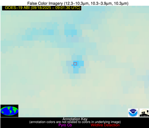
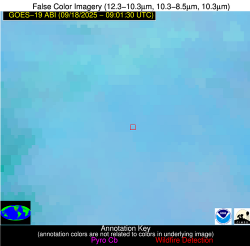
| Latest Satellite Imagery: | |
| View all event imagery » | |
Possible Wildfire
| Basic Information | |
|---|---|
| State/Province(s) | KY |
| Country/Countries | United States |
| County/Locality(s) | Pendleton County, KY |
| NWS WFO | Wilmington OH |
| Identification Method | Enhanced Contextual (Clear) |
| Mean Object Date/Time | 2025-09-18 09:01:51UTC |
| Radiative Center (Lat, Lon): | 38.830276°, -84.234726° |
| Nearby Counties (meeting alert criteria): |
|
| Total Radiative Power Anomaly | n/a |
| Total Radiative Power | 3.33 MW |
| Map: | |
| Additional Information | |
| Alert Status | New Feature |
| Type of Event | Nonmetal-mineral |
| Event Priority Ranking | 5 |
| Maximum Observed BT (3.9 um) | 288.06 K |
| Observed - Background BT (3.9 um) | 2.95 K |
| BT Anomaly (3.9 um) | 3.97 K |
| Maximum Observed - Clear RTM BT (3.9 um) | 1.82 K |
| Maximum Observed BTD (3.9-10/11/12 um) | 2.02 K |
| Observed - Background BTD (3.9-10/11/12 um) | 2.11 K |
| BTD Anomaly (3.9-10/11/12 um) | 5.92 K |
| Similar Pixel Count | 1 |
| BT Time Tendency (3.9 um) | 0.40 K |
| Image Interval | 5.00 minutes |
| Fraction of Surrounding LWIR Pixels that are Colder | 0.93 |
| Fraction of Surrounding Red Channel Pixels that are Brighter | 1.00 |
| Maximum Radiative Power | 3.33 MW |
| Maximum Radiative Power Uncertainty | 0.00 MW |
| Total Radiative Power Uncertainty | 0.00 MW |
| Mean Viewing Angle | 46.20° |
| Mean Solar Zenith Angle | 116.70° |
| Mean Glint Angle | 99.50° |
| Water Fraction | 0.00 |
| Total Pixel Area | 5.80 km2 |
| Latest Satellite Imagery: | |
| View all event imagery » | |
Possible Wildfire
| Basic Information | |
|---|---|
| State/Province(s) | TX |
| Country/Countries | United States |
| County/Locality(s) | Glasscock County, TX |
| NWS WFO | Midland/Odessa TX |
| Identification Method | Enhanced Contextual (Clear) |
| Mean Object Date/Time | 2025-09-18 09:02:19UTC |
| Radiative Center (Lat, Lon): | 31.837778°, -101.766113° |
| Nearby Counties (meeting alert criteria): |
|
| Total Radiative Power Anomaly | n/a |
| Total Radiative Power | 16.15 MW |
| Map: | |
| Additional Information | |
| Alert Status | New Feature |
| Type of Event | Oil/gas |
| Event Priority Ranking | 5 |
| Maximum Observed BT (3.9 um) | 292.29 K |
| Observed - Background BT (3.9 um) | 4.84 K |
| BT Anomaly (3.9 um) | 6.87 K |
| Maximum Observed - Clear RTM BT (3.9 um) | 4.04 K |
| Maximum Observed BTD (3.9-10/11/12 um) | 5.72 K |
| Observed - Background BTD (3.9-10/11/12 um) | 4.06 K |
| BTD Anomaly (3.9-10/11/12 um) | 7.97 K |
| Similar Pixel Count | 2 |
| BT Time Tendency (3.9 um) | 3.20 K |
| Image Interval | 5.00 minutes |
| Fraction of Surrounding LWIR Pixels that are Colder | 0.97 |
| Fraction of Surrounding Red Channel Pixels that are Brighter | 1.00 |
| Maximum Radiative Power | 8.58 MW |
| Maximum Radiative Power Uncertainty | 0.00 MW |
| Total Radiative Power Uncertainty | 0.00 MW |
| Mean Viewing Angle | 47.10° |
| Mean Solar Zenith Angle | 132.50° |
| Mean Glint Angle | 120.10° |
| Water Fraction | 0.00 |
| Total Pixel Area | 11.80 km2 |
| Latest Satellite Imagery: | |
| View all event imagery » | |


