Jan 2026: Due to an ongoing data center cooling system construction project, NGFS data outages may occur with little or no notice.
Wildfire Alert Report
| Date: | 2025-09-09 |
|---|---|
| Time: | 16:26:17 |
| Production Date and Time: | 2025-09-09 16:31:27 UTC |
| Primary Instrument: | GOES-19 ABI |
| Wmo Spacecraft Id: | 666 |
| Location/orbit: | GEO |
| L1 File: | OR_ABI-L1b-RadC-M6C14_G19_s20252521626177_e20252521628550_c20252521629048.nc |
| L1 File(s) - Temporal | OR_ABI-L1b-RadC-M6C14_G19_s20252521621177_e20252521623550_c20252521624057.nc |
| Number Of Thermal Anomaly Alerts: | 4 |
Possible Wildfire
| Basic Information | |
|---|---|
| State/Province(s) | AR |
| Country/Countries | United States |
| County/Locality(s) | Woodruff County, AR |
| NWS WFO | Little Rock AR |
| Identification Method | Enhanced Contextual (Clear) |
| Mean Object Date/Time | 2025-09-09 16:27:21UTC |
| Radiative Center (Lat, Lon): | 35.027779°, -91.293892° |
| Nearby Counties (meeting alert criteria): |
|
| Total Radiative Power Anomaly | n/a |
| Total Radiative Power | 11.93 MW |
| Map: | |
| Additional Information | |
| Alert Status | New Feature |
| Type of Event | Nominal Risk |
| Event Priority Ranking | 4 |
| Maximum Observed BT (3.9 um) | 307.16 K |
| Observed - Background BT (3.9 um) | 3.42 K |
| BT Anomaly (3.9 um) | 1.63 K |
| Maximum Observed - Clear RTM BT (3.9 um) | 7.61 K |
| Maximum Observed BTD (3.9-10/11/12 um) | 14.02 K |
| Observed - Background BTD (3.9-10/11/12 um) | 3.29 K |
| BTD Anomaly (3.9-10/11/12 um) | 2.56 K |
| Similar Pixel Count | 25 |
| BT Time Tendency (3.9 um) | 1.50 K |
| Image Interval | 5.00 minutes |
| Fraction of Surrounding LWIR Pixels that are Colder | 0.55 |
| Fraction of Surrounding Red Channel Pixels that are Brighter | 0.87 |
| Maximum Radiative Power | 11.93 MW |
| Maximum Radiative Power Uncertainty | 0.00 MW |
| Total Radiative Power Uncertainty | 0.00 MW |
| Mean Viewing Angle | 44.40° |
| Mean Solar Zenith Angle | 36.80° |
| Mean Glint Angle | 80.20° |
| Water Fraction | 0.00 |
| Total Pixel Area | 5.60 km2 |
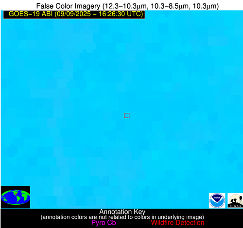
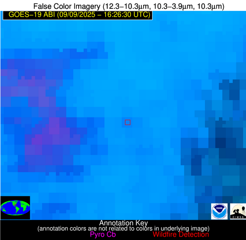
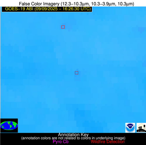
| Latest Satellite Imagery: | |
| View all event imagery » | |
Possible Wildfire
| Basic Information | |
|---|---|
| State/Province(s) | GA |
| Country/Countries | United States |
| County/Locality(s) | Colquitt County, GA |
| NWS WFO | Tallahassee FL |
| Identification Method | Enhanced Contextual (Clear) |
| Mean Object Date/Time | 2025-09-09 16:27:21UTC |
| Radiative Center (Lat, Lon): | 31.254168°, -83.815834° |
| Nearby Counties (meeting alert criteria): |
|
| Total Radiative Power Anomaly | n/a |
| Total Radiative Power | 9.89 MW |
| Map: | |
| Additional Information | |
| Alert Status | New Feature |
| Type of Event | Nominal Risk |
| Event Priority Ranking | 4 |
| Maximum Observed BT (3.9 um) | 307.00 K |
| Observed - Background BT (3.9 um) | 3.01 K |
| BT Anomaly (3.9 um) | 2.26 K |
| Maximum Observed - Clear RTM BT (3.9 um) | 8.11 K |
| Maximum Observed BTD (3.9-10/11/12 um) | 18.03 K |
| Observed - Background BTD (3.9-10/11/12 um) | 3.24 K |
| BTD Anomaly (3.9-10/11/12 um) | 1.86 K |
| Similar Pixel Count | 25 |
| BT Time Tendency (3.9 um) | 1.00 K |
| Image Interval | 5.00 minutes |
| Fraction of Surrounding LWIR Pixels that are Colder | 0.47 |
| Fraction of Surrounding Red Channel Pixels that are Brighter | 0.81 |
| Maximum Radiative Power | 9.89 MW |
| Maximum Radiative Power Uncertainty | 0.00 MW |
| Total Radiative Power Uncertainty | 0.00 MW |
| Mean Viewing Angle | 37.80° |
| Mean Solar Zenith Angle | 29.90° |
| Mean Glint Angle | 66.70° |
| Water Fraction | 0.00 |
| Total Pixel Area | 5.10 km2 |
| Latest Satellite Imagery: | |
| View all event imagery » | |
Possible Wildfire
| Basic Information | |
|---|---|
| State/Province(s) | TX |
| Country/Countries | United States |
| County/Locality(s) | Kendall County, TX |
| NWS WFO | Austin/San Antonio TX |
| Identification Method | Enhanced Contextual (Clear) |
| Mean Object Date/Time | 2025-09-09 16:27:50UTC |
| Radiative Center (Lat, Lon): | 29.960556°, -98.739166° |
| Nearby Counties (meeting alert criteria): |
|
| Total Radiative Power Anomaly | n/a |
| Total Radiative Power | 5.92 MW |
| Map: | |
| Additional Information | |
| Alert Status | New Feature |
| Type of Event | Nominal Risk |
| Event Priority Ranking | 4 |
| Maximum Observed BT (3.9 um) | 305.57 K |
| Observed - Background BT (3.9 um) | 1.85 K |
| BT Anomaly (3.9 um) | 2.03 K |
| Maximum Observed - Clear RTM BT (3.9 um) | 3.72 K |
| Maximum Observed BTD (3.9-10/11/12 um) | 10.80 K |
| Observed - Background BTD (3.9-10/11/12 um) | 1.93 K |
| BTD Anomaly (3.9-10/11/12 um) | 3.19 K |
| Similar Pixel Count | 25 |
| BT Time Tendency (3.9 um) | 0.80 K |
| Image Interval | 5.00 minutes |
| Fraction of Surrounding LWIR Pixels that are Colder | 0.49 |
| Fraction of Surrounding Red Channel Pixels that are Brighter | 1.00 |
| Maximum Radiative Power | 5.92 MW |
| Maximum Radiative Power Uncertainty | 0.00 MW |
| Total Radiative Power Uncertainty | 0.00 MW |
| Mean Viewing Angle | 43.60° |
| Mean Solar Zenith Angle | 38.30° |
| Mean Glint Angle | 81.00° |
| Water Fraction | 0.00 |
| Total Pixel Area | 5.50 km2 |
| Latest Satellite Imagery: | |
| View all event imagery » | |
Possible Wildfire
| Basic Information | |
|---|---|
| State/Province(s) | Sonora |
| Country/Countries | Mexico |
| County/Locality(s) | Hermosillo, Sonora |
| NWS WFO | N/A |
| Identification Method | Enhanced Contextual (Clear) |
| Mean Object Date/Time | 2025-09-09 16:27:48UTC |
| Radiative Center (Lat, Lon): | 29.189444°, -112.176109° |
| Nearby Counties (meeting alert criteria): |
|
| Total Radiative Power Anomaly | n/a |
| Total Radiative Power | 4.63 MW |
| Map: | |
| Additional Information | |
| Alert Status | New Feature |
| Type of Event | Nominal Risk |
| Event Priority Ranking | 4 |
| Maximum Observed BT (3.9 um) | 316.16 K |
| Observed - Background BT (3.9 um) | 1.50 K |
| BT Anomaly (3.9 um) | 0.73 K |
| Maximum Observed - Clear RTM BT (3.9 um) | 6.60 K |
| Maximum Observed BTD (3.9-10/11/12 um) | 17.20 K |
| Observed - Background BTD (3.9-10/11/12 um) | 1.67 K |
| BTD Anomaly (3.9-10/11/12 um) | 1.27 K |
| Similar Pixel Count | 19 |
| BT Time Tendency (3.9 um) | 0.60 K |
| Image Interval | 5.00 minutes |
| Fraction of Surrounding LWIR Pixels that are Colder | 0.54 |
| Fraction of Surrounding Red Channel Pixels that are Brighter | 0.76 |
| Maximum Radiative Power | 4.63 MW |
| Maximum Radiative Power Uncertainty | 0.00 MW |
| Total Radiative Power Uncertainty | 0.00 MW |
| Mean Viewing Angle | 53.00° |
| Mean Solar Zenith Angle | 48.50° |
| Mean Glint Angle | 100.60° |
| Water Fraction | 0.00 |
| Total Pixel Area | 6.60 km2 |
| Latest Satellite Imagery: | |
| View all event imagery » | |


