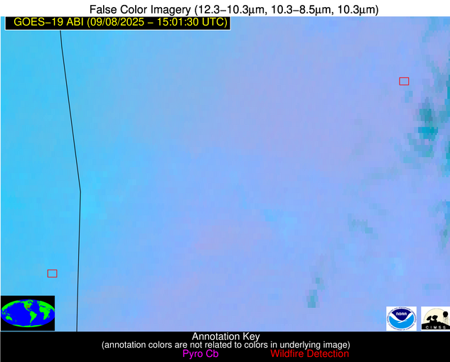
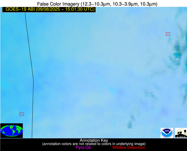
Wildfire Alert Report
| Date: | 2025-09-08 |
|---|---|
| Time: | 15:01:17 |
| Production Date and Time: | 2025-09-08 15:06:20 UTC |
| Primary Instrument: | GOES-19 ABI |
| Wmo Spacecraft Id: | 666 |
| Location/orbit: | GEO |
| L1 File: | OR_ABI-L1b-RadC-M6C14_G19_s20252511501176_e20252511503549_c20252511504037.nc |
| L1 File(s) - Temporal | OR_ABI-L1b-RadC-M6C14_G19_s20252511456176_e20252511458549_c20252511459025.nc |
| Number Of Thermal Anomaly Alerts: | 3 |
Possible Wildfire
| Basic Information | |
|---|---|
| State/Province(s) | ND |
| Country/Countries | United States |
| County/Locality(s) | Cass County, ND |
| NWS WFO | Grand Forks ND |
| Identification Method | Enhanced Contextual (Clear) |
| Mean Object Date/Time | 2025-09-08 15:01:20UTC |
| Radiative Center (Lat, Lon): | 46.908611°, -97.200836° |
| Nearby Counties (meeting alert criteria): |
|
| Total Radiative Power Anomaly | n/a |
| Total Radiative Power | 19.73 MW |
| Map: | |
| Additional Information | |
| Alert Status | New Feature |
| Type of Event | Nominal Risk |
| Event Priority Ranking | 4 |
| Maximum Observed BT (3.9 um) | 294.70 K |
| Observed - Background BT (3.9 um) | 5.54 K |
| BT Anomaly (3.9 um) | 7.06 K |
| Maximum Observed - Clear RTM BT (3.9 um) | 7.93 K |
| Maximum Observed BTD (3.9-10/11/12 um) | 10.41 K |
| Observed - Background BTD (3.9-10/11/12 um) | 5.42 K |
| BTD Anomaly (3.9-10/11/12 um) | 7.28 K |
| Similar Pixel Count | 2 |
| BT Time Tendency (3.9 um) | 4.20 K |
| Image Interval | 5.00 minutes |
| Fraction of Surrounding LWIR Pixels that are Colder | 0.50 |
| Fraction of Surrounding Red Channel Pixels that are Brighter | 1.00 |
| Maximum Radiative Power | 19.73 MW |
| Maximum Radiative Power Uncertainty | 0.00 MW |
| Total Radiative Power Uncertainty | 0.00 MW |
| Mean Viewing Angle | 58.40° |
| Mean Solar Zenith Angle | 59.90° |
| Mean Glint Angle | 110.00° |
| Water Fraction | 0.00 |
| Total Pixel Area | 7.60 km2 |
| Latest Satellite Imagery: | |
| View all event imagery » | |
Possible Wildfire
| Basic Information | |
|---|---|
| State/Province(s) | AR |
| Country/Countries | United States |
| County/Locality(s) | Stone County, AR |
| NWS WFO | Little Rock AR |
| Identification Method | Enhanced Contextual (Clear) |
| Mean Object Date/Time | 2025-09-08 15:02:20UTC |
| Radiative Center (Lat, Lon): | 35.857777°, -92.403893° |
| Nearby Counties (meeting alert criteria): |
|
| Total Radiative Power Anomaly | n/a |
| Total Radiative Power | 3.97 MW |
| Map: | |
| Additional Information | |
| Alert Status | New Feature |
| Type of Event | Nominal Risk |
| Event Priority Ranking | 4 |
| Maximum Observed BT (3.9 um) | 293.80 K |
| Observed - Background BT (3.9 um) | 1.53 K |
| BT Anomaly (3.9 um) | 1.65 K |
| Maximum Observed - Clear RTM BT (3.9 um) | 7.06 K |
| Maximum Observed BTD (3.9-10/11/12 um) | 5.32 K |
| Observed - Background BTD (3.9-10/11/12 um) | 1.98 K |
| BTD Anomaly (3.9-10/11/12 um) | 3.66 K |
| Similar Pixel Count | 13 |
| BT Time Tendency (3.9 um) | 0.60 K |
| Image Interval | 5.00 minutes |
| Fraction of Surrounding LWIR Pixels that are Colder | 0.34 |
| Fraction of Surrounding Red Channel Pixels that are Brighter | 1.00 |
| Maximum Radiative Power | 3.97 MW |
| Maximum Radiative Power Uncertainty | 0.00 MW |
| Total Radiative Power Uncertainty | 0.00 MW |
| Mean Viewing Angle | 45.70° |
| Mean Solar Zenith Angle | 52.00° |
| Mean Glint Angle | 90.60° |
| Water Fraction | 0.00 |
| Total Pixel Area | 5.70 km2 |
| Latest Satellite Imagery: | |
| View all event imagery » | |
Possible Wildfire
| Basic Information | |
|---|---|
| State/Province(s) | OK |
| Country/Countries | United States |
| County/Locality(s) | Le Flore County, OK |
| NWS WFO | Tulsa OK |
| Identification Method | Enhanced Contextual (Clear) |
| Mean Object Date/Time | 2025-09-08 15:02:20UTC |
| Radiative Center (Lat, Lon): | 35.060555°, -94.609726° |
| Nearby Counties (meeting alert criteria): |
|
| Total Radiative Power Anomaly | n/a |
| Total Radiative Power | 6.27 MW |
| Map: | |
| Additional Information | |
| Alert Status | New Feature |
| Type of Event | Nominal Risk |
| Event Priority Ranking | 4 |
| Maximum Observed BT (3.9 um) | 297.42 K |
| Observed - Background BT (3.9 um) | 3.16 K |
| BT Anomaly (3.9 um) | 3.04 K |
| Maximum Observed - Clear RTM BT (3.9 um) | 7.57 K |
| Maximum Observed BTD (3.9-10/11/12 um) | 7.97 K |
| Observed - Background BTD (3.9-10/11/12 um) | 2.54 K |
| BTD Anomaly (3.9-10/11/12 um) | 2.95 K |
| Similar Pixel Count | 23 |
| BT Time Tendency (3.9 um) | 0.80 K |
| Image Interval | 5.00 minutes |
| Fraction of Surrounding LWIR Pixels that are Colder | 0.83 |
| Fraction of Surrounding Red Channel Pixels that are Brighter | 1.00 |
| Maximum Radiative Power | 6.27 MW |
| Maximum Radiative Power Uncertainty | 0.00 MW |
| Total Radiative Power Uncertainty | 0.00 MW |
| Mean Viewing Angle | 45.90° |
| Mean Solar Zenith Angle | 53.30° |
| Mean Glint Angle | 92.40° |
| Water Fraction | 0.00 |
| Total Pixel Area | 5.70 km2 |
| Latest Satellite Imagery: | |
| View all event imagery » | |


