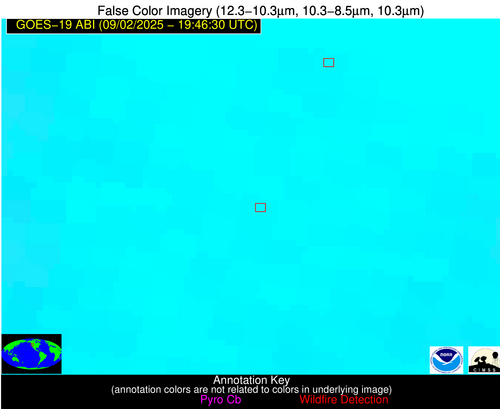
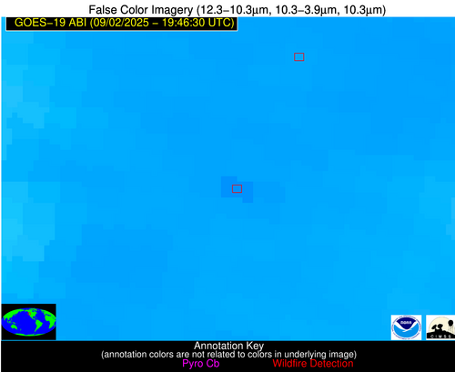
Jan 2026: Due to an ongoing data center cooling system construction project, NGFS data outages may occur with little or no notice. Bitterly cold air in Madison Jan 22-24 increases risk of outages.
Wildfire Alert Report
| Date: | 2025-09-02 |
|---|---|
| Time: | 19:46:17 |
| Production Date and Time: | 2025-09-02 19:51:31 UTC |
| Primary Instrument: | GOES-19 ABI |
| Wmo Spacecraft Id: | 666 |
| Location/orbit: | GEO |
| L1 File: | OR_ABI-L1b-RadC-M6C14_G19_s20252451946170_e20252451948544_c20252451949029.nc |
| L1 File(s) - Temporal | OR_ABI-L1b-RadC-M6C14_G19_s20252451941170_e20252451943544_c20252451944028.nc |
| Number Of Thermal Anomaly Alerts: | 2 |
Possible Wildfire
| Basic Information | |
|---|---|
| State/Province(s) | OR |
| Country/Countries | United States |
| County/Locality(s) | Jefferson County, OR |
| NWS WFO | Pendleton OR |
| Identification Method | Enhanced Contextual (Clear) |
| Mean Object Date/Time | 2025-09-02 19:46:48UTC |
| Radiative Center (Lat, Lon): | 44.557220°, -121.181664° |
| Nearby Counties (meeting alert criteria): |
|
| Total Radiative Power Anomaly | n/a |
| Total Radiative Power | 33.21 MW |
| Map: | |
| Additional Information | |
| Alert Status | New Feature |
| Type of Event | Nominal Risk |
| Event Priority Ranking | 4 |
| Maximum Observed BT (3.9 um) | 317.95 K |
| Observed - Background BT (3.9 um) | 4.16 K |
| BT Anomaly (3.9 um) | 2.20 K |
| Maximum Observed - Clear RTM BT (3.9 um) | 12.15 K |
| Maximum Observed BTD (3.9-10/11/12 um) | 15.91 K |
| Observed - Background BTD (3.9-10/11/12 um) | 3.82 K |
| BTD Anomaly (3.9-10/11/12 um) | 3.14 K |
| Similar Pixel Count | 25 |
| BT Time Tendency (3.9 um) | 2.90 K |
| Image Interval | 5.00 minutes |
| Fraction of Surrounding LWIR Pixels that are Colder | 0.73 |
| Fraction of Surrounding Red Channel Pixels that are Brighter | 0.46 |
| Maximum Radiative Power | 33.21 MW |
| Maximum Radiative Power Uncertainty | 0.00 MW |
| Total Radiative Power Uncertainty | 0.00 MW |
| Mean Viewing Angle | 68.90° |
| Mean Solar Zenith Angle | 36.50° |
| Mean Glint Angle | 94.60° |
| Water Fraction | 0.00 |
| Total Pixel Area | 11.10 km2 |
| Latest Satellite Imagery: | |
| View all event imagery » | |
Possible Wildfire
| Basic Information | |
|---|---|
| State/Province(s) | KS |
| Country/Countries | United States |
| County/Locality(s) | Scott County, KS |
| NWS WFO | Dodge City KS |
| Identification Method | Enhanced Contextual (Clear) |
| Mean Object Date/Time | 2025-09-02 19:46:50UTC |
| Radiative Center (Lat, Lon): | 38.357224°, -100.729446° |
| Nearby Counties (meeting alert criteria): |
|
| Total Radiative Power Anomaly | n/a |
| Total Radiative Power | 6.16 MW |
| Map: | |
| Additional Information | |
| Alert Status | New Feature |
| Type of Event | Nominal Risk |
| Event Priority Ranking | 4 |
| Maximum Observed BT (3.9 um) | 311.93 K |
| Observed - Background BT (3.9 um) | 2.02 K |
| BT Anomaly (3.9 um) | 1.35 K |
| Maximum Observed - Clear RTM BT (3.9 um) | 13.50 K |
| Maximum Observed BTD (3.9-10/11/12 um) | 13.92 K |
| Observed - Background BTD (3.9-10/11/12 um) | 1.31 K |
| BTD Anomaly (3.9-10/11/12 um) | 1.85 K |
| Similar Pixel Count | 25 |
| BT Time Tendency (3.9 um) | 0.70 K |
| Image Interval | 5.00 minutes |
| Fraction of Surrounding LWIR Pixels that are Colder | 0.76 |
| Fraction of Surrounding Red Channel Pixels that are Brighter | 0.84 |
| Maximum Radiative Power | 6.16 MW |
| Maximum Radiative Power Uncertainty | 0.00 MW |
| Total Radiative Power Uncertainty | 0.00 MW |
| Mean Viewing Angle | 52.10° |
| Mean Solar Zenith Angle | 33.30° |
| Mean Glint Angle | 69.70° |
| Water Fraction | 0.00 |
| Total Pixel Area | 6.50 km2 |
| Latest Satellite Imagery: | |
| View all event imagery » | |


