Jan 2026: Due to an ongoing data center cooling system construction project, NGFS data outages may occur with little or no notice. Bitterly cold air in Madison Jan 22-24 increases risk of outages.
Wildfire Alert Report
| Date: | 2025-08-31 |
|---|---|
| Time: | 19:56:18 |
| Production Date and Time: | 2025-08-31 20:01:34 UTC |
| Primary Instrument: | GOES-19 ABI |
| Wmo Spacecraft Id: | 666 |
| Location/orbit: | GEO |
| L1 File: | OR_ABI-L1b-RadC-M6C14_G19_s20252431956182_e20252431958555_c20252431959020.nc |
| L1 File(s) - Temporal | OR_ABI-L1b-RadC-M6C14_G19_s20252431951182_e20252431953555_c20252431954045.nc |
| Number Of Thermal Anomaly Alerts: | 3 |
Possible Wildfire
| Basic Information | |
|---|---|
| State/Province(s) | Saskatchewan |
| Country/Countries | Canada |
| County/Locality(s) | Division No. 6, Saskatchewan |
| NWS WFO | N/A |
| Identification Method | Enhanced Contextual (Cloud) |
| Mean Object Date/Time | 2025-08-31 19:56:21UTC |
| Radiative Center (Lat, Lon): | 50.707500°, -104.009445° |
| Nearby Counties (meeting alert criteria): |
|
| Total Radiative Power Anomaly | n/a |
| Total Radiative Power | 51.50 MW |
| Map: | |
| Additional Information | |
| Alert Status | New Feature |
| Type of Event | Nominal Risk |
| Event Priority Ranking | 4 |
| Maximum Observed BT (3.9 um) | 309.40 K |
| Observed - Background BT (3.9 um) | 6.61 K |
| BT Anomaly (3.9 um) | 5.86 K |
| Maximum Observed - Clear RTM BT (3.9 um) | 12.08 K |
| Maximum Observed BTD (3.9-10/11/12 um) | 21.31 K |
| Observed - Background BTD (3.9-10/11/12 um) | 5.77 K |
| BTD Anomaly (3.9-10/11/12 um) | 6.23 K |
| Similar Pixel Count | 0 |
| BT Time Tendency (3.9 um) | 4.00 K |
| Image Interval | 5.00 minutes |
| Fraction of Surrounding LWIR Pixels that are Colder | 0.87 |
| Fraction of Surrounding Red Channel Pixels that are Brighter | 0.96 |
| Maximum Radiative Power | 51.50 MW |
| Maximum Radiative Power Uncertainty | 0.00 MW |
| Total Radiative Power Uncertainty | 0.00 MW |
| Mean Viewing Angle | 64.50° |
| Mean Solar Zenith Angle | 43.40° |
| Mean Glint Angle | 91.40° |
| Water Fraction | 0.00 |
| Total Pixel Area | 9.30 km2 |
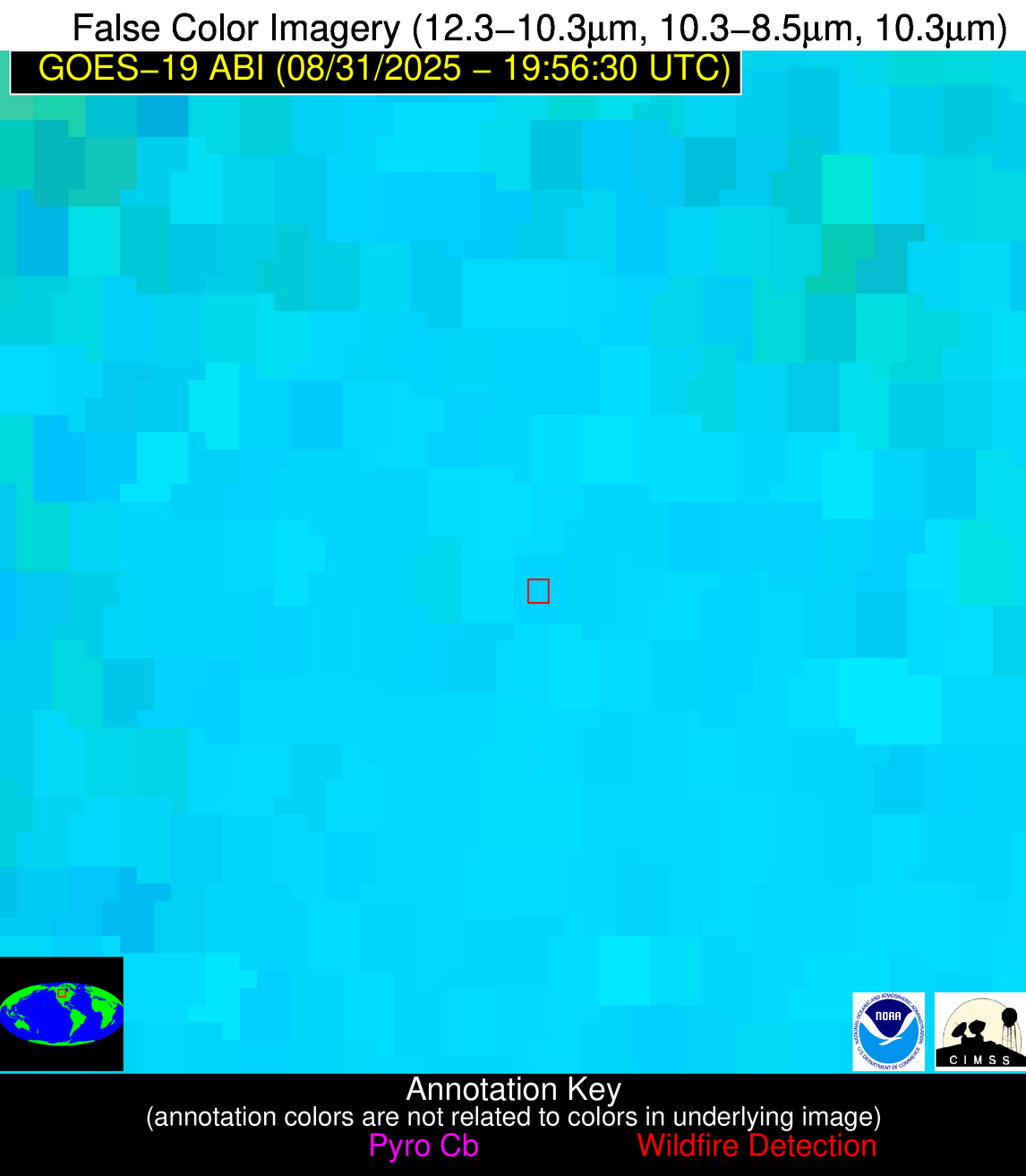
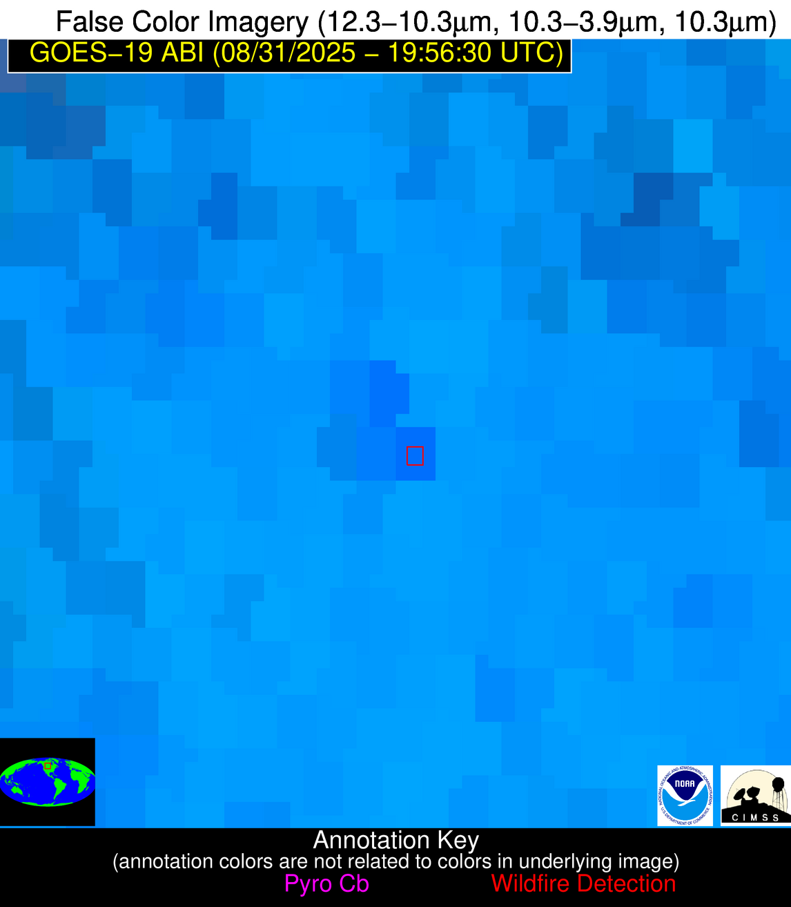
| Latest Satellite Imagery: | |
| View all event imagery » | |
Possible Wildfire
| Basic Information | |
|---|---|
| State/Province(s) | MN |
| Country/Countries | United States |
| County/Locality(s) | Roseau County, MN |
| NWS WFO | Grand Forks ND |
| Identification Method | Enhanced Contextual (Clear) |
| Mean Object Date/Time | 2025-08-31 19:56:22UTC |
| Radiative Center (Lat, Lon): | 48.728054°, -96.372498° |
| Nearby Counties (meeting alert criteria): |
|
| Total Radiative Power Anomaly | n/a |
| Total Radiative Power | 43.50 MW |
| Map: | |
| Additional Information | |
| Alert Status | New Feature |
| Type of Event | Nominal Risk |
| Event Priority Ranking | 4 |
| Maximum Observed BT (3.9 um) | 305.98 K |
| Observed - Background BT (3.9 um) | 6.11 K |
| BT Anomaly (3.9 um) | 3.81 K |
| Maximum Observed - Clear RTM BT (3.9 um) | 6.84 K |
| Maximum Observed BTD (3.9-10/11/12 um) | 15.03 K |
| Observed - Background BTD (3.9-10/11/12 um) | 5.47 K |
| BTD Anomaly (3.9-10/11/12 um) | 5.33 K |
| Similar Pixel Count | 11 |
| BT Time Tendency (3.9 um) | 3.70 K |
| Image Interval | 5.00 minutes |
| Fraction of Surrounding LWIR Pixels that are Colder | 0.88 |
| Fraction of Surrounding Red Channel Pixels that are Brighter | 1.00 |
| Maximum Radiative Power | 25.32 MW |
| Maximum Radiative Power Uncertainty | 0.00 MW |
| Total Radiative Power Uncertainty | 0.00 MW |
| Mean Viewing Angle | 59.90° |
| Mean Solar Zenith Angle | 44.00° |
| Mean Glint Angle | 86.30° |
| Water Fraction | 0.00 |
| Total Pixel Area | 15.90 km2 |
| Latest Satellite Imagery: | |
| View all event imagery » | |
Possible Wildfire
| Basic Information | |
|---|---|
| State/Province(s) | ID |
| Country/Countries | United States |
| County/Locality(s) | Lincoln County, ID |
| NWS WFO | Pocatello ID |
| Identification Method | Enhanced Contextual (Clear) |
| Mean Object Date/Time | 2025-08-31 19:56:50UTC |
| Radiative Center (Lat, Lon): | 42.958611°, -114.583336° |
| Nearby Counties (meeting alert criteria): |
|
| Total Radiative Power Anomaly | n/a |
| Total Radiative Power | 14.46 MW |
| Map: | |
| Additional Information | |
| Alert Status | New Feature |
| Type of Event | Nominal Risk |
| Event Priority Ranking | 4 |
| Maximum Observed BT (3.9 um) | 316.97 K |
| Observed - Background BT (3.9 um) | 1.85 K |
| BT Anomaly (3.9 um) | 1.23 K |
| Maximum Observed - Clear RTM BT (3.9 um) | 10.53 K |
| Maximum Observed BTD (3.9-10/11/12 um) | 11.67 K |
| Observed - Background BTD (3.9-10/11/12 um) | 1.71 K |
| BTD Anomaly (3.9-10/11/12 um) | 3.80 K |
| Similar Pixel Count | 24 |
| BT Time Tendency (3.9 um) | 0.30 K |
| Image Interval | 5.00 minutes |
| Fraction of Surrounding LWIR Pixels that are Colder | 0.68 |
| Fraction of Surrounding Red Channel Pixels that are Brighter | 1.00 |
| Maximum Radiative Power | 14.46 MW |
| Maximum Radiative Power Uncertainty | 0.00 MW |
| Total Radiative Power Uncertainty | 0.00 MW |
| Mean Viewing Angle | 63.70° |
| Mean Solar Zenith Angle | 34.10° |
| Mean Glint Angle | 84.30° |
| Water Fraction | 0.00 |
| Total Pixel Area | 9.00 km2 |
| Latest Satellite Imagery: | |
| View all event imagery » | |


