Wildfire Alert Report
| Date: | 2025-08-11 |
|---|---|
| Time: | 18:26:17 |
| Production Date and Time: | 2025-08-11 18:31:11 UTC |
| Primary Instrument: | GOES-19 ABI |
| Wmo Spacecraft Id: | 666 |
| Location/orbit: | GEO |
| L1 File: | OR_ABI-L1b-RadC-M6C14_G19_s20252231826176_e20252231828549_c20252231829030.nc |
| L1 File(s) - Temporal | OR_ABI-L1b-RadC-M6C14_G19_s20252231821176_e20252231823549_c20252231824036.nc |
| Number Of Thermal Anomaly Alerts: | 4 |
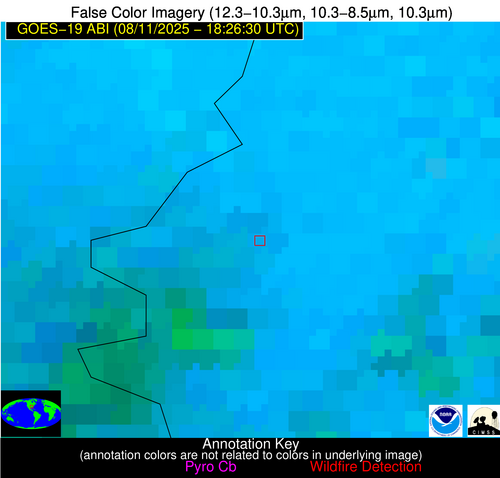
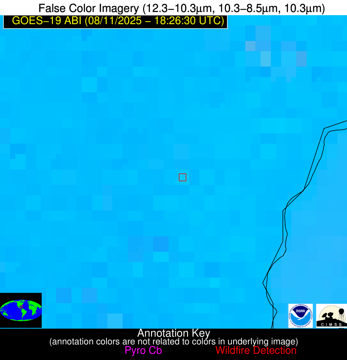
Possible Wildfire
| Basic Information | |
|---|---|
| State/Province(s) | MA |
| Country/Countries | United States |
| County/Locality(s) | Worcester County, MA |
| NWS WFO | Norton MA |
| Identification Method | Enhanced Contextual (Clear) |
| Mean Object Date/Time | 2025-08-11 18:26:53UTC |
| Radiative Center (Lat, Lon): | 42.581944°, -72.001663° |
| Nearby Counties (meeting alert criteria): |
|
| Total Radiative Power Anomaly | n/a |
| Total Radiative Power | 19.28 MW |
| Map: | |
| Additional Information | |
| Alert Status | New Feature |
| Type of Event | Likely an Urban Source |
| Event Priority Ranking | 4 |
| Maximum Observed BT (3.9 um) | 306.70 K |
| Observed - Background BT (3.9 um) | 4.42 K |
| BT Anomaly (3.9 um) | 4.37 K |
| Maximum Observed - Clear RTM BT (3.9 um) | 6.71 K |
| Maximum Observed BTD (3.9-10/11/12 um) | 17.09 K |
| Observed - Background BTD (3.9-10/11/12 um) | 4.30 K |
| BTD Anomaly (3.9-10/11/12 um) | 3.70 K |
| Similar Pixel Count | 21 |
| BT Time Tendency (3.9 um) | 0.40 K |
| Image Interval | 5.00 minutes |
| Fraction of Surrounding LWIR Pixels that are Colder | 0.62 |
| Fraction of Surrounding Red Channel Pixels that are Brighter | 1.00 |
| Maximum Radiative Power | 19.28 MW |
| Maximum Radiative Power Uncertainty | 0.00 MW |
| Total Radiative Power Uncertainty | 0.00 MW |
| Mean Viewing Angle | 49.50° |
| Mean Solar Zenith Angle | 33.40° |
| Mean Glint Angle | 77.30° |
| Water Fraction | 0.00 |
| Total Pixel Area | 6.20 km2 |
| Latest Satellite Imagery: | |
| View all event imagery » | |
Possible Wildfire
| Basic Information | |
|---|---|
| State/Province(s) | OR |
| Country/Countries | United States |
| County/Locality(s) | Lake County, OR |
| NWS WFO | Medford OR |
| Identification Method | Enhanced Contextual (Clear) |
| Mean Object Date/Time | 2025-08-11 18:26:48UTC |
| Radiative Center (Lat, Lon): | 42.975834°, -121.279442° |
| Nearby Counties (meeting alert criteria): |
|
| Total Radiative Power Anomaly | n/a |
| Total Radiative Power | 15.55 MW |
| Map: | |
| Additional Information | |
| Alert Status | New Feature |
| Type of Event | Nominal Risk |
| Event Priority Ranking | 4 |
| Maximum Observed BT (3.9 um) | 306.80 K |
| Observed - Background BT (3.9 um) | 2.62 K |
| BT Anomaly (3.9 um) | 1.09 K |
| Maximum Observed - Clear RTM BT (3.9 um) | 8.40 K |
| Maximum Observed BTD (3.9-10/11/12 um) | 12.78 K |
| Observed - Background BTD (3.9-10/11/12 um) | 2.65 K |
| BTD Anomaly (3.9-10/11/12 um) | 2.04 K |
| Similar Pixel Count | 25 |
| BT Time Tendency (3.9 um) | 0.90 K |
| Image Interval | 5.00 minutes |
| Fraction of Surrounding LWIR Pixels that are Colder | 0.41 |
| Fraction of Surrounding Red Channel Pixels that are Brighter | 1.00 |
| Maximum Radiative Power | 15.55 MW |
| Maximum Radiative Power Uncertainty | 0.00 MW |
| Total Radiative Power Uncertainty | 0.00 MW |
| Mean Viewing Angle | 68.30° |
| Mean Solar Zenith Angle | 35.20° |
| Mean Glint Angle | 103.00° |
| Water Fraction | 0.00 |
| Total Pixel Area | 10.80 km2 |
| Latest Satellite Imagery: | |
| View all event imagery » | |
Possible Wildfire
| Basic Information | |
|---|---|
| State/Province(s) | MS |
| Country/Countries | United States |
| County/Locality(s) | Bolivar County, MS |
| NWS WFO | Jackson MS |
| Identification Method | Enhanced Contextual (Cloud) |
| Mean Object Date/Time | 2025-08-11 18:27:21UTC |
| Radiative Center (Lat, Lon): | 33.699444°, -91.011665° |
| Nearby Counties (meeting alert criteria): |
|
| Total Radiative Power Anomaly | n/a |
| Total Radiative Power | 77.93 MW |
| Map: | |
| Additional Information | |
| Alert Status | New Feature |
| Type of Event | Nominal Risk |
| Event Priority Ranking | 4 |
| Maximum Observed BT (3.9 um) | 313.94 K |
| Observed - Background BT (3.9 um) | 11.08 K |
| BT Anomaly (3.9 um) | 7.40 K |
| Maximum Observed - Clear RTM BT (3.9 um) | 7.43 K |
| Maximum Observed BTD (3.9-10/11/12 um) | 31.87 K |
| Observed - Background BTD (3.9-10/11/12 um) | 11.12 K |
| BTD Anomaly (3.9-10/11/12 um) | 5.99 K |
| Similar Pixel Count | 0 |
| BT Time Tendency (3.9 um) | 5.90 K |
| Image Interval | 5.00 minutes |
| Fraction of Surrounding LWIR Pixels that are Colder | 0.41 |
| Fraction of Surrounding Red Channel Pixels that are Brighter | 0.29 |
| Maximum Radiative Power | 77.93 MW |
| Maximum Radiative Power Uncertainty | 0.00 MW |
| Total Radiative Power Uncertainty | 0.00 MW |
| Mean Viewing Angle | 43.10° |
| Mean Solar Zenith Angle | 18.40° |
| Mean Glint Angle | 58.00° |
| Water Fraction | 0.00 |
| Total Pixel Area | 5.50 km2 |
| Latest Satellite Imagery: | |
| View all event imagery » | |
Possible Wildfire
| Basic Information | |
|---|---|
| State/Province(s) | FL |
| Country/Countries | United States |
| County/Locality(s) | Miami-Dade County, FL |
| NWS WFO | Miami FL |
| Identification Method | Enhanced Contextual (Cloud) |
| Mean Object Date/Time | 2025-08-11 18:27:52UTC |
| Radiative Center (Lat, Lon): | 25.653889°, -80.480553° |
| Nearby Counties (meeting alert criteria): |
|
| Total Radiative Power Anomaly | n/a |
| Total Radiative Power | 75.97 MW |
| Map: | |
| Additional Information | |
| Alert Status | New Feature |
| Type of Event | Solar panel (database + spectral) |
| Event Priority Ranking | 5 |
| Maximum Observed BT (3.9 um) | 323.28 K |
| Observed - Background BT (3.9 um) | 15.05 K |
| BT Anomaly (3.9 um) | 7.18 K |
| Maximum Observed - Clear RTM BT (3.9 um) | 14.42 K |
| Maximum Observed BTD (3.9-10/11/12 um) | 29.29 K |
| Observed - Background BTD (3.9-10/11/12 um) | 15.79 K |
| BTD Anomaly (3.9-10/11/12 um) | 8.52 K |
| Similar Pixel Count | 0 |
| BT Time Tendency (3.9 um) | 11.70 K |
| Image Interval | 5.00 minutes |
| Fraction of Surrounding LWIR Pixels that are Colder | 0.18 |
| Fraction of Surrounding Red Channel Pixels that are Brighter | 0.00 |
| Maximum Radiative Power | 75.97 MW |
| Maximum Radiative Power Uncertainty | 0.00 MW |
| Total Radiative Power Uncertainty | 0.00 MW |
| Mean Viewing Angle | 30.80° |
| Mean Solar Zenith Angle | 17.00° |
| Mean Glint Angle | 39.60° |
| Water Fraction | 0.00 |
| Total Pixel Area | 4.70 km2 |
| Latest Satellite Imagery: | |
| View all event imagery » | |


