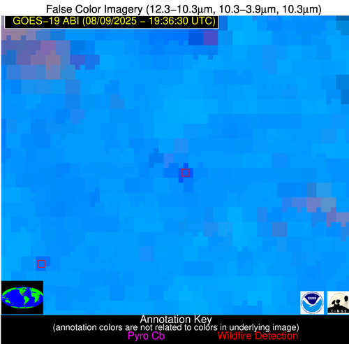
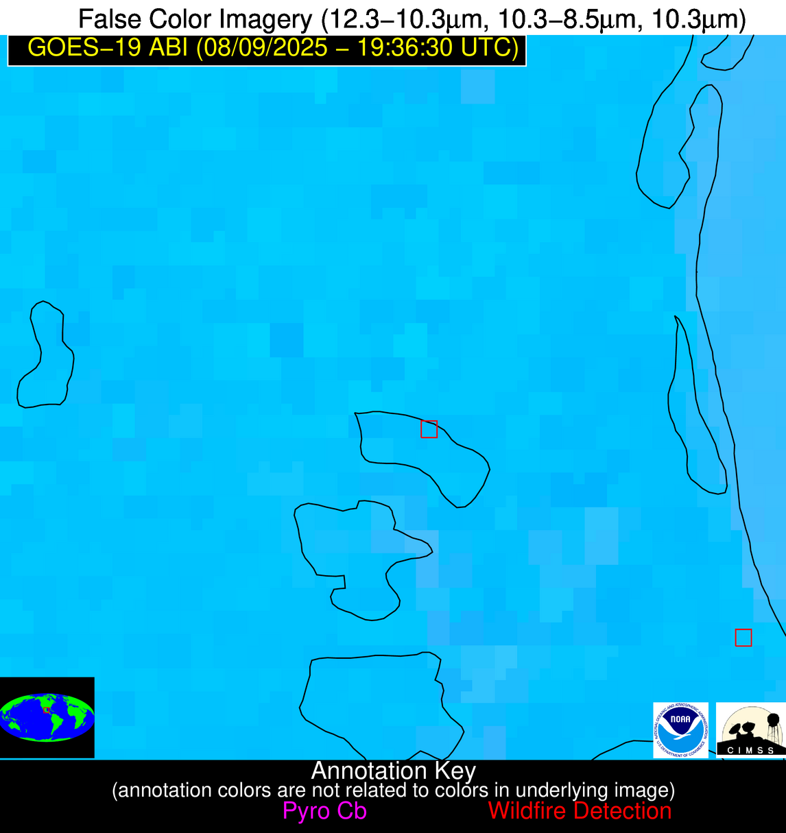
Wildfire Alert Report
| Date: | 2025-08-09 |
|---|---|
| Time: | 19:36:17 |
| Production Date and Time: | 2025-08-09 19:41:13 UTC |
| Primary Instrument: | GOES-19 ABI |
| Wmo Spacecraft Id: | 666 |
| Location/orbit: | GEO |
| L1 File: | OR_ABI-L1b-RadC-M6C14_G19_s20252211936174_e20252211938547_c20252211939031.nc |
| L1 File(s) - Temporal | OR_ABI-L1b-RadC-M6C14_G19_s20252211931174_e20252211933547_c20252211934052.nc |
| Number Of Thermal Anomaly Alerts: | 4 |
Possible Wildfire
| Basic Information | |
|---|---|
| State/Province(s) | KS |
| Country/Countries | United States |
| County/Locality(s) | Sumner County, KS |
| NWS WFO | Wichita KS |
| Identification Method | Enhanced Contextual (Cloud) |
| Mean Object Date/Time | 2025-08-09 19:36:50UTC |
| Radiative Center (Lat, Lon): | 37.098888°, -97.681389° |
| Nearby Counties (meeting alert criteria): |
|
| Total Radiative Power Anomaly | n/a |
| Total Radiative Power | 156.35 MW |
| Map: | |
| Additional Information | |
| Alert Status | New Feature |
| Type of Event | Nominal Risk |
| Event Priority Ranking | 4 |
| Maximum Observed BT (3.9 um) | 322.97 K |
| Observed - Background BT (3.9 um) | 11.77 K |
| BT Anomaly (3.9 um) | 5.89 K |
| Maximum Observed - Clear RTM BT (3.9 um) | 15.10 K |
| Maximum Observed BTD (3.9-10/11/12 um) | 31.26 K |
| Observed - Background BTD (3.9-10/11/12 um) | 12.04 K |
| BTD Anomaly (3.9-10/11/12 um) | 5.27 K |
| Similar Pixel Count | 0 |
| BT Time Tendency (3.9 um) | 14.90 K |
| Image Interval | 5.00 minutes |
| Fraction of Surrounding LWIR Pixels that are Colder | 0.40 |
| Fraction of Surrounding Red Channel Pixels that are Brighter | 1.00 |
| Maximum Radiative Power | 92.75 MW |
| Maximum Radiative Power Uncertainty | 0.00 MW |
| Total Radiative Power Uncertainty | 0.00 MW |
| Mean Viewing Angle | 49.30° |
| Mean Solar Zenith Angle | 24.70° |
| Mean Glint Angle | 60.70° |
| Water Fraction | 0.00 |
| Total Pixel Area | 12.30 km2 |
| Latest Satellite Imagery: | |
| View all event imagery » | |
Possible Wildfire
| Basic Information | |
|---|---|
| State/Province(s) | OK |
| Country/Countries | United States |
| County/Locality(s) | Osage County, OK |
| NWS WFO | Tulsa OK |
| Identification Method | Enhanced Contextual (Clear) |
| Mean Object Date/Time | 2025-08-09 19:36:50UTC |
| Radiative Center (Lat, Lon): | 36.845276°, -96.519165° |
| Nearby Counties (meeting alert criteria): |
|
| Total Radiative Power Anomaly | n/a |
| Total Radiative Power | 8.28 MW |
| Map: | |
| Additional Information | |
| Alert Status | New Feature |
| Type of Event | Nominal Risk |
| Event Priority Ranking | 4 |
| Maximum Observed BT (3.9 um) | 311.60 K |
| Observed - Background BT (3.9 um) | 3.24 K |
| BT Anomaly (3.9 um) | 2.59 K |
| Maximum Observed - Clear RTM BT (3.9 um) | 7.15 K |
| Maximum Observed BTD (3.9-10/11/12 um) | 16.61 K |
| Observed - Background BTD (3.9-10/11/12 um) | 2.50 K |
| BTD Anomaly (3.9-10/11/12 um) | 2.02 K |
| Similar Pixel Count | 25 |
| BT Time Tendency (3.9 um) | 0.40 K |
| Image Interval | 5.00 minutes |
| Fraction of Surrounding LWIR Pixels that are Colder | 0.85 |
| Fraction of Surrounding Red Channel Pixels that are Brighter | 1.00 |
| Maximum Radiative Power | 8.28 MW |
| Maximum Radiative Power Uncertainty | 0.00 MW |
| Total Radiative Power Uncertainty | 0.00 MW |
| Mean Viewing Angle | 48.50° |
| Mean Solar Zenith Angle | 25.00° |
| Mean Glint Angle | 59.70° |
| Water Fraction | 0.00 |
| Total Pixel Area | 6.00 km2 |
| Latest Satellite Imagery: | |
| View all event imagery » | |
Possible Wildfire
| Basic Information | |
|---|---|
| State/Province(s) | LA |
| Country/Countries | United States |
| County/Locality(s) | Avoyelles Parish, LA |
| NWS WFO | Lake Charles LA |
| Identification Method | Enhanced Contextual (Clear) |
| Mean Object Date/Time | 2025-08-09 19:37:20UTC |
| Radiative Center (Lat, Lon): | 31.010279°, -91.988892° |
| Nearby Counties (meeting alert criteria): |
|
| Total Radiative Power Anomaly | n/a |
| Total Radiative Power | 42.25 MW |
| Map: | |
| Additional Information | |
| Alert Status | New Feature |
| Type of Event | Nominal Risk |
| Event Priority Ranking | 4 |
| Maximum Observed BT (3.9 um) | 316.97 K |
| Observed - Background BT (3.9 um) | 11.39 K |
| BT Anomaly (3.9 um) | 6.66 K |
| Maximum Observed - Clear RTM BT (3.9 um) | 10.06 K |
| Maximum Observed BTD (3.9-10/11/12 um) | 24.75 K |
| Observed - Background BTD (3.9-10/11/12 um) | 10.15 K |
| BTD Anomaly (3.9-10/11/12 um) | 7.34 K |
| Similar Pixel Count | 6 |
| BT Time Tendency (3.9 um) | 8.30 K |
| Image Interval | 5.00 minutes |
| Fraction of Surrounding LWIR Pixels that are Colder | 0.97 |
| Fraction of Surrounding Red Channel Pixels that are Brighter | 0.82 |
| Maximum Radiative Power | 42.25 MW |
| Maximum Radiative Power Uncertainty | 0.00 MW |
| Total Radiative Power Uncertainty | 0.00 MW |
| Mean Viewing Angle | 40.70° |
| Mean Solar Zenith Angle | 23.90° |
| Mean Glint Angle | 47.10° |
| Water Fraction | 0.00 |
| Total Pixel Area | 5.30 km2 |
| Latest Satellite Imagery: | |
| View all event imagery » | |
Possible Wildfire
| Basic Information | |
|---|---|
| State/Province(s) | Tamaulipas |
| Country/Countries | Mexico |
| County/Locality(s) | Altamira, Tamaulipas |
| NWS WFO | N/A |
| Identification Method | Enhanced Contextual (Clear) |
| Mean Object Date/Time | 2025-08-09 19:38:19UTC |
| Radiative Center (Lat, Lon): | 22.421389°, -98.043610° |
| Nearby Counties (meeting alert criteria): |
|
| Total Radiative Power Anomaly | n/a |
| Total Radiative Power | 7.18 MW |
| Map: | |
| Additional Information | |
| Alert Status | New Feature |
| Type of Event | Nominal Risk |
| Event Priority Ranking | 4 |
| Maximum Observed BT (3.9 um) | 316.16 K |
| Observed - Background BT (3.9 um) | 3.73 K |
| BT Anomaly (3.9 um) | 1.48 K |
| Maximum Observed - Clear RTM BT (3.9 um) | 11.77 K |
| Maximum Observed BTD (3.9-10/11/12 um) | 19.24 K |
| Observed - Background BTD (3.9-10/11/12 um) | 3.34 K |
| BTD Anomaly (3.9-10/11/12 um) | 1.50 K |
| Similar Pixel Count | 14 |
| BT Time Tendency (3.9 um) | 0.10 K |
| Image Interval | 5.00 minutes |
| Fraction of Surrounding LWIR Pixels that are Colder | 0.89 |
| Fraction of Surrounding Red Channel Pixels that are Brighter | 1.00 |
| Maximum Radiative Power | 7.18 MW |
| Maximum Radiative Power Uncertainty | 0.00 MW |
| Total Radiative Power Uncertainty | 0.00 MW |
| Mean Viewing Angle | 37.00° |
| Mean Solar Zenith Angle | 15.10° |
| Mean Glint Angle | 32.70° |
| Water Fraction | 0.00 |
| Total Pixel Area | 10.00 km2 |
| Latest Satellite Imagery: | |
| View all event imagery » | |


