Jan 2026: Due to an ongoing data center cooling system construction project, NGFS data outages may occur with little or no notice.
Wildfire Alert Report
| Date: | 2025-08-07 |
|---|---|
| Time: | 21:01:17 |
| Production Date and Time: | 2025-08-07 21:06:10 UTC |
| Primary Instrument: | GOES-19 ABI |
| Wmo Spacecraft Id: | 666 |
| Location/orbit: | GEO |
| L1 File: | OR_ABI-L1b-RadC-M6C14_G19_s20252192101172_e20252192103546_c20252192104037.nc |
| L1 File(s) - Temporal | OR_ABI-L1b-RadC-M6C14_G19_s20252192056172_e20252192058546_c20252192059032.nc |
| Number Of Thermal Anomaly Alerts: | 5 |
Possible Wildfire
| Basic Information | |
|---|---|
| State/Province(s) | WA |
| Country/Countries | United States |
| County/Locality(s) | Franklin County, WA |
| NWS WFO | Pendleton OR |
| Identification Method | Enhanced Contextual (Cloud) |
| Mean Object Date/Time | 2025-08-07 21:01:19UTC |
| Radiative Center (Lat, Lon): | 46.481667°, -119.064163° |
| Nearby Counties (meeting alert criteria): |
|
| Total Radiative Power Anomaly | n/a |
| Total Radiative Power | 90.27 MW |
| Map: | |
| Additional Information | |
| Alert Status | New Feature |
| Type of Event | Nominal Risk |
| Event Priority Ranking | 4 |
| Maximum Observed BT (3.9 um) | 310.55 K |
| Observed - Background BT (3.9 um) | 8.09 K |
| BT Anomaly (3.9 um) | 4.21 K |
| Maximum Observed - Clear RTM BT (3.9 um) | 12.50 K |
| Maximum Observed BTD (3.9-10/11/12 um) | 22.36 K |
| Observed - Background BTD (3.9-10/11/12 um) | 8.43 K |
| BTD Anomaly (3.9-10/11/12 um) | 5.78 K |
| Similar Pixel Count | 0 |
| BT Time Tendency (3.9 um) | 10.40 K |
| Image Interval | 5.00 minutes |
| Fraction of Surrounding LWIR Pixels that are Colder | 0.71 |
| Fraction of Surrounding Red Channel Pixels that are Brighter | 1.00 |
| Maximum Radiative Power | 90.27 MW |
| Maximum Radiative Power Uncertainty | 0.00 MW |
| Total Radiative Power Uncertainty | 0.00 MW |
| Mean Viewing Angle | 68.80° |
| Mean Solar Zenith Angle | 32.10° |
| Mean Glint Angle | 77.00° |
| Water Fraction | 0.00 |
| Total Pixel Area | 11.10 km2 |
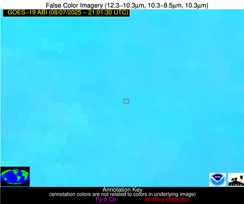
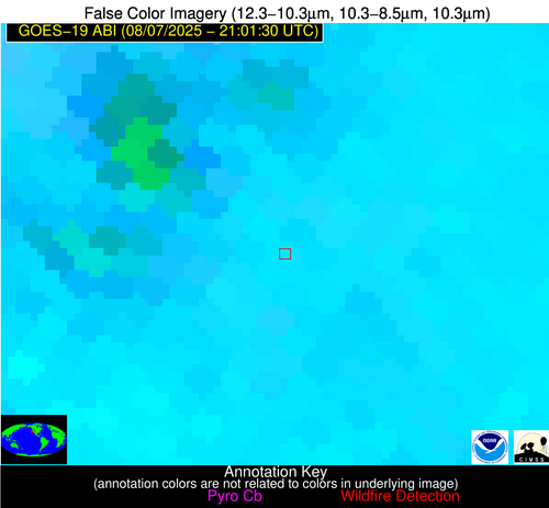
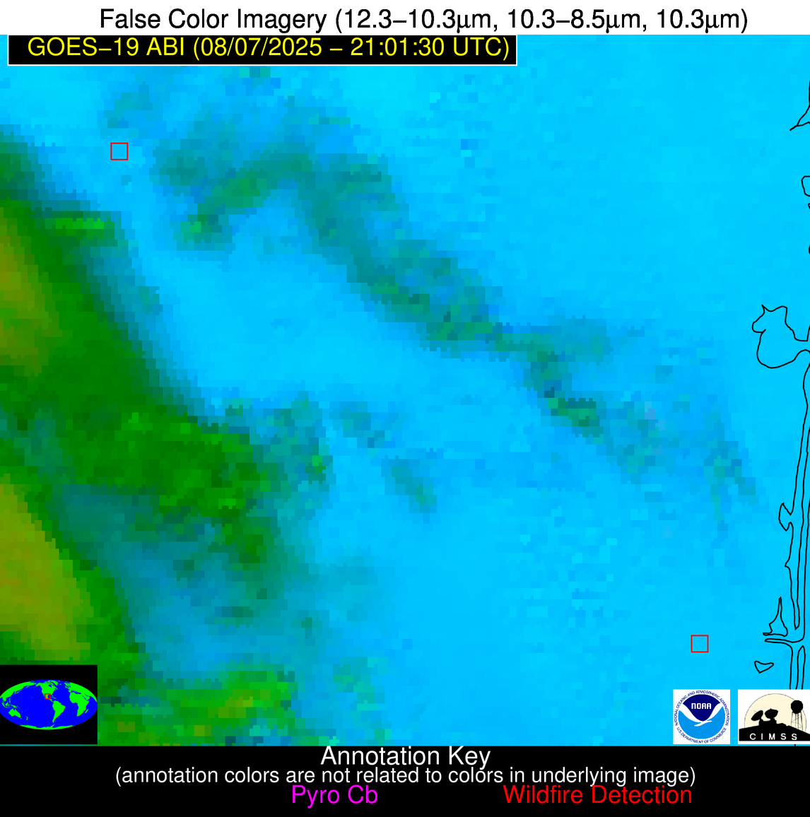
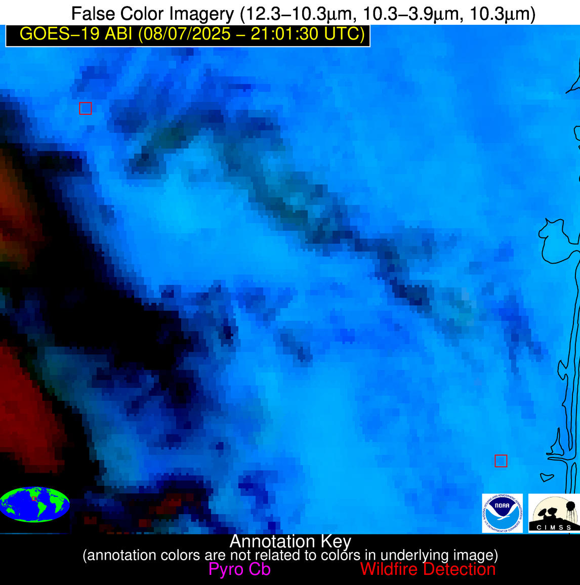
| Latest Satellite Imagery: | |
| View all event imagery » | |
Possible Wildfire
| Basic Information | |
|---|---|
| State/Province(s) | WY |
| Country/Countries | United States |
| County/Locality(s) | Niobrara County, WY |
| NWS WFO | Cheyenne WY |
| Identification Method | Enhanced Contextual (Clear) |
| Mean Object Date/Time | 2025-08-07 21:01:49UTC |
| Radiative Center (Lat, Lon): | 43.293610°, -104.810837° |
| Nearby Counties (meeting alert criteria): |
|
| Total Radiative Power Anomaly | n/a |
| Total Radiative Power | 22.87 MW |
| Map: | |
| Additional Information | |
| Alert Status | New Feature |
| Type of Event | Elevated SPC Risk and Red Flag Warning |
| Event Priority Ranking | 1 |
| Maximum Observed BT (3.9 um) | 321.32 K |
| Observed - Background BT (3.9 um) | 2.89 K |
| BT Anomaly (3.9 um) | 2.61 K |
| Maximum Observed - Clear RTM BT (3.9 um) | 14.64 K |
| Maximum Observed BTD (3.9-10/11/12 um) | 10.54 K |
| Observed - Background BTD (3.9-10/11/12 um) | 2.79 K |
| BTD Anomaly (3.9-10/11/12 um) | 8.57 K |
| Similar Pixel Count | 25 |
| BT Time Tendency (3.9 um) | 2.30 K |
| Image Interval | 5.00 minutes |
| Fraction of Surrounding LWIR Pixels that are Colder | 0.51 |
| Fraction of Surrounding Red Channel Pixels that are Brighter | 1.00 |
| Maximum Radiative Power | 22.87 MW |
| Maximum Radiative Power Uncertainty | 0.00 MW |
| Total Radiative Power Uncertainty | 0.00 MW |
| Mean Viewing Angle | 58.50° |
| Mean Solar Zenith Angle | 36.10° |
| Mean Glint Angle | 64.00° |
| Water Fraction | 0.00 |
| Total Pixel Area | 7.60 km2 |
| Latest Satellite Imagery: | |
| View all event imagery » | |
Possible Wildfire
| Basic Information | |
|---|---|
| State/Province(s) | CA |
| Country/Countries | United States |
| County/Locality(s) | Tulare County, CA |
| NWS WFO | Hanford CA |
| Identification Method | Enhanced Contextual (Clear) |
| Mean Object Date/Time | 2025-08-07 21:02:18UTC |
| Radiative Center (Lat, Lon): | 36.211666°, -119.341942° |
| Nearby Counties (meeting alert criteria): |
|
| Total Radiative Power Anomaly | n/a |
| Total Radiative Power | 12.37 MW |
| Map: | |
| Additional Information | |
| Alert Status | New Feature |
| Type of Event | Nominal Risk |
| Event Priority Ranking | 4 |
| Maximum Observed BT (3.9 um) | 318.39 K |
| Observed - Background BT (3.9 um) | 2.96 K |
| BT Anomaly (3.9 um) | 1.49 K |
| Maximum Observed - Clear RTM BT (3.9 um) | 6.71 K |
| Maximum Observed BTD (3.9-10/11/12 um) | 14.16 K |
| Observed - Background BTD (3.9-10/11/12 um) | 2.49 K |
| BTD Anomaly (3.9-10/11/12 um) | 2.01 K |
| Similar Pixel Count | 22 |
| BT Time Tendency (3.9 um) | 2.90 K |
| Image Interval | 5.00 minutes |
| Fraction of Surrounding LWIR Pixels that are Colder | 0.80 |
| Fraction of Surrounding Red Channel Pixels that are Brighter | 0.96 |
| Maximum Radiative Power | 12.37 MW |
| Maximum Radiative Power Uncertainty | 0.00 MW |
| Total Radiative Power Uncertainty | 0.00 MW |
| Mean Viewing Angle | 62.70° |
| Mean Solar Zenith Angle | 23.30° |
| Mean Glint Angle | 62.60° |
| Water Fraction | 0.00 |
| Total Pixel Area | 8.70 km2 |
| Latest Satellite Imagery: | |
| View all event imagery » | |
Possible Wildfire
| Basic Information | |
|---|---|
| State/Province(s) | Nuevo León |
| Country/Countries | Mexico |
| County/Locality(s) | Linares, Nuevo León |
| NWS WFO | N/A |
| Identification Method | Enhanced Contextual (Clear) |
| Mean Object Date/Time | 2025-08-07 21:02:49UTC |
| Radiative Center (Lat, Lon): | 24.916111°, -99.371391° |
| Nearby Counties (meeting alert criteria): |
|
| Total Radiative Power Anomaly | n/a |
| Total Radiative Power | 17.95 MW |
| Map: | |
| Additional Information | |
| Alert Status | New Feature |
| Type of Event | Nominal Risk |
| Event Priority Ranking | 4 |
| Maximum Observed BT (3.9 um) | 316.40 K |
| Observed - Background BT (3.9 um) | 3.66 K |
| BT Anomaly (3.9 um) | 2.39 K |
| Maximum Observed - Clear RTM BT (3.9 um) | 5.99 K |
| Maximum Observed BTD (3.9-10/11/12 um) | 23.29 K |
| Observed - Background BTD (3.9-10/11/12 um) | 3.73 K |
| BTD Anomaly (3.9-10/11/12 um) | 2.21 K |
| Similar Pixel Count | 25 |
| BT Time Tendency (3.9 um) | 3.30 K |
| Image Interval | 5.00 minutes |
| Fraction of Surrounding LWIR Pixels that are Colder | 0.82 |
| Fraction of Surrounding Red Channel Pixels that are Brighter | 1.00 |
| Maximum Radiative Power | 17.95 MW |
| Maximum Radiative Power Uncertainty | 0.00 MW |
| Total Radiative Power Uncertainty | 0.00 MW |
| Mean Viewing Angle | 39.90° |
| Mean Solar Zenith Angle | 33.20° |
| Mean Glint Angle | 30.00° |
| Water Fraction | 0.00 |
| Total Pixel Area | 5.20 km2 |
| Latest Satellite Imagery: | |
| View all event imagery » | |
Possible Wildfire
| Basic Information | |
|---|---|
| State/Province(s) | Tamaulipas |
| Country/Countries | Mexico |
| County/Locality(s) | Soto la Marina, Tamaulipas |
| NWS WFO | N/A |
| Identification Method | Enhanced Contextual (Clear) |
| Mean Object Date/Time | 2025-08-07 21:03:19UTC |
| Radiative Center (Lat, Lon): | 23.775278°, -97.976112° |
| Nearby Counties (meeting alert criteria): |
|
| Total Radiative Power Anomaly | n/a |
| Total Radiative Power | 11.75 MW |
| Map: | |
| Additional Information | |
| Alert Status | New Feature |
| Type of Event | Nominal Risk |
| Event Priority Ranking | 4 |
| Maximum Observed BT (3.9 um) | 310.52 K |
| Observed - Background BT (3.9 um) | 3.59 K |
| BT Anomaly (3.9 um) | 1.37 K |
| Maximum Observed - Clear RTM BT (3.9 um) | 6.49 K |
| Maximum Observed BTD (3.9-10/11/12 um) | 17.85 K |
| Observed - Background BTD (3.9-10/11/12 um) | 2.87 K |
| BTD Anomaly (3.9-10/11/12 um) | 1.26 K |
| Similar Pixel Count | 21 |
| BT Time Tendency (3.9 um) | 1.20 K |
| Image Interval | 5.00 minutes |
| Fraction of Surrounding LWIR Pixels that are Colder | 0.90 |
| Fraction of Surrounding Red Channel Pixels that are Brighter | 0.99 |
| Maximum Radiative Power | 11.75 MW |
| Maximum Radiative Power Uncertainty | 0.00 MW |
| Total Radiative Power Uncertainty | 0.00 MW |
| Mean Viewing Angle | 37.90° |
| Mean Solar Zenith Angle | 34.30° |
| Mean Glint Angle | 28.30° |
| Water Fraction | 0.00 |
| Total Pixel Area | 5.10 km2 |
| Latest Satellite Imagery: | |
| View all event imagery » | |


