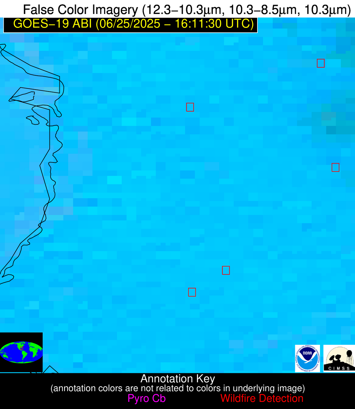
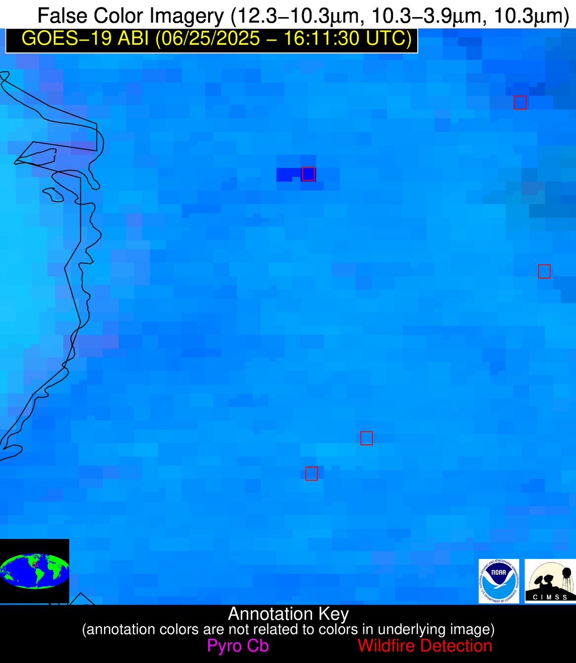
Wildfire Alert Report
| Date: | 2025-06-25 |
|---|---|
| Time: | 16:11:17 |
| Production Date and Time: | 2025-06-25 16:16:18 UTC |
| Primary Instrument: | GOES-19 ABI |
| Wmo Spacecraft Id: | 666 |
| Location/orbit: | GEO |
| L1 File: | OR_ABI-L1b-RadC-M6C14_G19_s20251761611171_e20251761613544_c20251761614034.nc |
| L1 File(s) - Temporal | OR_ABI-L1b-RadC-M6C14_G19_s20251761606171_e20251761608544_c20251761609042.nc |
| Number Of Thermal Anomaly Alerts: | 4 |
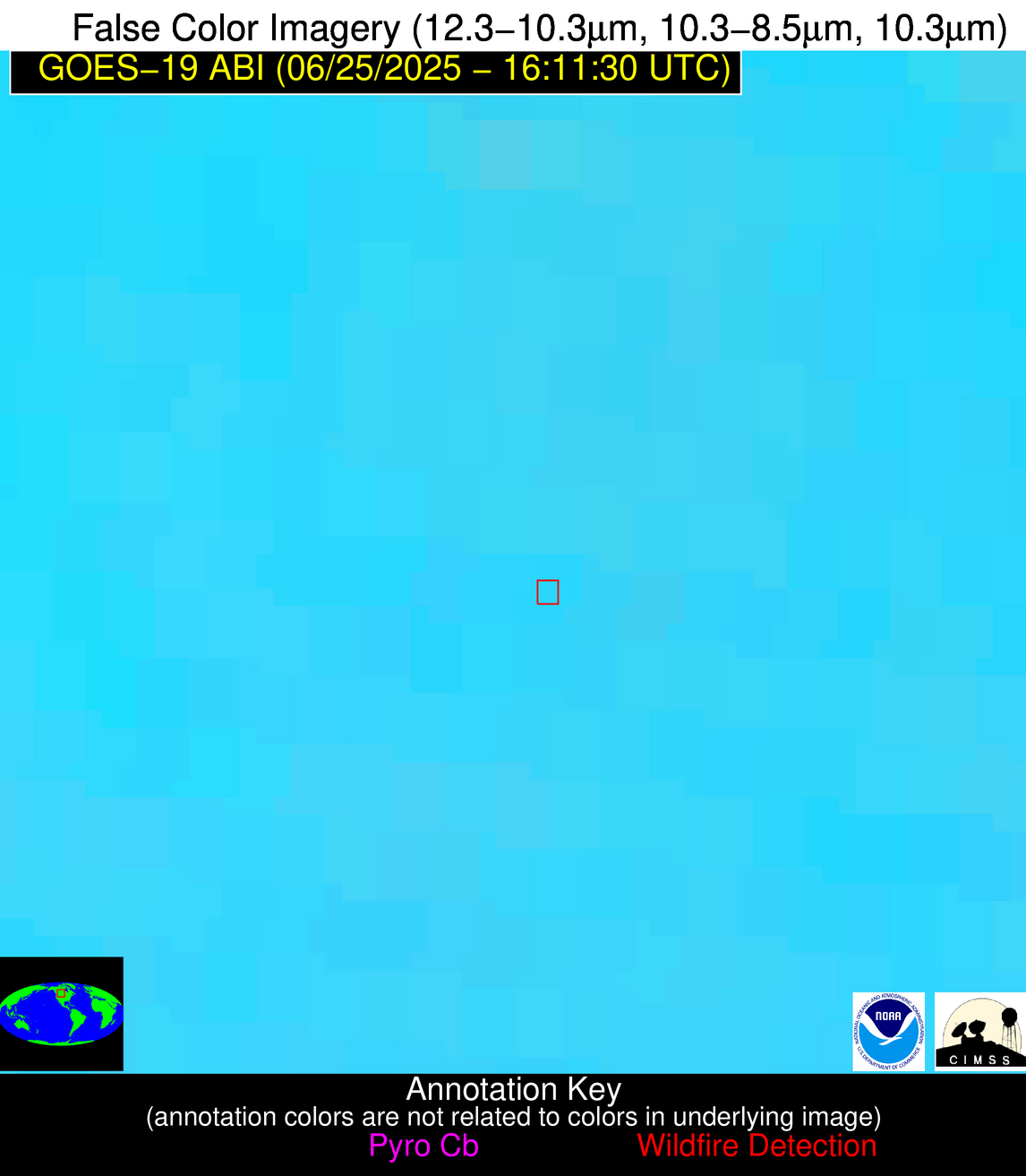
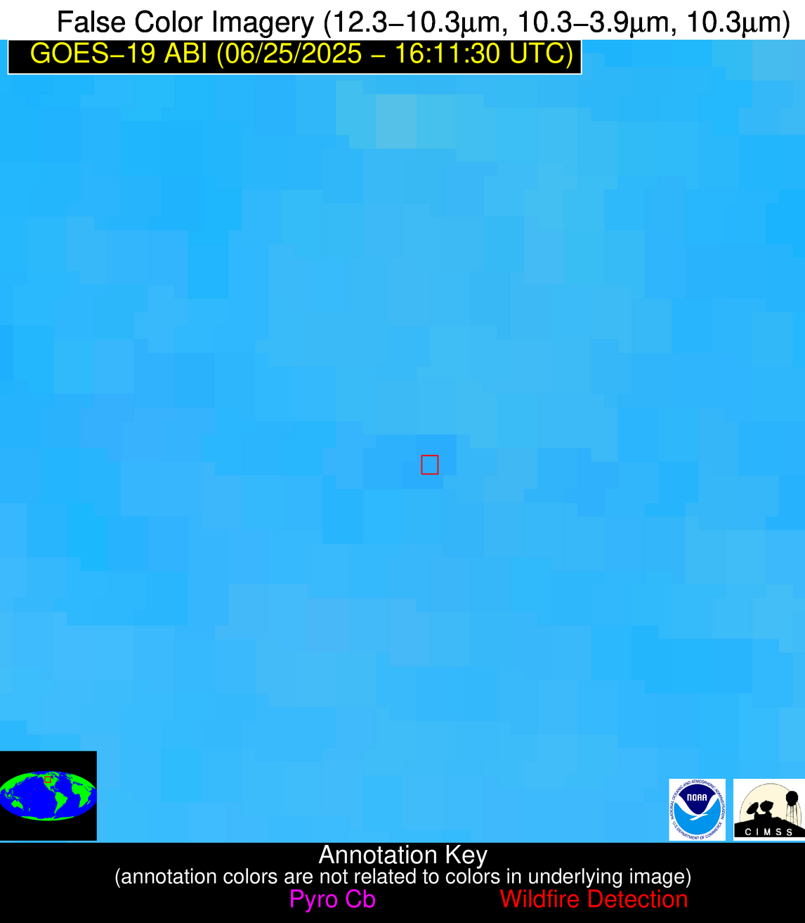
Possible Wildfire
| Basic Information | |
|---|---|
| State/Province(s) | Saskatchewan |
| Country/Countries | Canada |
| County/Locality(s) | Division No. 7, Saskatchewan |
| NWS WFO | N/A |
| Identification Method | Enhanced Contextual (Clear) |
| Mean Object Date/Time | 2025-06-25 16:11:20UTC |
| Radiative Center (Lat, Lon): | 50.180832°, -107.053055° |
| Nearby Counties (meeting alert criteria): |
|
| Total Radiative Power Anomaly | n/a |
| Total Radiative Power | 8.95 MW |
| Map: | |
| Additional Information | |
| Alert Status | New Feature |
| Type of Event | Nominal Risk |
| Event Priority Ranking | 4 |
| Maximum Observed BT (3.9 um) | 299.54 K |
| Observed - Background BT (3.9 um) | 2.50 K |
| BT Anomaly (3.9 um) | 2.43 K |
| Maximum Observed - Clear RTM BT (3.9 um) | 7.64 K |
| Maximum Observed BTD (3.9-10/11/12 um) | 10.11 K |
| Observed - Background BTD (3.9-10/11/12 um) | 1.86 K |
| BTD Anomaly (3.9-10/11/12 um) | 3.05 K |
| Similar Pixel Count | 25 |
| BT Time Tendency (3.9 um) | 0.60 K |
| Image Interval | 5.00 minutes |
| Fraction of Surrounding LWIR Pixels that are Colder | 0.81 |
| Fraction of Surrounding Red Channel Pixels that are Brighter | 1.00 |
| Maximum Radiative Power | 8.95 MW |
| Maximum Radiative Power Uncertainty | 0.00 MW |
| Total Radiative Power Uncertainty | 0.00 MW |
| Mean Viewing Angle | 65.40° |
| Mean Solar Zenith Angle | 43.70° |
| Mean Glint Angle | 103.90° |
| Water Fraction | 0.00 |
| Total Pixel Area | 9.60 km2 |
| Latest Satellite Imagery: | |
| View all event imagery » | |
Possible Wildfire
| Basic Information | |
|---|---|
| State/Province(s) | NC |
| Country/Countries | United States |
| County/Locality(s) | Hyde County, NC |
| NWS WFO | Newport/Morehead City NC |
| Identification Method | Enhanced Contextual (Clear) |
| Mean Object Date/Time | 2025-06-25 16:12:22UTC |
| Radiative Center (Lat, Lon): | 35.430279°, -76.477776° |
| Nearby Counties (meeting alert criteria): |
|
| Total Radiative Power Anomaly | n/a |
| Total Radiative Power | 50.87 MW |
| Map: | |
| Additional Information | |
| Alert Status | New Feature |
| Type of Event | Nominal Risk |
| Event Priority Ranking | 4 |
| Maximum Observed BT (3.9 um) | 316.28 K |
| Observed - Background BT (3.9 um) | 11.10 K |
| BT Anomaly (3.9 um) | 4.73 K |
| Maximum Observed - Clear RTM BT (3.9 um) | 14.30 K |
| Maximum Observed BTD (3.9-10/11/12 um) | 20.85 K |
| Observed - Background BTD (3.9-10/11/12 um) | 10.64 K |
| BTD Anomaly (3.9-10/11/12 um) | 4.99 K |
| Similar Pixel Count | 5 |
| BT Time Tendency (3.9 um) | 8.90 K |
| Image Interval | 5.00 minutes |
| Fraction of Surrounding LWIR Pixels that are Colder | 0.69 |
| Fraction of Surrounding Red Channel Pixels that are Brighter | 0.40 |
| Maximum Radiative Power | 50.87 MW |
| Maximum Radiative Power Uncertainty | 0.00 MW |
| Total Radiative Power Uncertainty | 0.00 MW |
| Mean Viewing Angle | 41.30° |
| Mean Solar Zenith Angle | 17.10° |
| Mean Glint Angle | 54.20° |
| Water Fraction | 0.00 |
| Total Pixel Area | 5.30 km2 |
| Latest Satellite Imagery: | |
| View all event imagery » | |
Possible Wildfire
| Basic Information | |
|---|---|
| State/Province(s) | FL |
| Country/Countries | United States |
| County/Locality(s) | Citrus County, FL |
| NWS WFO | Tampa Bay Ruskin FL |
| Identification Method | Enhanced Contextual (Cloud) |
| Mean Object Date/Time | 2025-06-25 16:12:52UTC |
| Radiative Center (Lat, Lon): | 28.807777°, -82.409721° |
| Nearby Counties (meeting alert criteria): |
|
| Total Radiative Power Anomaly | n/a |
| Total Radiative Power | 197.44 MW |
| Map: | |
| Additional Information | |
| Alert Status | New Feature |
| Type of Event | Nominal Risk |
| Event Priority Ranking | 4 |
| Maximum Observed BT (3.9 um) | 326.08 K |
| Observed - Background BT (3.9 um) | 17.95 K |
| BT Anomaly (3.9 um) | 10.69 K |
| Maximum Observed - Clear RTM BT (3.9 um) | 20.49 K |
| Maximum Observed BTD (3.9-10/11/12 um) | 34.40 K |
| Observed - Background BTD (3.9-10/11/12 um) | 18.98 K |
| BTD Anomaly (3.9-10/11/12 um) | 12.85 K |
| Similar Pixel Count | 0 |
| BT Time Tendency (3.9 um) | 12.20 K |
| Image Interval | 5.00 minutes |
| Fraction of Surrounding LWIR Pixels that are Colder | 0.12 |
| Fraction of Surrounding Red Channel Pixels that are Brighter | 0.38 |
| Maximum Radiative Power | 106.88 MW |
| Maximum Radiative Power Uncertainty | 0.00 MW |
| Total Radiative Power Uncertainty | 0.00 MW |
| Mean Viewing Angle | 34.70° |
| Mean Solar Zenith Angle | 18.80° |
| Mean Glint Angle | 45.90° |
| Water Fraction | 0.00 |
| Total Pixel Area | 9.70 km2 |
| Latest Satellite Imagery: | |
| View all event imagery » | |
Possible Wildfire
| Basic Information | |
|---|---|
| State/Province(s) | FL |
| Country/Countries | United States |
| County/Locality(s) | Pasco County, FL |
| NWS WFO | Tampa Bay Ruskin FL |
| Identification Method | Enhanced Contextual (Clear) |
| Mean Object Date/Time | 2025-06-25 16:12:52UTC |
| Radiative Center (Lat, Lon): | 28.253334°, -82.406387° |
| Nearby Counties (meeting alert criteria): |
|
| Total Radiative Power Anomaly | n/a |
| Total Radiative Power | 9.54 MW |
| Map: | |
| Additional Information | |
| Alert Status | New Feature |
| Type of Event | Nominal Risk |
| Event Priority Ranking | 4 |
| Maximum Observed BT (3.9 um) | 311.15 K |
| Observed - Background BT (3.9 um) | 2.30 K |
| BT Anomaly (3.9 um) | 1.52 K |
| Maximum Observed - Clear RTM BT (3.9 um) | 6.85 K |
| Maximum Observed BTD (3.9-10/11/12 um) | 18.58 K |
| Observed - Background BTD (3.9-10/11/12 um) | 3.04 K |
| BTD Anomaly (3.9-10/11/12 um) | 3.04 K |
| Similar Pixel Count | 23 |
| BT Time Tendency (3.9 um) | 4.80 K |
| Image Interval | 5.00 minutes |
| Fraction of Surrounding LWIR Pixels that are Colder | 0.21 |
| Fraction of Surrounding Red Channel Pixels that are Brighter | 0.94 |
| Maximum Radiative Power | 9.54 MW |
| Maximum Radiative Power Uncertainty | 0.00 MW |
| Total Radiative Power Uncertainty | 0.00 MW |
| Mean Viewing Angle | 34.10° |
| Mean Solar Zenith Angle | 18.60° |
| Mean Glint Angle | 44.90° |
| Water Fraction | 0.00 |
| Total Pixel Area | 4.80 km2 |
| Latest Satellite Imagery: | |
| View all event imagery » | |
