Wildfire Alert Report
| Date: | 2025-06-17 |
|---|---|
| Time: | 16:16:17 |
| Production Date and Time: | 2025-06-17 16:21:14 UTC |
| Primary Instrument: | GOES-19 ABI |
| Wmo Spacecraft Id: | 666 |
| Location/orbit: | GEO |
| L1 File: | OR_ABI-L1b-RadC-M6C14_G19_s20251681616173_e20251681618546_c20251681619030.nc |
| L1 File(s) - Temporal | OR_ABI-L1b-RadC-M6C14_G19_s20251681611173_e20251681613546_c20251681614042.nc |
| Number Of Thermal Anomaly Alerts: | 3 |
Possible Wildfire
| Basic Information | |
|---|---|
| State/Province(s) | NM |
| Country/Countries | United States |
| County/Locality(s) | Torrance County, NM |
| NWS WFO | Albuquerque NM |
| Identification Method | Enhanced Contextual (Clear) |
| Mean Object Date/Time | 2025-06-17 16:17:19UTC |
| Radiative Center (Lat, Lon): | 34.805832°, -105.494446° |
| Nearby Counties (meeting alert criteria): |
|
| Total Radiative Power Anomaly | n/a |
| Total Radiative Power | 27.46 MW |
| Map: | |
| Additional Information | |
| Alert Status | New Feature |
| Type of Event | Elevated SPC Risk |
| Event Priority Ranking | 3 |
| Maximum Observed BT (3.9 um) | 318.75 K |
| Observed - Background BT (3.9 um) | 5.16 K |
| BT Anomaly (3.9 um) | 2.83 K |
| Maximum Observed - Clear RTM BT (3.9 um) | 17.06 K |
| Maximum Observed BTD (3.9-10/11/12 um) | 11.57 K |
| Observed - Background BTD (3.9-10/11/12 um) | 4.83 K |
| BTD Anomaly (3.9-10/11/12 um) | 12.52 K |
| Similar Pixel Count | 2 |
| BT Time Tendency (3.9 um) | 5.10 K |
| Image Interval | 5.00 minutes |
| Fraction of Surrounding LWIR Pixels that are Colder | 0.47 |
| Fraction of Surrounding Red Channel Pixels that are Brighter | 1.00 |
| Maximum Radiative Power | 27.46 MW |
| Maximum Radiative Power Uncertainty | 0.00 MW |
| Total Radiative Power Uncertainty | 0.00 MW |
| Mean Viewing Angle | 51.90° |
| Mean Solar Zenith Angle | 37.70° |
| Mean Glint Angle | 83.80° |
| Water Fraction | 0.00 |
| Total Pixel Area | 6.50 km2 |
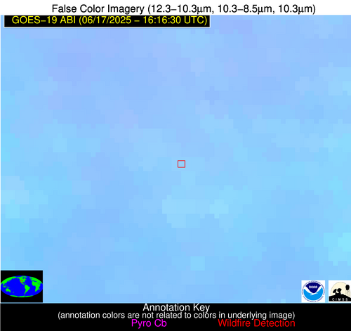
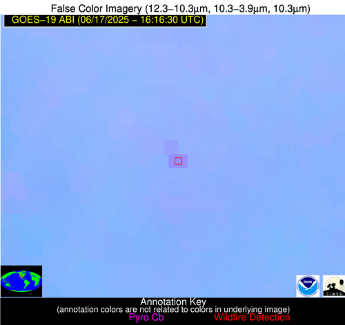
| Latest Satellite Imagery: | |
| View all event imagery » | |
Possible Wildfire
| Basic Information | |
|---|---|
| State/Province(s) | FL |
| Country/Countries | United States |
| County/Locality(s) | Highlands County, FL |
| NWS WFO | Tampa Bay Ruskin FL |
| Identification Method | Enhanced Contextual (Cloud) |
| Mean Object Date/Time | 2025-06-17 16:17:52UTC |
| Radiative Center (Lat, Lon): | 27.212223°, -81.403053° |
| Nearby Counties (meeting alert criteria): |
|
| Total Radiative Power Anomaly | n/a |
| Total Radiative Power | 124.86 MW |
| Map: | |
| Additional Information | |
| Alert Status | New Feature |
| Type of Event | Nominal Risk |
| Event Priority Ranking | 4 |
| Maximum Observed BT (3.9 um) | 326.90 K |
| Observed - Background BT (3.9 um) | 15.96 K |
| BT Anomaly (3.9 um) | 7.39 K |
| Maximum Observed - Clear RTM BT (3.9 um) | 23.37 K |
| Maximum Observed BTD (3.9-10/11/12 um) | 29.62 K |
| Observed - Background BTD (3.9-10/11/12 um) | 15.45 K |
| BTD Anomaly (3.9-10/11/12 um) | 8.30 K |
| Similar Pixel Count | 0 |
| BT Time Tendency (3.9 um) | 10.00 K |
| Image Interval | 5.00 minutes |
| Fraction of Surrounding LWIR Pixels that are Colder | 0.80 |
| Fraction of Surrounding Red Channel Pixels that are Brighter | 0.43 |
| Maximum Radiative Power | 71.05 MW |
| Maximum Radiative Power Uncertainty | 0.00 MW |
| Total Radiative Power Uncertainty | 0.00 MW |
| Mean Viewing Angle | 32.70° |
| Mean Solar Zenith Angle | 16.20° |
| Mean Glint Angle | 41.50° |
| Water Fraction | 0.00 |
| Total Pixel Area | 9.50 km2 |
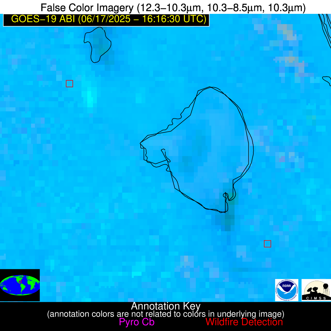
| Latest Satellite Imagery: | |
| View all event imagery » | |
Possible Wildfire
| Basic Information | |
|---|---|
| State/Province(s) | FL |
| Country/Countries | United States |
| County/Locality(s) | Palm Beach County, FL |
| NWS WFO | Miami FL |
| Identification Method | Enhanced Contextual (Clear) |
| Mean Object Date/Time | 2025-06-17 16:17:52UTC |
| Radiative Center (Lat, Lon): | 26.555000°, -80.551392° |
| Nearby Counties (meeting alert criteria): |
|
| Total Radiative Power Anomaly | n/a |
| Total Radiative Power | 5.24 MW |
| Map: | |
| Additional Information | |
| Alert Status | New Feature |
| Type of Event | Nominal Risk |
| Event Priority Ranking | 4 |
| Maximum Observed BT (3.9 um) | 310.55 K |
| Observed - Background BT (3.9 um) | 3.36 K |
| BT Anomaly (3.9 um) | 2.61 K |
| Maximum Observed - Clear RTM BT (3.9 um) | 7.26 K |
| Maximum Observed BTD (3.9-10/11/12 um) | 15.24 K |
| Observed - Background BTD (3.9-10/11/12 um) | 2.29 K |
| BTD Anomaly (3.9-10/11/12 um) | 2.02 K |
| Similar Pixel Count | 25 |
| BT Time Tendency (3.9 um) | 3.40 K |
| Image Interval | 5.00 minutes |
| Fraction of Surrounding LWIR Pixels that are Colder | 0.94 |
| Fraction of Surrounding Red Channel Pixels that are Brighter | 0.81 |
| Maximum Radiative Power | 5.24 MW |
| Maximum Radiative Power Uncertainty | 0.00 MW |
| Total Radiative Power Uncertainty | 0.00 MW |
| Mean Viewing Angle | 31.70° |
| Mean Solar Zenith Angle | 15.30° |
| Mean Glint Angle | 39.40° |
| Water Fraction | 0.00 |
| Total Pixel Area | 4.70 km2 |
| Latest Satellite Imagery: | |
| View all event imagery » | |


