Wildfire Alert Report
| Date: | 2025-06-11 |
|---|---|
| Time: | 18:36:18 |
| Production Date and Time: | 2025-06-11 18:41:20 UTC |
| Primary Instrument: | GOES-19 ABI |
| Wmo Spacecraft Id: | 666 |
| Location/orbit: | GEO |
| L1 File: | OR_ABI-L1b-RadC-M6C14_G19_s20251621836181_e20251621838554_c20251621839041.nc |
| L1 File(s) - Temporal | OR_ABI-L1b-RadC-M6C14_G19_s20251621831181_e20251621833554_c20251621834011.nc |
| Number Of Thermal Anomaly Alerts: | 4 |
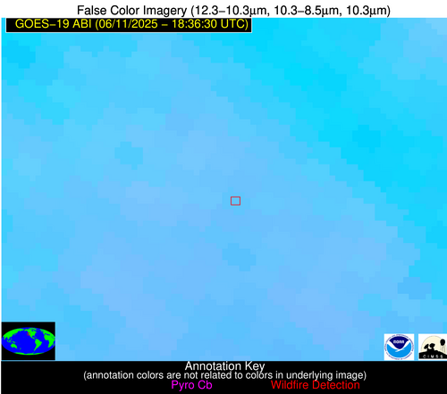
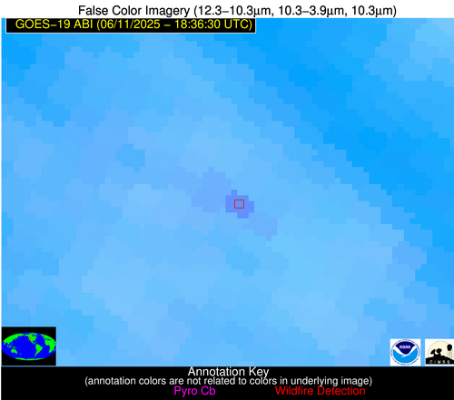
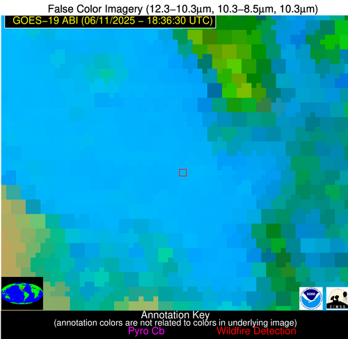
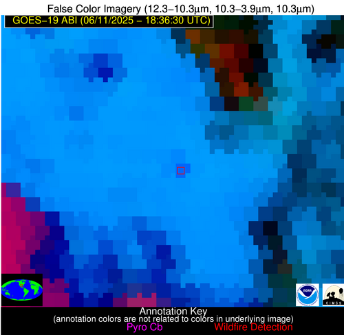
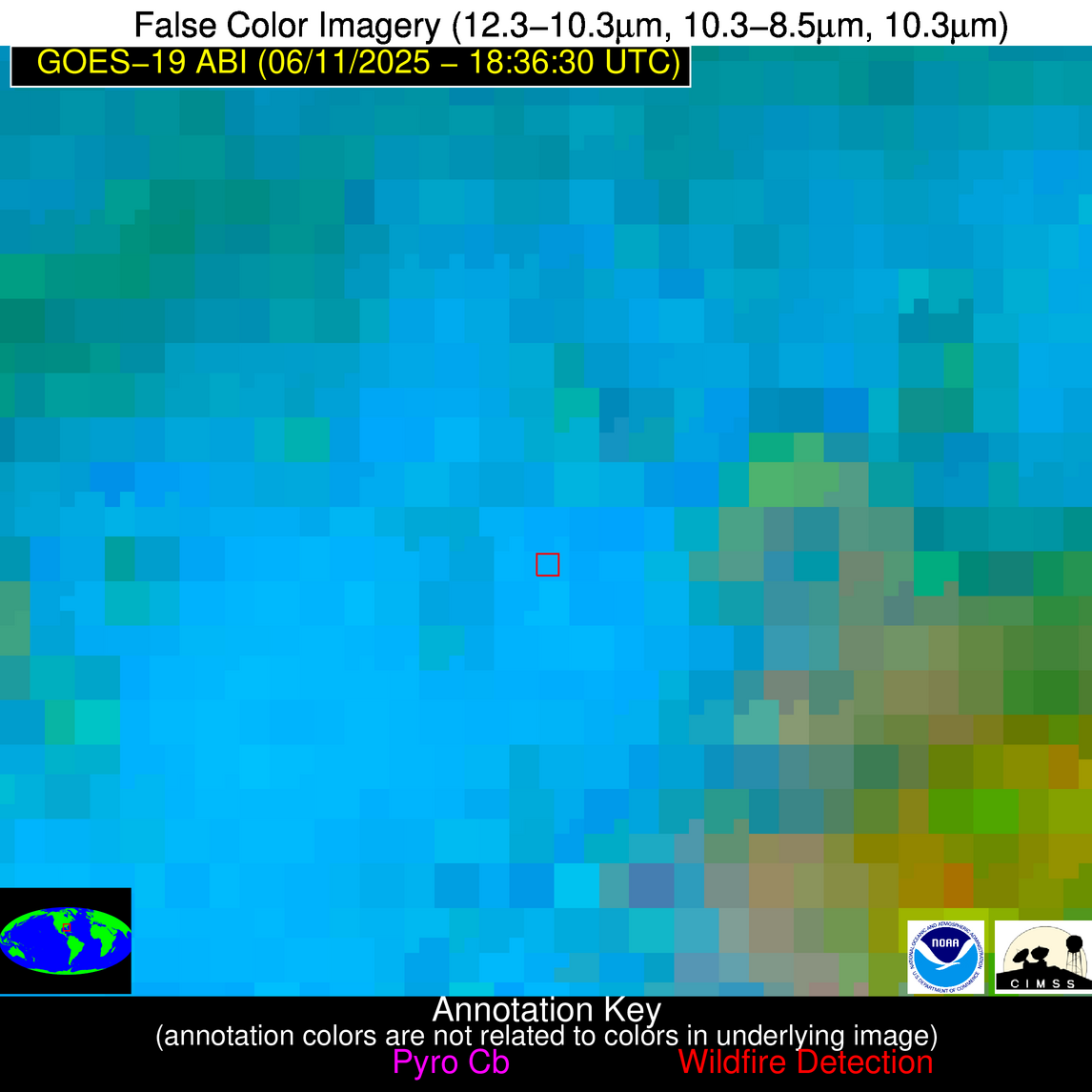
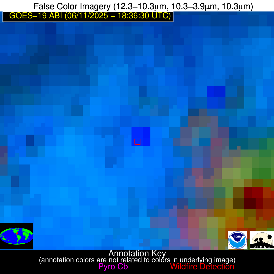
Possible Wildfire
| Basic Information | |
|---|---|
| State/Province(s) | CA |
| Country/Countries | United States |
| County/Locality(s) | Butte County, CA |
| NWS WFO | Sacramento CA |
| Identification Method | Enhanced Contextual (Clear) |
| Mean Object Date/Time | 2025-06-11 18:36:49UTC |
| Radiative Center (Lat, Lon): | 39.605835°, -121.921944° |
| Nearby Counties (meeting alert criteria): |
|
| Total Radiative Power Anomaly | n/a |
| Total Radiative Power | 39.99 MW |
| Map: | |
| Additional Information | |
| Alert Status | New Feature |
| Type of Event | Nominal Risk |
| Event Priority Ranking | 4 |
| Maximum Observed BT (3.9 um) | 306.54 K |
| Observed - Background BT (3.9 um) | 5.18 K |
| BT Anomaly (3.9 um) | 1.94 K |
| Maximum Observed - Clear RTM BT (3.9 um) | 2.05 K |
| Maximum Observed BTD (3.9-10/11/12 um) | 12.45 K |
| Observed - Background BTD (3.9-10/11/12 um) | 5.02 K |
| BTD Anomaly (3.9-10/11/12 um) | 3.42 K |
| Similar Pixel Count | 1 |
| BT Time Tendency (3.9 um) | 5.40 K |
| Image Interval | 5.00 minutes |
| Fraction of Surrounding LWIR Pixels that are Colder | 0.47 |
| Fraction of Surrounding Red Channel Pixels that are Brighter | 0.87 |
| Maximum Radiative Power | 39.99 MW |
| Maximum Radiative Power Uncertainty | 0.00 MW |
| Total Radiative Power Uncertainty | 0.00 MW |
| Mean Viewing Angle | 66.50° |
| Mean Solar Zenith Angle | 25.30° |
| Mean Glint Angle | 91.80° |
| Water Fraction | 0.00 |
| Total Pixel Area | 10.00 km2 |
| Latest Satellite Imagery: | |
| View all event imagery » | |
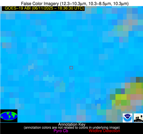
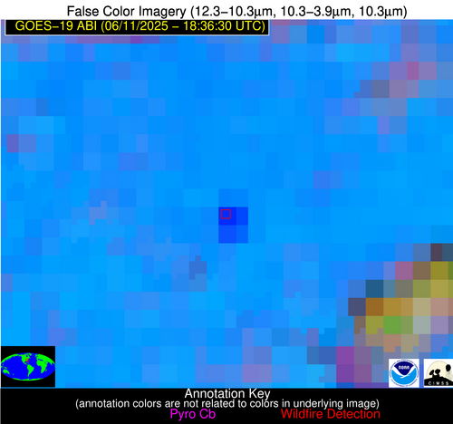
Possible Wildfire
| Basic Information | |
|---|---|
| State/Province(s) | NC |
| Country/Countries | United States |
| County/Locality(s) | Sampson County, NC |
| NWS WFO | Raleigh NC |
| Identification Method | Enhanced Contextual (Cloud) |
| Mean Object Date/Time | 2025-06-11 18:37:23UTC |
| Radiative Center (Lat, Lon): | 34.968613°, -78.473335° |
| Nearby Counties (meeting alert criteria): |
|
| Total Radiative Power Anomaly | n/a |
| Total Radiative Power | 117.30 MW |
| Map: | |
| Additional Information | |
| Alert Status | New Feature |
| Type of Event | Nominal Risk |
| Event Priority Ranking | 4 |
| Maximum Observed BT (3.9 um) | 318.97 K |
| Observed - Background BT (3.9 um) | 14.72 K |
| BT Anomaly (3.9 um) | 11.09 K |
| Maximum Observed - Clear RTM BT (3.9 um) | 20.37 K |
| Maximum Observed BTD (3.9-10/11/12 um) | 29.16 K |
| Observed - Background BTD (3.9-10/11/12 um) | 14.94 K |
| BTD Anomaly (3.9-10/11/12 um) | 16.77 K |
| Similar Pixel Count | 0 |
| BT Time Tendency (3.9 um) | 10.90 K |
| Image Interval | 5.00 minutes |
| Fraction of Surrounding LWIR Pixels that are Colder | 0.44 |
| Fraction of Surrounding Red Channel Pixels that are Brighter | 0.57 |
| Maximum Radiative Power | 68.62 MW |
| Maximum Radiative Power Uncertainty | 0.00 MW |
| Total Radiative Power Uncertainty | 0.00 MW |
| Mean Viewing Angle | 41.00° |
| Mean Solar Zenith Angle | 21.70° |
| Mean Glint Angle | 52.40° |
| Water Fraction | 0.00 |
| Total Pixel Area | 10.60 km2 |
| Latest Satellite Imagery: | |
| View all event imagery » | |
Possible Wildfire
| Basic Information | |
|---|---|
| State/Province(s) | TX |
| Country/Countries | United States |
| County/Locality(s) | Comanche County, TX |
| NWS WFO | Fort Worth TX |
| Identification Method | Enhanced Contextual (Clear) |
| Mean Object Date/Time | 2025-06-11 18:37:21UTC |
| Radiative Center (Lat, Lon): | 31.736111°, -98.624725° |
| Nearby Counties (meeting alert criteria): |
|
| Total Radiative Power Anomaly | n/a |
| Total Radiative Power | 26.96 MW |
| Map: | |
| Additional Information | |
| Alert Status | New Feature |
| Type of Event | Nominal Risk |
| Event Priority Ranking | 4 |
| Maximum Observed BT (3.9 um) | 308.91 K |
| Observed - Background BT (3.9 um) | 6.32 K |
| BT Anomaly (3.9 um) | 6.73 K |
| Maximum Observed - Clear RTM BT (3.9 um) | 11.70 K |
| Maximum Observed BTD (3.9-10/11/12 um) | 21.72 K |
| Observed - Background BTD (3.9-10/11/12 um) | 5.82 K |
| BTD Anomaly (3.9-10/11/12 um) | 6.58 K |
| Similar Pixel Count | 24 |
| BT Time Tendency (3.9 um) | 1.80 K |
| Image Interval | 5.00 minutes |
| Fraction of Surrounding LWIR Pixels that are Colder | 0.84 |
| Fraction of Surrounding Red Channel Pixels that are Brighter | 1.00 |
| Maximum Radiative Power | 26.96 MW |
| Maximum Radiative Power Uncertainty | 0.00 MW |
| Total Radiative Power Uncertainty | 0.00 MW |
| Mean Viewing Angle | 45.00° |
| Mean Solar Zenith Angle | 8.70° |
| Mean Glint Angle | 51.60° |
| Water Fraction | 0.00 |
| Total Pixel Area | 5.70 km2 |
| Latest Satellite Imagery: | |
| View all event imagery » | |
Possible Wildfire
| Basic Information | |
|---|---|
| State/Province(s) | FL |
| Country/Countries | United States |
| County/Locality(s) | Alachua County, FL |
| NWS WFO | Jacksonville FL |
| Identification Method | Enhanced Contextual (Cloud) |
| Mean Object Date/Time | 2025-06-11 18:37:53UTC |
| Radiative Center (Lat, Lon): | 29.655834°, -82.073608° |
| Nearby Counties (meeting alert criteria): |
|
| Total Radiative Power Anomaly | n/a |
| Total Radiative Power | 312.44 MW |
| Map: | |
| Additional Information | |
| Alert Status | New Feature |
| Type of Event | Solar panel (database + spectral) |
| Event Priority Ranking | 5 |
| Maximum Observed BT (3.9 um) | 322.02 K |
| Observed - Background BT (3.9 um) | 15.72 K |
| BT Anomaly (3.9 um) | 20.04 K |
| Maximum Observed - Clear RTM BT (3.9 um) | 15.85 K |
| Maximum Observed BTD (3.9-10/11/12 um) | 33.94 K |
| Observed - Background BTD (3.9-10/11/12 um) | 15.11 K |
| BTD Anomaly (3.9-10/11/12 um) | 14.89 K |
| Similar Pixel Count | 0 |
| BT Time Tendency (3.9 um) | 7.00 K |
| Image Interval | 5.00 minutes |
| Fraction of Surrounding LWIR Pixels that are Colder | 0.99 |
| Fraction of Surrounding Red Channel Pixels that are Brighter | 0.00 |
| Maximum Radiative Power | 94.42 MW |
| Maximum Radiative Power Uncertainty | 0.00 MW |
| Total Radiative Power Uncertainty | 0.00 MW |
| Mean Viewing Angle | 35.60° |
| Mean Solar Zenith Angle | 16.80° |
| Mean Glint Angle | 40.30° |
| Water Fraction | 0.00 |
| Total Pixel Area | 19.70 km2 |
| Latest Satellite Imagery: | |
| View all event imagery » | |
