Wildfire Alert Report
| Date: | 2025-06-11 |
|---|---|
| Time: | 17:56:18 |
| Production Date and Time: | 2025-06-11 18:01:25 UTC |
| Primary Instrument: | GOES-19 ABI |
| Wmo Spacecraft Id: | 666 |
| Location/orbit: | GEO |
| L1 File: | OR_ABI-L1b-RadC-M6C14_G19_s20251621756181_e20251621758554_c20251621759053.nc |
| L1 File(s) - Temporal | OR_ABI-L1b-RadC-M6C14_G19_s20251621751181_e20251621753554_c20251621754040.nc |
| Number Of Thermal Anomaly Alerts: | 2 |
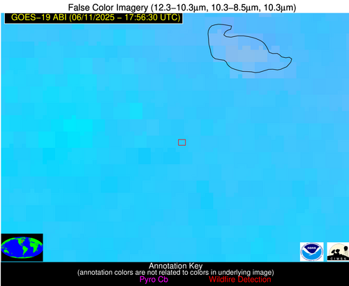
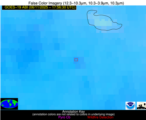
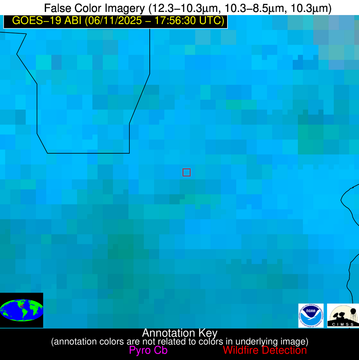
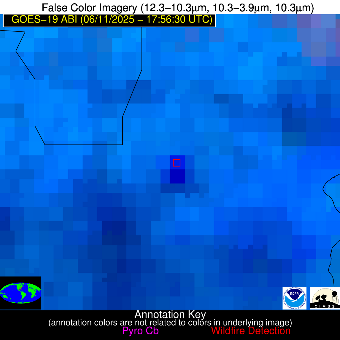
Possible Wildfire
| Basic Information | |
|---|---|
| State/Province(s) | MI |
| Country/Countries | United States |
| County/Locality(s) | Missaukee County, MI |
| NWS WFO | Gaylord MI |
| Identification Method | Enhanced Contextual (Clear) |
| Mean Object Date/Time | 2025-06-11 17:56:22UTC |
| Radiative Center (Lat, Lon): | 44.162777°, -84.855835° |
| Nearby Counties (meeting alert criteria): |
|
| Total Radiative Power Anomaly | n/a |
| Total Radiative Power | 12.71 MW |
| Map: | |
| Additional Information | |
| Alert Status | New Feature |
| Type of Event | Nominal Risk |
| Event Priority Ranking | 4 |
| Maximum Observed BT (3.9 um) | 305.02 K |
| Observed - Background BT (3.9 um) | 3.87 K |
| BT Anomaly (3.9 um) | 2.45 K |
| Maximum Observed - Clear RTM BT (3.9 um) | 10.07 K |
| Maximum Observed BTD (3.9-10/11/12 um) | 11.53 K |
| Observed - Background BTD (3.9-10/11/12 um) | 3.54 K |
| BTD Anomaly (3.9-10/11/12 um) | 3.17 K |
| Similar Pixel Count | 14 |
| BT Time Tendency (3.9 um) | 2.10 K |
| Image Interval | 5.00 minutes |
| Fraction of Surrounding LWIR Pixels that are Colder | 0.78 |
| Fraction of Surrounding Red Channel Pixels that are Brighter | 1.00 |
| Maximum Radiative Power | 12.71 MW |
| Maximum Radiative Power Uncertainty | 0.00 MW |
| Total Radiative Power Uncertainty | 0.00 MW |
| Mean Viewing Angle | 52.10° |
| Mean Solar Zenith Angle | 21.40° |
| Mean Glint Angle | 71.90° |
| Water Fraction | 0.00 |
| Total Pixel Area | 6.50 km2 |
| Latest Satellite Imagery: | |
| View all event imagery » | |
Possible Wildfire
| Basic Information | |
|---|---|
| State/Province(s) | FL |
| Country/Countries | United States |
| County/Locality(s) | Duval County, FL |
| NWS WFO | Jacksonville FL |
| Identification Method | Enhanced Contextual (Cloud) |
| Mean Object Date/Time | 2025-06-11 17:57:23UTC |
| Radiative Center (Lat, Lon): | 30.334999°, -81.957222° |
| Nearby Counties (meeting alert criteria): |
|
| Total Radiative Power Anomaly | n/a |
| Total Radiative Power | 150.43 MW |
| Map: | |
| Additional Information | |
| Alert Status | New Feature |
| Type of Event | Likely a Solar Farm |
| Event Priority Ranking | 4 |
| Maximum Observed BT (3.9 um) | 314.87 K |
| Observed - Background BT (3.9 um) | 11.01 K |
| BT Anomaly (3.9 um) | 7.09 K |
| Maximum Observed - Clear RTM BT (3.9 um) | 7.31 K |
| Maximum Observed BTD (3.9-10/11/12 um) | 33.97 K |
| Observed - Background BTD (3.9-10/11/12 um) | 11.30 K |
| BTD Anomaly (3.9-10/11/12 um) | 6.78 K |
| Similar Pixel Count | 0 |
| BT Time Tendency (3.9 um) | 9.20 K |
| Image Interval | 5.00 minutes |
| Fraction of Surrounding LWIR Pixels that are Colder | 0.56 |
| Fraction of Surrounding Red Channel Pixels that are Brighter | 0.00 |
| Maximum Radiative Power | 90.11 MW |
| Maximum Radiative Power Uncertainty | 0.00 MW |
| Total Radiative Power Uncertainty | 0.00 MW |
| Mean Viewing Angle | 36.30° |
| Mean Solar Zenith Angle | 9.80° |
| Mean Glint Angle | 42.30° |
| Water Fraction | 0.00 |
| Total Pixel Area | 9.90 km2 |
| Latest Satellite Imagery: | |
| View all event imagery » | |


