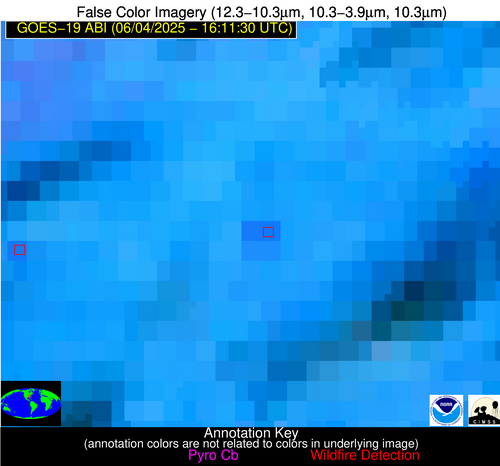
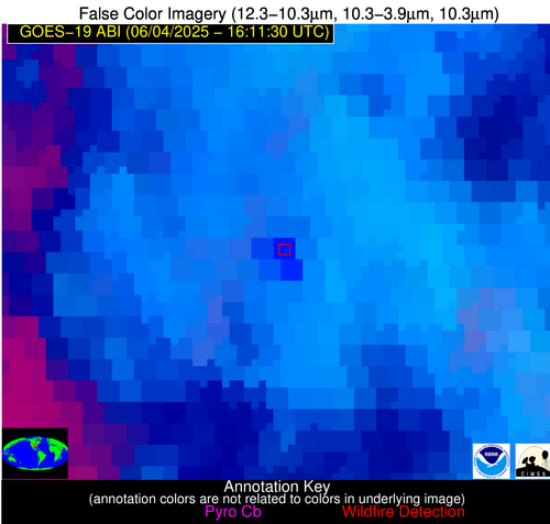
Wildfire Alert Report
| Date: | 2025-06-04 |
|---|---|
| Time: | 16:11:17 |
| Production Date and Time: | 2025-06-04 16:16:14 UTC |
| Primary Instrument: | GOES-19 ABI |
| Wmo Spacecraft Id: | 666 |
| Location/orbit: | GEO |
| L1 File: | OR_ABI-L1b-RadC-M6C14_G19_s20251551611174_e20251551613547_c20251551614040.nc |
| L1 File(s) - Temporal | OR_ABI-L1b-RadC-M6C14_G19_s20251551606174_e20251551608547_c20251551609043.nc |
| Number Of Thermal Anomaly Alerts: | 5 |
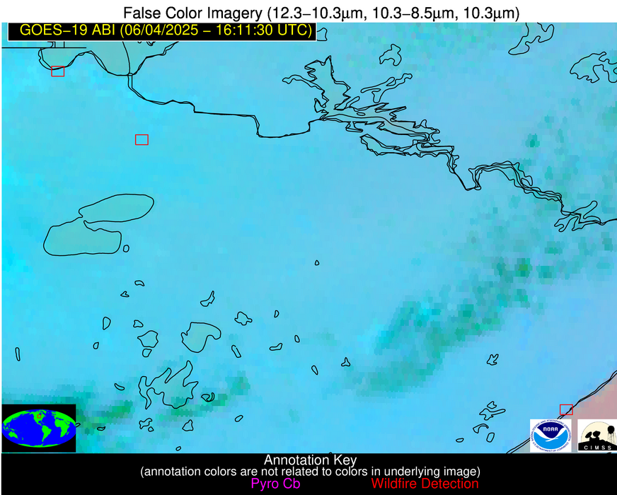
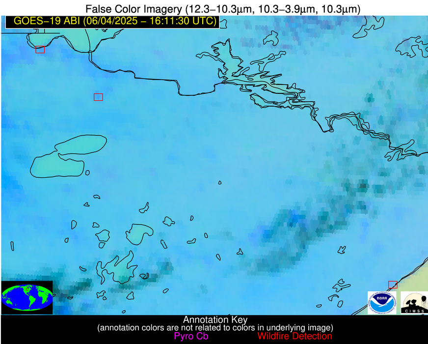
Possible Wildfire
| Basic Information | |
|---|---|
| State/Province(s) | MN |
| Country/Countries | United States |
| County/Locality(s) | Roseau County, MN |
| NWS WFO | Grand Forks ND |
| Identification Method | Enhanced Contextual (Clear) |
| Mean Object Date/Time | 2025-06-04 16:11:21UTC |
| Radiative Center (Lat, Lon): | 48.872776°, -95.197777° |
| Nearby Counties (meeting alert criteria): |
|
| Total Radiative Power Anomaly | n/a |
| Total Radiative Power | 8.87 MW |
| Map: | |
| Additional Information | |
| Alert Status | New Feature |
| Type of Event | Nominal Risk |
| Event Priority Ranking | 4 |
| Maximum Observed BT (3.9 um) | 298.99 K |
| Observed - Background BT (3.9 um) | 3.73 K |
| BT Anomaly (3.9 um) | 1.37 K |
| Maximum Observed - Clear RTM BT (3.9 um) | 12.56 K |
| Maximum Observed BTD (3.9-10/11/12 um) | 10.25 K |
| Observed - Background BTD (3.9-10/11/12 um) | 2.79 K |
| BTD Anomaly (3.9-10/11/12 um) | 1.93 K |
| Similar Pixel Count | 13 |
| BT Time Tendency (3.9 um) | 0.70 K |
| Image Interval | 5.00 minutes |
| Fraction of Surrounding LWIR Pixels that are Colder | 0.87 |
| Fraction of Surrounding Red Channel Pixels that are Brighter | 0.91 |
| Maximum Radiative Power | 8.87 MW |
| Maximum Radiative Power Uncertainty | 0.00 MW |
| Total Radiative Power Uncertainty | 0.00 MW |
| Mean Viewing Angle | 59.60° |
| Mean Solar Zenith Angle | 36.60° |
| Mean Glint Angle | 92.40° |
| Water Fraction | 0.00 |
| Total Pixel Area | 7.90 km2 |
| Latest Satellite Imagery: | |
| View all event imagery » | |
Possible Wildfire
| Basic Information | |
|---|---|
| State/Province(s) | MN |
| Country/Countries | United States |
| County/Locality(s) | Lake County, MN |
| NWS WFO | Duluth MN |
| Identification Method | Enhanced Contextual (Clear) |
| Mean Object Date/Time | 2025-06-04 16:11:21UTC |
| Radiative Center (Lat, Lon): | 47.042221°, -91.668610° |
| Nearby Counties (meeting alert criteria): |
|
| Total Radiative Power Anomaly | n/a |
| Total Radiative Power | 4.61 MW |
| Map: | |
| Additional Information | |
| Alert Status | New Feature |
| Type of Event | Nominal Risk |
| Event Priority Ranking | 4 |
| Maximum Observed BT (3.9 um) | 296.51 K |
| Observed - Background BT (3.9 um) | 2.92 K |
| BT Anomaly (3.9 um) | 5.15 K |
| Maximum Observed - Clear RTM BT (3.9 um) | 8.00 K |
| Maximum Observed BTD (3.9-10/11/12 um) | 6.77 K |
| Observed - Background BTD (3.9-10/11/12 um) | 1.41 K |
| BTD Anomaly (3.9-10/11/12 um) | 4.46 K |
| Similar Pixel Count | 16 |
| BT Time Tendency (3.9 um) | 0.60 K |
| Image Interval | 5.00 minutes |
| Fraction of Surrounding LWIR Pixels that are Colder | 0.94 |
| Fraction of Surrounding Red Channel Pixels that are Brighter | 1.00 |
| Maximum Radiative Power | 4.61 MW |
| Maximum Radiative Power Uncertainty | 0.00 MW |
| Total Radiative Power Uncertainty | 0.00 MW |
| Mean Viewing Angle | 56.70° |
| Mean Solar Zenith Angle | 33.60° |
| Mean Glint Angle | 86.60° |
| Water Fraction | 0.00 |
| Total Pixel Area | 7.30 km2 |
| Latest Satellite Imagery: | |
| View all event imagery » | |
Possible Wildfire
| Basic Information | |
|---|---|
| State/Province(s) | ME |
| Country/Countries | United States |
| County/Locality(s) | York County, ME |
| NWS WFO | Gray ME |
| Identification Method | Enhanced Contextual (Clear) |
| Mean Object Date/Time | 2025-06-04 16:11:23UTC |
| Radiative Center (Lat, Lon): | 43.685001°, -70.649445° |
| Nearby Counties (meeting alert criteria): |
|
| Total Radiative Power Anomaly | n/a |
| Total Radiative Power | 10.67 MW |
| Map: | |
| Additional Information | |
| Alert Status | New Feature |
| Type of Event | Nominal Risk |
| Event Priority Ranking | 4 |
| Maximum Observed BT (3.9 um) | 301.00 K |
| Observed - Background BT (3.9 um) | 3.24 K |
| BT Anomaly (3.9 um) | 2.84 K |
| Maximum Observed - Clear RTM BT (3.9 um) | 5.05 K |
| Maximum Observed BTD (3.9-10/11/12 um) | 14.23 K |
| Observed - Background BTD (3.9-10/11/12 um) | 3.86 K |
| BTD Anomaly (3.9-10/11/12 um) | 2.88 K |
| Similar Pixel Count | 18 |
| BT Time Tendency (3.9 um) | 1.80 K |
| Image Interval | 5.00 minutes |
| Fraction of Surrounding LWIR Pixels that are Colder | 0.29 |
| Fraction of Surrounding Red Channel Pixels that are Brighter | 1.00 |
| Maximum Radiative Power | 10.67 MW |
| Maximum Radiative Power Uncertainty | 0.00 MW |
| Total Radiative Power Uncertainty | 0.00 MW |
| Mean Viewing Angle | 50.80° |
| Mean Solar Zenith Angle | 22.20° |
| Mean Glint Angle | 71.40° |
| Water Fraction | 0.00 |
| Total Pixel Area | 6.30 km2 |
| Latest Satellite Imagery: | |
| View all event imagery » | |
Possible Wildfire
| Basic Information | |
|---|---|
| State/Province(s) | NC |
| Country/Countries | United States |
| County/Locality(s) | Hoke County, NC |
| NWS WFO | Raleigh NC |
| Identification Method | Enhanced Contextual (Clear) |
| Mean Object Date/Time | 2025-06-04 16:12:22UTC |
| Radiative Center (Lat, Lon): | 35.072777°, -79.278893° |
| Nearby Counties (meeting alert criteria): |
|
| Total Radiative Power Anomaly | n/a |
| Total Radiative Power | 35.95 MW |
| Map: | |
| Additional Information | |
| Alert Status | New Feature |
| Type of Event | Nominal Risk |
| Event Priority Ranking | 4 |
| Maximum Observed BT (3.9 um) | 308.42 K |
| Observed - Background BT (3.9 um) | 6.03 K |
| BT Anomaly (3.9 um) | 4.37 K |
| Maximum Observed - Clear RTM BT (3.9 um) | 11.30 K |
| Maximum Observed BTD (3.9-10/11/12 um) | 17.67 K |
| Observed - Background BTD (3.9-10/11/12 um) | 5.89 K |
| BTD Anomaly (3.9-10/11/12 um) | 5.30 K |
| Similar Pixel Count | 15 |
| BT Time Tendency (3.9 um) | 4.30 K |
| Image Interval | 5.00 minutes |
| Fraction of Surrounding LWIR Pixels that are Colder | 0.60 |
| Fraction of Surrounding Red Channel Pixels that are Brighter | 0.31 |
| Maximum Radiative Power | 20.45 MW |
| Maximum Radiative Power Uncertainty | 0.00 MW |
| Total Radiative Power Uncertainty | 0.00 MW |
| Mean Viewing Angle | 41.20° |
| Mean Solar Zenith Angle | 18.80° |
| Mean Glint Angle | 55.80° |
| Water Fraction | 0.00 |
| Total Pixel Area | 10.60 km2 |
| Latest Satellite Imagery: | |
| View all event imagery » | |
Possible Wildfire
| Basic Information | |
|---|---|
| State/Province(s) | AR |
| Country/Countries | United States |
| County/Locality(s) | Arkansas County, AR |
| NWS WFO | Little Rock AR |
| Identification Method | Enhanced Contextual (Cloud) |
| Mean Object Date/Time | 2025-06-04 16:12:21UTC |
| Radiative Center (Lat, Lon): | 34.513054°, -91.388885° |
| Nearby Counties (meeting alert criteria): |
|
| Total Radiative Power Anomaly | n/a |
| Total Radiative Power | 137.78 MW |
| Map: | |
| Additional Information | |
| Alert Status | New Feature |
| Type of Event | Nominal Risk |
| Event Priority Ranking | 4 |
| Maximum Observed BT (3.9 um) | 319.44 K |
| Observed - Background BT (3.9 um) | 15.24 K |
| BT Anomaly (3.9 um) | 10.42 K |
| Maximum Observed - Clear RTM BT (3.9 um) | 22.82 K |
| Maximum Observed BTD (3.9-10/11/12 um) | 34.07 K |
| Observed - Background BTD (3.9-10/11/12 um) | 15.83 K |
| BTD Anomaly (3.9-10/11/12 um) | 8.47 K |
| Similar Pixel Count | 0 |
| BT Time Tendency (3.9 um) | 12.40 K |
| Image Interval | 5.00 minutes |
| Fraction of Surrounding LWIR Pixels that are Colder | 0.41 |
| Fraction of Surrounding Red Channel Pixels that are Brighter | 0.76 |
| Maximum Radiative Power | 78.24 MW |
| Maximum Radiative Power Uncertainty | 0.00 MW |
| Total Radiative Power Uncertainty | 0.00 MW |
| Mean Viewing Angle | 43.90° |
| Mean Solar Zenith Angle | 27.30° |
| Mean Glint Angle | 65.70° |
| Water Fraction | 0.00 |
| Total Pixel Area | 11.10 km2 |
| Latest Satellite Imagery: | |
| View all event imagery » | |
