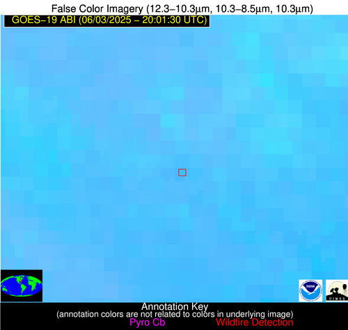
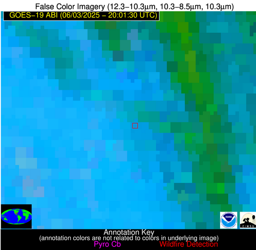
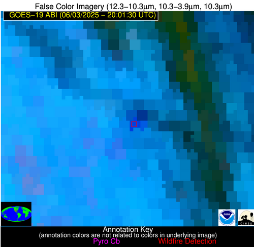
Wildfire Alert Report
| Date: | 2025-06-03 |
|---|---|
| Time: | 20:01:17 |
| Production Date and Time: | 2025-06-03 20:06:23 UTC |
| Primary Instrument: | GOES-19 ABI |
| Wmo Spacecraft Id: | 666 |
| Location/orbit: | GEO |
| L1 File: | OR_ABI-L1b-RadC-M6C14_G19_s20251542001173_e20251542003547_c20251542004039.nc |
| L1 File(s) - Temporal | OR_ABI-L1b-RadC-M6C14_G19_s20251541956173_e20251541958546_c20251541959024.nc |
| Number Of Thermal Anomaly Alerts: | 2 |
Possible Wildfire
| Basic Information | |
|---|---|
| State/Province(s) | NC |
| Country/Countries | United States |
| County/Locality(s) | Cumberland County, NC |
| NWS WFO | Raleigh NC |
| Identification Method | Enhanced Contextual (Cloud) |
| Mean Object Date/Time | 2025-06-03 20:02:22UTC |
| Radiative Center (Lat, Lon): | 34.994720°, -78.680275° |
| Nearby Counties (meeting alert criteria): |
|
| Total Radiative Power Anomaly | n/a |
| Total Radiative Power | 140.27 MW |
| Map: | |
| Additional Information | |
| Alert Status | New Feature |
| Type of Event | Nominal Risk |
| Event Priority Ranking | 4 |
| Maximum Observed BT (3.9 um) | 326.17 K |
| Observed - Background BT (3.9 um) | 23.47 K |
| BT Anomaly (3.9 um) | 19.51 K |
| Maximum Observed - Clear RTM BT (3.9 um) | 27.75 K |
| Maximum Observed BTD (3.9-10/11/12 um) | 29.41 K |
| Observed - Background BTD (3.9-10/11/12 um) | 23.09 K |
| BTD Anomaly (3.9-10/11/12 um) | 33.82 K |
| Similar Pixel Count | 0 |
| BT Time Tendency (3.9 um) | 22.70 K |
| Image Interval | 5.00 minutes |
| Fraction of Surrounding LWIR Pixels that are Colder | 0.63 |
| Fraction of Surrounding Red Channel Pixels that are Brighter | 1.00 |
| Maximum Radiative Power | 140.27 MW |
| Maximum Radiative Power Uncertainty | 0.00 MW |
| Total Radiative Power Uncertainty | 0.00 MW |
| Mean Viewing Angle | 41.00° |
| Mean Solar Zenith Angle | 38.90° |
| Mean Glint Angle | 54.80° |
| Water Fraction | 0.00 |
| Total Pixel Area | 10.60 km2 |
| Latest Satellite Imagery: | |
| View all event imagery » | |
Possible Wildfire
| Basic Information | |
|---|---|
| State/Province(s) | LA |
| Country/Countries | United States |
| County/Locality(s) | Sabine Parish, LA |
| NWS WFO | Shreveport LA |
| Identification Method | Enhanced Contextual (Cloud) |
| Mean Object Date/Time | 2025-06-03 20:02:20UTC |
| Radiative Center (Lat, Lon): | 31.510000°, -93.241669° |
| Nearby Counties (meeting alert criteria): |
|
| Total Radiative Power Anomaly | n/a |
| Total Radiative Power | 53.32 MW |
| Map: | |
| Additional Information | |
| Alert Status | New Feature |
| Type of Event | Nominal Risk |
| Event Priority Ranking | 4 |
| Maximum Observed BT (3.9 um) | 308.11 K |
| Observed - Background BT (3.9 um) | 10.80 K |
| BT Anomaly (3.9 um) | 8.16 K |
| Maximum Observed - Clear RTM BT (3.9 um) | 7.20 K |
| Maximum Observed BTD (3.9-10/11/12 um) | 27.11 K |
| Observed - Background BTD (3.9-10/11/12 um) | 11.00 K |
| BTD Anomaly (3.9-10/11/12 um) | 9.98 K |
| Similar Pixel Count | 0 |
| BT Time Tendency (3.9 um) | 5.00 K |
| Image Interval | 5.00 minutes |
| Fraction of Surrounding LWIR Pixels that are Colder | 0.52 |
| Fraction of Surrounding Red Channel Pixels that are Brighter | 0.86 |
| Maximum Radiative Power | 53.32 MW |
| Maximum Radiative Power Uncertainty | 0.00 MW |
| Total Radiative Power Uncertainty | 0.00 MW |
| Mean Viewing Angle | 41.80° |
| Mean Solar Zenith Angle | 26.30° |
| Mean Glint Angle | 40.50° |
| Water Fraction | 0.00 |
| Total Pixel Area | 5.40 km2 |
| Latest Satellite Imagery: | |
| View all event imagery » | |


