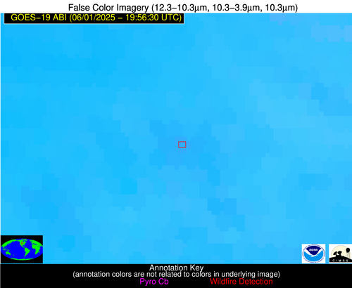
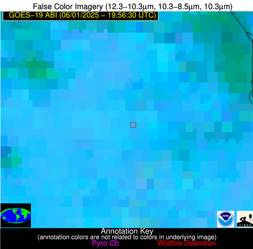
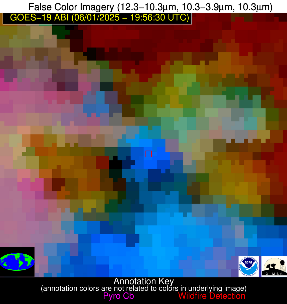
Wildfire Alert Report
| Date: | 2025-06-01 |
|---|---|
| Time: | 19:56:17 |
| Production Date and Time: | 2025-06-01 20:01:17 UTC |
| Primary Instrument: | GOES-19 ABI |
| Wmo Spacecraft Id: | 666 |
| Location/orbit: | GEO |
| L1 File: | OR_ABI-L1b-RadC-M6C14_G19_s20251521956171_e20251521958545_c20251521959040.nc |
| L1 File(s) - Temporal | OR_ABI-L1b-RadC-M6C14_G19_s20251521951171_e20251521953545_c20251521954034.nc |
| Number Of Thermal Anomaly Alerts: | 5 |
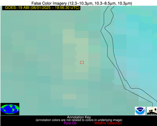
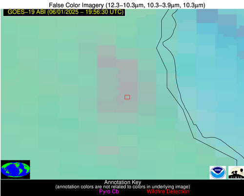
Possible Wildfire
| Basic Information | |
|---|---|
| State/Province(s) | Unknown |
| Country/Countries | Unknown |
| County/Locality(s) | Unknown, Unknown |
| NWS WFO | N/A |
| Identification Method | Enhanced Contextual (Clear) |
| Mean Object Date/Time | 2025-06-01 19:56:18UTC |
| Radiative Center (Lat, Lon): | 48.004166°, -124.823334° |
| Nearby Counties (meeting alert criteria): |
|
| Total Radiative Power Anomaly | n/a |
| Total Radiative Power | 6.08 MW |
| Map: | |
| Additional Information | |
| Alert Status | New Feature |
| Type of Event | Nominal Risk |
| Event Priority Ranking | 4 |
| Maximum Observed BT (3.9 um) | 283.78 K |
| Observed - Background BT (3.9 um) | 4.71 K |
| BT Anomaly (3.9 um) | 4.00 K |
| Maximum Observed - Clear RTM BT (3.9 um) | 3.61 K |
| Maximum Observed BTD (3.9-10/11/12 um) | 6.70 K |
| Observed - Background BTD (3.9-10/11/12 um) | 3.66 K |
| BTD Anomaly (3.9-10/11/12 um) | 6.23 K |
| Similar Pixel Count | 11 |
| BT Time Tendency (3.9 um) | 1.50 K |
| Image Interval | 5.00 minutes |
| Fraction of Surrounding LWIR Pixels that are Colder | 0.62 |
| Fraction of Surrounding Red Channel Pixels that are Brighter | 1.00 |
| Maximum Radiative Power | 6.08 MW |
| Maximum Radiative Power Uncertainty | 0.00 MW |
| Total Radiative Power Uncertainty | 0.00 MW |
| Mean Viewing Angle | 73.20° |
| Mean Solar Zenith Angle | 26.40° |
| Mean Glint Angle | 91.80° |
| Water Fraction | 1.00 |
| Total Pixel Area | 13.80 km2 |
| Latest Satellite Imagery: | |
| View all event imagery » | |
Possible Wildfire
| Basic Information | |
|---|---|
| State/Province(s) | MN |
| Country/Countries | United States |
| County/Locality(s) | Redwood County, MN |
| NWS WFO | Twin Cities/Chanhassen MN |
| Identification Method | Enhanced Contextual (Cloud) |
| Mean Object Date/Time | 2025-06-01 19:56:20UTC |
| Radiative Center (Lat, Lon): | 44.413334°, -94.913612° |
| Nearby Counties (meeting alert criteria): |
|
| Total Radiative Power Anomaly | n/a |
| Total Radiative Power | 56.31 MW |
| Map: | |
| Additional Information | |
| Alert Status | New Feature |
| Type of Event | Likely a Solar Farm |
| Event Priority Ranking | 4 |
| Maximum Observed BT (3.9 um) | 322.77 K |
| Observed - Background BT (3.9 um) | 8.45 K |
| BT Anomaly (3.9 um) | 6.27 K |
| Maximum Observed - Clear RTM BT (3.9 um) | 23.54 K |
| Maximum Observed BTD (3.9-10/11/12 um) | 24.33 K |
| Observed - Background BTD (3.9-10/11/12 um) | 8.10 K |
| BTD Anomaly (3.9-10/11/12 um) | 9.07 K |
| Similar Pixel Count | 0 |
| BT Time Tendency (3.9 um) | 2.90 K |
| Image Interval | 5.00 minutes |
| Fraction of Surrounding LWIR Pixels that are Colder | 0.71 |
| Fraction of Surrounding Red Channel Pixels that are Brighter | 0.06 |
| Maximum Radiative Power | 56.31 MW |
| Maximum Radiative Power Uncertainty | 0.00 MW |
| Total Radiative Power Uncertainty | 0.00 MW |
| Mean Viewing Angle | 55.10° |
| Mean Solar Zenith Angle | 30.40° |
| Mean Glint Angle | 66.20° |
| Water Fraction | 0.00 |
| Total Pixel Area | 7.00 km2 |
| Latest Satellite Imagery: | |
| View all event imagery » | |
Possible Wildfire
| Basic Information | |
|---|---|
| State/Province(s) | SD |
| Country/Countries | United States |
| County/Locality(s) | Jones County, SD |
| NWS WFO | Aberdeen SD |
| Identification Method | Enhanced Contextual (Clear) |
| Mean Object Date/Time | 2025-06-01 19:56:20UTC |
| Radiative Center (Lat, Lon): | 44.090279°, -100.551109° |
| Nearby Counties (meeting alert criteria): |
|
| Total Radiative Power Anomaly | n/a |
| Total Radiative Power | 12.17 MW |
| Map: | |
| Additional Information | |
| Alert Status | New Feature |
| Type of Event | Nominal Risk |
| Event Priority Ranking | 4 |
| Maximum Observed BT (3.9 um) | 308.55 K |
| Observed - Background BT (3.9 um) | 2.87 K |
| BT Anomaly (3.9 um) | 2.09 K |
| Maximum Observed - Clear RTM BT (3.9 um) | 11.63 K |
| Maximum Observed BTD (3.9-10/11/12 um) | 9.74 K |
| Observed - Background BTD (3.9-10/11/12 um) | 2.20 K |
| BTD Anomaly (3.9-10/11/12 um) | 3.17 K |
| Similar Pixel Count | 25 |
| BT Time Tendency (3.9 um) | 0.70 K |
| Image Interval | 5.00 minutes |
| Fraction of Surrounding LWIR Pixels that are Colder | 0.80 |
| Fraction of Surrounding Red Channel Pixels that are Brighter | 0.90 |
| Maximum Radiative Power | 12.17 MW |
| Maximum Radiative Power Uncertainty | 0.00 MW |
| Total Radiative Power Uncertainty | 0.00 MW |
| Mean Viewing Angle | 57.10° |
| Mean Solar Zenith Angle | 27.20° |
| Mean Glint Angle | 67.00° |
| Water Fraction | 0.00 |
| Total Pixel Area | 7.40 km2 |
| Latest Satellite Imagery: | |
| View all event imagery » | |
Possible Wildfire
| Basic Information | |
|---|---|
| State/Province(s) | FL |
| Country/Countries | United States |
| County/Locality(s) | Jackson County, FL |
| NWS WFO | Tallahassee FL |
| Identification Method | Enhanced Contextual (Clear) |
| Mean Object Date/Time | 2025-06-01 19:57:21UTC |
| Radiative Center (Lat, Lon): | 30.700556°, -85.228058° |
| Nearby Counties (meeting alert criteria): |
|
| Total Radiative Power Anomaly | n/a |
| Total Radiative Power | 22.60 MW |
| Map: | |
| Additional Information | |
| Alert Status | New Feature |
| Type of Event | Nominal Risk |
| Event Priority Ranking | 4 |
| Maximum Observed BT (3.9 um) | 309.93 K |
| Observed - Background BT (3.9 um) | 6.39 K |
| BT Anomaly (3.9 um) | 4.09 K |
| Maximum Observed - Clear RTM BT (3.9 um) | 8.81 K |
| Maximum Observed BTD (3.9-10/11/12 um) | 15.72 K |
| Observed - Background BTD (3.9-10/11/12 um) | 6.32 K |
| BTD Anomaly (3.9-10/11/12 um) | 3.84 K |
| Similar Pixel Count | 17 |
| BT Time Tendency (3.9 um) | 7.00 K |
| Image Interval | 5.00 minutes |
| Fraction of Surrounding LWIR Pixels that are Colder | 0.73 |
| Fraction of Surrounding Red Channel Pixels that are Brighter | 1.00 |
| Maximum Radiative Power | 22.60 MW |
| Maximum Radiative Power Uncertainty | 0.00 MW |
| Total Radiative Power Uncertainty | 0.00 MW |
| Mean Viewing Angle | 37.60° |
| Mean Solar Zenith Angle | 32.00° |
| Mean Glint Angle | 42.50° |
| Water Fraction | 0.00 |
| Total Pixel Area | 5.00 km2 |
| Latest Satellite Imagery: | |
| View all event imagery » | |
Possible Wildfire
| Basic Information | |
|---|---|
| State/Province(s) | Tamaulipas |
| Country/Countries | Mexico |
| County/Locality(s) | Tula, Tamaulipas |
| NWS WFO | N/A |
| Identification Method | Enhanced Contextual (Cloud) |
| Mean Object Date/Time | 2025-06-01 19:58:19UTC |
| Radiative Center (Lat, Lon): | 23.125834°, -99.670555° |
| Nearby Counties (meeting alert criteria): |
|
| Total Radiative Power Anomaly | n/a |
| Total Radiative Power | 61.52 MW |
| Map: | |
| Additional Information | |
| Alert Status | New Feature |
| Type of Event | Nominal Risk |
| Event Priority Ranking | 4 |
| Maximum Observed BT (3.9 um) | 314.33 K |
| Observed - Background BT (3.9 um) | 13.99 K |
| BT Anomaly (3.9 um) | 7.14 K |
| Maximum Observed - Clear RTM BT (3.9 um) | 15.41 K |
| Maximum Observed BTD (3.9-10/11/12 um) | 23.97 K |
| Observed - Background BTD (3.9-10/11/12 um) | 8.67 K |
| BTD Anomaly (3.9-10/11/12 um) | 10.48 K |
| Similar Pixel Count | 0 |
| BT Time Tendency (3.9 um) | 2.20 K |
| Image Interval | 5.00 minutes |
| Fraction of Surrounding LWIR Pixels that are Colder | 1.00 |
| Fraction of Surrounding Red Channel Pixels that are Brighter | 1.00 |
| Maximum Radiative Power | 61.52 MW |
| Maximum Radiative Power Uncertainty | 0.00 MW |
| Total Radiative Power Uncertainty | 0.00 MW |
| Mean Viewing Angle | 38.80° |
| Mean Solar Zenith Angle | 18.60° |
| Mean Glint Angle | 27.00° |
| Water Fraction | 0.00 |
| Total Pixel Area | 5.10 km2 |
| Latest Satellite Imagery: | |
| View all event imagery » | |
