Jan 2026: Due to an ongoing data center cooling system construction project, NGFS data outages may occur with little or no notice.
Wildfire Alert Report
| Date: | 2025-05-25 |
|---|---|
| Time: | 00:21:17 |
| Production Date and Time: | 2025-05-25 00:26:08 UTC |
| Primary Instrument: | GOES-19 ABI |
| Wmo Spacecraft Id: | 666 |
| Location/orbit: | GEO |
| L1 File: | OR_ABI-L1b-RadC-M6C14_G19_s20251450021176_e20251450023549_c20251450024045.nc |
| L1 File(s) - Temporal | OR_ABI-L1b-RadC-M6C14_G19_s20251450016176_e20251450018549_c20251450019037.nc |
| Number Of Thermal Anomaly Alerts: | 5 |
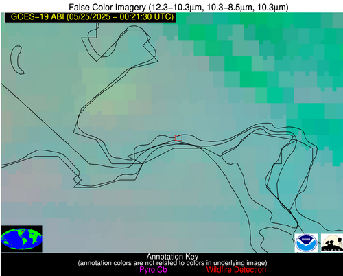
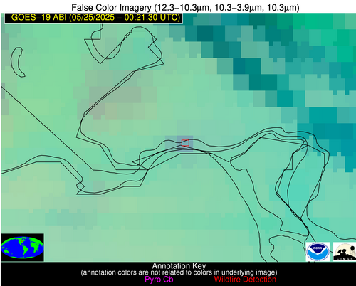
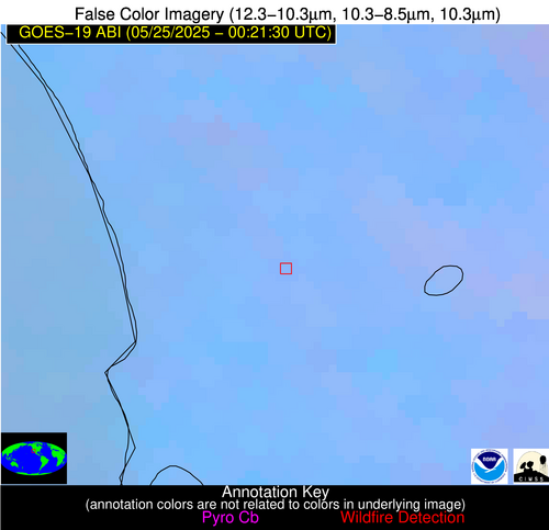
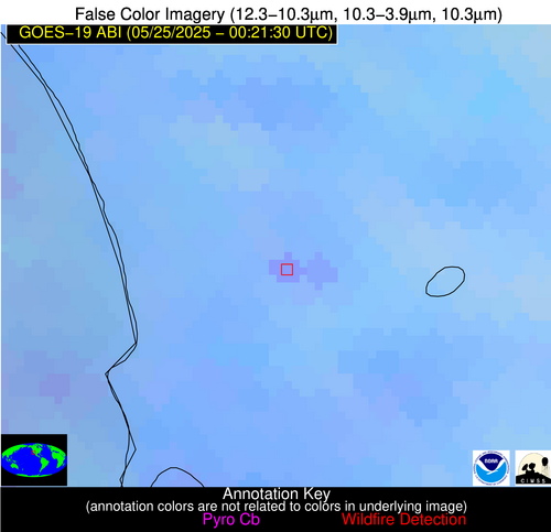
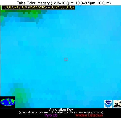
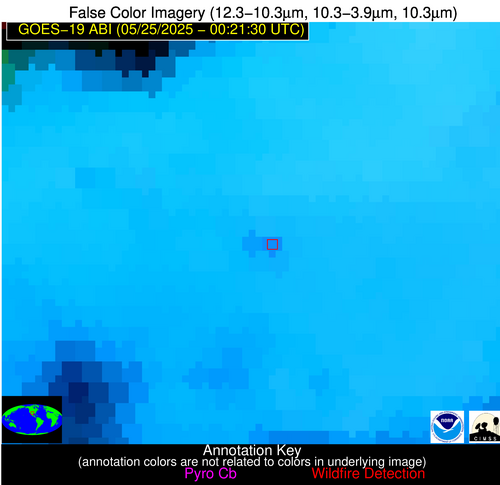
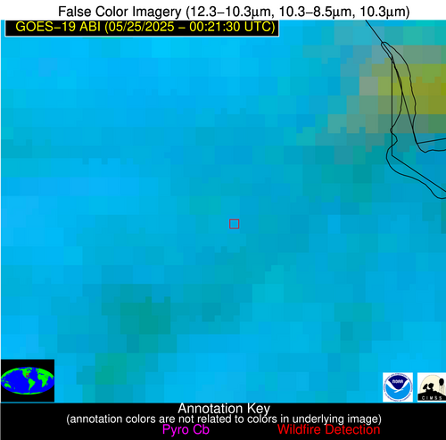
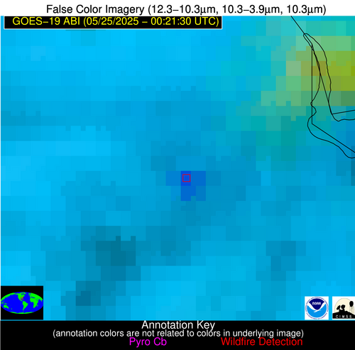
Possible Wildfire
| Basic Information | |
|---|---|
| State/Province(s) | Ontario |
| Country/Countries | Canada |
| County/Locality(s) | Algoma, Ontario |
| NWS WFO | N/A |
| Identification Method | Enhanced Contextual (Clear) |
| Mean Object Date/Time | 2025-05-25 00:21:22UTC |
| Radiative Center (Lat, Lon): | 46.521667°, -84.372780° |
| Nearby Counties (meeting alert criteria): |
|
| Total Radiative Power Anomaly | n/a |
| Total Radiative Power | 11.80 MW |
| Map: | |
| Additional Information | |
| Alert Status | New Feature |
| Type of Event | Ferrous-metal |
| Event Priority Ranking | 5 |
| Maximum Observed BT (3.9 um) | 284.51 K |
| Observed - Background BT (3.9 um) | 6.57 K |
| BT Anomaly (3.9 um) | 8.00 K |
| Maximum Observed - Clear RTM BT (3.9 um) | 6.74 K |
| Maximum Observed BTD (3.9-10/11/12 um) | 8.58 K |
| Observed - Background BTD (3.9-10/11/12 um) | 5.89 K |
| BTD Anomaly (3.9-10/11/12 um) | 8.32 K |
| Similar Pixel Count | 2 |
| BT Time Tendency (3.9 um) | 1.00 K |
| Image Interval | 5.00 minutes |
| Fraction of Surrounding LWIR Pixels that are Colder | 0.86 |
| Fraction of Surrounding Red Channel Pixels that are Brighter | 1.00 |
| Maximum Radiative Power | 11.80 MW |
| Maximum Radiative Power Uncertainty | 0.00 MW |
| Total Radiative Power Uncertainty | 0.00 MW |
| Mean Viewing Angle | 54.50° |
| Mean Solar Zenith Angle | 82.80° |
| Mean Glint Angle | 57.30° |
| Water Fraction | 0.00 |
| Total Pixel Area | 6.90 km2 |
| Latest Satellite Imagery: | |
| View all event imagery » | |
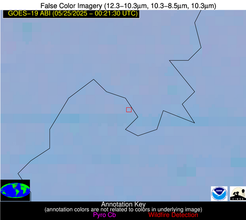
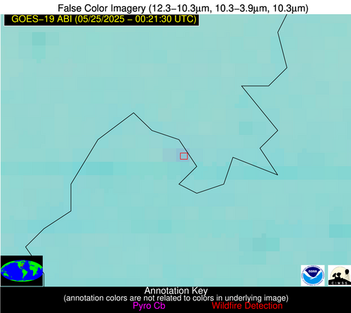
Possible Wildfire
| Basic Information | |
|---|---|
| State/Province(s) | WV |
| Country/Countries | United States |
| County/Locality(s) | Mason County, WV |
| NWS WFO | Charleston WV |
| Identification Method | Enhanced Contextual (Clear) |
| Mean Object Date/Time | 2025-05-25 00:21:52UTC |
| Radiative Center (Lat, Lon): | 38.952221°, -81.923889° |
| Nearby Counties (meeting alert criteria): |
|
| Total Radiative Power Anomaly | n/a |
| Total Radiative Power | 5.37 MW |
| Map: | |
| Additional Information | |
| Alert Status | New Feature |
| Type of Event | Coal-processing |
| Event Priority Ranking | 5 |
| Maximum Observed BT (3.9 um) | 287.93 K |
| Observed - Background BT (3.9 um) | 3.11 K |
| BT Anomaly (3.9 um) | 10.33 K |
| Maximum Observed - Clear RTM BT (3.9 um) | 5.28 K |
| Maximum Observed BTD (3.9-10/11/12 um) | 4.73 K |
| Observed - Background BTD (3.9-10/11/12 um) | 2.76 K |
| BTD Anomaly (3.9-10/11/12 um) | 11.63 K |
| Similar Pixel Count | 1 |
| BT Time Tendency (3.9 um) | 2.20 K |
| Image Interval | 5.00 minutes |
| Fraction of Surrounding LWIR Pixels that are Colder | 0.89 |
| Fraction of Surrounding Red Channel Pixels that are Brighter | 1.00 |
| Maximum Radiative Power | 5.37 MW |
| Maximum Radiative Power Uncertainty | 0.00 MW |
| Total Radiative Power Uncertainty | 0.00 MW |
| Mean Viewing Angle | 45.90° |
| Mean Solar Zenith Angle | 87.50° |
| Mean Glint Angle | 63.40° |
| Water Fraction | 0.00 |
| Total Pixel Area | 5.70 km2 |
| Latest Satellite Imagery: | |
| View all event imagery » | |
Possible Wildfire
| Basic Information | |
|---|---|
| State/Province(s) | CA |
| Country/Countries | United States |
| County/Locality(s) | San Diego County, CA |
| NWS WFO | San Diego CA |
| Identification Method | Enhanced Contextual (Clear) |
| Mean Object Date/Time | 2025-05-25 00:22:18UTC |
| Radiative Center (Lat, Lon): | 32.947498°, -117.085281° |
| Nearby Counties (meeting alert criteria): |
|
| Total Radiative Power Anomaly | n/a |
| Total Radiative Power | 22.61 MW |
| Map: | |
| Additional Information | |
| Alert Status | New Feature |
| Type of Event | Nominal Risk |
| Event Priority Ranking | 4 |
| Maximum Observed BT (3.9 um) | 301.58 K |
| Observed - Background BT (3.9 um) | 5.06 K |
| BT Anomaly (3.9 um) | 2.59 K |
| Maximum Observed - Clear RTM BT (3.9 um) | 7.16 K |
| Maximum Observed BTD (3.9-10/11/12 um) | 10.22 K |
| Observed - Background BTD (3.9-10/11/12 um) | 4.86 K |
| BTD Anomaly (3.9-10/11/12 um) | 3.74 K |
| Similar Pixel Count | 2 |
| BT Time Tendency (3.9 um) | 4.00 K |
| Image Interval | 5.00 minutes |
| Fraction of Surrounding LWIR Pixels that are Colder | 0.65 |
| Fraction of Surrounding Red Channel Pixels that are Brighter | 1.00 |
| Maximum Radiative Power | 22.61 MW |
| Maximum Radiative Power Uncertainty | 0.00 MW |
| Total Radiative Power Uncertainty | 0.00 MW |
| Mean Viewing Angle | 59.10° |
| Mean Solar Zenith Angle | 61.80° |
| Mean Glint Angle | 20.70° |
| Water Fraction | 0.00 |
| Total Pixel Area | 7.80 km2 |
| Latest Satellite Imagery: | |
| View all event imagery » | |
Possible Wildfire
| Basic Information | |
|---|---|
| State/Province(s) | TX |
| Country/Countries | United States |
| County/Locality(s) | Reagan County, TX |
| NWS WFO | Midland/Odessa TX |
| Identification Method | Enhanced Contextual (Clear) |
| Mean Object Date/Time | 2025-05-25 00:22:19UTC |
| Radiative Center (Lat, Lon): | 31.369167°, -101.773888° |
| Nearby Counties (meeting alert criteria): |
|
| Total Radiative Power Anomaly | n/a |
| Total Radiative Power | 46.92 MW |
| Map: | |
| Additional Information | |
| Alert Status | New Feature |
| Type of Event | Oil/gas |
| Event Priority Ranking | 5 |
| Maximum Observed BT (3.9 um) | 311.65 K |
| Observed - Background BT (3.9 um) | 7.94 K |
| BT Anomaly (3.9 um) | 6.21 K |
| Maximum Observed - Clear RTM BT (3.9 um) | 7.58 K |
| Maximum Observed BTD (3.9-10/11/12 um) | 14.83 K |
| Observed - Background BTD (3.9-10/11/12 um) | 6.91 K |
| BTD Anomaly (3.9-10/11/12 um) | 5.98 K |
| Similar Pixel Count | 3 |
| BT Time Tendency (3.9 um) | 1.20 K |
| Image Interval | 5.00 minutes |
| Fraction of Surrounding LWIR Pixels that are Colder | 0.94 |
| Fraction of Surrounding Red Channel Pixels that are Brighter | 0.62 |
| Maximum Radiative Power | 46.92 MW |
| Maximum Radiative Power Uncertainty | 0.00 MW |
| Total Radiative Power Uncertainty | 0.00 MW |
| Mean Viewing Angle | 46.70° |
| Mean Solar Zenith Angle | 74.80° |
| Mean Glint Angle | 38.40° |
| Water Fraction | 0.00 |
| Total Pixel Area | 11.70 km2 |
| Latest Satellite Imagery: | |
| View all event imagery » | |
Possible Wildfire
| Basic Information | |
|---|---|
| State/Province(s) | FL |
| Country/Countries | United States |
| County/Locality(s) | Jackson County, FL |
| NWS WFO | Tallahassee FL |
| Identification Method | Enhanced Contextual (Clear) |
| Mean Object Date/Time | 2025-05-25 00:22:21UTC |
| Radiative Center (Lat, Lon): | 30.676390°, -85.158890° |
| Nearby Counties (meeting alert criteria): |
|
| Total Radiative Power Anomaly | n/a |
| Total Radiative Power | 45.61 MW |
| Map: | |
| Additional Information | |
| Alert Status | New Feature |
| Type of Event | Nominal Risk |
| Event Priority Ranking | 4 |
| Maximum Observed BT (3.9 um) | 306.18 K |
| Observed - Background BT (3.9 um) | 12.92 K |
| BT Anomaly (3.9 um) | 14.55 K |
| Maximum Observed - Clear RTM BT (3.9 um) | 9.48 K |
| Maximum Observed BTD (3.9-10/11/12 um) | 25.07 K |
| Observed - Background BTD (3.9-10/11/12 um) | 12.55 K |
| BTD Anomaly (3.9-10/11/12 um) | 10.78 K |
| Similar Pixel Count | 8 |
| BT Time Tendency (3.9 um) | 8.70 K |
| Image Interval | 5.00 minutes |
| Fraction of Surrounding LWIR Pixels that are Colder | 0.74 |
| Fraction of Surrounding Red Channel Pixels that are Brighter | 1.00 |
| Maximum Radiative Power | 45.61 MW |
| Maximum Radiative Power Uncertainty | 0.00 MW |
| Total Radiative Power Uncertainty | 0.00 MW |
| Mean Viewing Angle | 37.50° |
| Mean Solar Zenith Angle | 88.40° |
| Mean Glint Angle | 64.40° |
| Water Fraction | 0.00 |
| Total Pixel Area | 5.00 km2 |
| Latest Satellite Imagery: | |
| View all event imagery » | |
