Wildfire Alert Report
| Date: | 2025-05-24 |
|---|---|
| Time: | 23:21:17 |
| Production Date and Time: | 2025-05-24 23:26:08 UTC |
| Primary Instrument: | GOES-19 ABI |
| Wmo Spacecraft Id: | 666 |
| Location/orbit: | GEO |
| L1 File: | OR_ABI-L1b-RadC-M6C14_G19_s20251442321176_e20251442323549_c20251442324040.nc |
| L1 File(s) - Temporal | OR_ABI-L1b-RadC-M6C14_G19_s20251442316176_e20251442318549_c20251442319039.nc |
| Number Of Thermal Anomaly Alerts: | 2 |
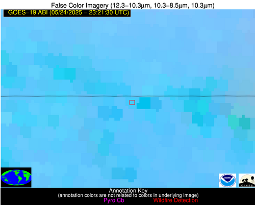
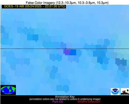
Possible Wildfire
| Basic Information | |
|---|---|
| State/Province(s) | ND |
| Country/Countries | United States |
| County/Locality(s) | Bottineau County, ND |
| NWS WFO | Bismarck ND |
| Identification Method | Enhanced Contextual (Cloud) |
| Mean Object Date/Time | 2025-05-24 23:21:20UTC |
| Radiative Center (Lat, Lon): | 48.981667°, -100.816666° |
| Nearby Counties (meeting alert criteria): |
|
| Total Radiative Power Anomaly | n/a |
| Total Radiative Power | 68.81 MW |
| Map: | |
| Additional Information | |
| Alert Status | New Feature |
| Type of Event | Nominal Risk |
| Event Priority Ranking | 4 |
| Maximum Observed BT (3.9 um) | 310.28 K |
| Observed - Background BT (3.9 um) | 13.21 K |
| BT Anomaly (3.9 um) | 13.47 K |
| Maximum Observed - Clear RTM BT (3.9 um) | 23.08 K |
| Maximum Observed BTD (3.9-10/11/12 um) | 20.31 K |
| Observed - Background BTD (3.9-10/11/12 um) | 13.57 K |
| BTD Anomaly (3.9-10/11/12 um) | 13.33 K |
| Similar Pixel Count | 0 |
| BT Time Tendency (3.9 um) | 9.50 K |
| Image Interval | 5.00 minutes |
| Fraction of Surrounding LWIR Pixels that are Colder | 0.34 |
| Fraction of Surrounding Red Channel Pixels that are Brighter | 0.28 |
| Maximum Radiative Power | 68.81 MW |
| Maximum Radiative Power Uncertainty | 0.00 MW |
| Total Radiative Power Uncertainty | 0.00 MW |
| Mean Viewing Angle | 61.70° |
| Mean Solar Zenith Angle | 61.90° |
| Mean Glint Angle | 50.50° |
| Water Fraction | 0.00 |
| Total Pixel Area | 8.40 km2 |
| Latest Satellite Imagery: | |
| View all event imagery » | |
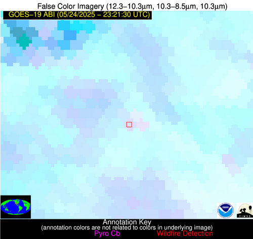
Possible Wildfire
| Basic Information | |
|---|---|
| State/Province(s) | CA |
| Country/Countries | United States |
| County/Locality(s) | Riverside County, CA |
| NWS WFO | Phoenix AZ |
| Identification Method | Enhanced Contextual (Cloud) |
| Mean Object Date/Time | 2025-05-24 23:22:18UTC |
| Radiative Center (Lat, Lon): | 33.815556°, -115.407776° |
| Nearby Counties (meeting alert criteria): |
|
| Total Radiative Power Anomaly | n/a |
| Total Radiative Power | 499.11 MW |
| Map: | |
| Additional Information | |
| Alert Status | New Feature |
| Type of Event | Solar panel (database + spectral) |
| Event Priority Ranking | 5 |
| Maximum Observed BT (3.9 um) | 335.01 K |
| Observed - Background BT (3.9 um) | 19.66 K |
| BT Anomaly (3.9 um) | 10.65 K |
| Maximum Observed - Clear RTM BT (3.9 um) | 24.17 K |
| Maximum Observed BTD (3.9-10/11/12 um) | 25.92 K |
| Observed - Background BTD (3.9-10/11/12 um) | 19.75 K |
| BTD Anomaly (3.9-10/11/12 um) | 20.75 K |
| Similar Pixel Count | 0 |
| BT Time Tendency (3.9 um) | 11.30 K |
| Image Interval | 5.00 minutes |
| Fraction of Surrounding LWIR Pixels that are Colder | 0.56 |
| Fraction of Surrounding Red Channel Pixels that are Brighter | 0.00 |
| Maximum Radiative Power | 280.06 MW |
| Maximum Radiative Power Uncertainty | 0.00 MW |
| Total Radiative Power Uncertainty | 0.00 MW |
| Mean Viewing Angle | 58.30° |
| Mean Solar Zenith Angle | 50.70° |
| Mean Glint Angle | 28.00° |
| Water Fraction | 0.00 |
| Total Pixel Area | 30.40 km2 |
| Latest Satellite Imagery: | |
| View all event imagery » | |


