Wildfire Alert Report
| Date: | 2025-05-24 |
|---|---|
| Time: | 22:26:17 |
| Production Date and Time: | 2025-05-24 22:31:20 UTC |
| Primary Instrument: | GOES-19 ABI |
| Wmo Spacecraft Id: | 666 |
| Location/orbit: | GEO |
| L1 File: | OR_ABI-L1b-RadC-M6C14_G19_s20251442226176_e20251442228549_c20251442229032.nc |
| L1 File(s) - Temporal | OR_ABI-L1b-RadC-M6C14_G19_s20251442221176_e20251442223549_c20251442224042.nc |
| Number Of Thermal Anomaly Alerts: | 3 |
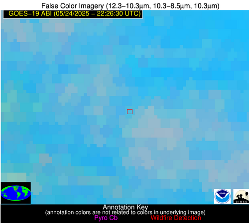
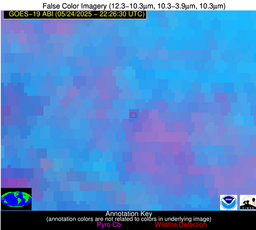
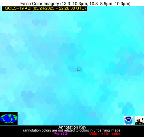
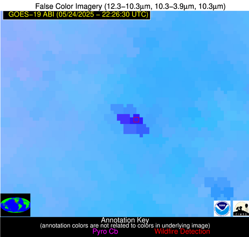
Possible Wildfire
| Basic Information | |
|---|---|
| State/Province(s) | KS |
| Country/Countries | United States |
| County/Locality(s) | Lyon County, KS |
| NWS WFO | Topeka KS |
| Identification Method | Enhanced Contextual (Clear) |
| Mean Object Date/Time | 2025-05-24 22:26:50UTC |
| Radiative Center (Lat, Lon): | 38.371113°, -96.266945° |
| Nearby Counties (meeting alert criteria): |
|
| Total Radiative Power Anomaly | n/a |
| Total Radiative Power | 9.67 MW |
| Map: | |
| Additional Information | |
| Alert Status | New Feature |
| Type of Event | Nominal Risk |
| Event Priority Ranking | 4 |
| Maximum Observed BT (3.9 um) | 300.44 K |
| Observed - Background BT (3.9 um) | 3.24 K |
| BT Anomaly (3.9 um) | 3.59 K |
| Maximum Observed - Clear RTM BT (3.9 um) | 11.77 K |
| Maximum Observed BTD (3.9-10/11/12 um) | 16.62 K |
| Observed - Background BTD (3.9-10/11/12 um) | 3.33 K |
| BTD Anomaly (3.9-10/11/12 um) | 2.19 K |
| Similar Pixel Count | 22 |
| BT Time Tendency (3.9 um) | 3.80 K |
| Image Interval | 5.00 minutes |
| Fraction of Surrounding LWIR Pixels that are Colder | 0.47 |
| Fraction of Surrounding Red Channel Pixels that are Brighter | 0.88 |
| Maximum Radiative Power | 9.67 MW |
| Maximum Radiative Power Uncertainty | 0.00 MW |
| Total Radiative Power Uncertainty | 0.00 MW |
| Mean Viewing Angle | 49.80° |
| Mean Solar Zenith Angle | 55.10° |
| Mean Glint Angle | 45.80° |
| Water Fraction | 0.00 |
| Total Pixel Area | 6.20 km2 |
| Latest Satellite Imagery: | |
| View all event imagery » | |
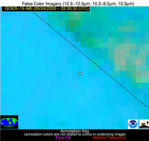
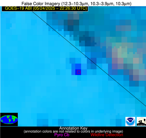
Possible Wildfire
| Basic Information | |
|---|---|
| State/Province(s) | SC |
| Country/Countries | United States |
| County/Locality(s) | Horry County, SC |
| NWS WFO | Wilmington NC |
| Identification Method | Enhanced Contextual (Cloud) |
| Mean Object Date/Time | 2025-05-24 22:27:22UTC |
| Radiative Center (Lat, Lon): | 34.189167°, -79.068336° |
| Nearby Counties (meeting alert criteria): |
|
| Total Radiative Power Anomaly | n/a |
| Total Radiative Power | 187.80 MW |
| Map: | |
| Additional Information | |
| Alert Status | New Feature |
| Type of Event | Nominal Risk |
| Event Priority Ranking | 4 |
| Maximum Observed BT (3.9 um) | 321.38 K |
| Observed - Background BT (3.9 um) | 24.96 K |
| BT Anomaly (3.9 um) | 48.58 K |
| Maximum Observed - Clear RTM BT (3.9 um) | 30.50 K |
| Maximum Observed BTD (3.9-10/11/12 um) | 32.74 K |
| Observed - Background BTD (3.9-10/11/12 um) | 24.94 K |
| BTD Anomaly (3.9-10/11/12 um) | 40.75 K |
| Similar Pixel Count | 0 |
| BT Time Tendency (3.9 um) | 22.20 K |
| Image Interval | 5.00 minutes |
| Fraction of Surrounding LWIR Pixels that are Colder | 0.57 |
| Fraction of Surrounding Red Channel Pixels that are Brighter | 0.96 |
| Maximum Radiative Power | 136.05 MW |
| Maximum Radiative Power Uncertainty | 0.00 MW |
| Total Radiative Power Uncertainty | 0.00 MW |
| Mean Viewing Angle | 40.10° |
| Mean Solar Zenith Angle | 69.30° |
| Mean Glint Angle | 62.60° |
| Water Fraction | 0.00 |
| Total Pixel Area | 15.70 km2 |
| Latest Satellite Imagery: | |
| View all event imagery » | |
Possible Wildfire
| Basic Information | |
|---|---|
| State/Province(s) | AZ |
| Country/Countries | United States |
| County/Locality(s) | Maricopa County, AZ |
| NWS WFO | Phoenix AZ |
| Identification Method | Enhanced Contextual (Cloud) |
| Mean Object Date/Time | 2025-05-24 22:27:18UTC |
| Radiative Center (Lat, Lon): | 33.344166°, -112.906944° |
| Nearby Counties (meeting alert criteria): |
|
| Total Radiative Power Anomaly | n/a |
| Total Radiative Power | 405.78 MW |
| Map: | |
| Additional Information | |
| Alert Status | New Feature |
| Type of Event | Solar panel (database + spectral) |
| Event Priority Ranking | 5 |
| Maximum Observed BT (3.9 um) | 342.15 K |
| Observed - Background BT (3.9 um) | 22.14 K |
| BT Anomaly (3.9 um) | 20.95 K |
| Maximum Observed - Clear RTM BT (3.9 um) | 32.67 K |
| Maximum Observed BTD (3.9-10/11/12 um) | 30.17 K |
| Observed - Background BTD (3.9-10/11/12 um) | 22.38 K |
| BTD Anomaly (3.9-10/11/12 um) | 29.17 K |
| Similar Pixel Count | 0 |
| BT Time Tendency (3.9 um) | 11.50 K |
| Image Interval | 5.00 minutes |
| Fraction of Surrounding LWIR Pixels that are Colder | 0.47 |
| Fraction of Surrounding Red Channel Pixels that are Brighter | 0.00 |
| Maximum Radiative Power | 225.06 MW |
| Maximum Radiative Power Uncertainty | 0.00 MW |
| Total Radiative Power Uncertainty | 0.00 MW |
| Mean Viewing Angle | 56.10° |
| Mean Solar Zenith Angle | 41.30° |
| Mean Glint Angle | 34.10° |
| Water Fraction | 0.00 |
| Total Pixel Area | 14.30 km2 |
| Latest Satellite Imagery: | |
| View all event imagery » | |
