Wildfire Alert Report
| Date: | 2025-05-24 |
|---|---|
| Time: | 20:56:17 |
| Production Date and Time: | 2025-05-24 21:01:15 UTC |
| Primary Instrument: | GOES-19 ABI |
| Wmo Spacecraft Id: | 666 |
| Location/orbit: | GEO |
| L1 File: | OR_ABI-L1b-RadC-M6C14_G19_s20251442056176_e20251442058549_c20251442059046.nc |
| L1 File(s) - Temporal | OR_ABI-L1b-RadC-M6C14_G19_s20251442051176_e20251442053549_c20251442054049.nc |
| Number Of Thermal Anomaly Alerts: | 5 |
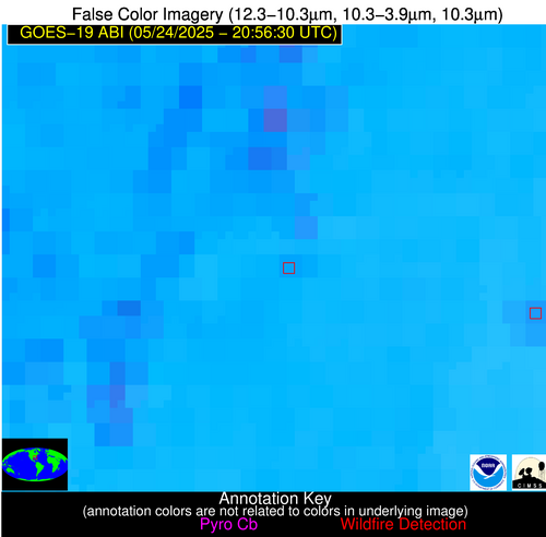
Possible Wildfire
| Basic Information | |
|---|---|
| State/Province(s) | GA |
| Country/Countries | United States |
| County/Locality(s) | Brantley County, GA |
| NWS WFO | Jacksonville FL |
| Identification Method | Enhanced Contextual (Clear) |
| Mean Object Date/Time | 2025-05-24 20:57:22UTC |
| Radiative Center (Lat, Lon): | 31.231945°, -82.099442° |
| Nearby Counties (meeting alert criteria): |
|
| Total Radiative Power Anomaly | n/a |
| Total Radiative Power | 6.92 MW |
| Map: | |
| Additional Information | |
| Alert Status | New Feature |
| Type of Event | Nominal Risk |
| Event Priority Ranking | 4 |
| Maximum Observed BT (3.9 um) | 306.04 K |
| Observed - Background BT (3.9 um) | 2.42 K |
| BT Anomaly (3.9 um) | 1.60 K |
| Maximum Observed - Clear RTM BT (3.9 um) | 5.00 K |
| Maximum Observed BTD (3.9-10/11/12 um) | 12.21 K |
| Observed - Background BTD (3.9-10/11/12 um) | 2.21 K |
| BTD Anomaly (3.9-10/11/12 um) | 1.49 K |
| Similar Pixel Count | 25 |
| BT Time Tendency (3.9 um) | 1.00 K |
| Image Interval | 5.00 minutes |
| Fraction of Surrounding LWIR Pixels that are Colder | 0.61 |
| Fraction of Surrounding Red Channel Pixels that are Brighter | 1.00 |
| Maximum Radiative Power | 6.92 MW |
| Maximum Radiative Power Uncertainty | 0.00 MW |
| Total Radiative Power Uncertainty | 0.00 MW |
| Mean Viewing Angle | 37.30° |
| Mean Solar Zenith Angle | 48.30° |
| Mean Glint Angle | 50.40° |
| Water Fraction | 0.00 |
| Total Pixel Area | 5.00 km2 |
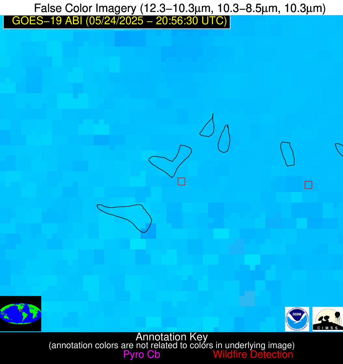
| Latest Satellite Imagery: | |
| View all event imagery » | |
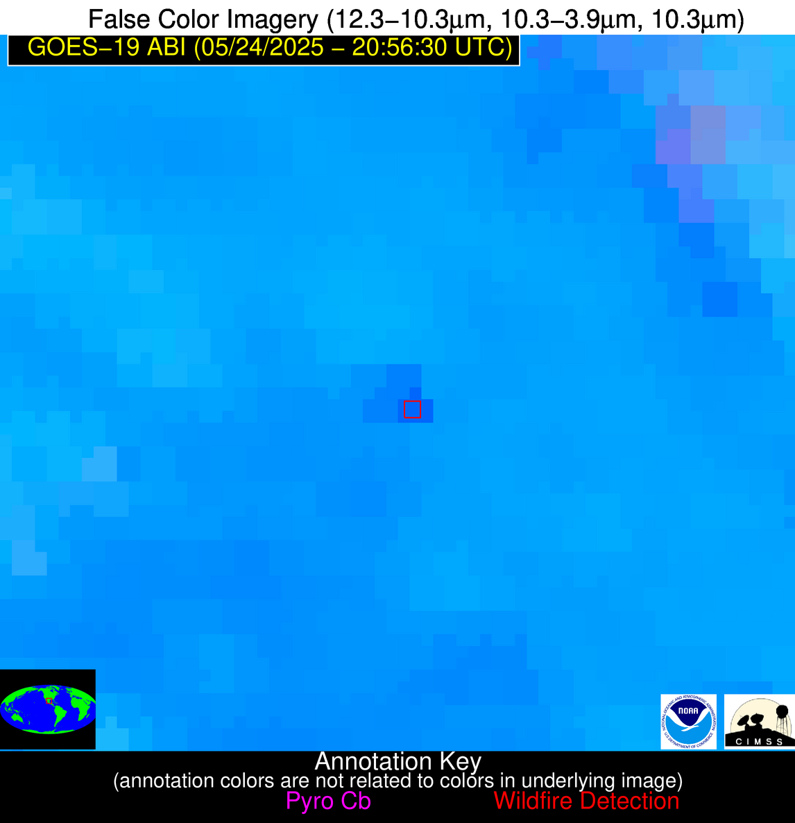
Possible Wildfire
| Basic Information | |
|---|---|
| State/Province(s) | Nuevo León |
| Country/Countries | Mexico |
| County/Locality(s) | Ciénega de Flores, Nuevo León |
| NWS WFO | N/A |
| Identification Method | Enhanced Contextual (Clear) |
| Mean Object Date/Time | 2025-05-24 20:57:49UTC |
| Radiative Center (Lat, Lon): | 25.951111°, -100.206390° |
| Nearby Counties (meeting alert criteria): |
|
| Total Radiative Power Anomaly | n/a |
| Total Radiative Power | 37.78 MW |
| Map: | |
| Additional Information | |
| Alert Status | New Feature |
| Type of Event | Nominal Risk |
| Event Priority Ranking | 4 |
| Maximum Observed BT (3.9 um) | 325.45 K |
| Observed - Background BT (3.9 um) | 8.41 K |
| BT Anomaly (3.9 um) | 4.27 K |
| Maximum Observed - Clear RTM BT (3.9 um) | 14.05 K |
| Maximum Observed BTD (3.9-10/11/12 um) | 21.78 K |
| Observed - Background BTD (3.9-10/11/12 um) | 6.97 K |
| BTD Anomaly (3.9-10/11/12 um) | 4.39 K |
| Similar Pixel Count | 9 |
| BT Time Tendency (3.9 um) | 2.50 K |
| Image Interval | 5.00 minutes |
| Fraction of Surrounding LWIR Pixels that are Colder | 1.00 |
| Fraction of Surrounding Red Channel Pixels that are Brighter | 0.66 |
| Maximum Radiative Power | 37.78 MW |
| Maximum Radiative Power Uncertainty | 0.00 MW |
| Total Radiative Power Uncertainty | 0.00 MW |
| Mean Viewing Angle | 41.30° |
| Mean Solar Zenith Angle | 32.30° |
| Mean Glint Angle | 28.00° |
| Water Fraction | 0.00 |
| Total Pixel Area | 5.30 km2 |
| Latest Satellite Imagery: | |
| View all event imagery » | |
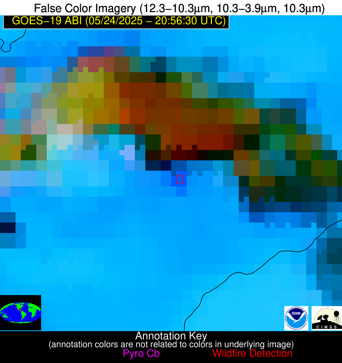
Possible Wildfire
| Basic Information | |
|---|---|
| State/Province(s) | Unknown |
| Country/Countries | Cuba |
| County/Locality(s) | Unknown, Unknown |
| NWS WFO | N/A |
| Identification Method | Enhanced Contextual (Clear) |
| Mean Object Date/Time | 2025-05-24 20:58:21UTC |
| Radiative Center (Lat, Lon): | 22.662777°, -83.114166° |
| Nearby Counties (meeting alert criteria): |
|
| Total Radiative Power Anomaly | n/a |
| Total Radiative Power | 37.66 MW |
| Map: | |
| Additional Information | |
| Alert Status | New Feature |
| Type of Event | Nominal Risk |
| Event Priority Ranking | 4 |
| Maximum Observed BT (3.9 um) | 317.70 K |
| Observed - Background BT (3.9 um) | 11.15 K |
| BT Anomaly (3.9 um) | 5.25 K |
| Maximum Observed - Clear RTM BT (3.9 um) | 14.43 K |
| Maximum Observed BTD (3.9-10/11/12 um) | 24.34 K |
| Observed - Background BTD (3.9-10/11/12 um) | 12.46 K |
| BTD Anomaly (3.9-10/11/12 um) | 7.07 K |
| Similar Pixel Count | 9 |
| BT Time Tendency (3.9 um) | 4.10 K |
| Image Interval | 5.00 minutes |
| Fraction of Surrounding LWIR Pixels that are Colder | 0.60 |
| Fraction of Surrounding Red Channel Pixels that are Brighter | 0.56 |
| Maximum Radiative Power | 37.66 MW |
| Maximum Radiative Power Uncertainty | 0.00 MW |
| Total Radiative Power Uncertainty | 0.00 MW |
| Mean Viewing Angle | 28.10° |
| Mean Solar Zenith Angle | 48.00° |
| Mean Glint Angle | 41.20° |
| Water Fraction | 0.00 |
| Total Pixel Area | 4.50 km2 |
| Latest Satellite Imagery: | |
| View all event imagery » | |
Possible Wildfire
| Basic Information | |
|---|---|
| State/Province(s) | Unknown |
| Country/Countries | Cuba |
| County/Locality(s) | Unknown, Unknown |
| NWS WFO | N/A |
| Identification Method | Enhanced Contextual (Clear) |
| Mean Object Date/Time | 2025-05-24 20:58:22UTC |
| Radiative Center (Lat, Lon): | 21.955555°, -78.636948° |
| Nearby Counties (meeting alert criteria): |
|
| Total Radiative Power Anomaly | n/a |
| Total Radiative Power | 15.25 MW |
| Map: | |
| Additional Information | |
| Alert Status | New Feature |
| Type of Event | Nominal Risk |
| Event Priority Ranking | 4 |
| Maximum Observed BT (3.9 um) | 314.87 K |
| Observed - Background BT (3.9 um) | 6.04 K |
| BT Anomaly (3.9 um) | 2.52 K |
| Maximum Observed - Clear RTM BT (3.9 um) | 8.64 K |
| Maximum Observed BTD (3.9-10/11/12 um) | 18.60 K |
| Observed - Background BTD (3.9-10/11/12 um) | 5.57 K |
| BTD Anomaly (3.9-10/11/12 um) | 2.50 K |
| Similar Pixel Count | 25 |
| BT Time Tendency (3.9 um) | 2.70 K |
| Image Interval | 5.00 minutes |
| Fraction of Surrounding LWIR Pixels that are Colder | 0.78 |
| Fraction of Surrounding Red Channel Pixels that are Brighter | 1.00 |
| Maximum Radiative Power | 15.25 MW |
| Maximum Radiative Power Uncertainty | 0.00 MW |
| Total Radiative Power Uncertainty | 0.00 MW |
| Mean Viewing Angle | 26.10° |
| Mean Solar Zenith Angle | 52.20° |
| Mean Glint Angle | 48.50° |
| Water Fraction | 0.00 |
| Total Pixel Area | 4.50 km2 |
| Latest Satellite Imagery: | |
| View all event imagery » | |
Possible Wildfire
| Basic Information | |
|---|---|
| State/Province(s) | Veracruz de Ignacio de la Llave |
| Country/Countries | Mexico |
| County/Locality(s) | Pánuco, Veracruz de Ignacio de la Llave |
| NWS WFO | N/A |
| Identification Method | Enhanced Contextual (Clear) |
| Mean Object Date/Time | 2025-05-24 20:58:19UTC |
| Radiative Center (Lat, Lon): | 22.080278°, -98.421112° |
| Nearby Counties (meeting alert criteria): |
|
| Total Radiative Power Anomaly | n/a |
| Total Radiative Power | 16.81 MW |
| Map: | |
| Additional Information | |
| Alert Status | New Feature |
| Type of Event | Nominal Risk |
| Event Priority Ranking | 4 |
| Maximum Observed BT (3.9 um) | 319.87 K |
| Observed - Background BT (3.9 um) | 4.58 K |
| BT Anomaly (3.9 um) | 2.51 K |
| Maximum Observed - Clear RTM BT (3.9 um) | 10.59 K |
| Maximum Observed BTD (3.9-10/11/12 um) | 23.42 K |
| Observed - Background BTD (3.9-10/11/12 um) | 4.37 K |
| BTD Anomaly (3.9-10/11/12 um) | 2.35 K |
| Similar Pixel Count | 24 |
| BT Time Tendency (3.9 um) | 1.80 K |
| Image Interval | 5.00 minutes |
| Fraction of Surrounding LWIR Pixels that are Colder | 0.72 |
| Fraction of Surrounding Red Channel Pixels that are Brighter | 0.96 |
| Maximum Radiative Power | 16.81 MW |
| Maximum Radiative Power Uncertainty | 0.00 MW |
| Total Radiative Power Uncertainty | 0.00 MW |
| Mean Viewing Angle | 37.00° |
| Mean Solar Zenith Angle | 34.00° |
| Mean Glint Angle | 21.30° |
| Water Fraction | 0.00 |
| Total Pixel Area | 5.00 km2 |
| Latest Satellite Imagery: | |
| View all event imagery » | |

