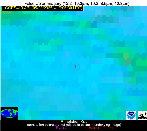
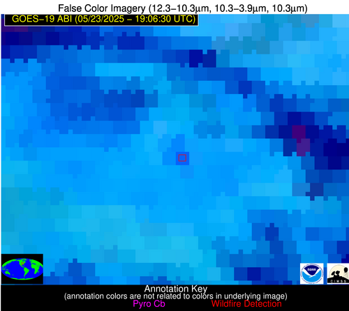
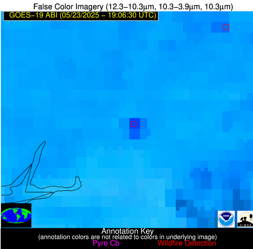
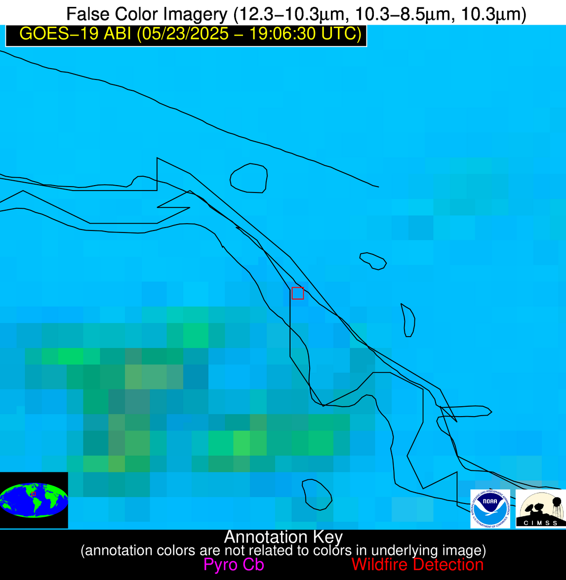
1606 UTC 1/9/2026: UPDATE: Problems related to data center cooling issues are being resolved; but time will be needed for systems to stabilize and data flows to return to normal, until that time, NGFS products will be produced but maybe sporadic/some images will be missed.
Wildfire Alert Report
| Date: | 2025-05-23 |
|---|---|
| Time: | 19:06:17 |
| Production Date and Time: | 2025-05-23 19:11:16 UTC |
| Primary Instrument: | GOES-19 ABI |
| Wmo Spacecraft Id: | 666 |
| Location/orbit: | GEO |
| L1 File: | OR_ABI-L1b-RadC-M6C14_G19_s20251431906175_e20251431908548_c20251431909053.nc |
| L1 File(s) - Temporal | OR_ABI-L1b-RadC-M6C14_G19_s20251431901175_e20251431903548_c20251431904033.nc |
| Number Of Thermal Anomaly Alerts: | 3 |
Possible Wildfire
| Basic Information | |
|---|---|
| State/Province(s) | MO |
| Country/Countries | United States |
| County/Locality(s) | Warren County, MO |
| NWS WFO | St Louis MO |
| Identification Method | Enhanced Contextual (Cloud) |
| Mean Object Date/Time | 2025-05-23 19:06:51UTC |
| Radiative Center (Lat, Lon): | 38.956944°, -91.247780° |
| Nearby Counties (meeting alert criteria): |
|
| Total Radiative Power Anomaly | n/a |
| Total Radiative Power | 40.63 MW |
| Map: | |
| Additional Information | |
| Alert Status | New Feature |
| Type of Event | Nominal Risk |
| Event Priority Ranking | 4 |
| Maximum Observed BT (3.9 um) | 309.90 K |
| Observed - Background BT (3.9 um) | 9.64 K |
| BT Anomaly (3.9 um) | 4.52 K |
| Maximum Observed - Clear RTM BT (3.9 um) | 18.69 K |
| Maximum Observed BTD (3.9-10/11/12 um) | 21.20 K |
| Observed - Background BTD (3.9-10/11/12 um) | 9.60 K |
| BTD Anomaly (3.9-10/11/12 um) | 7.02 K |
| Similar Pixel Count | 0 |
| BT Time Tendency (3.9 um) | 4.70 K |
| Image Interval | 5.00 minutes |
| Fraction of Surrounding LWIR Pixels that are Colder | 0.81 |
| Fraction of Surrounding Red Channel Pixels that are Brighter | 0.85 |
| Maximum Radiative Power | 40.63 MW |
| Maximum Radiative Power Uncertainty | 0.00 MW |
| Total Radiative Power Uncertainty | 0.00 MW |
| Mean Viewing Angle | 48.30° |
| Mean Solar Zenith Angle | 23.20° |
| Mean Glint Angle | 60.50° |
| Water Fraction | 0.00 |
| Total Pixel Area | 6.00 km2 |
| Latest Satellite Imagery: | |
| View all event imagery » | |
Possible Wildfire
| Basic Information | |
|---|---|
| State/Province(s) | GA |
| Country/Countries | United States |
| County/Locality(s) | Decatur County, GA |
| NWS WFO | Tallahassee FL |
| Identification Method | Enhanced Contextual (Cloud) |
| Mean Object Date/Time | 2025-05-23 19:07:21UTC |
| Radiative Center (Lat, Lon): | 30.942223°, -84.529999° |
| Nearby Counties (meeting alert criteria): |
|
| Total Radiative Power Anomaly | n/a |
| Total Radiative Power | 70.10 MW |
| Map: | |
| Additional Information | |
| Alert Status | New Feature |
| Type of Event | Nominal Risk |
| Event Priority Ranking | 4 |
| Maximum Observed BT (3.9 um) | 324.56 K |
| Observed - Background BT (3.9 um) | 14.14 K |
| BT Anomaly (3.9 um) | 5.14 K |
| Maximum Observed - Clear RTM BT (3.9 um) | 20.83 K |
| Maximum Observed BTD (3.9-10/11/12 um) | 26.27 K |
| Observed - Background BTD (3.9-10/11/12 um) | 14.82 K |
| BTD Anomaly (3.9-10/11/12 um) | 7.41 K |
| Similar Pixel Count | 0 |
| BT Time Tendency (3.9 um) | 12.40 K |
| Image Interval | 5.00 minutes |
| Fraction of Surrounding LWIR Pixels that are Colder | 0.30 |
| Fraction of Surrounding Red Channel Pixels that are Brighter | 1.00 |
| Maximum Radiative Power | 70.10 MW |
| Maximum Radiative Power Uncertainty | 0.00 MW |
| Total Radiative Power Uncertainty | 0.00 MW |
| Mean Viewing Angle | 37.60° |
| Mean Solar Zenith Angle | 23.10° |
| Mean Glint Angle | 44.60° |
| Water Fraction | 0.00 |
| Total Pixel Area | 5.00 km2 |
| Latest Satellite Imagery: | |
| View all event imagery » | |
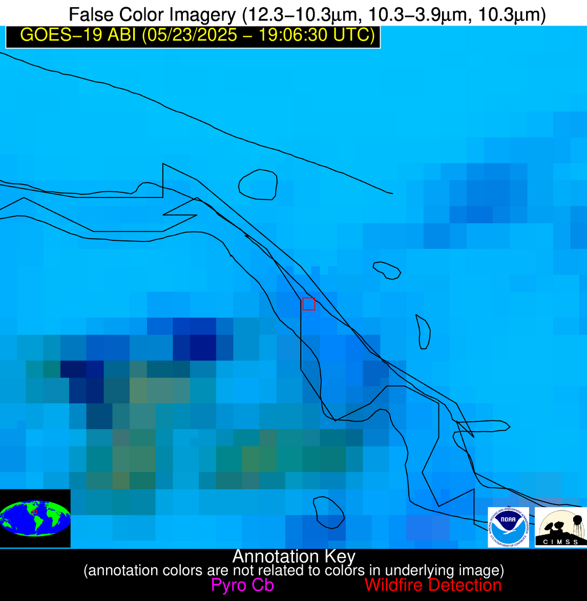
Possible Wildfire
| Basic Information | |
|---|---|
| State/Province(s) | Unknown |
| Country/Countries | Bahamas |
| County/Locality(s) | Unknown, Unknown |
| NWS WFO | N/A |
| Identification Method | Enhanced Contextual (Clear) |
| Mean Object Date/Time | 2025-05-23 19:07:52UTC |
| Radiative Center (Lat, Lon): | 26.796667°, -77.442223° |
| Nearby Counties (meeting alert criteria): |
|
| Total Radiative Power Anomaly | n/a |
| Total Radiative Power | 20.26 MW |
| Map: | |
| Additional Information | |
| Alert Status | New Feature |
| Type of Event | Nominal Risk |
| Event Priority Ranking | 4 |
| Maximum Observed BT (3.9 um) | 306.31 K |
| Observed - Background BT (3.9 um) | 6.73 K |
| BT Anomaly (3.9 um) | 6.79 K |
| Maximum Observed - Clear RTM BT (3.9 um) | 9.53 K |
| Maximum Observed BTD (3.9-10/11/12 um) | 19.74 K |
| Observed - Background BTD (3.9-10/11/12 um) | 6.71 K |
| BTD Anomaly (3.9-10/11/12 um) | 5.47 K |
| Similar Pixel Count | 23 |
| BT Time Tendency (3.9 um) | -0.20 K |
| Image Interval | 5.00 minutes |
| Fraction of Surrounding LWIR Pixels that are Colder | 0.49 |
| Fraction of Surrounding Red Channel Pixels that are Brighter | 0.69 |
| Maximum Radiative Power | 20.26 MW |
| Maximum Radiative Power Uncertainty | 0.00 MW |
| Total Radiative Power Uncertainty | 0.00 MW |
| Mean Viewing Angle | 31.50° |
| Mean Solar Zenith Angle | 28.20° |
| Mean Glint Angle | 41.90° |
| Water Fraction | 0.00 |
| Total Pixel Area | 4.70 km2 |
| Latest Satellite Imagery: | |
| View all event imagery » | |
