Wildfire Alert Report
| Date: | 2025-05-22 |
|---|---|
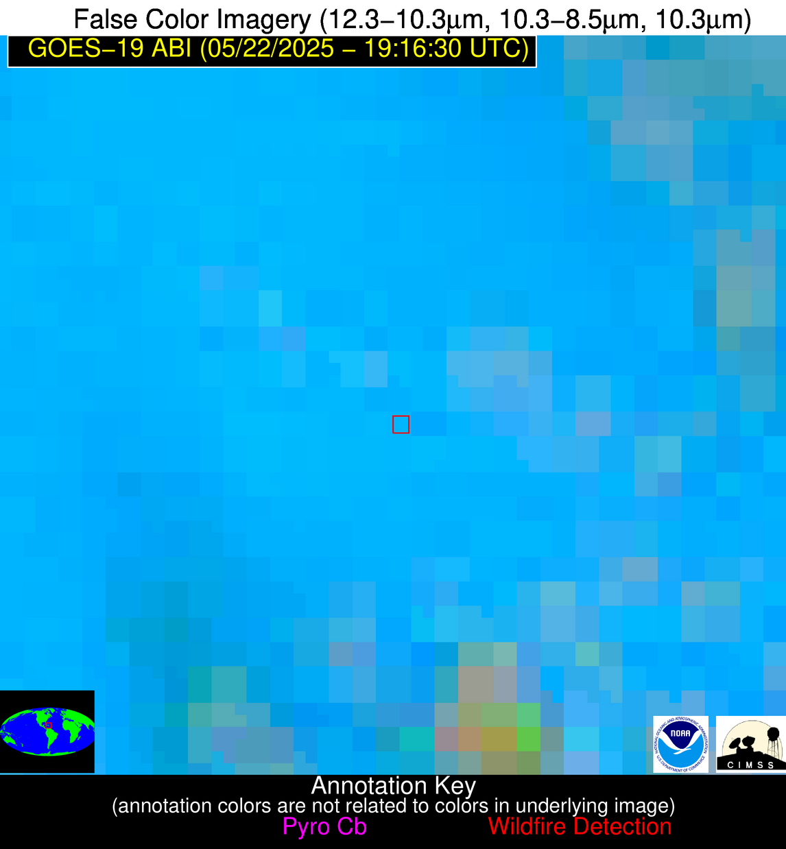
| Time: | 19:16:17 |
| Production Date and Time: | 2025-05-22 19:21:21 UTC |
| Primary Instrument: | GOES-19 ABI |
| Wmo Spacecraft Id: | 666 |
| Location/orbit: | GEO |
| L1 File: | OR_ABI-L1b-RadC-M6C14_G19_s20251421916174_e20251421918547_c20251421919036.nc |
| L1 File(s) - Temporal | OR_ABI-L1b-RadC-M6C14_G19_s20251421911174_e20251421913547_c20251421914019.nc |
| Number Of Thermal Anomaly Alerts: | 3 |
Possible Wildfire
| Basic Information | |
|---|---|
| State/Province(s) | IL |
| Country/Countries | United States |
| County/Locality(s) | White County, IL |
| NWS WFO | Paducah KY |
| Identification Method | Enhanced Contextual (Clear) |
| Mean Object Date/Time | 2025-05-22 19:16:51UTC |
| Radiative Center (Lat, Lon): | 38.209446°, -88.368332° |
| Nearby Counties (meeting alert criteria): |
|
| Total Radiative Power Anomaly | n/a |
| Total Radiative Power | 27.65 MW |
| Map: | |
| Additional Information | |
| Alert Status | New Feature |
| Type of Event | Nominal Risk |
| Event Priority Ranking | 4 |
| Maximum Observed BT (3.9 um) | 308.94 K |
| Observed - Background BT (3.9 um) | 8.03 K |
| BT Anomaly (3.9 um) | 3.57 K |
| Maximum Observed - Clear RTM BT (3.9 um) | 21.53 K |
| Maximum Observed BTD (3.9-10/11/12 um) | 16.12 K |
| Observed - Background BTD (3.9-10/11/12 um) | 6.56 K |
| BTD Anomaly (3.9-10/11/12 um) | 3.59 K |
| Similar Pixel Count | 11 |
| BT Time Tendency (3.9 um) | 0.60 K |
| Image Interval | 5.00 minutes |
| Fraction of Surrounding LWIR Pixels that are Colder | 0.97 |
| Fraction of Surrounding Red Channel Pixels that are Brighter | 0.38 |
| Maximum Radiative Power | 27.65 MW |
| Maximum Radiative Power Uncertainty | 0.00 MW |
| Total Radiative Power Uncertainty | 0.00 MW |
| Mean Viewing Angle | 46.60° |
| Mean Solar Zenith Angle | 25.90° |
| Mean Glint Angle | 58.30° |
| Water Fraction | 0.00 |
| Total Pixel Area | 5.80 km2 |
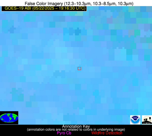
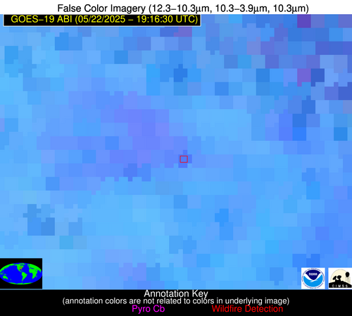
| Latest Satellite Imagery: | |
| View all event imagery » | |
Possible Wildfire
| Basic Information | |
|---|---|
| State/Province(s) | LA |
| Country/Countries | United States |
| County/Locality(s) | Beauregard Parish, LA |
| NWS WFO | Lake Charles LA |
| Identification Method | Enhanced Contextual (Clear) |
| Mean Object Date/Time | 2025-05-22 19:17:20UTC |
| Radiative Center (Lat, Lon): | 30.740000°, -93.039719° |
| Nearby Counties (meeting alert criteria): |
|
| Total Radiative Power Anomaly | n/a |
| Total Radiative Power | 11.26 MW |
| Map: | |
| Additional Information | |
| Alert Status | New Feature |
| Type of Event | Nominal Risk |
| Event Priority Ranking | 4 |
| Maximum Observed BT (3.9 um) | 307.22 K |
| Observed - Background BT (3.9 um) | 3.31 K |
| BT Anomaly (3.9 um) | 3.84 K |
| Maximum Observed - Clear RTM BT (3.9 um) | 4.37 K |
| Maximum Observed BTD (3.9-10/11/12 um) | 13.83 K |
| Observed - Background BTD (3.9-10/11/12 um) | 3.52 K |
| BTD Anomaly (3.9-10/11/12 um) | 4.02 K |
| Similar Pixel Count | 23 |
| BT Time Tendency (3.9 um) | 1.60 K |
| Image Interval | 5.00 minutes |
| Fraction of Surrounding LWIR Pixels that are Colder | 0.52 |
| Fraction of Surrounding Red Channel Pixels that are Brighter | 0.88 |
| Maximum Radiative Power | 11.26 MW |
| Maximum Radiative Power Uncertainty | 0.00 MW |
| Total Radiative Power Uncertainty | 0.00 MW |
| Mean Viewing Angle | 40.90° |
| Mean Solar Zenith Angle | 18.50° |
| Mean Glint Angle | 43.80° |
| Water Fraction | 0.00 |
| Total Pixel Area | 5.30 km2 |
| Latest Satellite Imagery: | |
| View all event imagery » | |
Possible Wildfire
| Basic Information | |
|---|---|
| State/Province(s) | Unknown |
| Country/Countries | Dominican Republic |
| County/Locality(s) | Unknown, Unknown |
| NWS WFO | N/A |
| Identification Method | Enhanced Contextual (Clear) |
| Mean Object Date/Time | 2025-05-22 19:18:53UTC |
| Radiative Center (Lat, Lon): | 18.969444°, -70.073891° |
| Nearby Counties (meeting alert criteria): |
|
| Total Radiative Power Anomaly | n/a |
| Total Radiative Power | 36.98 MW |
| Map: | |
| Additional Information | |
| Alert Status | New Feature |
| Type of Event | Nominal Risk |
| Event Priority Ranking | 4 |
| Maximum Observed BT (3.9 um) | 310.95 K |
| Observed - Background BT (3.9 um) | 6.44 K |
| BT Anomaly (3.9 um) | 4.63 K |
| Maximum Observed - Clear RTM BT (3.9 um) | 8.51 K |
| Maximum Observed BTD (3.9-10/11/12 um) | 19.27 K |
| Observed - Background BTD (3.9-10/11/12 um) | 6.36 K |
| BTD Anomaly (3.9-10/11/12 um) | 5.68 K |
| Similar Pixel Count | 19 |
| BT Time Tendency (3.9 um) | 2.00 K |
| Image Interval | 5.00 minutes |
| Fraction of Surrounding LWIR Pixels that are Colder | 0.70 |
| Fraction of Surrounding Red Channel Pixels that are Brighter | 0.59 |
| Maximum Radiative Power | 20.02 MW |
| Maximum Radiative Power Uncertainty | 0.00 MW |
| Total Radiative Power Uncertainty | 0.00 MW |
| Mean Viewing Angle | 23.10° |
| Mean Solar Zenith Angle | 37.60° |
| Mean Glint Angle | 45.50° |
| Water Fraction | 0.00 |
| Total Pixel Area | 8.70 km2 |
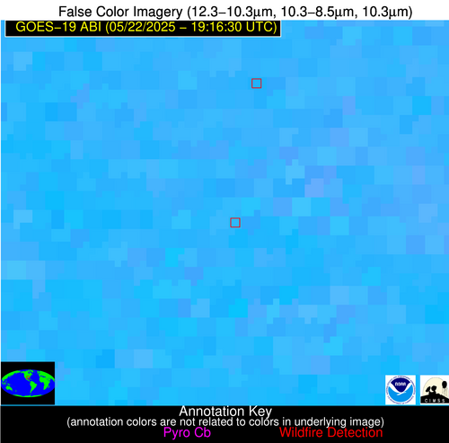
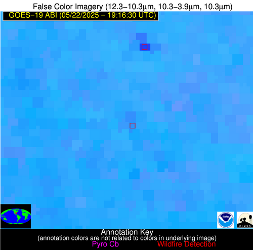
| Latest Satellite Imagery: | |
| View all event imagery » | |
