Wildfire Alert Report
| Date: | 2025-05-21 |
|---|---|
| Time: | 20:41:17 |
| Production Date and Time: | 2025-05-21 20:46:16 UTC |
| Primary Instrument: | GOES-19 ABI |
| Wmo Spacecraft Id: | 666 |
| Location/orbit: | GEO |
| L1 File: | OR_ABI-L1b-RadC-M6C14_G19_s20251412041173_e20251412043546_c20251412044006.nc |
| L1 File(s) - Temporal | OR_ABI-L1b-RadC-M6C14_G19_s20251412036173_e20251412038546_c20251412039031.nc |
| Number Of Thermal Anomaly Alerts: | 6 |
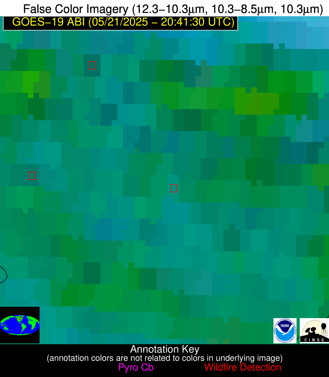
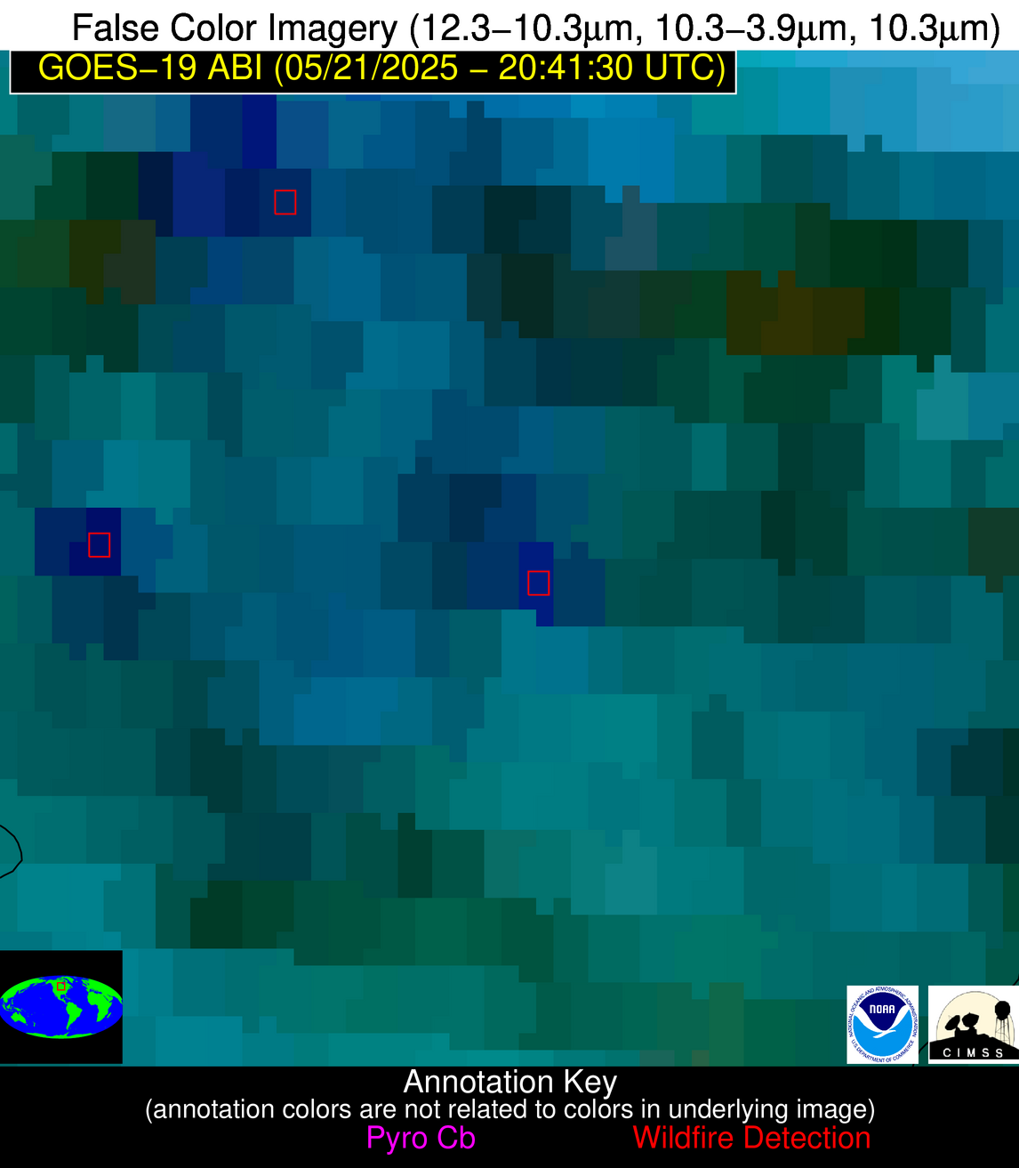
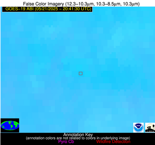
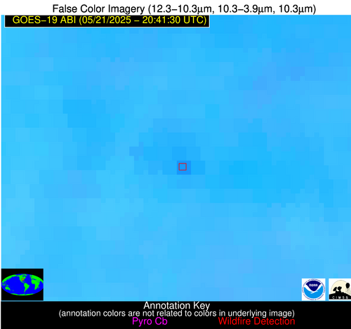
Possible Wildfire
| Basic Information | |
|---|---|
| State/Province(s) | Manitoba |
| Country/Countries | Canada |
| County/Locality(s) | Division No. 19, Manitoba |
| NWS WFO | N/A |
| Identification Method | Enhanced Contextual (Cloud) |
| Mean Object Date/Time | 2025-05-21 20:41:21UTC |
| Radiative Center (Lat, Lon): | 50.536110°, -95.363609° |
| Nearby Counties (meeting alert criteria): |
|
| Total Radiative Power Anomaly | n/a |
| Total Radiative Power | 59.79 MW |
| Map: | |
| Additional Information | |
| Alert Status | New Feature |
| Type of Event | Nominal Risk |
| Event Priority Ranking | 4 |
| Maximum Observed BT (3.9 um) | 294.05 K |
| Observed - Background BT (3.9 um) | 10.79 K |
| BT Anomaly (3.9 um) | 3.85 K |
| Maximum Observed - Clear RTM BT (3.9 um) | 7.50 K |
| Maximum Observed BTD (3.9-10/11/12 um) | 32.50 K |
| Observed - Background BTD (3.9-10/11/12 um) | 10.37 K |
| BTD Anomaly (3.9-10/11/12 um) | 3.76 K |
| Similar Pixel Count | 0 |
| BT Time Tendency (3.9 um) | 9.30 K |
| Image Interval | 5.00 minutes |
| Fraction of Surrounding LWIR Pixels that are Colder | 0.73 |
| Fraction of Surrounding Red Channel Pixels that are Brighter | 1.00 |
| Maximum Radiative Power | 59.79 MW |
| Maximum Radiative Power Uncertainty | 0.00 MW |
| Total Radiative Power Uncertainty | 0.00 MW |
| Mean Viewing Angle | 61.30° |
| Mean Solar Zenith Angle | 41.60° |
| Mean Glint Angle | 74.10° |
| Water Fraction | 0.00 |
| Total Pixel Area | 8.30 km2 |
| Latest Satellite Imagery: | |
| View all event imagery » | |
Possible Wildfire
| Basic Information | |
|---|---|
| State/Province(s) | KS |
| Country/Countries | United States |
| County/Locality(s) | Edwards County, KS |
| NWS WFO | Dodge City KS |
| Identification Method | Enhanced Contextual (Clear) |
| Mean Object Date/Time | 2025-05-21 20:41:50UTC |
| Radiative Center (Lat, Lon): | 37.936943°, -99.044724° |
| Nearby Counties (meeting alert criteria): |
|
| Total Radiative Power Anomaly | n/a |
| Total Radiative Power | 9.43 MW |
| Map: | |
| Additional Information | |
| Alert Status | New Feature |
| Type of Event | Nominal Risk |
| Event Priority Ranking | 4 |
| Maximum Observed BT (3.9 um) | 312.01 K |
| Observed - Background BT (3.9 um) | 3.15 K |
| BT Anomaly (3.9 um) | 1.72 K |
| Maximum Observed - Clear RTM BT (3.9 um) | 14.82 K |
| Maximum Observed BTD (3.9-10/11/12 um) | 13.39 K |
| Observed - Background BTD (3.9-10/11/12 um) | 2.60 K |
| BTD Anomaly (3.9-10/11/12 um) | 2.65 K |
| Similar Pixel Count | 24 |
| BT Time Tendency (3.9 um) | 1.00 K |
| Image Interval | 5.00 minutes |
| Fraction of Surrounding LWIR Pixels that are Colder | 0.74 |
| Fraction of Surrounding Red Channel Pixels that are Brighter | 0.99 |
| Maximum Radiative Power | 9.43 MW |
| Maximum Radiative Power Uncertainty | 0.00 MW |
| Total Radiative Power Uncertainty | 0.00 MW |
| Mean Viewing Angle | 50.80° |
| Mean Solar Zenith Angle | 33.10° |
| Mean Glint Angle | 51.80° |
| Water Fraction | 0.00 |
| Total Pixel Area | 6.30 km2 |
| Latest Satellite Imagery: | |
| View all event imagery » | |
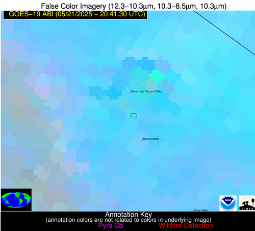
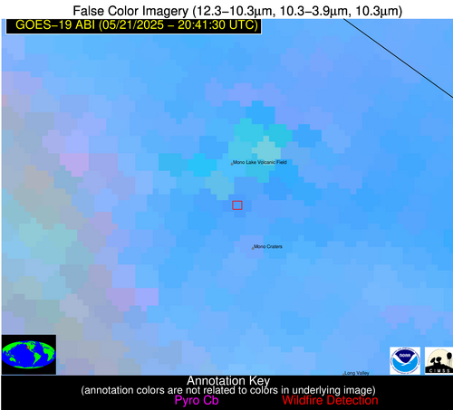
Possible Wildfire
| Basic Information | |
|---|---|
| State/Province(s) | CA |
| Country/Countries | United States |
| County/Locality(s) | Mono County, CA |
| NWS WFO | Reno NV |
| Identification Method | Enhanced Contextual (Clear) |
| Mean Object Date/Time | 2025-05-21 20:41:48UTC |
| Radiative Center (Lat, Lon): | 37.941113°, -119.022224° |
| Nearby Counties (meeting alert criteria): |
|
| Total Radiative Power Anomaly | n/a |
| Total Radiative Power | 20.65 MW |
| Map: | |
| Additional Information | |
| Alert Status | New Feature |
| Type of Event | Nominal Risk |
| Event Priority Ranking | 4 |
| Maximum Observed BT (3.9 um) | 311.49 K |
| Observed - Background BT (3.9 um) | 2.93 K |
| BT Anomaly (3.9 um) | 1.85 K |
| Maximum Observed - Clear RTM BT (3.9 um) | 9.16 K |
| Maximum Observed BTD (3.9-10/11/12 um) | 11.20 K |
| Observed - Background BTD (3.9-10/11/12 um) | 3.12 K |
| BTD Anomaly (3.9-10/11/12 um) | 6.37 K |
| Similar Pixel Count | 18 |
| BT Time Tendency (3.9 um) | 1.40 K |
| Image Interval | 5.00 minutes |
| Fraction of Surrounding LWIR Pixels that are Colder | 0.60 |
| Fraction of Surrounding Red Channel Pixels that are Brighter | 0.61 |
| Maximum Radiative Power | 20.65 MW |
| Maximum Radiative Power Uncertainty | 0.00 MW |
| Total Radiative Power Uncertainty | 0.00 MW |
| Mean Viewing Angle | 63.50° |
| Mean Solar Zenith Angle | 20.80° |
| Mean Glint Angle | 64.90° |
| Water Fraction | 0.00 |
| Total Pixel Area | 9.00 km2 |
| Latest Satellite Imagery: | |
| View all event imagery » | |
Possible Wildfire
| Basic Information | |
|---|---|
| State/Province(s) | TN |
| Country/Countries | United States |
| County/Locality(s) | McNairy County, TN |
| NWS WFO | Memphis TN |
| Identification Method | Enhanced Contextual (Clear) |
| Mean Object Date/Time | 2025-05-21 20:42:21UTC |
| Radiative Center (Lat, Lon): | 35.278057°, -88.684723° |
| Nearby Counties (meeting alert criteria): |
|
| Total Radiative Power Anomaly | n/a |
| Total Radiative Power | 6.35 MW |
| Map: | |
| Additional Information | |
| Alert Status | New Feature |
| Type of Event | Nominal Risk |
| Event Priority Ranking | 4 |
| Maximum Observed BT (3.9 um) | 301.31 K |
| Observed - Background BT (3.9 um) | 2.38 K |
| BT Anomaly (3.9 um) | 2.34 K |
| Maximum Observed - Clear RTM BT (3.9 um) | 9.38 K |
| Maximum Observed BTD (3.9-10/11/12 um) | 7.44 K |
| Observed - Background BTD (3.9-10/11/12 um) | 2.17 K |
| BTD Anomaly (3.9-10/11/12 um) | 3.70 K |
| Similar Pixel Count | 22 |
| BT Time Tendency (3.9 um) | 2.00 K |
| Image Interval | 5.00 minutes |
| Fraction of Surrounding LWIR Pixels that are Colder | 0.74 |
| Fraction of Surrounding Red Channel Pixels that are Brighter | 1.00 |
| Maximum Radiative Power | 6.35 MW |
| Maximum Radiative Power Uncertainty | 0.00 MW |
| Total Radiative Power Uncertainty | 0.00 MW |
| Mean Viewing Angle | 43.60° |
| Mean Solar Zenith Angle | 40.30° |
| Mean Glint Angle | 49.90° |
| Water Fraction | 0.00 |
| Total Pixel Area | 5.50 km2 |
| Latest Satellite Imagery: | |
| View all event imagery » | |
Possible Wildfire
| Basic Information | |
|---|---|
| State/Province(s) | AR |
| Country/Countries | United States |
| County/Locality(s) | Woodruff County, AR |
| NWS WFO | Little Rock AR |
| Identification Method | Enhanced Contextual (Clear) |
| Mean Object Date/Time | 2025-05-21 20:42:21UTC |
| Radiative Center (Lat, Lon): | 35.197498°, -91.164719° |
| Nearby Counties (meeting alert criteria): |
|
| Total Radiative Power Anomaly | n/a |
| Total Radiative Power | 18.48 MW |
| Map: | |
| Additional Information | |
| Alert Status | New Feature |
| Type of Event | Nominal Risk |
| Event Priority Ranking | 4 |
| Maximum Observed BT (3.9 um) | 307.64 K |
| Observed - Background BT (3.9 um) | 5.63 K |
| BT Anomaly (3.9 um) | 5.14 K |
| Maximum Observed - Clear RTM BT (3.9 um) | 11.46 K |
| Maximum Observed BTD (3.9-10/11/12 um) | 13.43 K |
| Observed - Background BTD (3.9-10/11/12 um) | 5.94 K |
| BTD Anomaly (3.9-10/11/12 um) | 7.57 K |
| Similar Pixel Count | 10 |
| BT Time Tendency (3.9 um) | 1.40 K |
| Image Interval | 5.00 minutes |
| Fraction of Surrounding LWIR Pixels that are Colder | 0.17 |
| Fraction of Surrounding Red Channel Pixels that are Brighter | 0.88 |
| Maximum Radiative Power | 18.48 MW |
| Maximum Radiative Power Uncertainty | 0.00 MW |
| Total Radiative Power Uncertainty | 0.00 MW |
| Mean Viewing Angle | 44.50° |
| Mean Solar Zenith Angle | 38.30° |
| Mean Glint Angle | 48.40° |
| Water Fraction | 0.00 |
| Total Pixel Area | 5.60 km2 |
| Latest Satellite Imagery: | |
| View all event imagery » | |
Possible Wildfire
| Basic Information | |
|---|---|
| State/Province(s) | FL |
| Country/Countries | United States |
| County/Locality(s) | Indian River County, FL |
| NWS WFO | Melbourne FL |
| Identification Method | Enhanced Contextual (Cloud) |
| Mean Object Date/Time | 2025-05-21 20:42:52UTC |
| Radiative Center (Lat, Lon): | 27.819445°, -80.835831° |
| Nearby Counties (meeting alert criteria): |
|
| Total Radiative Power Anomaly | n/a |
| Total Radiative Power | 203.13 MW |
| Map: | |
| Additional Information | |
| Alert Status | New Feature |
| Type of Event | Nominal Risk |
| Event Priority Ranking | 4 |
| Maximum Observed BT (3.9 um) | 327.86 K |
| Observed - Background BT (3.9 um) | 20.56 K |
| BT Anomaly (3.9 um) | 10.72 K |
| Maximum Observed - Clear RTM BT (3.9 um) | 24.46 K |
| Maximum Observed BTD (3.9-10/11/12 um) | 32.31 K |
| Observed - Background BTD (3.9-10/11/12 um) | 19.93 K |
| BTD Anomaly (3.9-10/11/12 um) | 13.19 K |
| Similar Pixel Count | 0 |
| BT Time Tendency (3.9 um) | 16.30 K |
| Image Interval | 5.00 minutes |
| Fraction of Surrounding LWIR Pixels that are Colder | 0.88 |
| Fraction of Surrounding Red Channel Pixels that are Brighter | 1.00 |
| Maximum Radiative Power | 109.62 MW |
| Maximum Radiative Power Uncertainty | 0.00 MW |
| Total Radiative Power Uncertainty | 0.00 MW |
| Mean Viewing Angle | 33.20° |
| Mean Solar Zenith Angle | 46.40° |
| Mean Glint Angle | 47.80° |
| Water Fraction | 0.00 |
| Total Pixel Area | 14.30 km2 |
| Latest Satellite Imagery: | |
| View all event imagery » | |
