Wildfire Alert Report
| Date: | 2025-05-20 |
|---|---|
| Time: | 19:06:17 |
| Production Date and Time: | 2025-05-20 19:11:19 UTC |
| Primary Instrument: | GOES-19 ABI |
| Wmo Spacecraft Id: | 666 |
| Location/orbit: | GEO |
| L1 File: | OR_ABI-L1b-RadC-M6C14_G19_s20251401906172_e20251401908545_c20251401909001.nc |
| L1 File(s) - Temporal | OR_ABI-L1b-RadC-M6C14_G19_s20251401901172_e20251401903545_c20251401904028.nc |
| Number Of Thermal Anomaly Alerts: | 2 |
Possible Wildfire
| Basic Information | |
|---|---|
| State/Province(s) | GA |
| Country/Countries | United States |
| County/Locality(s) | Telfair County, GA |
| NWS WFO | Peachtree City GA |
| Identification Method | Enhanced Contextual (Clear) |
| Mean Object Date/Time | 2025-05-20 19:07:22UTC |
| Radiative Center (Lat, Lon): | 31.917500°, -83.001663° |
| Nearby Counties (meeting alert criteria): |
|
| Total Radiative Power Anomaly | n/a |
| Total Radiative Power | 3.61 MW |
| Map: | |
| Additional Information | |
| Alert Status | New Feature |
| Type of Event | Nominal Risk |
| Event Priority Ranking | 4 |
| Maximum Observed BT (3.9 um) | 309.46 K |
| Observed - Background BT (3.9 um) | 1.81 K |
| BT Anomaly (3.9 um) | 1.04 K |
| Maximum Observed - Clear RTM BT (3.9 um) | 7.04 K |
| Maximum Observed BTD (3.9-10/11/12 um) | 10.96 K |
| Observed - Background BTD (3.9-10/11/12 um) | 1.37 K |
| BTD Anomaly (3.9-10/11/12 um) | 1.20 K |
| Similar Pixel Count | 25 |
| BT Time Tendency (3.9 um) | 0.70 K |
| Image Interval | 5.00 minutes |
| Fraction of Surrounding LWIR Pixels that are Colder | 0.67 |
| Fraction of Surrounding Red Channel Pixels that are Brighter | 1.00 |
| Maximum Radiative Power | 3.61 MW |
| Maximum Radiative Power Uncertainty | 0.00 MW |
| Total Radiative Power Uncertainty | 0.00 MW |
| Mean Viewing Angle | 38.30° |
| Mean Solar Zenith Angle | 25.10° |
| Mean Glint Angle | 47.70° |
| Water Fraction | 0.00 |
| Total Pixel Area | 5.10 km2 |
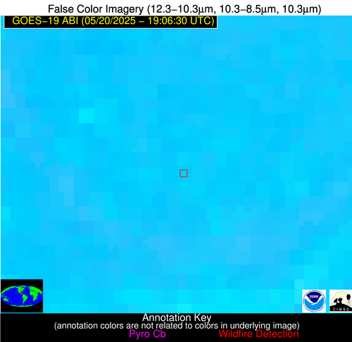
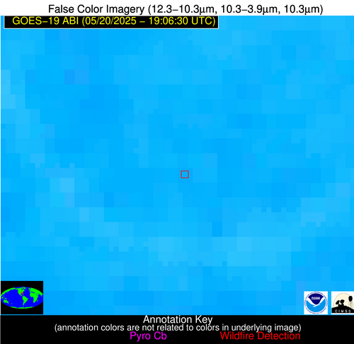
| Latest Satellite Imagery: | |
| View all event imagery » | |
Possible Wildfire
| Basic Information | |
|---|---|
| State/Province(s) | FL |
| Country/Countries | United States |
| County/Locality(s) | Broward County, FL |
| NWS WFO | Miami FL |
| Identification Method | Enhanced Contextual (Clear) |
| Mean Object Date/Time | 2025-05-20 19:07:52UTC |
| Radiative Center (Lat, Lon): | 26.337223°, -80.250000° |
| Nearby Counties (meeting alert criteria): |
|
| Total Radiative Power Anomaly | n/a |
| Total Radiative Power | 8.15 MW |
| Map: | |
| Additional Information | |
| Alert Status | New Feature |
| Type of Event | Nominal Risk |
| Event Priority Ranking | 4 |
| Maximum Observed BT (3.9 um) | 315.89 K |
| Observed - Background BT (3.9 um) | 1.97 K |
| BT Anomaly (3.9 um) | 0.64 K |
| Maximum Observed - Clear RTM BT (3.9 um) | 9.40 K |
| Maximum Observed BTD (3.9-10/11/12 um) | 17.51 K |
| Observed - Background BTD (3.9-10/11/12 um) | 2.36 K |
| BTD Anomaly (3.9-10/11/12 um) | 1.24 K |
| Similar Pixel Count | 25 |
| BT Time Tendency (3.9 um) | 1.10 K |
| Image Interval | 5.00 minutes |
| Fraction of Surrounding LWIR Pixels that are Colder | 0.52 |
| Fraction of Surrounding Red Channel Pixels that are Brighter | 0.94 |
| Maximum Radiative Power | 8.15 MW |
| Maximum Radiative Power Uncertainty | 0.00 MW |
| Total Radiative Power Uncertainty | 0.00 MW |
| Mean Viewing Angle | 31.40° |
| Mean Solar Zenith Angle | 25.90° |
| Mean Glint Angle | 39.00° |
| Water Fraction | 0.00 |
| Total Pixel Area | 4.70 km2 |
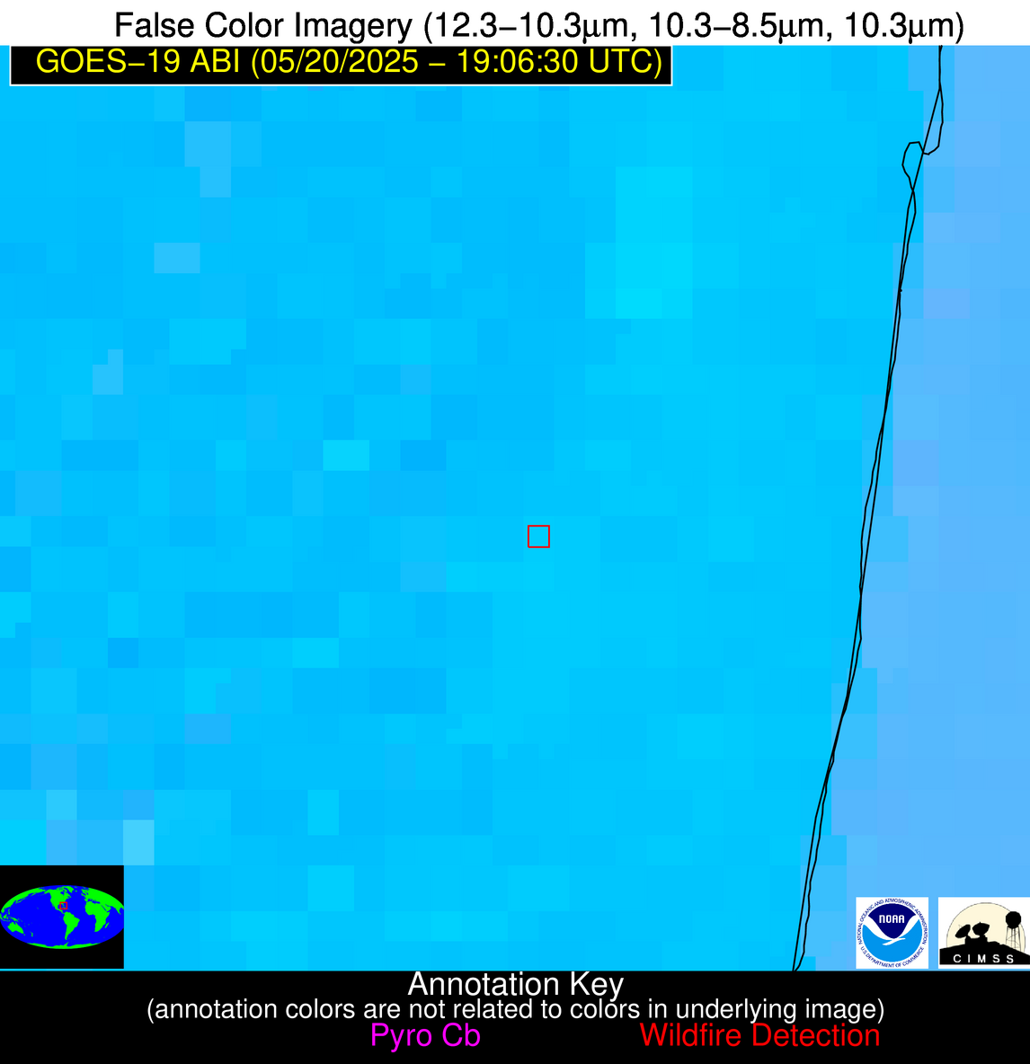
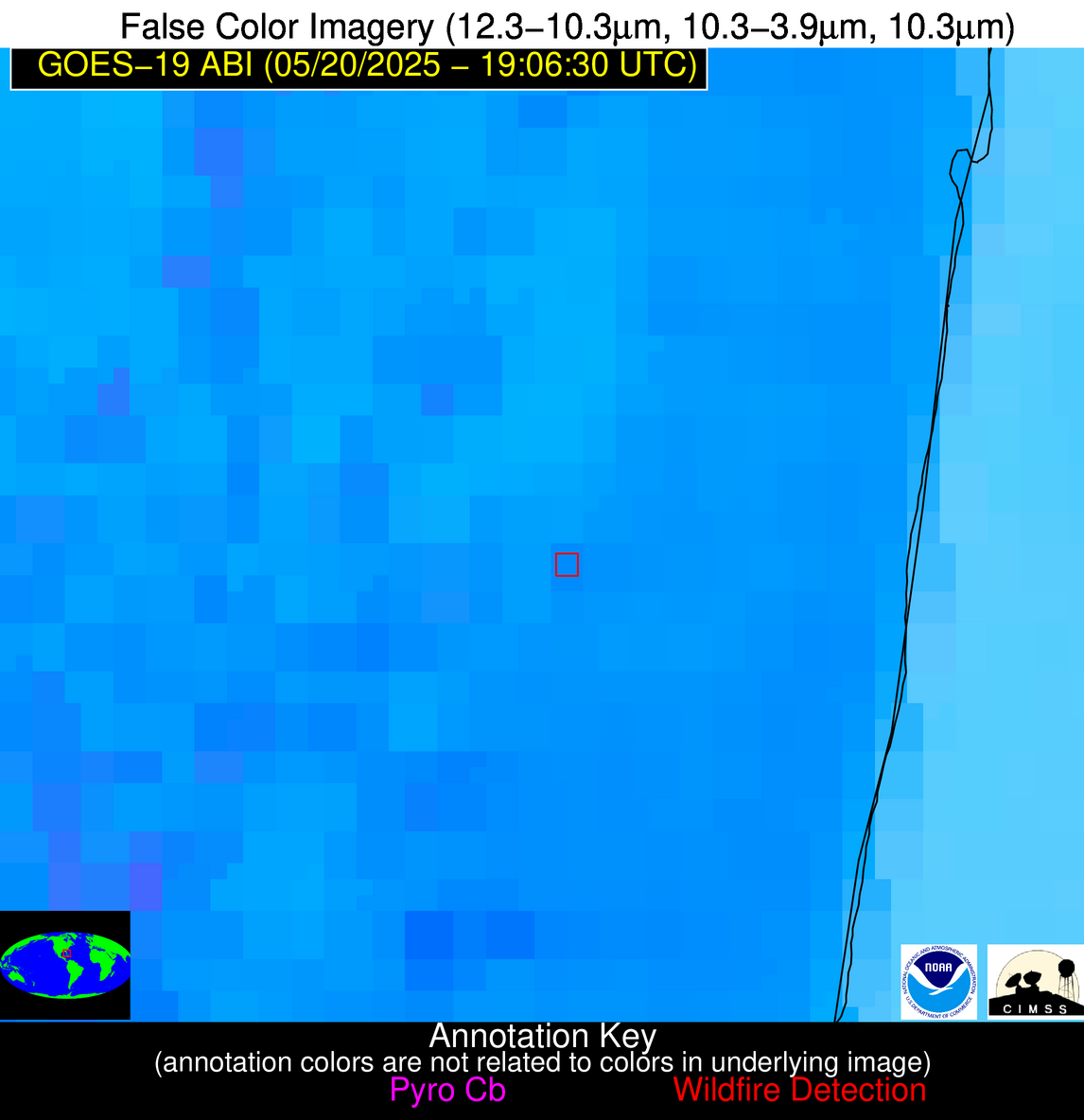
| Latest Satellite Imagery: | |
| View all event imagery » | |


