Wildfire Alert Report
| Date: | 2025-05-16 |
|---|---|
| Time: | 01:31:17 |
| Production Date and Time: | 2025-05-16 01:36:10 UTC |
| Primary Instrument: | GOES-19 ABI |
| Wmo Spacecraft Id: | 666 |
| Location/orbit: | GEO |
| L1 File: | OR_ABI-L1b-RadC-M6C14_G19_s20251360131179_e20251360133552_c20251360134058.nc |
| L1 File(s) - Temporal | OR_ABI-L1b-RadC-M6C14_G19_s20251360126179_e20251360128552_c20251360129050.nc |
| Number Of Thermal Anomaly Alerts: | 3 |
Possible Wildfire
| Basic Information | |
|---|---|
| State/Province(s) | OK |
| Country/Countries | United States |
| County/Locality(s) | Cherokee County, OK |
| NWS WFO | Tulsa OK |
| Identification Method | Enhanced Contextual (Clear) |
| Mean Object Date/Time | 2025-05-16 01:32:20UTC |
| Radiative Center (Lat, Lon): | 36.005280°, -95.169167° |
| Nearby Counties (meeting alert criteria): |
|
| Total Radiative Power Anomaly | n/a |
| Total Radiative Power | 14.56 MW |
| Map: | |
| Additional Information | |
| Alert Status | New Feature |
| Type of Event | Nominal Risk |
| Event Priority Ranking | 4 |
| Maximum Observed BT (3.9 um) | 294.00 K |
| Observed - Background BT (3.9 um) | 6.10 K |
| BT Anomaly (3.9 um) | 9.89 K |
| Maximum Observed - Clear RTM BT (3.9 um) | 4.78 K |
| Maximum Observed BTD (3.9-10/11/12 um) | 8.74 K |
| Observed - Background BTD (3.9-10/11/12 um) | 5.35 K |
| BTD Anomaly (3.9-10/11/12 um) | 6.91 K |
| Similar Pixel Count | 10 |
| BT Time Tendency (3.9 um) | 6.10 K |
| Image Interval | 5.00 minutes |
| Fraction of Surrounding LWIR Pixels that are Colder | 0.96 |
| Fraction of Surrounding Red Channel Pixels that are Brighter | 1.00 |
| Maximum Radiative Power | 14.56 MW |
| Maximum Radiative Power Uncertainty | 0.00 MW |
| Total Radiative Power Uncertainty | 0.00 MW |
| Mean Viewing Angle | 47.10° |
| Mean Solar Zenith Angle | 93.10° |
| Mean Glint Angle | 54.40° |
| Water Fraction | 0.00 |
| Total Pixel Area | 5.90 km2 |
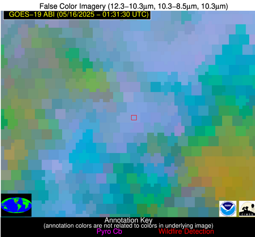
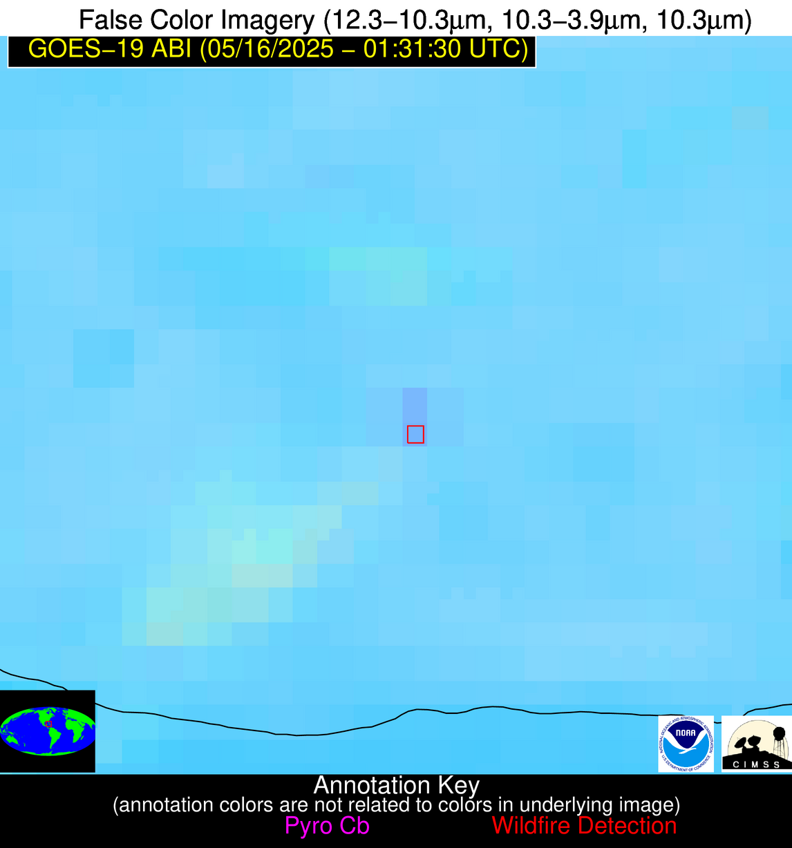
| Latest Satellite Imagery: | |
| View all event imagery » | |
Possible Wildfire
| Basic Information | |
|---|---|
| State/Province(s) | TX |
| Country/Countries | United States |
| County/Locality(s) | Schleicher County, TX |
| NWS WFO | San Angelo TX |
| Identification Method | Enhanced Contextual (Clear) |
| Mean Object Date/Time | 2025-05-16 01:32:19UTC |
| Radiative Center (Lat, Lon): | 30.749722°, -100.819725° |
| Nearby Counties (meeting alert criteria): |
|
| Total Radiative Power Anomaly | n/a |
| Total Radiative Power | 25.13 MW |
| Map: | |
| Additional Information | |
| Alert Status | New Feature |
| Type of Event | Nominal Risk |
| Event Priority Ranking | 4 |
| Maximum Observed BT (3.9 um) | 302.95 K |
| Observed - Background BT (3.9 um) | 9.06 K |
| BT Anomaly (3.9 um) | 8.12 K |
| Maximum Observed - Clear RTM BT (3.9 um) | 4.00 K |
| Maximum Observed BTD (3.9-10/11/12 um) | 12.91 K |
| Observed - Background BTD (3.9-10/11/12 um) | 9.63 K |
| BTD Anomaly (3.9-10/11/12 um) | 15.49 K |
| Similar Pixel Count | 2 |
| BT Time Tendency (3.9 um) | 0.80 K |
| Image Interval | 5.00 minutes |
| Fraction of Surrounding LWIR Pixels that are Colder | 0.36 |
| Fraction of Surrounding Red Channel Pixels that are Brighter | 1.00 |
| Maximum Radiative Power | 25.13 MW |
| Maximum Radiative Power Uncertainty | 0.00 MW |
| Total Radiative Power Uncertainty | 0.00 MW |
| Mean Viewing Angle | 45.60° |
| Mean Solar Zenith Angle | 91.00° |
| Mean Glint Angle | 50.20° |
| Water Fraction | 0.00 |
| Total Pixel Area | 5.70 km2 |
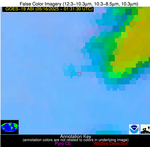
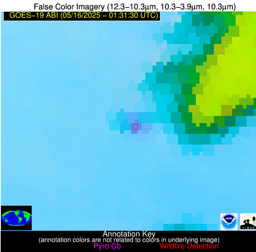
| Latest Satellite Imagery: | |
| View all event imagery » | |
Possible Wildfire
| Basic Information | |
|---|---|
| State/Province(s) | Unknown |
| Country/Countries | Cuba |
| County/Locality(s) | Unknown, Unknown |
| NWS WFO | N/A |
| Identification Method | Enhanced Contextual (Clear) |
| Mean Object Date/Time | 2025-05-16 01:33:22UTC |
| Radiative Center (Lat, Lon): | 22.253611°, -80.809448° |
| Nearby Counties (meeting alert criteria): |
|
| Total Radiative Power Anomaly | n/a |
| Total Radiative Power | 20.05 MW |
| Map: | |
| Additional Information | |
| Alert Status | New Feature |
| Type of Event | Nominal Risk |
| Event Priority Ranking | 4 |
| Maximum Observed BT (3.9 um) | 299.49 K |
| Observed - Background BT (3.9 um) | 4.25 K |
| BT Anomaly (3.9 um) | 3.46 K |
| Maximum Observed - Clear RTM BT (3.9 um) | 3.63 K |
| Maximum Observed BTD (3.9-10/11/12 um) | 7.21 K |
| Observed - Background BTD (3.9-10/11/12 um) | 4.51 K |
| BTD Anomaly (3.9-10/11/12 um) | 8.04 K |
| Similar Pixel Count | 2 |
| BT Time Tendency (3.9 um) | 4.50 K |
| Image Interval | 5.00 minutes |
| Fraction of Surrounding LWIR Pixels that are Colder | 0.32 |
| Fraction of Surrounding Red Channel Pixels that are Brighter | 1.00 |
| Maximum Radiative Power | 10.49 MW |
| Maximum Radiative Power Uncertainty | 0.00 MW |
| Total Radiative Power Uncertainty | 0.00 MW |
| Mean Viewing Angle | 26.90° |
| Mean Solar Zenith Angle | 110.70° |
| Mean Glint Angle | 90.50° |
| Water Fraction | 0.00 |
| Total Pixel Area | 9.00 km2 |
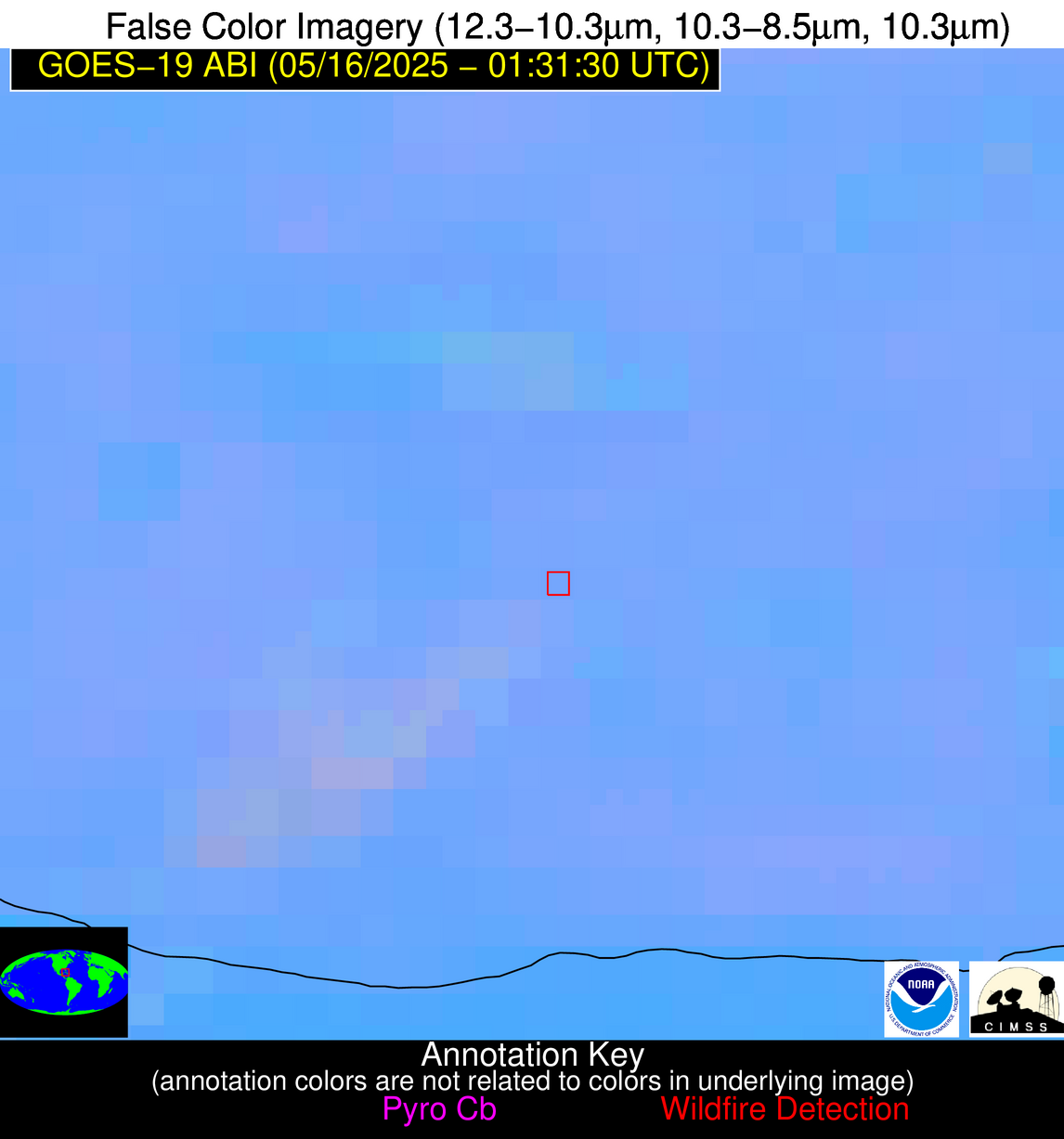
| Latest Satellite Imagery: | |
| View all event imagery » | |
