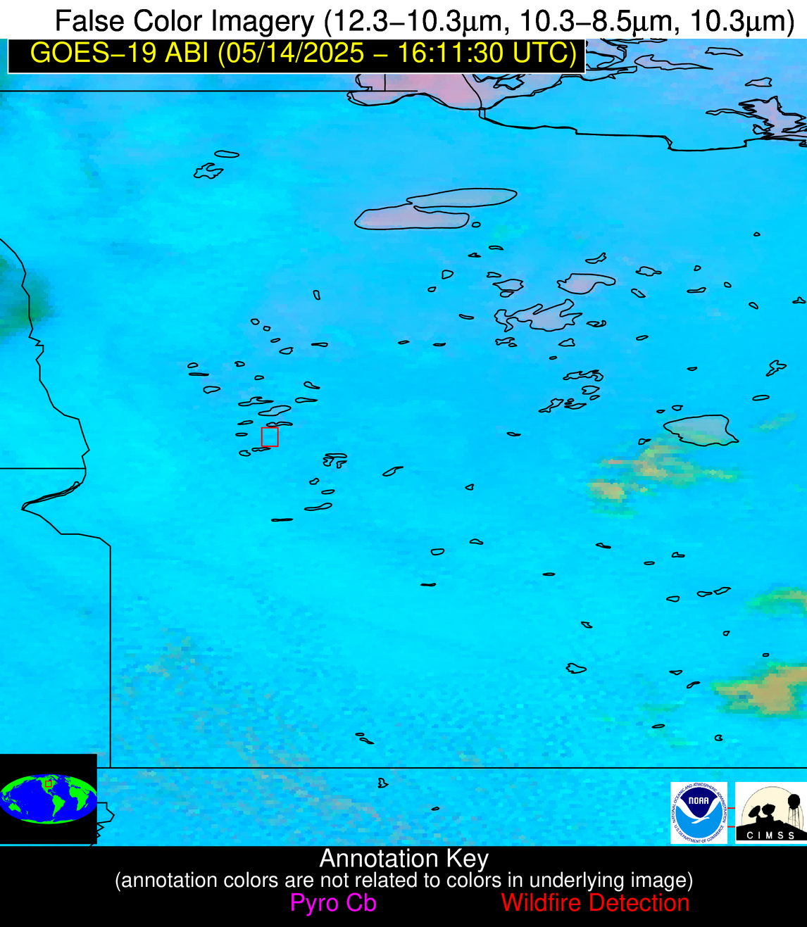
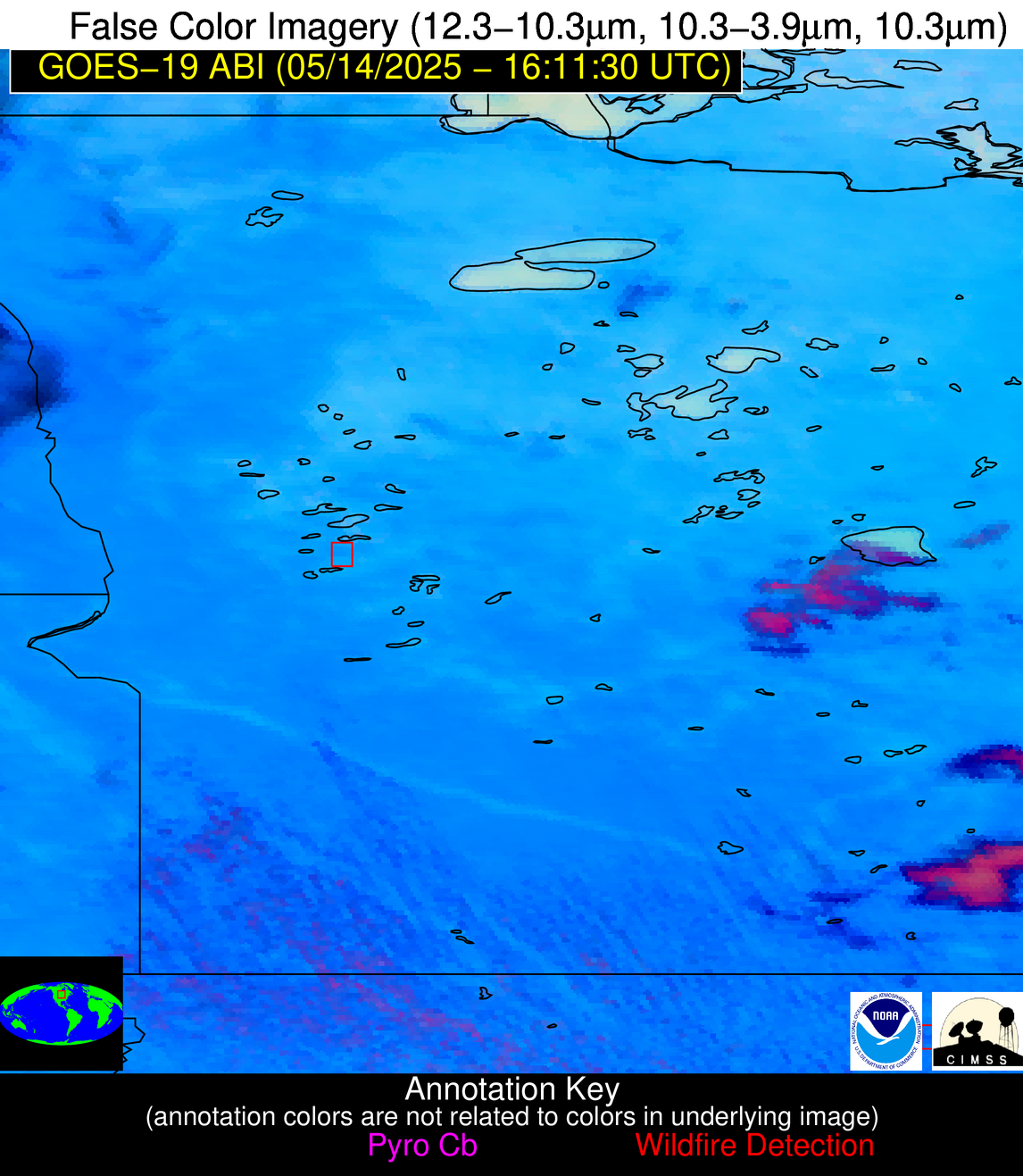
Wildfire Alert Report
| Date: | 2025-05-14 |
|---|---|
| Time: | 16:11:17 |
| Production Date and Time: | 2025-05-14 16:16:19 UTC |
| Primary Instrument: | GOES-19 ABI |
| Wmo Spacecraft Id: | 666 |
| Location/orbit: | GEO |
| L1 File: | OR_ABI-L1b-RadC-M6C14_G19_s20251341611178_e20251341613551_c20251341614033.nc |
| L1 File(s) - Temporal | OR_ABI-L1b-RadC-M6C14_G19_s20251341606178_e20251341608551_c20251341609046.nc |
| Number Of Thermal Anomaly Alerts: | 4 |
Possible Wildfire
| Basic Information | |
|---|---|
| State/Province(s) | Manitoba |
| Country/Countries | Canada |
| County/Locality(s) | Division No. 1, Manitoba |
| NWS WFO | N/A |
| Identification Method | Enhanced Contextual (Clear) |
| Mean Object Date/Time | 2025-05-14 16:11:21UTC |
| Radiative Center (Lat, Lon): | 49.151943°, -96.588058° |
| Nearby Counties (meeting alert criteria): |
|
| Total Radiative Power Anomaly | n/a |
| Total Radiative Power | 7.50 MW |
| Map: | |
| Additional Information | |
| Alert Status | New Feature |
| Type of Event | Nominal Risk |
| Event Priority Ranking | 4 |
| Maximum Observed BT (3.9 um) | 306.67 K |
| Observed - Background BT (3.9 um) | 3.81 K |
| BT Anomaly (3.9 um) | 2.59 K |
| Maximum Observed - Clear RTM BT (3.9 um) | 10.02 K |
| Maximum Observed BTD (3.9-10/11/12 um) | 14.07 K |
| Observed - Background BTD (3.9-10/11/12 um) | 3.94 K |
| BTD Anomaly (3.9-10/11/12 um) | 3.87 K |
| Similar Pixel Count | 25 |
| BT Time Tendency (3.9 um) | 0.70 K |
| Image Interval | 5.00 minutes |
| Fraction of Surrounding LWIR Pixels that are Colder | 0.64 |
| Fraction of Surrounding Red Channel Pixels that are Brighter | 1.00 |
| Maximum Radiative Power | 7.50 MW |
| Maximum Radiative Power Uncertainty | 0.00 MW |
| Total Radiative Power Uncertainty | 0.00 MW |
| Mean Viewing Angle | 60.30° |
| Mean Solar Zenith Angle | 40.40° |
| Mean Glint Angle | 97.70° |
| Water Fraction | 0.00 |
| Total Pixel Area | 8.10 km2 |
| Latest Satellite Imagery: | |
| View all event imagery » | |
Possible Wildfire
| Basic Information | |
|---|---|
| State/Province(s) | MN |
| Country/Countries | United States |
| County/Locality(s) | Otter Tail County, MN |
| NWS WFO | Grand Forks ND |
| Identification Method | Enhanced Contextual (Clear) |
| Mean Object Date/Time | 2025-05-14 16:11:20UTC |
| Radiative Center (Lat, Lon): | 46.188610°, -95.697220° |
| Nearby Counties (meeting alert criteria): |
|
| Total Radiative Power Anomaly | n/a |
| Total Radiative Power | 4.75 MW |
| Map: | |
| Additional Information | |
| Alert Status | New Feature |
| Type of Event | Nominal Risk |
| Event Priority Ranking | 4 |
| Maximum Observed BT (3.9 um) | 309.46 K |
| Observed - Background BT (3.9 um) | 1.85 K |
| BT Anomaly (3.9 um) | 0.75 K |
| Maximum Observed - Clear RTM BT (3.9 um) | 12.75 K |
| Maximum Observed BTD (3.9-10/11/12 um) | 15.31 K |
| Observed - Background BTD (3.9-10/11/12 um) | 1.58 K |
| BTD Anomaly (3.9-10/11/12 um) | 1.08 K |
| Similar Pixel Count | 25 |
| BT Time Tendency (3.9 um) | 0.80 K |
| Image Interval | 5.00 minutes |
| Fraction of Surrounding LWIR Pixels that are Colder | 0.63 |
| Fraction of Surrounding Red Channel Pixels that are Brighter | 0.98 |
| Maximum Radiative Power | 4.75 MW |
| Maximum Radiative Power Uncertainty | 0.00 MW |
| Total Radiative Power Uncertainty | 0.00 MW |
| Mean Viewing Angle | 57.20° |
| Mean Solar Zenith Angle | 38.20° |
| Mean Glint Angle | 92.10° |
| Water Fraction | 0.00 |
| Total Pixel Area | 7.40 km2 |
| Latest Satellite Imagery: | |
| View all event imagery » | |
Possible Wildfire
| Basic Information | |
|---|---|
| State/Province(s) | IA |
| Country/Countries | United States |
| County/Locality(s) | Hancock County, IA |
| NWS WFO | Des Moines IA |
| Identification Method | Enhanced Contextual (Clear) |
| Mean Object Date/Time | 2025-05-14 16:11:21UTC |
| Radiative Center (Lat, Lon): | 43.097778°, -93.502220° |
| Nearby Counties (meeting alert criteria): |
|
| Total Radiative Power Anomaly | n/a |
| Total Radiative Power | 29.59 MW |
| Map: | |
| Additional Information | |
| Alert Status | New Feature |
| Type of Event | Nominal Risk |
| Event Priority Ranking | 4 |
| Maximum Observed BT (3.9 um) | 315.96 K |
| Observed - Background BT (3.9 um) | 4.72 K |
| BT Anomaly (3.9 um) | 3.78 K |
| Maximum Observed - Clear RTM BT (3.9 um) | 20.21 K |
| Maximum Observed BTD (3.9-10/11/12 um) | 24.60 K |
| Observed - Background BTD (3.9-10/11/12 um) | 4.71 K |
| BTD Anomaly (3.9-10/11/12 um) | 4.79 K |
| Similar Pixel Count | 25 |
| BT Time Tendency (3.9 um) | 3.80 K |
| Image Interval | 5.00 minutes |
| Fraction of Surrounding LWIR Pixels that are Colder | 0.63 |
| Fraction of Surrounding Red Channel Pixels that are Brighter | 0.99 |
| Maximum Radiative Power | 29.59 MW |
| Maximum Radiative Power Uncertainty | 0.00 MW |
| Total Radiative Power Uncertainty | 0.00 MW |
| Mean Viewing Angle | 53.30° |
| Mean Solar Zenith Angle | 35.10° |
| Mean Glint Angle | 85.10° |
| Water Fraction | 0.00 |
| Total Pixel Area | 6.70 km2 |
| Latest Satellite Imagery: | |
| View all event imagery » | |
Possible Wildfire
| Basic Information | |
|---|---|
| State/Province(s) | CA |
| Country/Countries | United States |
| County/Locality(s) | Glenn County, CA |
| NWS WFO | Sacramento CA |
| Identification Method | Enhanced Contextual (Clear) |
| Mean Object Date/Time | 2025-05-14 16:11:48UTC |
| Radiative Center (Lat, Lon): | 39.657776°, -122.228889° |
| Nearby Counties (meeting alert criteria): |
|
| Total Radiative Power Anomaly | n/a |
| Total Radiative Power | 28.24 MW |
| Map: | |
| Additional Information | |
| Alert Status | New Feature |
| Type of Event | Nominal Risk |
| Event Priority Ranking | 4 |
| Maximum Observed BT (3.9 um) | 297.78 K |
| Observed - Background BT (3.9 um) | 5.06 K |
| BT Anomaly (3.9 um) | 2.83 K |
| Maximum Observed - Clear RTM BT (3.9 um) | 9.93 K |
| Maximum Observed BTD (3.9-10/11/12 um) | 13.56 K |
| Observed - Background BTD (3.9-10/11/12 um) | 5.63 K |
| BTD Anomaly (3.9-10/11/12 um) | 6.81 K |
| Similar Pixel Count | 7 |
| BT Time Tendency (3.9 um) | 2.90 K |
| Image Interval | 5.00 minutes |
| Fraction of Surrounding LWIR Pixels that are Colder | 0.18 |
| Fraction of Surrounding Red Channel Pixels that are Brighter | 0.96 |
| Maximum Radiative Power | 28.24 MW |
| Maximum Radiative Power Uncertainty | 0.00 MW |
| Total Radiative Power Uncertainty | 0.00 MW |
| Mean Viewing Angle | 66.70° |
| Mean Solar Zenith Angle | 54.20° |
| Mean Glint Angle | 116.20° |
| Water Fraction | 0.00 |
| Total Pixel Area | 10.10 km2 |
| Latest Satellite Imagery: | |
| View all event imagery » | |


