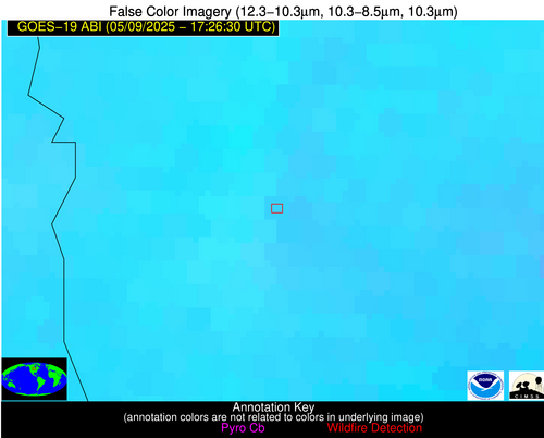
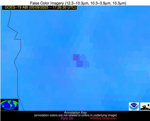
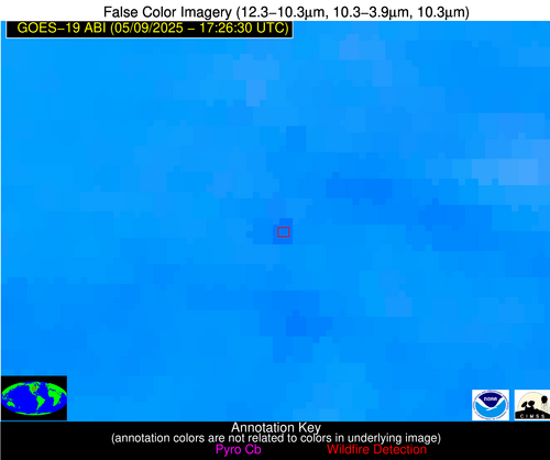
Wildfire Alert Report
| Date: | 2025-05-09 |
|---|---|
| Time: | 17:26:17 |
| Production Date and Time: | 2025-05-09 17:31:24 UTC |
| Primary Instrument: | GOES-19 ABI |
| Wmo Spacecraft Id: | 666 |
| Location/orbit: | GEO |
| L1 File: | OR_ABI-L1b-RadC-M6C14_G19_s20251291726173_e20251291728546_c20251291729036.nc |
| L1 File(s) - Temporal | OR_ABI-L1b-RadC-M6C14_G19_s20251291721173_e20251291723546_c20251291724037.nc |
| Number Of Thermal Anomaly Alerts: | 3 |
Possible Wildfire
| Basic Information | |
|---|---|
| State/Province(s) | MN |
| Country/Countries | United States |
| County/Locality(s) | Clay County, MN |
| NWS WFO | Grand Forks ND |
| Identification Method | Enhanced Contextual (Clear) |
| Mean Object Date/Time | 2025-05-09 17:26:20UTC |
| Radiative Center (Lat, Lon): | 46.839169°, -96.486115° |
| Nearby Counties (meeting alert criteria): |
|
| Total Radiative Power Anomaly | n/a |
| Total Radiative Power | 85.51 MW |
| Map: | |
| Additional Information | |
| Alert Status | New Feature |
| Type of Event | Nominal Risk |
| Event Priority Ranking | 4 |
| Maximum Observed BT (3.9 um) | 313.60 K |
| Observed - Background BT (3.9 um) | 5.81 K |
| BT Anomaly (3.9 um) | 3.42 K |
| Maximum Observed - Clear RTM BT (3.9 um) | 18.90 K |
| Maximum Observed BTD (3.9-10/11/12 um) | 18.36 K |
| Observed - Background BTD (3.9-10/11/12 um) | 6.37 K |
| BTD Anomaly (3.9-10/11/12 um) | 7.77 K |
| Similar Pixel Count | 13 |
| BT Time Tendency (3.9 um) | 6.20 K |
| Image Interval | 5.00 minutes |
| Fraction of Surrounding LWIR Pixels that are Colder | 0.18 |
| Fraction of Surrounding Red Channel Pixels that are Brighter | 1.00 |
| Maximum Radiative Power | 43.12 MW |
| Maximum Radiative Power Uncertainty | 0.00 MW |
| Total Radiative Power Uncertainty | 0.00 MW |
| Mean Viewing Angle | 58.00° |
| Mean Solar Zenith Angle | 31.80° |
| Mean Glint Angle | 89.90° |
| Water Fraction | 0.00 |
| Total Pixel Area | 15.10 km2 |
| Latest Satellite Imagery: | |
| View all event imagery » | |
Possible Wildfire
| Basic Information | |
|---|---|
| State/Province(s) | IA |
| Country/Countries | United States |
| County/Locality(s) | Hancock County, IA |
| NWS WFO | Des Moines IA |
| Identification Method | Enhanced Contextual (Clear) |
| Mean Object Date/Time | 2025-05-09 17:26:21UTC |
| Radiative Center (Lat, Lon): | 43.048889°, -93.736389° |
| Nearby Counties (meeting alert criteria): |
|
| Total Radiative Power Anomaly | n/a |
| Total Radiative Power | 34.88 MW |
| Map: | |
| Additional Information | |
| Alert Status | New Feature |
| Type of Event | Nominal Risk |
| Event Priority Ranking | 4 |
| Maximum Observed BT (3.9 um) | 321.77 K |
| Observed - Background BT (3.9 um) | 4.62 K |
| BT Anomaly (3.9 um) | 3.35 K |
| Maximum Observed - Clear RTM BT (3.9 um) | 23.49 K |
| Maximum Observed BTD (3.9-10/11/12 um) | 18.66 K |
| Observed - Background BTD (3.9-10/11/12 um) | 4.66 K |
| BTD Anomaly (3.9-10/11/12 um) | 4.41 K |
| Similar Pixel Count | 25 |
| BT Time Tendency (3.9 um) | 1.10 K |
| Image Interval | 5.00 minutes |
| Fraction of Surrounding LWIR Pixels that are Colder | 0.57 |
| Fraction of Surrounding Red Channel Pixels that are Brighter | 1.00 |
| Maximum Radiative Power | 34.88 MW |
| Maximum Radiative Power Uncertainty | 0.00 MW |
| Total Radiative Power Uncertainty | 0.00 MW |
| Mean Viewing Angle | 53.40° |
| Mean Solar Zenith Angle | 27.60° |
| Mean Glint Angle | 80.90° |
| Water Fraction | 0.00 |
| Total Pixel Area | 6.70 km2 |
| Latest Satellite Imagery: | |
| View all event imagery » | |
Possible Wildfire
| Basic Information | |
|---|---|
| State/Province(s) | Unknown |
| Country/Countries | Dominican Republic |
| County/Locality(s) | Unknown, Unknown |
| NWS WFO | N/A |
| Identification Method | Enhanced Contextual (Clear) |
| Mean Object Date/Time | 2025-05-09 17:28:53UTC |
| Radiative Center (Lat, Lon): | 17.939444°, -71.241386° |
| Nearby Counties (meeting alert criteria): |
|
| Total Radiative Power Anomaly | n/a |
| Total Radiative Power | 11.43 MW |
| Map: | |
| Additional Information | |
| Alert Status | New Feature |
| Type of Event | Nominal Risk |
| Event Priority Ranking | 4 |
| Maximum Observed BT (3.9 um) | 306.96 K |
| Observed - Background BT (3.9 um) | 3.78 K |
| BT Anomaly (3.9 um) | 1.19 K |
| Maximum Observed - Clear RTM BT (3.9 um) | 7.29 K |
| Maximum Observed BTD (3.9-10/11/12 um) | 12.57 K |
| Observed - Background BTD (3.9-10/11/12 um) | 3.18 K |
| BTD Anomaly (3.9-10/11/12 um) | 1.33 K |
| Similar Pixel Count | 24 |
| BT Time Tendency (3.9 um) | 1.40 K |
| Image Interval | 5.00 minutes |
| Fraction of Surrounding LWIR Pixels that are Colder | 0.82 |
| Fraction of Surrounding Red Channel Pixels that are Brighter | 1.00 |
| Maximum Radiative Power | 11.43 MW |
| Maximum Radiative Power Uncertainty | 0.00 MW |
| Total Radiative Power Uncertainty | 0.00 MW |
| Mean Viewing Angle | 21.60° |
| Mean Solar Zenith Angle | 10.80° |
| Mean Glint Angle | 26.50° |
| Water Fraction | 0.00 |
| Total Pixel Area | 4.30 km2 |
| Latest Satellite Imagery: | |
| View all event imagery » | |


