Wildfire Alert Report
| Date: | 2025-05-08 |
|---|---|
| Time: | 17:46:17 |
| Production Date and Time: | 2025-05-08 17:51:23 UTC |
| Primary Instrument: | GOES-19 ABI |
| Wmo Spacecraft Id: | 666 |
| Location/orbit: | GEO |
| L1 File: | OR_ABI-L1b-RadC-M6C14_G19_s20251281746172_e20251281748545_c20251281749029.nc |
| L1 File(s) - Temporal | OR_ABI-L1b-RadC-M6C14_G19_s20251281741172_e20251281743545_c20251281744045.nc |
| Number Of Thermal Anomaly Alerts: | 4 |
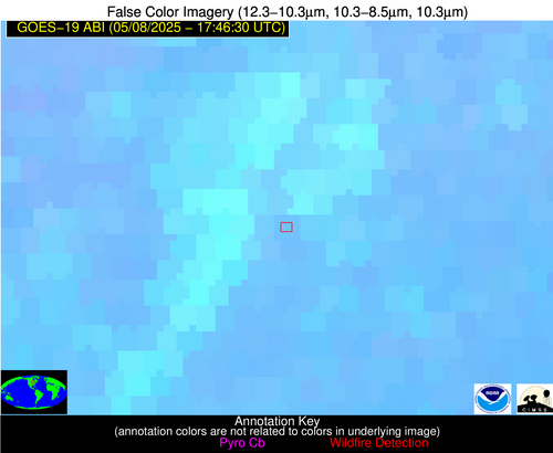
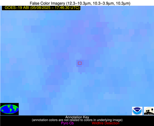
Possible Wildfire
| Basic Information | |
|---|---|
| State/Province(s) | WI |
| Country/Countries | United States |
| County/Locality(s) | Waushara County, WI |
| NWS WFO | Green Bay WI |
| Identification Method | Enhanced Contextual (Clear) |
| Mean Object Date/Time | 2025-05-08 17:46:21UTC |
| Radiative Center (Lat, Lon): | 44.110832°, -89.490837° |
| Nearby Counties (meeting alert criteria): |
|
| Total Radiative Power Anomaly | n/a |
| Total Radiative Power | 20.69 MW |
| Map: | |
| Additional Information | |
| Alert Status | New Feature |
| Type of Event | Nominal Risk |
| Event Priority Ranking | 4 |
| Maximum Observed BT (3.9 um) | 306.18 K |
| Observed - Background BT (3.9 um) | 5.52 K |
| BT Anomaly (3.9 um) | 2.99 K |
| Maximum Observed - Clear RTM BT (3.9 um) | 19.74 K |
| Maximum Observed BTD (3.9-10/11/12 um) | 12.90 K |
| Observed - Background BTD (3.9-10/11/12 um) | 4.88 K |
| BTD Anomaly (3.9-10/11/12 um) | 5.39 K |
| Similar Pixel Count | 18 |
| BT Time Tendency (3.9 um) | 0.90 K |
| Image Interval | 5.00 minutes |
| Fraction of Surrounding LWIR Pixels that are Colder | 0.34 |
| Fraction of Surrounding Red Channel Pixels that are Brighter | 0.98 |
| Maximum Radiative Power | 20.69 MW |
| Maximum Radiative Power Uncertainty | 0.00 MW |
| Total Radiative Power Uncertainty | 0.00 MW |
| Mean Viewing Angle | 53.10° |
| Mean Solar Zenith Angle | 27.30° |
| Mean Glint Angle | 79.60° |
| Water Fraction | 0.00 |
| Total Pixel Area | 6.70 km2 |
| Latest Satellite Imagery: | |
| View all event imagery » | |
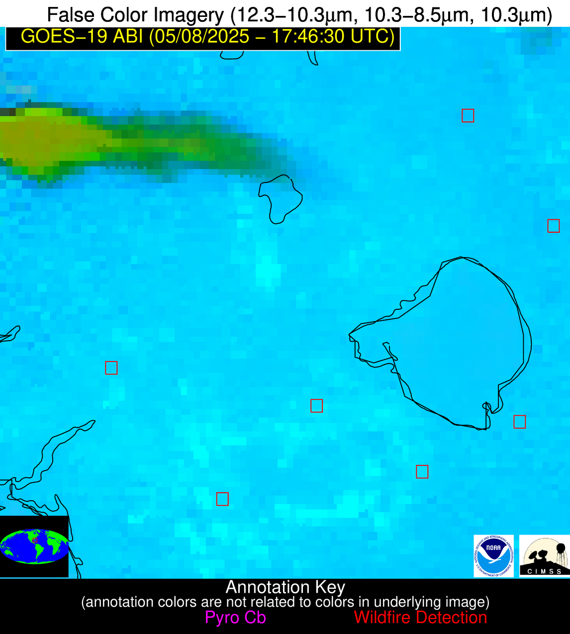
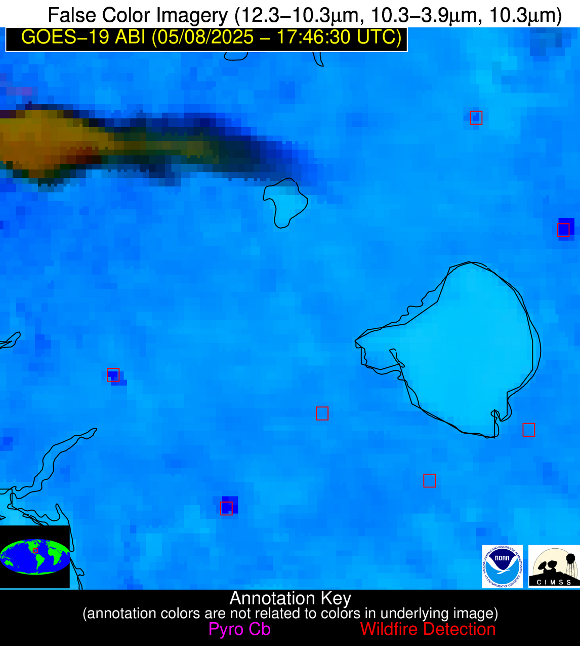
Possible Wildfire
| Basic Information | |
|---|---|
| State/Province(s) | FL |
| Country/Countries | United States |
| County/Locality(s) | Okeechobee County, FL |
| NWS WFO | Melbourne FL |
| Identification Method | Enhanced Contextual (Cloud) |
| Mean Object Date/Time | 2025-05-08 17:47:52UTC |
| Radiative Center (Lat, Lon): | 27.621666°, -80.781387° |
| Nearby Counties (meeting alert criteria): |
|
| Total Radiative Power Anomaly | n/a |
| Total Radiative Power | 47.41 MW |
| Map: | |
| Additional Information | |
| Alert Status | New Feature |
| Type of Event | Likely a Solar Farm |
| Event Priority Ranking | 4 |
| Maximum Observed BT (3.9 um) | 321.69 K |
| Observed - Background BT (3.9 um) | 10.12 K |
| BT Anomaly (3.9 um) | 5.89 K |
| Maximum Observed - Clear RTM BT (3.9 um) | 16.49 K |
| Maximum Observed BTD (3.9-10/11/12 um) | 25.86 K |
| Observed - Background BTD (3.9-10/11/12 um) | 9.40 K |
| BTD Anomaly (3.9-10/11/12 um) | 7.03 K |
| Similar Pixel Count | 0 |
| BT Time Tendency (3.9 um) | 3.10 K |
| Image Interval | 5.00 minutes |
| Fraction of Surrounding LWIR Pixels that are Colder | 0.86 |
| Fraction of Surrounding Red Channel Pixels that are Brighter | 0.00 |
| Maximum Radiative Power | 47.41 MW |
| Maximum Radiative Power Uncertainty | 0.00 MW |
| Total Radiative Power Uncertainty | 0.00 MW |
| Mean Viewing Angle | 33.00° |
| Mean Solar Zenith Angle | 12.40° |
| Mean Glint Angle | 42.80° |
| Water Fraction | 0.00 |
| Total Pixel Area | 4.80 km2 |
| Latest Satellite Imagery: | |
| View all event imagery » | |
Possible Wildfire
| Basic Information | |
|---|---|
| State/Province(s) | FL |
| Country/Countries | United States |
| County/Locality(s) | Charlotte County, FL |
| NWS WFO | Tampa Bay Ruskin FL |
| Identification Method | Enhanced Contextual (Cloud) |
| Mean Object Date/Time | 2025-05-08 17:47:52UTC |
| Radiative Center (Lat, Lon): | 26.868055°, -81.734169° |
| Nearby Counties (meeting alert criteria): |
|
| Total Radiative Power Anomaly | n/a |
| Total Radiative Power | 186.84 MW |
| Map: | |
| Additional Information | |
| Alert Status | New Feature |
| Type of Event | Solar panel (database + spectral) |
| Event Priority Ranking | 5 |
| Maximum Observed BT (3.9 um) | 334.85 K |
| Observed - Background BT (3.9 um) | 19.03 K |
| BT Anomaly (3.9 um) | 11.69 K |
| Maximum Observed - Clear RTM BT (3.9 um) | 24.41 K |
| Maximum Observed BTD (3.9-10/11/12 um) | 35.80 K |
| Observed - Background BTD (3.9-10/11/12 um) | 18.41 K |
| BTD Anomaly (3.9-10/11/12 um) | 15.87 K |
| Similar Pixel Count | 0 |
| BT Time Tendency (3.9 um) | 12.40 K |
| Image Interval | 5.00 minutes |
| Fraction of Surrounding LWIR Pixels that are Colder | 0.80 |
| Fraction of Surrounding Red Channel Pixels that are Brighter | 0.00 |
| Maximum Radiative Power | 115.51 MW |
| Maximum Radiative Power Uncertainty | 0.00 MW |
| Total Radiative Power Uncertainty | 0.00 MW |
| Mean Viewing Angle | 32.30° |
| Mean Solar Zenith Angle | 11.30° |
| Mean Glint Angle | 41.20° |
| Water Fraction | 0.00 |
| Total Pixel Area | 9.50 km2 |
| Latest Satellite Imagery: | |
| View all event imagery » | |
Possible Wildfire
| Basic Information | |
|---|---|
| State/Province(s) | FL |
| Country/Countries | United States |
| County/Locality(s) | Collier County, FL |
| NWS WFO | Miami FL |
| Identification Method | Enhanced Contextual (Cloud) |
| Mean Object Date/Time | 2025-05-08 17:47:52UTC |
| Radiative Center (Lat, Lon): | 26.476110°, -81.437225° |
| Nearby Counties (meeting alert criteria): |
|
| Total Radiative Power Anomaly | n/a |
| Total Radiative Power | 612.80 MW |
| Map: | |
| Additional Information | |
| Alert Status | New Feature |
| Type of Event | Likely a Solar Farm |
| Event Priority Ranking | 4 |
| Maximum Observed BT (3.9 um) | 348.39 K |
| Observed - Background BT (3.9 um) | 29.26 K |
| BT Anomaly (3.9 um) | 18.70 K |
| Maximum Observed - Clear RTM BT (3.9 um) | 36.85 K |
| Maximum Observed BTD (3.9-10/11/12 um) | 47.92 K |
| Observed - Background BTD (3.9-10/11/12 um) | 28.59 K |
| BTD Anomaly (3.9-10/11/12 um) | 26.40 K |
| Similar Pixel Count | 0 |
| BT Time Tendency (3.9 um) | 25.00 K |
| Image Interval | 5.00 minutes |
| Fraction of Surrounding LWIR Pixels that are Colder | 0.88 |
| Fraction of Surrounding Red Channel Pixels that are Brighter | 0.00 |
| Maximum Radiative Power | 220.03 MW |
| Maximum Radiative Power Uncertainty | 0.00 MW |
| Total Radiative Power Uncertainty | 0.00 MW |
| Mean Viewing Angle | 31.90° |
| Mean Solar Zenith Angle | 11.20° |
| Mean Glint Angle | 40.40° |
| Water Fraction | 0.00 |
| Total Pixel Area | 18.80 km2 |
| Latest Satellite Imagery: | |
| View all event imagery » | |


