Jan 2026: Due to an ongoing data center cooling system construction project, NGFS data outages may occur with little or no notice.
Wildfire Alert Report
| Date: | 2025-05-08 |
|---|---|
| Time: | 17:11:17 |
| Production Date and Time: | 2025-05-08 17:16:23 UTC |
| Primary Instrument: | GOES-19 ABI |
| Wmo Spacecraft Id: | 666 |
| Location/orbit: | GEO |
| L1 File: | OR_ABI-L1b-RadC-M6C14_G19_s20251281711172_e20251281713545_c20251281714052.nc |
| L1 File(s) - Temporal | OR_ABI-L1b-RadC-M6C14_G19_s20251281706172_e20251281708545_c20251281709023.nc |
| Number Of Thermal Anomaly Alerts: | 3 |
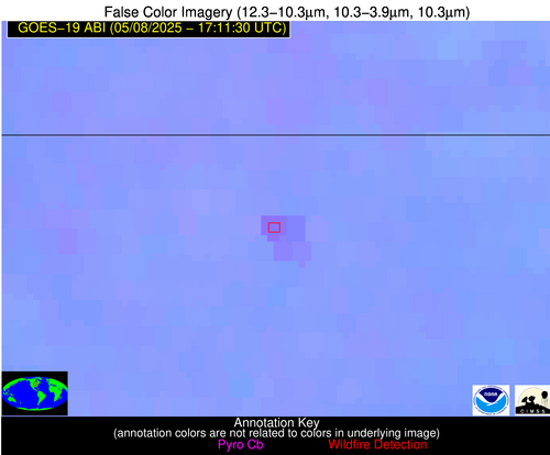
Possible Wildfire
| Basic Information | |
|---|---|
| State/Province(s) | Ontario |
| Country/Countries | Canada |
| County/Locality(s) | Kenora, Ontario |
| NWS WFO | N/A |
| Identification Method | Enhanced Contextual (Clear) |
| Mean Object Date/Time | 2025-05-08 17:11:21UTC |
| Radiative Center (Lat, Lon): | 49.233055°, -93.364441° |
| Nearby Counties (meeting alert criteria): |
|
| Total Radiative Power Anomaly | n/a |
| Total Radiative Power | 6.87 MW |
| Map: | |
| Additional Information | |
| Alert Status | New Feature |
| Type of Event | Nominal Risk |
| Event Priority Ranking | 4 |
| Maximum Observed BT (3.9 um) | 292.98 K |
| Observed - Background BT (3.9 um) | 2.81 K |
| BT Anomaly (3.9 um) | 2.10 K |
| Maximum Observed - Clear RTM BT (3.9 um) | 6.43 K |
| Maximum Observed BTD (3.9-10/11/12 um) | 7.09 K |
| Observed - Background BTD (3.9-10/11/12 um) | 2.53 K |
| BTD Anomaly (3.9-10/11/12 um) | 5.07 K |
| Similar Pixel Count | 17 |
| BT Time Tendency (3.9 um) | 1.10 K |
| Image Interval | 5.00 minutes |
| Fraction of Surrounding LWIR Pixels that are Colder | 0.54 |
| Fraction of Surrounding Red Channel Pixels that are Brighter | 1.00 |
| Maximum Radiative Power | 6.87 MW |
| Maximum Radiative Power Uncertainty | 0.00 MW |
| Total Radiative Power Uncertainty | 0.00 MW |
| Mean Viewing Angle | 59.40° |
| Mean Solar Zenith Angle | 34.50° |
| Mean Glint Angle | 93.90° |
| Water Fraction | 0.00 |
| Total Pixel Area | 7.90 km2 |
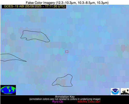
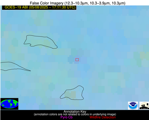
| Latest Satellite Imagery: | |
| View all event imagery » | |
Possible Wildfire
| Basic Information | |
|---|---|
| State/Province(s) | ID |
| Country/Countries | United States |
| County/Locality(s) | Adams County, ID |
| NWS WFO | Boise ID |
| Identification Method | Enhanced Contextual (Clear) |
| Mean Object Date/Time | 2025-05-08 17:11:19UTC |
| Radiative Center (Lat, Lon): | 44.967777°, -116.171944° |
| Nearby Counties (meeting alert criteria): |
|
| Total Radiative Power Anomaly | n/a |
| Total Radiative Power | 62.40 MW |
| Map: | |
| Additional Information | |
| Alert Status | New Feature |
| Type of Event | Nominal Risk |
| Event Priority Ranking | 4 |
| Maximum Observed BT (3.9 um) | 298.22 K |
| Observed - Background BT (3.9 um) | 4.90 K |
| BT Anomaly (3.9 um) | 2.33 K |
| Maximum Observed - Clear RTM BT (3.9 um) | 10.86 K |
| Maximum Observed BTD (3.9-10/11/12 um) | 12.22 K |
| Observed - Background BTD (3.9-10/11/12 um) | 5.02 K |
| BTD Anomaly (3.9-10/11/12 um) | 3.98 K |
| Similar Pixel Count | 2 |
| BT Time Tendency (3.9 um) | 5.40 K |
| Image Interval | 5.00 minutes |
| Fraction of Surrounding LWIR Pixels that are Colder | 0.74 |
| Fraction of Surrounding Red Channel Pixels that are Brighter | 1.00 |
| Maximum Radiative Power | 33.45 MW |
| Maximum Radiative Power Uncertainty | 0.00 MW |
| Total Radiative Power Uncertainty | 0.00 MW |
| Mean Viewing Angle | 66.10° |
| Mean Solar Zenith Angle | 42.10° |
| Mean Glint Angle | 107.70° |
| Water Fraction | 0.00 |
| Total Pixel Area | 19.80 km2 |
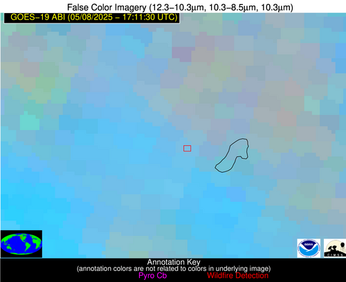
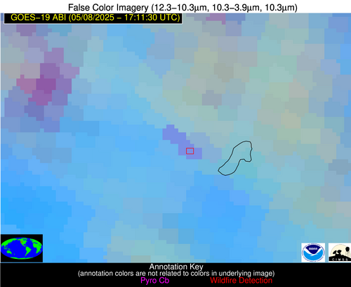
| Latest Satellite Imagery: | |
| View all event imagery » | |
Possible Wildfire
| Basic Information | |
|---|---|
| State/Province(s) | IA |
| Country/Countries | United States |
| County/Locality(s) | Howard County, IA |
| NWS WFO | La Crosse WI |
| Identification Method | Enhanced Contextual (Clear) |
| Mean Object Date/Time | 2025-05-08 17:11:21UTC |
| Radiative Center (Lat, Lon): | 43.381390°, -92.484169° |
| Nearby Counties (meeting alert criteria): |
|
| Total Radiative Power Anomaly | n/a |
| Total Radiative Power | 49.04 MW |
| Map: | |
| Additional Information | |
| Alert Status | New Feature |
| Type of Event | Nominal Risk |
| Event Priority Ranking | 4 |
| Maximum Observed BT (3.9 um) | 314.28 K |
| Observed - Background BT (3.9 um) | 5.48 K |
| BT Anomaly (3.9 um) | 4.37 K |
| Maximum Observed - Clear RTM BT (3.9 um) | 27.02 K |
| Maximum Observed BTD (3.9-10/11/12 um) | 15.54 K |
| Observed - Background BTD (3.9-10/11/12 um) | 5.58 K |
| BTD Anomaly (3.9-10/11/12 um) | 15.46 K |
| Similar Pixel Count | 4 |
| BT Time Tendency (3.9 um) | 5.10 K |
| Image Interval | 5.00 minutes |
| Fraction of Surrounding LWIR Pixels that are Colder | 0.47 |
| Fraction of Surrounding Red Channel Pixels that are Brighter | 1.00 |
| Maximum Radiative Power | 29.64 MW |
| Maximum Radiative Power Uncertainty | 0.00 MW |
| Total Radiative Power Uncertainty | 0.00 MW |
| Mean Viewing Angle | 53.30° |
| Mean Solar Zenith Angle | 28.90° |
| Mean Glint Angle | 82.20° |
| Water Fraction | 0.00 |
| Total Pixel Area | 13.40 km2 |
| Latest Satellite Imagery: | |
| View all event imagery » | |
