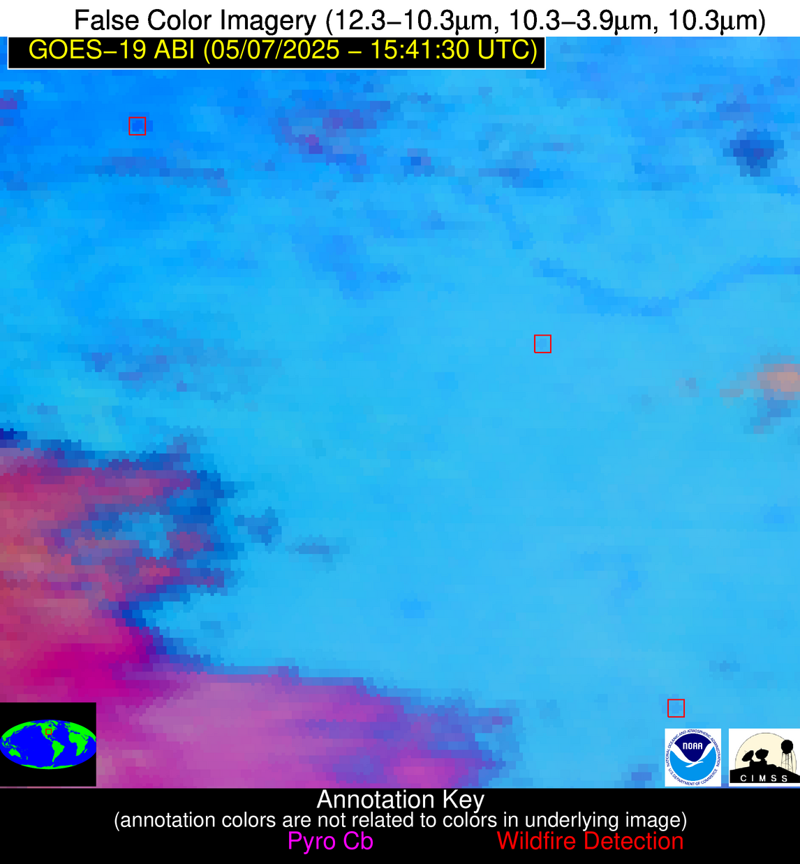
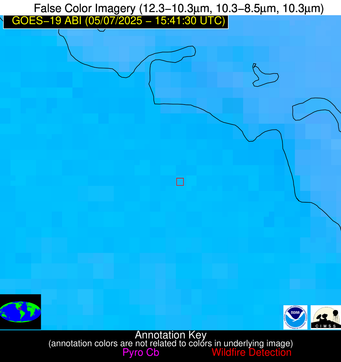
Wildfire Alert Report
| Date: | 2025-05-07 |
|---|---|
| Time: | 15:41:17 |
| Production Date and Time: | 2025-05-07 15:46:13 UTC |
| Primary Instrument: | GOES-19 ABI |
| Wmo Spacecraft Id: | 666 |
| Location/orbit: | GEO |
| L1 File: | OR_ABI-L1b-RadC-M6C14_G19_s20251271541171_e20251271543544_c20251271544049.nc |
| L1 File(s) - Temporal | OR_ABI-L1b-RadC-M6C14_G19_s20251271536171_e20251271538544_c20251271539034.nc |
| Number Of Thermal Anomaly Alerts: | 5 |
Possible Wildfire
| Basic Information | |
|---|---|
| State/Province(s) | MO |
| Country/Countries | United States |
| County/Locality(s) | Saline County, MO |
| NWS WFO | Kansas City/Pleasant Hill MO |
| Identification Method | Enhanced Contextual (Clear) |
| Mean Object Date/Time | 2025-05-07 15:41:50UTC |
| Radiative Center (Lat, Lon): | 39.110001°, -93.334442° |
| Nearby Counties (meeting alert criteria): |
|
| Total Radiative Power Anomaly | n/a |
| Total Radiative Power | 46.82 MW |
| Map: | |
| Additional Information | |
| Alert Status | New Feature |
| Type of Event | Nominal Risk |
| Event Priority Ranking | 4 |
| Maximum Observed BT (3.9 um) | 311.46 K |
| Observed - Background BT (3.9 um) | 6.26 K |
| BT Anomaly (3.9 um) | 2.70 K |
| Maximum Observed - Clear RTM BT (3.9 um) | 26.27 K |
| Maximum Observed BTD (3.9-10/11/12 um) | 21.32 K |
| Observed - Background BTD (3.9-10/11/12 um) | 5.95 K |
| BTD Anomaly (3.9-10/11/12 um) | 3.82 K |
| Similar Pixel Count | 22 |
| BT Time Tendency (3.9 um) | 4.10 K |
| Image Interval | 5.00 minutes |
| Fraction of Surrounding LWIR Pixels that are Colder | 0.73 |
| Fraction of Surrounding Red Channel Pixels that are Brighter | 1.00 |
| Maximum Radiative Power | 24.63 MW |
| Maximum Radiative Power Uncertainty | 0.00 MW |
| Total Radiative Power Uncertainty | 0.00 MW |
| Mean Viewing Angle | 49.30° |
| Mean Solar Zenith Angle | 39.30° |
| Mean Glint Angle | 82.70° |
| Water Fraction | 0.00 |
| Total Pixel Area | 12.30 km2 |
| Latest Satellite Imagery: | |
| View all event imagery » | |
Possible Wildfire
| Basic Information | |
|---|---|
| State/Province(s) | MO |
| Country/Countries | United States |
| County/Locality(s) | Cole County, MO |
| NWS WFO | St Louis MO |
| Identification Method | Enhanced Contextual (Clear) |
| Mean Object Date/Time | 2025-05-07 15:41:51UTC |
| Radiative Center (Lat, Lon): | 38.461113°, -92.339165° |
| Nearby Counties (meeting alert criteria): |
|
| Total Radiative Power Anomaly | n/a |
| Total Radiative Power | 5.28 MW |
| Map: | |
| Additional Information | |
| Alert Status | New Feature |
| Type of Event | Nominal Risk |
| Event Priority Ranking | 4 |
| Maximum Observed BT (3.9 um) | 297.38 K |
| Observed - Background BT (3.9 um) | 1.78 K |
| BT Anomaly (3.9 um) | 1.74 K |
| Maximum Observed - Clear RTM BT (3.9 um) | 12.93 K |
| Maximum Observed BTD (3.9-10/11/12 um) | 9.26 K |
| Observed - Background BTD (3.9-10/11/12 um) | 1.56 K |
| BTD Anomaly (3.9-10/11/12 um) | 2.36 K |
| Similar Pixel Count | 25 |
| BT Time Tendency (3.9 um) | 0.60 K |
| Image Interval | 5.00 minutes |
| Fraction of Surrounding LWIR Pixels that are Colder | 0.85 |
| Fraction of Surrounding Red Channel Pixels that are Brighter | 1.00 |
| Maximum Radiative Power | 5.28 MW |
| Maximum Radiative Power Uncertainty | 0.00 MW |
| Total Radiative Power Uncertainty | 0.00 MW |
| Mean Viewing Angle | 48.20° |
| Mean Solar Zenith Angle | 38.40° |
| Mean Glint Angle | 80.60° |
| Water Fraction | 0.00 |
| Total Pixel Area | 6.00 km2 |
| Latest Satellite Imagery: | |
| View all event imagery » | |
Possible Wildfire
| Basic Information | |
|---|---|
| State/Province(s) | MO |
| Country/Countries | United States |
| County/Locality(s) | Texas County, MO |
| NWS WFO | Springfield MO |
| Identification Method | Enhanced Contextual (Clear) |
| Mean Object Date/Time | 2025-05-07 15:41:51UTC |
| Radiative Center (Lat, Lon): | 37.375557°, -92.011665° |
| Nearby Counties (meeting alert criteria): |
|
| Total Radiative Power Anomaly | n/a |
| Total Radiative Power | 6.84 MW |
| Map: | |
| Additional Information | |
| Alert Status | New Feature |
| Type of Event | Nominal Risk |
| Event Priority Ranking | 4 |
| Maximum Observed BT (3.9 um) | 297.47 K |
| Observed - Background BT (3.9 um) | 2.68 K |
| BT Anomaly (3.9 um) | 5.69 K |
| Maximum Observed - Clear RTM BT (3.9 um) | 12.63 K |
| Maximum Observed BTD (3.9-10/11/12 um) | 10.11 K |
| Observed - Background BTD (3.9-10/11/12 um) | 2.32 K |
| BTD Anomaly (3.9-10/11/12 um) | 3.52 K |
| Similar Pixel Count | 25 |
| BT Time Tendency (3.9 um) | 0.30 K |
| Image Interval | 5.00 minutes |
| Fraction of Surrounding LWIR Pixels that are Colder | 0.89 |
| Fraction of Surrounding Red Channel Pixels that are Brighter | 1.00 |
| Maximum Radiative Power | 6.84 MW |
| Maximum Radiative Power Uncertainty | 0.00 MW |
| Total Radiative Power Uncertainty | 0.00 MW |
| Mean Viewing Angle | 47.00° |
| Mean Solar Zenith Angle | 37.70° |
| Mean Glint Angle | 78.70° |
| Water Fraction | 0.00 |
| Total Pixel Area | 5.90 km2 |
| Latest Satellite Imagery: | |
| View all event imagery » | |
Possible Wildfire
| Basic Information | |
|---|---|
| State/Province(s) | TX |
| Country/Countries | United States |
| County/Locality(s) | Hays County, TX |
| NWS WFO | Austin/San Antonio TX |
| Identification Method | Enhanced Contextual (Clear) |
| Mean Object Date/Time | 2025-05-07 15:42:50UTC |
| Radiative Center (Lat, Lon): | 30.032778°, -98.203056° |
| Nearby Counties (meeting alert criteria): |
|
| Total Radiative Power Anomaly | n/a |
| Total Radiative Power | 8.98 MW |
| Map: | |
| Additional Information | |
| Alert Status | New Feature |
| Type of Event | Nominal Risk |
| Event Priority Ranking | 4 |
| Maximum Observed BT (3.9 um) | 302.46 K |
| Observed - Background BT (3.9 um) | 2.88 K |
| BT Anomaly (3.9 um) | 4.11 K |
| Maximum Observed - Clear RTM BT (3.9 um) | 7.45 K |
| Maximum Observed BTD (3.9-10/11/12 um) | 10.78 K |
| Observed - Background BTD (3.9-10/11/12 um) | 3.06 K |
| BTD Anomaly (3.9-10/11/12 um) | 5.14 K |
| Similar Pixel Count | 25 |
| BT Time Tendency (3.9 um) | 2.50 K |
| Image Interval | 5.00 minutes |
| Fraction of Surrounding LWIR Pixels that are Colder | 0.32 |
| Fraction of Surrounding Red Channel Pixels that are Brighter | 1.00 |
| Maximum Radiative Power | 8.98 MW |
| Maximum Radiative Power Uncertainty | 0.00 MW |
| Total Radiative Power Uncertainty | 0.00 MW |
| Mean Viewing Angle | 43.30° |
| Mean Solar Zenith Angle | 40.50° |
| Mean Glint Angle | 77.80° |
| Water Fraction | 0.00 |
| Total Pixel Area | 5.50 km2 |
| Latest Satellite Imagery: | |
| View all event imagery » | |
Possible Wildfire
| Basic Information | |
|---|---|
| State/Province(s) | Unknown |
| Country/Countries | Cuba |
| County/Locality(s) | Unknown, Unknown |
| NWS WFO | N/A |
| Identification Method | Enhanced Contextual (Clear) |
| Mean Object Date/Time | 2025-05-07 15:43:22UTC |
| Radiative Center (Lat, Lon): | 22.678055°, -79.813332° |
| Nearby Counties (meeting alert criteria): |
|
| Total Radiative Power Anomaly | n/a |
| Total Radiative Power | 17.76 MW |
| Map: | |
| Additional Information | |
| Alert Status | New Feature |
| Type of Event | Nominal Risk |
| Event Priority Ranking | 4 |
| Maximum Observed BT (3.9 um) | 318.79 K |
| Observed - Background BT (3.9 um) | 7.29 K |
| BT Anomaly (3.9 um) | 5.21 K |
| Maximum Observed - Clear RTM BT (3.9 um) | 15.48 K |
| Maximum Observed BTD (3.9-10/11/12 um) | 17.94 K |
| Observed - Background BTD (3.9-10/11/12 um) | 6.18 K |
| BTD Anomaly (3.9-10/11/12 um) | 5.22 K |
| Similar Pixel Count | 19 |
| BT Time Tendency (3.9 um) | 2.50 K |
| Image Interval | 5.00 minutes |
| Fraction of Surrounding LWIR Pixels that are Colder | 0.98 |
| Fraction of Surrounding Red Channel Pixels that are Brighter | 0.95 |
| Maximum Radiative Power | 17.76 MW |
| Maximum Radiative Power Uncertainty | 0.00 MW |
| Total Radiative Power Uncertainty | 0.00 MW |
| Mean Viewing Angle | 27.20° |
| Mean Solar Zenith Angle | 23.00° |
| Mean Glint Angle | 41.40° |
| Water Fraction | 0.00 |
| Total Pixel Area | 4.50 km2 |
| Latest Satellite Imagery: | |
| View all event imagery » | |


