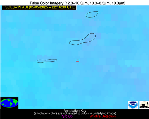
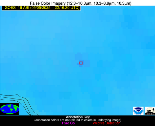
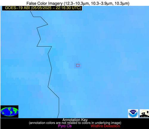
Wildfire Alert Report
| Date: | 2025-05-05 |
|---|---|
| Time: | 22:16:18 |
| Production Date and Time: | 2025-05-05 22:21:26 UTC |
| Primary Instrument: | GOES-19 ABI |
| Wmo Spacecraft Id: | 666 |
| Location/orbit: | GEO |
| L1 File: | OR_ABI-L1b-RadC-M6C14_G19_s20251252216180_e20251252218553_c20251252219042.nc |
| L1 File(s) - Temporal | OR_ABI-L1b-RadC-M6C14_G19_s20251252211180_e20251252213553_c20251252214005.nc |
| Number Of Thermal Anomaly Alerts: | 4 |
Possible Wildfire
| Basic Information | |
|---|---|
| State/Province(s) | MN |
| Country/Countries | United States |
| County/Locality(s) | Pope County, MN |
| NWS WFO | Twin Cities/Chanhassen MN |
| Identification Method | Enhanced Contextual (Clear) |
| Mean Object Date/Time | 2025-05-05 22:16:21UTC |
| Radiative Center (Lat, Lon): | 45.517502°, -95.492500° |
| Nearby Counties (meeting alert criteria): |
|
| Total Radiative Power Anomaly | n/a |
| Total Radiative Power | 12.12 MW |
| Map: | |
| Additional Information | |
| Alert Status | New Feature |
| Type of Event | Nominal Risk |
| Event Priority Ranking | 4 |
| Maximum Observed BT (3.9 um) | 302.54 K |
| Observed - Background BT (3.9 um) | 1.01 K |
| BT Anomaly (3.9 um) | 0.72 K |
| Maximum Observed - Clear RTM BT (3.9 um) | 10.64 K |
| Maximum Observed BTD (3.9-10/11/12 um) | 8.92 K |
| Observed - Background BTD (3.9-10/11/12 um) | 2.14 K |
| BTD Anomaly (3.9-10/11/12 um) | 3.28 K |
| Similar Pixel Count | 24 |
| BT Time Tendency (3.9 um) | 1.40 K |
| Image Interval | 5.00 minutes |
| Fraction of Surrounding LWIR Pixels that are Colder | 0.12 |
| Fraction of Surrounding Red Channel Pixels that are Brighter | 1.00 |
| Maximum Radiative Power | 12.12 MW |
| Maximum Radiative Power Uncertainty | 0.00 MW |
| Total Radiative Power Uncertainty | 0.00 MW |
| Mean Viewing Angle | 56.40° |
| Mean Solar Zenith Angle | 57.40° |
| Mean Glint Angle | 59.90° |
| Water Fraction | 0.00 |
| Total Pixel Area | 7.20 km2 |
| Latest Satellite Imagery: | |
| View all event imagery » | |
Possible Wildfire
| Basic Information | |
|---|---|
| State/Province(s) | WI |
| Country/Countries | United States |
| County/Locality(s) | Dunn County, WI |
| NWS WFO | Twin Cities/Chanhassen MN |
| Identification Method | Enhanced Contextual (Clear) |
| Mean Object Date/Time | 2025-05-05 22:16:22UTC |
| Radiative Center (Lat, Lon): | 44.721390°, -92.069725° |
| Nearby Counties (meeting alert criteria): |
|
| Total Radiative Power Anomaly | n/a |
| Total Radiative Power | 16.57 MW |
| Map: | |
| Additional Information | |
| Alert Status | New Feature |
| Type of Event | Nominal Risk |
| Event Priority Ranking | 4 |
| Maximum Observed BT (3.9 um) | 300.64 K |
| Observed - Background BT (3.9 um) | 4.48 K |
| BT Anomaly (3.9 um) | 5.09 K |
| Maximum Observed - Clear RTM BT (3.9 um) | 14.10 K |
| Maximum Observed BTD (3.9-10/11/12 um) | 11.73 K |
| Observed - Background BTD (3.9-10/11/12 um) | 4.33 K |
| BTD Anomaly (3.9-10/11/12 um) | 6.38 K |
| Similar Pixel Count | 15 |
| BT Time Tendency (3.9 um) | 3.20 K |
| Image Interval | 5.00 minutes |
| Fraction of Surrounding LWIR Pixels that are Colder | 0.52 |
| Fraction of Surrounding Red Channel Pixels that are Brighter | 1.00 |
| Maximum Radiative Power | 16.57 MW |
| Maximum Radiative Power Uncertainty | 0.00 MW |
| Total Radiative Power Uncertainty | 0.00 MW |
| Mean Viewing Angle | 54.50° |
| Mean Solar Zenith Angle | 59.60° |
| Mean Glint Angle | 60.90° |
| Water Fraction | 0.00 |
| Total Pixel Area | 6.90 km2 |
| Latest Satellite Imagery: | |
| View all event imagery » | |
Possible Wildfire
| Basic Information | |
|---|---|
| State/Province(s) | IA |
| Country/Countries | United States |
| County/Locality(s) | Mills County, IA |
| NWS WFO | Omaha/Valley NE |
| Identification Method | Enhanced Contextual (Clear) |
| Mean Object Date/Time | 2025-05-05 22:16:51UTC |
| Radiative Center (Lat, Lon): | 41.097221°, -95.731941° |
| Nearby Counties (meeting alert criteria): |
|
| Total Radiative Power Anomaly | n/a |
| Total Radiative Power | 7.35 MW |
| Map: | |
| Additional Information | |
| Alert Status | New Feature |
| Type of Event | Nominal Risk |
| Event Priority Ranking | 4 |
| Maximum Observed BT (3.9 um) | 303.71 K |
| Observed - Background BT (3.9 um) | 1.75 K |
| BT Anomaly (3.9 um) | 1.38 K |
| Maximum Observed - Clear RTM BT (3.9 um) | 11.98 K |
| Maximum Observed BTD (3.9-10/11/12 um) | 8.44 K |
| Observed - Background BTD (3.9-10/11/12 um) | 2.06 K |
| BTD Anomaly (3.9-10/11/12 um) | 4.88 K |
| Similar Pixel Count | 19 |
| BT Time Tendency (3.9 um) | 1.80 K |
| Image Interval | 5.00 minutes |
| Fraction of Surrounding LWIR Pixels that are Colder | 0.31 |
| Fraction of Surrounding Red Channel Pixels that are Brighter | 1.00 |
| Maximum Radiative Power | 7.35 MW |
| Maximum Radiative Power Uncertainty | 0.00 MW |
| Total Radiative Power Uncertainty | 0.00 MW |
| Mean Viewing Angle | 52.20° |
| Mean Solar Zenith Angle | 56.50° |
| Mean Glint Angle | 54.40° |
| Water Fraction | 0.00 |
| Total Pixel Area | 6.50 km2 |
| Latest Satellite Imagery: | |
| View all event imagery » | |
Possible Wildfire
| Basic Information | |
|---|---|
| State/Province(s) | KS |
| Country/Countries | United States |
| County/Locality(s) | Elk County, KS |
| NWS WFO | Wichita KS |
| Identification Method | Enhanced Contextual (Clear) |
| Mean Object Date/Time | 2025-05-05 22:16:51UTC |
| Radiative Center (Lat, Lon): | 37.350277°, -96.250832° |
| Nearby Counties (meeting alert criteria): |
|
| Total Radiative Power Anomaly | n/a |
| Total Radiative Power | 35.71 MW |
| Map: | |
| Additional Information | |
| Alert Status | New Feature |
| Type of Event | Nominal Risk |
| Event Priority Ranking | 4 |
| Maximum Observed BT (3.9 um) | 301.93 K |
| Observed - Background BT (3.9 um) | 9.67 K |
| BT Anomaly (3.9 um) | 6.68 K |
| Maximum Observed - Clear RTM BT (3.9 um) | 11.59 K |
| Maximum Observed BTD (3.9-10/11/12 um) | 22.43 K |
| Observed - Background BTD (3.9-10/11/12 um) | 9.22 K |
| BTD Anomaly (3.9-10/11/12 um) | 6.27 K |
| Similar Pixel Count | 10 |
| BT Time Tendency (3.9 um) | 3.10 K |
| Image Interval | 5.00 minutes |
| Fraction of Surrounding LWIR Pixels that are Colder | 0.71 |
| Fraction of Surrounding Red Channel Pixels that are Brighter | 0.81 |
| Maximum Radiative Power | 35.71 MW |
| Maximum Radiative Power Uncertainty | 0.00 MW |
| Total Radiative Power Uncertainty | 0.00 MW |
| Mean Viewing Angle | 48.90° |
| Mean Solar Zenith Angle | 55.70° |
| Mean Glint Angle | 49.50° |
| Water Fraction | 0.00 |
| Total Pixel Area | 6.10 km2 |
| Latest Satellite Imagery: | |
| View all event imagery » | |


