Wildfire Alert Report
| Date: | 2025-05-04 |
|---|---|
| Time: | 01:16:17 |
| Production Date and Time: | 2025-05-04 01:21:07 UTC |
| Primary Instrument: | GOES-19 ABI |
| Wmo Spacecraft Id: | 666 |
| Location/orbit: | GEO |
| L1 File: | OR_ABI-L1b-RadC-M6C14_G19_s20251240116178_e20251240118551_c20251240119032.nc |
| L1 File(s) - Temporal | OR_ABI-L1b-RadC-M6C14_G19_s20251240111178_e20251240113551_c20251240114034.nc |
| Number Of Thermal Anomaly Alerts: | 2 |
Possible Wildfire
| Basic Information | |
|---|---|
| State/Province(s) | MN |
| Country/Countries | United States |
| County/Locality(s) | Benton County, MN |
| NWS WFO | Twin Cities/Chanhassen MN |
| Identification Method | Enhanced Contextual (Clear) |
| Mean Object Date/Time | 2025-05-04 01:16:21UTC |
| Radiative Center (Lat, Lon): | 45.673611°, -94.106110° |
| Nearby Counties (meeting alert criteria): |
|
| Total Radiative Power Anomaly | n/a |
| Total Radiative Power | 15.21 MW |
| Map: | |
| Additional Information | |
| Alert Status | New Feature |
| Type of Event | Nominal Risk |
| Event Priority Ranking | 4 |
| Maximum Observed BT (3.9 um) | 287.42 K |
| Observed - Background BT (3.9 um) | 5.40 K |
| BT Anomaly (3.9 um) | 5.64 K |
| Maximum Observed - Clear RTM BT (3.9 um) | 3.63 K |
| Maximum Observed BTD (3.9-10/11/12 um) | 7.16 K |
| Observed - Background BTD (3.9-10/11/12 um) | 6.12 K |
| BTD Anomaly (3.9-10/11/12 um) | 15.20 K |
| Similar Pixel Count | 1 |
| BT Time Tendency (3.9 um) | 4.10 K |
| Image Interval | 5.00 minutes |
| Fraction of Surrounding LWIR Pixels that are Colder | 0.15 |
| Fraction of Surrounding Red Channel Pixels that are Brighter | 1.00 |
| Maximum Radiative Power | 15.21 MW |
| Maximum Radiative Power Uncertainty | 0.00 MW |
| Total Radiative Power Uncertainty | 0.00 MW |
| Mean Viewing Angle | 56.10° |
| Mean Solar Zenith Angle | 89.40° |
| Mean Glint Angle | 51.60° |
| Water Fraction | 0.00 |
| Total Pixel Area | 7.20 km2 |
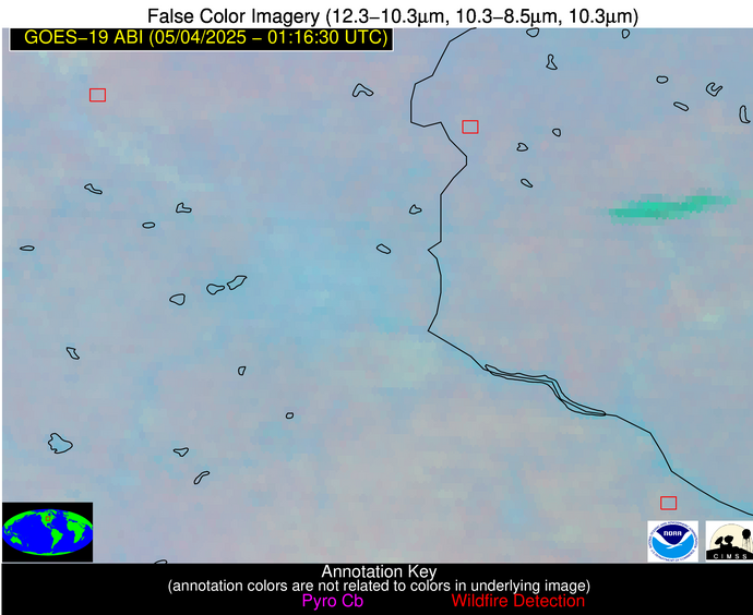
| Latest Satellite Imagery: | |
| View all event imagery » | |
Possible Wildfire
| Basic Information | |
|---|---|
| State/Province(s) | MN |
| Country/Countries | United States |
| County/Locality(s) | Winona County, MN |
| NWS WFO | La Crosse WI |
| Identification Method | Enhanced Contextual (Clear) |
| Mean Object Date/Time | 2025-05-04 01:16:21UTC |
| Radiative Center (Lat, Lon): | 44.075279°, -91.878334° |
| Nearby Counties (meeting alert criteria): |
|
| Total Radiative Power Anomaly | n/a |
| Total Radiative Power | 5.78 MW |
| Map: | |
| Additional Information | |
| Alert Status | New Feature |
| Type of Event | Nominal Risk |
| Event Priority Ranking | 4 |
| Maximum Observed BT (3.9 um) | 283.18 K |
| Observed - Background BT (3.9 um) | 3.04 K |
| BT Anomaly (3.9 um) | 2.73 K |
| Maximum Observed - Clear RTM BT (3.9 um) | 2.80 K |
| Maximum Observed BTD (3.9-10/11/12 um) | 4.25 K |
| Observed - Background BTD (3.9-10/11/12 um) | 2.97 K |
| BTD Anomaly (3.9-10/11/12 um) | 5.99 K |
| Similar Pixel Count | 1 |
| BT Time Tendency (3.9 um) | 0.50 K |
| Image Interval | 5.00 minutes |
| Fraction of Surrounding LWIR Pixels that are Colder | 0.57 |
| Fraction of Surrounding Red Channel Pixels that are Brighter | 1.00 |
| Maximum Radiative Power | 5.78 MW |
| Maximum Radiative Power Uncertainty | 0.00 MW |
| Total Radiative Power Uncertainty | 0.00 MW |
| Mean Viewing Angle | 53.80° |
| Mean Solar Zenith Angle | 91.50° |
| Mean Glint Angle | 54.90° |
| Water Fraction | 0.00 |
| Total Pixel Area | 6.80 km2 |
| Latest Satellite Imagery: | |
| View all event imagery » | |


