Wildfire Alert Report
| Date: | 2025-04-30 |
|---|---|
| Time: | 22:46:17 |
| Production Date and Time: | 2025-04-30 22:51:15 UTC |
| Primary Instrument: | GOES-19 ABI |
| Wmo Spacecraft Id: | 666 |
| Location/orbit: | GEO |
| L1 File: | OR_ABI-L1b-RadC-M6C14_G19_s20251202246175_e20251202248548_c20251202249047.nc |
| L1 File(s) - Temporal | OR_ABI-L1b-RadC-M6C14_G19_s20251202241175_e20251202243548_c20251202244025.nc |
| Number Of Thermal Anomaly Alerts: | 3 |
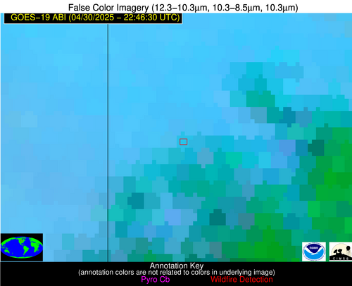
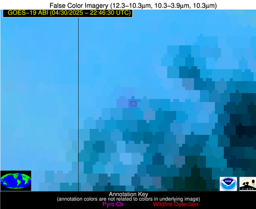
Possible Wildfire
| Basic Information | |
|---|---|
| State/Province(s) | MN |
| Country/Countries | United States |
| County/Locality(s) | Lac qui Parle County, MN |
| NWS WFO | Twin Cities/Chanhassen MN |
| Identification Method | Enhanced Contextual (Clear) |
| Mean Object Date/Time | 2025-04-30 22:46:20UTC |
| Radiative Center (Lat, Lon): | 44.843887°, -96.296112° |
| Nearby Counties (meeting alert criteria): |
|
| Total Radiative Power Anomaly | n/a |
| Total Radiative Power | 14.68 MW |
| Map: | |
| Additional Information | |
| Alert Status | New Feature |
| Type of Event | Nominal Risk |
| Event Priority Ranking | 4 |
| Maximum Observed BT (3.9 um) | 300.07 K |
| Observed - Background BT (3.9 um) | 4.80 K |
| BT Anomaly (3.9 um) | 3.87 K |
| Maximum Observed - Clear RTM BT (3.9 um) | 10.82 K |
| Maximum Observed BTD (3.9-10/11/12 um) | 15.11 K |
| Observed - Background BTD (3.9-10/11/12 um) | 4.43 K |
| BTD Anomaly (3.9-10/11/12 um) | 3.90 K |
| Similar Pixel Count | 14 |
| BT Time Tendency (3.9 um) | 1.00 K |
| Image Interval | 5.00 minutes |
| Fraction of Surrounding LWIR Pixels that are Colder | 0.49 |
| Fraction of Surrounding Red Channel Pixels that are Brighter | 0.85 |
| Maximum Radiative Power | 14.68 MW |
| Maximum Radiative Power Uncertainty | 0.00 MW |
| Total Radiative Power Uncertainty | 0.00 MW |
| Mean Viewing Angle | 56.10° |
| Mean Solar Zenith Angle | 62.90° |
| Mean Glint Angle | 57.70° |
| Water Fraction | 0.00 |
| Total Pixel Area | 7.20 km2 |
| Latest Satellite Imagery: | |
| View all event imagery » | |
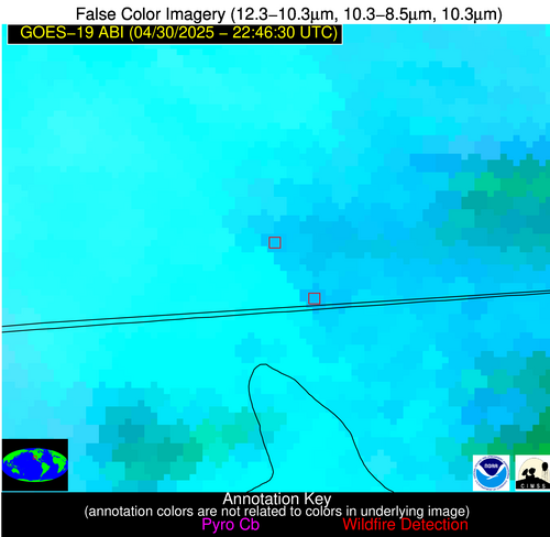
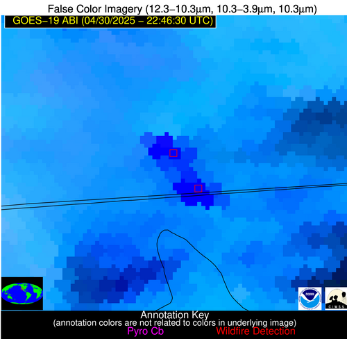
Possible Wildfire
| Basic Information | |
|---|---|
| State/Province(s) | CA |
| Country/Countries | United States |
| County/Locality(s) | Imperial County, CA |
| NWS WFO | Phoenix AZ |
| Identification Method | Enhanced Contextual (Cloud) |
| Mean Object Date/Time | 2025-04-30 22:47:18UTC |
| Radiative Center (Lat, Lon): | 32.741390°, -115.703613° |
| Nearby Counties (meeting alert criteria): |
|
| Total Radiative Power Anomaly | n/a |
| Total Radiative Power | 975.27 MW |
| Map: | |
| Additional Information | |
| Alert Status | New Feature |
| Type of Event | Solar panel (database + spectral) |
| Event Priority Ranking | 5 |
| Maximum Observed BT (3.9 um) | 341.72 K |
| Observed - Background BT (3.9 um) | 32.67 K |
| BT Anomaly (3.9 um) | 10.67 K |
| Maximum Observed - Clear RTM BT (3.9 um) | 35.55 K |
| Maximum Observed BTD (3.9-10/11/12 um) | 52.29 K |
| Observed - Background BTD (3.9-10/11/12 um) | 34.08 K |
| BTD Anomaly (3.9-10/11/12 um) | 13.32 K |
| Similar Pixel Count | 0 |
| BT Time Tendency (3.9 um) | 30.20 K |
| Image Interval | 5.00 minutes |
| Fraction of Surrounding LWIR Pixels that are Colder | 0.13 |
| Fraction of Surrounding Red Channel Pixels that are Brighter | 0.00 |
| Maximum Radiative Power | 454.54 MW |
| Maximum Radiative Power Uncertainty | 0.00 MW |
| Total Radiative Power Uncertainty | 0.00 MW |
| Mean Viewing Angle | 57.90° |
| Mean Solar Zenith Angle | 46.00° |
| Mean Glint Angle | 36.30° |
| Water Fraction | 0.00 |
| Total Pixel Area | 30.10 km2 |
| Latest Satellite Imagery: | |
| View all event imagery » | |
Possible Wildfire
| Basic Information | |
|---|---|
| State/Province(s) | CA |
| Country/Countries | United States |
| County/Locality(s) | Imperial County, CA |
| NWS WFO | Phoenix AZ |
| Identification Method | Enhanced Contextual (Cloud) |
| Mean Object Date/Time | 2025-04-30 22:47:18UTC |
| Radiative Center (Lat, Lon): | 32.665833°, -115.652779° |
| Nearby Counties (meeting alert criteria): |
|
| Total Radiative Power Anomaly | n/a |
| Total Radiative Power | 1677.36 MW |
| Map: | |
| Additional Information | |
| Alert Status | New Feature |
| Type of Event | Solar panel (database + spectral) |
| Event Priority Ranking | 5 |
| Maximum Observed BT (3.9 um) | 357.66 K |
| Observed - Background BT (3.9 um) | 46.58 K |
| BT Anomaly (3.9 um) | 17.60 K |
| Maximum Observed - Clear RTM BT (3.9 um) | 52.31 K |
| Maximum Observed BTD (3.9-10/11/12 um) | 63.23 K |
| Observed - Background BTD (3.9-10/11/12 um) | 46.41 K |
| BTD Anomaly (3.9-10/11/12 um) | 17.43 K |
| Similar Pixel Count | 0 |
| BT Time Tendency (3.9 um) | 40.60 K |
| Image Interval | 5.00 minutes |
| Fraction of Surrounding LWIR Pixels that are Colder | 0.47 |
| Fraction of Surrounding Red Channel Pixels that are Brighter | 0.00 |
| Maximum Radiative Power | 619.76 MW |
| Maximum Radiative Power Uncertainty | 0.00 MW |
| Total Radiative Power Uncertainty | 0.00 MW |
| Mean Viewing Angle | 57.80° |
| Mean Solar Zenith Angle | 46.00° |
| Mean Glint Angle | 36.20° |
| Water Fraction | 0.00 |
| Total Pixel Area | 30.00 km2 |
| Latest Satellite Imagery: | |
| View all event imagery » | |


