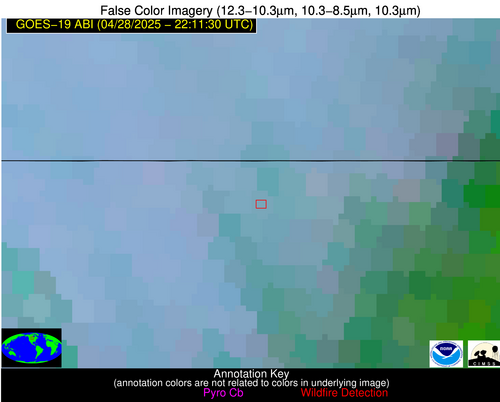
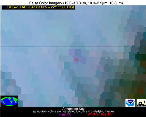
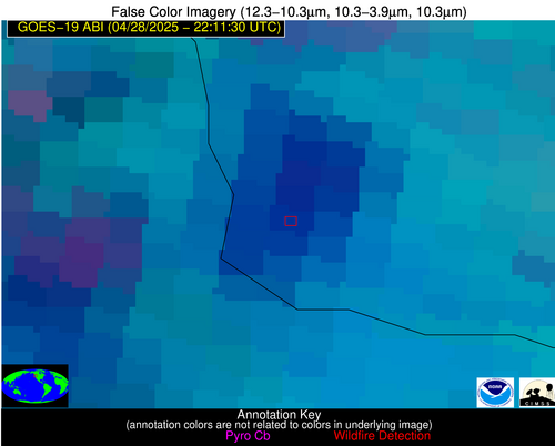
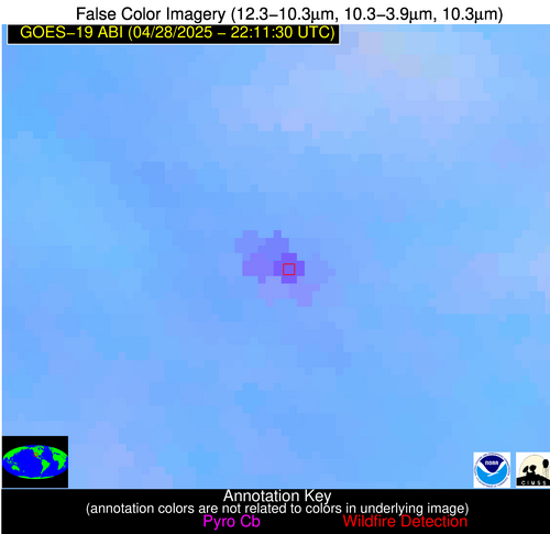
Wildfire Alert Report
| Date: | 2025-04-28 |
|---|---|
| Time: | 22:11:17 |
| Production Date and Time: | 2025-04-28 22:16:20 UTC |
| Primary Instrument: | GOES-19 ABI |
| Wmo Spacecraft Id: | 666 |
| Location/orbit: | GEO |
| L1 File: | OR_ABI-L1b-RadC-M6C14_G19_s20251182211173_e20251182213546_c20251182214039.nc |
| L1 File(s) - Temporal | OR_ABI-L1b-RadC-M6C14_G19_s20251182206173_e20251182208546_c20251182209043.nc |
| Number Of Thermal Anomaly Alerts: | 4 |
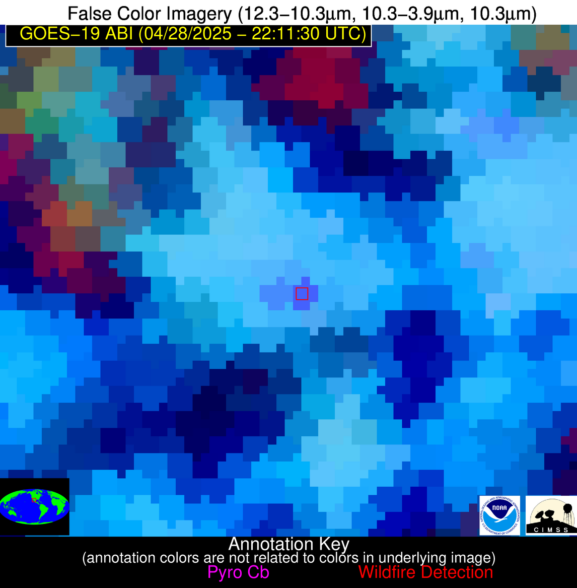
Possible Wildfire
| Basic Information | |
|---|---|
| State/Province(s) | ND |
| Country/Countries | United States |
| County/Locality(s) | Bottineau County, ND |
| NWS WFO | Bismarck ND |
| Identification Method | Enhanced Contextual (Clear) |
| Mean Object Date/Time | 2025-04-28 22:11:20UTC |
| Radiative Center (Lat, Lon): | 48.936943°, -101.193611° |
| Nearby Counties (meeting alert criteria): |
|
| Total Radiative Power Anomaly | n/a |
| Total Radiative Power | 10.87 MW |
| Map: | |
| Additional Information | |
| Alert Status | New Feature |
| Type of Event | Nominal Risk |
| Event Priority Ranking | 4 |
| Maximum Observed BT (3.9 um) | 291.30 K |
| Observed - Background BT (3.9 um) | 3.01 K |
| BT Anomaly (3.9 um) | 4.49 K |
| Maximum Observed - Clear RTM BT (3.9 um) | 10.51 K |
| Maximum Observed BTD (3.9-10/11/12 um) | 14.11 K |
| Observed - Background BTD (3.9-10/11/12 um) | 4.08 K |
| BTD Anomaly (3.9-10/11/12 um) | 5.10 K |
| Similar Pixel Count | 20 |
| BT Time Tendency (3.9 um) | 1.30 K |
| Image Interval | 5.00 minutes |
| Fraction of Surrounding LWIR Pixels that are Colder | 0.40 |
| Fraction of Surrounding Red Channel Pixels that are Brighter | 1.00 |
| Maximum Radiative Power | 10.87 MW |
| Maximum Radiative Power Uncertainty | 0.00 MW |
| Total Radiative Power Uncertainty | 0.00 MW |
| Mean Viewing Angle | 61.80° |
| Mean Solar Zenith Angle | 55.20° |
| Mean Glint Angle | 65.00° |
| Water Fraction | 0.00 |
| Total Pixel Area | 8.50 km2 |
| Latest Satellite Imagery: | |
| View all event imagery » | |
Possible Wildfire
| Basic Information | |
|---|---|
| State/Province(s) | WA |
| Country/Countries | United States |
| County/Locality(s) | Clark County, WA |
| NWS WFO | Portland OR |
| Identification Method | Enhanced Contextual (Clear) |
| Mean Object Date/Time | 2025-04-28 22:11:18UTC |
| Radiative Center (Lat, Lon): | 45.715557°, -122.675552° |
| Nearby Counties (meeting alert criteria): |
|
| Total Radiative Power Anomaly | n/a |
| Total Radiative Power | 59.98 MW |
| Map: | |
| Additional Information | |
| Alert Status | New Feature |
| Type of Event | Nominal Risk |
| Event Priority Ranking | 4 |
| Maximum Observed BT (3.9 um) | 296.33 K |
| Observed - Background BT (3.9 um) | 8.30 K |
| BT Anomaly (3.9 um) | 2.77 K |
| Maximum Observed - Clear RTM BT (3.9 um) | 12.95 K |
| Maximum Observed BTD (3.9-10/11/12 um) | 28.51 K |
| Observed - Background BTD (3.9-10/11/12 um) | 8.44 K |
| BTD Anomaly (3.9-10/11/12 um) | 2.87 K |
| Similar Pixel Count | 19 |
| BT Time Tendency (3.9 um) | 1.60 K |
| Image Interval | 5.00 minutes |
| Fraction of Surrounding LWIR Pixels that are Colder | 0.33 |
| Fraction of Surrounding Red Channel Pixels that are Brighter | 0.54 |
| Maximum Radiative Power | 59.98 MW |
| Maximum Radiative Power Uncertainty | 0.00 MW |
| Total Radiative Power Uncertainty | 0.00 MW |
| Mean Viewing Angle | 70.50° |
| Mean Solar Zenith Angle | 41.10° |
| Mean Glint Angle | 65.10° |
| Water Fraction | 0.00 |
| Total Pixel Area | 12.00 km2 |
| Latest Satellite Imagery: | |
| View all event imagery » | |
Possible Wildfire
| Basic Information | |
|---|---|
| State/Province(s) | AZ |
| Country/Countries | United States |
| County/Locality(s) | Pima County, AZ |
| NWS WFO | Tucson AZ |
| Identification Method | Enhanced Contextual (Cloud) |
| Mean Object Date/Time | 2025-04-28 22:12:18UTC |
| Radiative Center (Lat, Lon): | 32.188889°, -110.856667° |
| Nearby Counties (meeting alert criteria): |
|
| Total Radiative Power Anomaly | n/a |
| Total Radiative Power | 75.53 MW |
| Map: | |
| Additional Information | |
| Alert Status | New Feature |
| Type of Event | Solar panel (database + spectral) |
| Event Priority Ranking | 5 |
| Maximum Observed BT (3.9 um) | 324.91 K |
| Observed - Background BT (3.9 um) | 12.32 K |
| BT Anomaly (3.9 um) | 7.17 K |
| Maximum Observed - Clear RTM BT (3.9 um) | 24.01 K |
| Maximum Observed BTD (3.9-10/11/12 um) | 18.97 K |
| Observed - Background BTD (3.9-10/11/12 um) | 11.62 K |
| BTD Anomaly (3.9-10/11/12 um) | 15.61 K |
| Similar Pixel Count | 0 |
| BT Time Tendency (3.9 um) | 9.50 K |
| Image Interval | 5.00 minutes |
| Fraction of Surrounding LWIR Pixels that are Colder | 0.74 |
| Fraction of Surrounding Red Channel Pixels that are Brighter | 0.00 |
| Maximum Radiative Power | 75.53 MW |
| Maximum Radiative Power Uncertainty | 0.00 MW |
| Total Radiative Power Uncertainty | 0.00 MW |
| Mean Viewing Angle | 53.80° |
| Mean Solar Zenith Angle | 42.90° |
| Mean Glint Angle | 39.40° |
| Water Fraction | 0.00 |
| Total Pixel Area | 6.80 km2 |
| Latest Satellite Imagery: | |
| View all event imagery » | |
Possible Wildfire
| Basic Information | |
|---|---|
| State/Province(s) | Chihuahua |
| Country/Countries | Mexico |
| County/Locality(s) | Urique, Chihuahua |
| NWS WFO | N/A |
| Identification Method | Enhanced Contextual (Cloud) |
| Mean Object Date/Time | 2025-04-28 22:12:48UTC |
| Radiative Center (Lat, Lon): | 27.559723°, -108.001114° |
| Nearby Counties (meeting alert criteria): |
|
| Total Radiative Power Anomaly | n/a |
| Total Radiative Power | 44.72 MW |
| Map: | |
| Additional Information | |
| Alert Status | New Feature |
| Type of Event | Nominal Risk |
| Event Priority Ranking | 4 |
| Maximum Observed BT (3.9 um) | 312.07 K |
| Observed - Background BT (3.9 um) | 12.04 K |
| BT Anomaly (3.9 um) | 5.52 K |
| Maximum Observed - Clear RTM BT (3.9 um) | 17.98 K |
| Maximum Observed BTD (3.9-10/11/12 um) | 20.01 K |
| Observed - Background BTD (3.9-10/11/12 um) | 11.83 K |
| BTD Anomaly (3.9-10/11/12 um) | 5.34 K |
| Similar Pixel Count | 0 |
| BT Time Tendency (3.9 um) | 9.60 K |
| Image Interval | 5.00 minutes |
| Fraction of Surrounding LWIR Pixels that are Colder | 0.95 |
| Fraction of Surrounding Red Channel Pixels that are Brighter | 1.00 |
| Maximum Radiative Power | 44.72 MW |
| Maximum Radiative Power Uncertainty | 0.00 MW |
| Total Radiative Power Uncertainty | 0.00 MW |
| Mean Viewing Angle | 48.60° |
| Mean Solar Zenith Angle | 44.40° |
| Mean Glint Angle | 31.80° |
| Water Fraction | 0.00 |
| Total Pixel Area | 6.00 km2 |
| Latest Satellite Imagery: | |
| View all event imagery » | |
