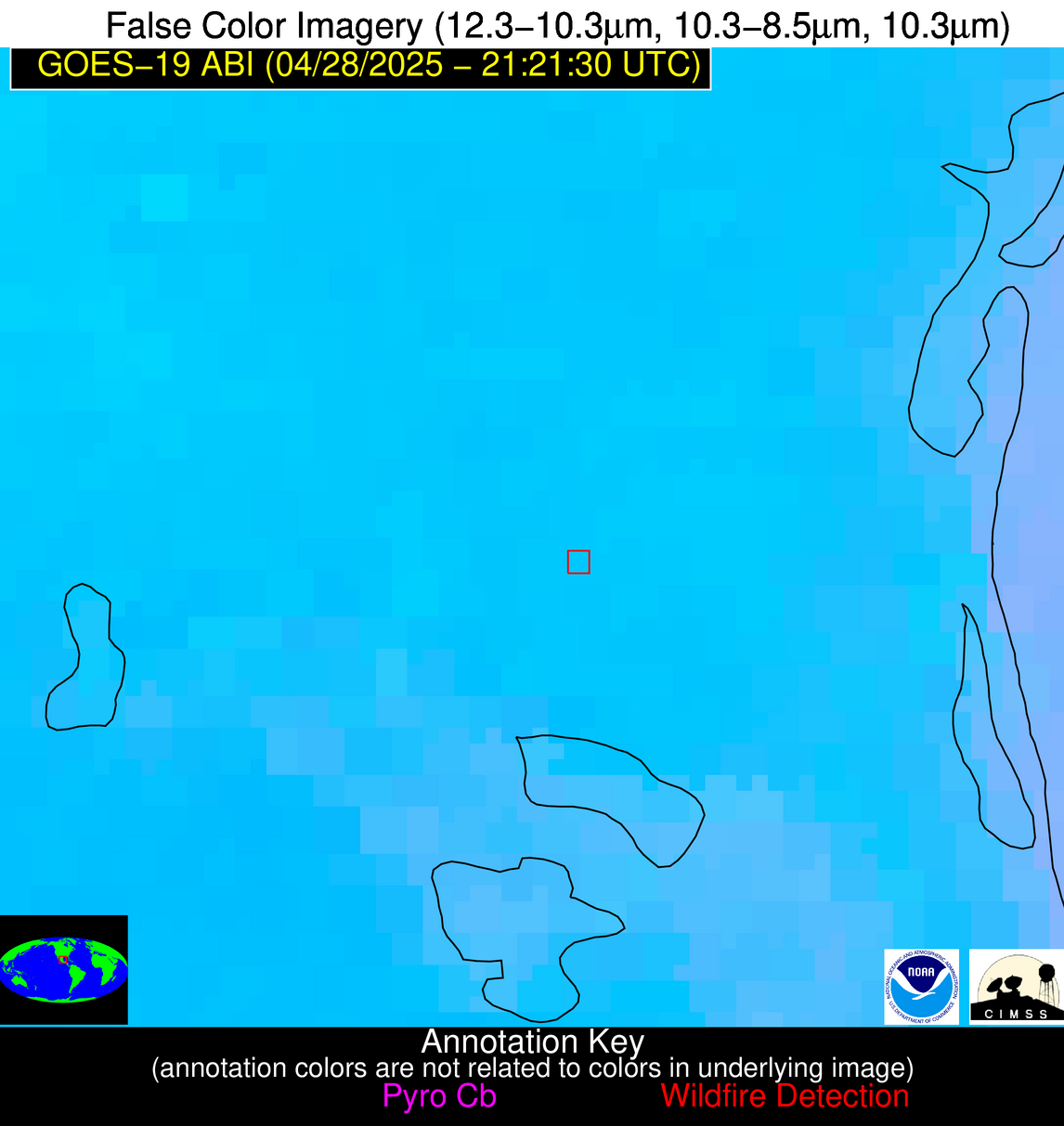
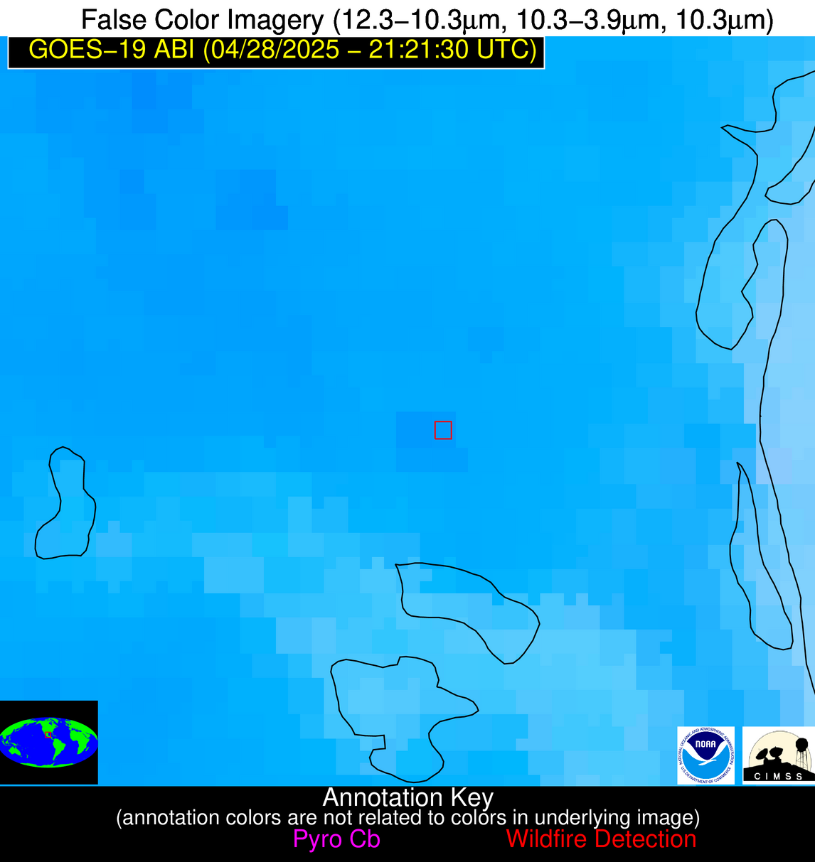
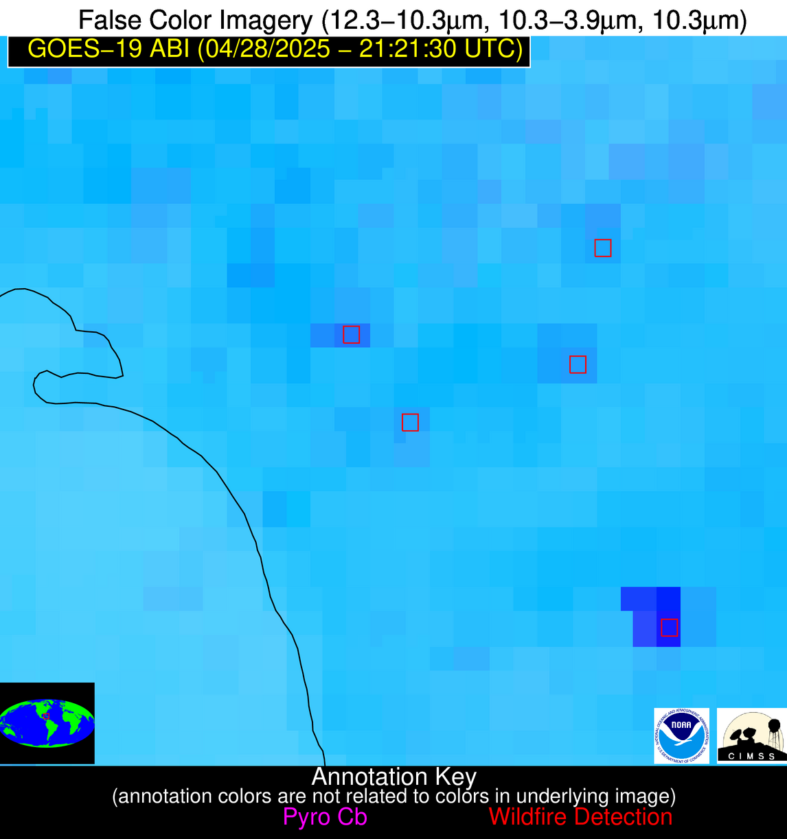
Wildfire Alert Report
| Date: | 2025-04-28 |
|---|---|
| Time: | 21:21:17 |
| Production Date and Time: | 2025-04-28 21:26:17 UTC |
| Primary Instrument: | GOES-19 ABI |
| Wmo Spacecraft Id: | 666 |
| Location/orbit: | GEO |
| L1 File: | OR_ABI-L1b-RadC-M6C14_G19_s20251182121173_e20251182123546_c20251182124030.nc |
| L1 File(s) - Temporal | OR_ABI-L1b-RadC-M6C14_G19_s20251182116173_e20251182118546_c20251182119039.nc |
| Number Of Thermal Anomaly Alerts: | 5 |
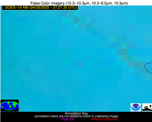
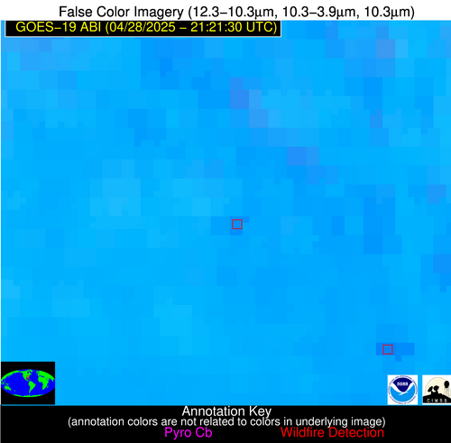
Possible Wildfire
| Basic Information | |
|---|---|
| State/Province(s) | Ontario |
| Country/Countries | Canada |
| County/Locality(s) | Renfrew, Ontario |
| NWS WFO | N/A |
| Identification Method | Enhanced Contextual (Clear) |
| Mean Object Date/Time | 2025-04-28 21:21:22UTC |
| Radiative Center (Lat, Lon): | 45.912224°, -77.510277° |
| Nearby Counties (meeting alert criteria): |
|
| Total Radiative Power Anomaly | n/a |
| Total Radiative Power | 27.86 MW |
| Map: | |
| Additional Information | |
| Alert Status | New Feature |
| Type of Event | Nominal Risk |
| Event Priority Ranking | 4 |
| Maximum Observed BT (3.9 um) | 296.51 K |
| Observed - Background BT (3.9 um) | 5.42 K |
| BT Anomaly (3.9 um) | 7.50 K |
| Maximum Observed - Clear RTM BT (3.9 um) | 10.99 K |
| Maximum Observed BTD (3.9-10/11/12 um) | 14.07 K |
| Observed - Background BTD (3.9-10/11/12 um) | 4.76 K |
| BTD Anomaly (3.9-10/11/12 um) | 7.51 K |
| Similar Pixel Count | 19 |
| BT Time Tendency (3.9 um) | 2.40 K |
| Image Interval | 5.00 minutes |
| Fraction of Surrounding LWIR Pixels that are Colder | 0.73 |
| Fraction of Surrounding Red Channel Pixels that are Brighter | 1.00 |
| Maximum Radiative Power | 13.96 MW |
| Maximum Radiative Power Uncertainty | 0.00 MW |
| Total Radiative Power Uncertainty | 0.00 MW |
| Mean Viewing Angle | 53.20° |
| Mean Solar Zenith Angle | 61.70° |
| Mean Glint Angle | 78.00° |
| Water Fraction | 0.00 |
| Total Pixel Area | 13.30 km2 |
| Latest Satellite Imagery: | |
| View all event imagery » | |
Possible Wildfire
| Basic Information | |
|---|---|
| State/Province(s) | GA |
| Country/Countries | United States |
| County/Locality(s) | Early County, GA |
| NWS WFO | Tallahassee FL |
| Identification Method | Enhanced Contextual (Clear) |
| Mean Object Date/Time | 2025-04-28 21:22:21UTC |
| Radiative Center (Lat, Lon): | 31.337778°, -84.731941° |
| Nearby Counties (meeting alert criteria): |
|
| Total Radiative Power Anomaly | n/a |
| Total Radiative Power | 12.48 MW |
| Map: | |
| Additional Information | |
| Alert Status | New Feature |
| Type of Event | Nominal Risk |
| Event Priority Ranking | 4 |
| Maximum Observed BT (3.9 um) | 307.35 K |
| Observed - Background BT (3.9 um) | 5.32 K |
| BT Anomaly (3.9 um) | 3.89 K |
| Maximum Observed - Clear RTM BT (3.9 um) | 10.46 K |
| Maximum Observed BTD (3.9-10/11/12 um) | 15.48 K |
| Observed - Background BTD (3.9-10/11/12 um) | 4.30 K |
| BTD Anomaly (3.9-10/11/12 um) | 3.75 K |
| Similar Pixel Count | 20 |
| BT Time Tendency (3.9 um) | 2.60 K |
| Image Interval | 5.00 minutes |
| Fraction of Surrounding LWIR Pixels that are Colder | 0.95 |
| Fraction of Surrounding Red Channel Pixels that are Brighter | 0.62 |
| Maximum Radiative Power | 12.48 MW |
| Maximum Radiative Power Uncertainty | 0.00 MW |
| Total Radiative Power Uncertainty | 0.00 MW |
| Mean Viewing Angle | 38.10° |
| Mean Solar Zenith Angle | 54.20° |
| Mean Glint Angle | 55.30° |
| Water Fraction | 0.00 |
| Total Pixel Area | 5.10 km2 |
| Latest Satellite Imagery: | |
| View all event imagery » | |
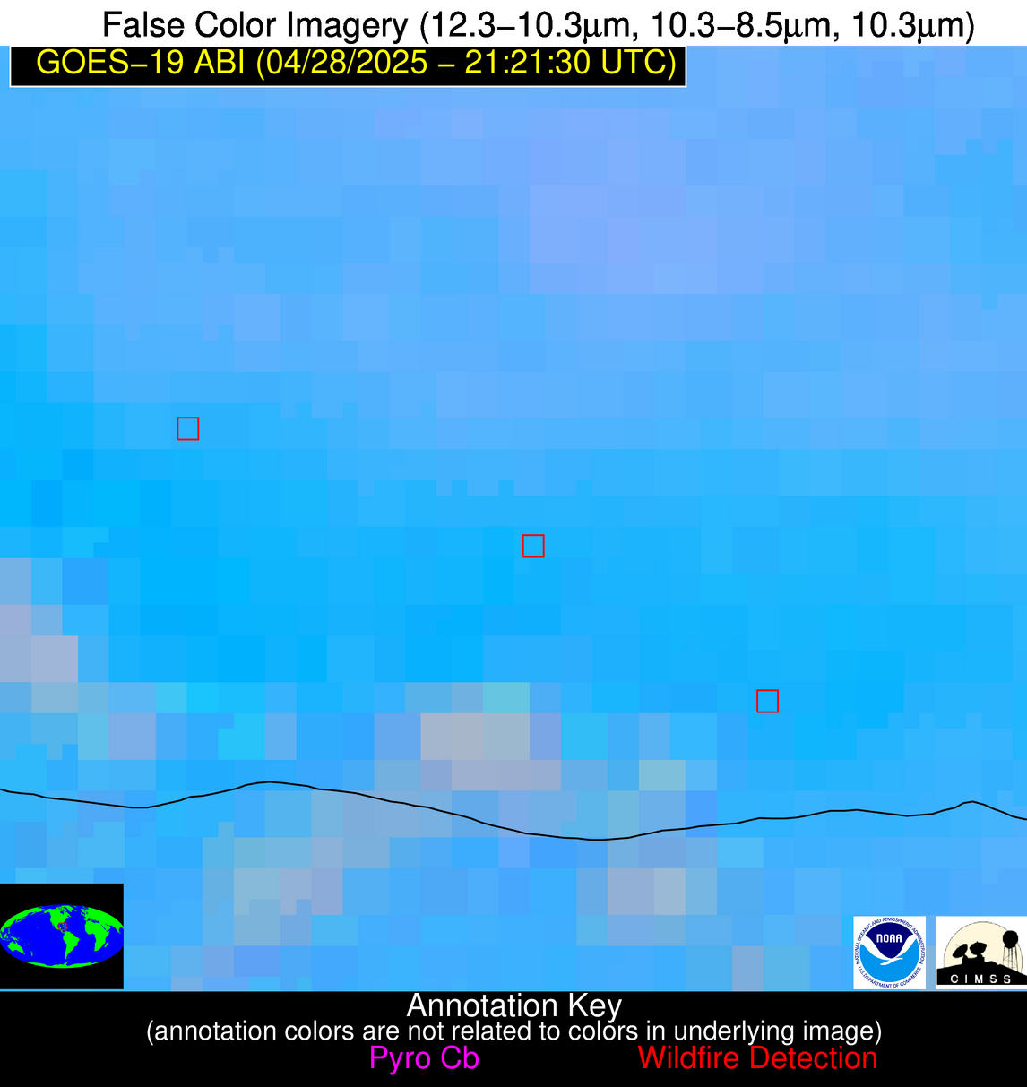
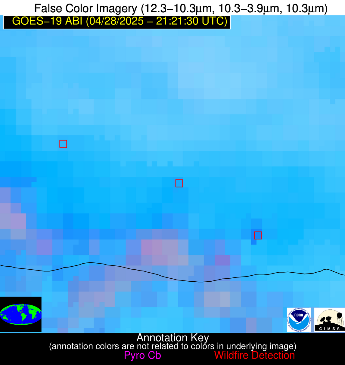
Possible Wildfire
| Basic Information | |
|---|---|
| State/Province(s) | Unknown |
| Country/Countries | Cuba |
| County/Locality(s) | Unknown, Unknown |
| NWS WFO | N/A |
| Identification Method | Enhanced Contextual (Clear) |
| Mean Object Date/Time | 2025-04-28 21:23:22UTC |
| Radiative Center (Lat, Lon): | 22.818056°, -82.119720° |
| Nearby Counties (meeting alert criteria): |
|
| Total Radiative Power Anomaly | n/a |
| Total Radiative Power | 5.70 MW |
| Map: | |
| Additional Information | |
| Alert Status | New Feature |
| Type of Event | Nominal Risk |
| Event Priority Ranking | 4 |
| Maximum Observed BT (3.9 um) | 307.42 K |
| Observed - Background BT (3.9 um) | 3.70 K |
| BT Anomaly (3.9 um) | 1.84 K |
| Maximum Observed - Clear RTM BT (3.9 um) | 7.73 K |
| Maximum Observed BTD (3.9-10/11/12 um) | 11.00 K |
| Observed - Background BTD (3.9-10/11/12 um) | 4.06 K |
| BTD Anomaly (3.9-10/11/12 um) | 1.93 K |
| Similar Pixel Count | 20 |
| BT Time Tendency (3.9 um) | 1.10 K |
| Image Interval | 5.00 minutes |
| Fraction of Surrounding LWIR Pixels that are Colder | 0.46 |
| Fraction of Surrounding Red Channel Pixels that are Brighter | 1.00 |
| Maximum Radiative Power | 5.70 MW |
| Maximum Radiative Power Uncertainty | 0.00 MW |
| Total Radiative Power Uncertainty | 0.00 MW |
| Mean Viewing Angle | 28.00° |
| Mean Solar Zenith Angle | 56.30° |
| Mean Glint Angle | 51.80° |
| Water Fraction | 0.00 |
| Total Pixel Area | 4.50 km2 |
| Latest Satellite Imagery: | |
| View all event imagery » | |
Possible Wildfire
| Basic Information | |
|---|---|
| State/Province(s) | Tamaulipas |
| Country/Countries | Mexico |
| County/Locality(s) | Altamira, Tamaulipas |
| NWS WFO | N/A |
| Identification Method | Enhanced Contextual (Clear) |
| Mean Object Date/Time | 2025-04-28 21:23:19UTC |
| Radiative Center (Lat, Lon): | 22.525555°, -98.065552° |
| Nearby Counties (meeting alert criteria): |
|
| Total Radiative Power Anomaly | n/a |
| Total Radiative Power | 16.45 MW |
| Map: | |
| Additional Information | |
| Alert Status | New Feature |
| Type of Event | Nominal Risk |
| Event Priority Ranking | 4 |
| Maximum Observed BT (3.9 um) | 315.81 K |
| Observed - Background BT (3.9 um) | 2.60 K |
| BT Anomaly (3.9 um) | 1.14 K |
| Maximum Observed - Clear RTM BT (3.9 um) | 10.60 K |
| Maximum Observed BTD (3.9-10/11/12 um) | 14.27 K |
| Observed - Background BTD (3.9-10/11/12 um) | 2.37 K |
| BTD Anomaly (3.9-10/11/12 um) | 1.32 K |
| Similar Pixel Count | 25 |
| BT Time Tendency (3.9 um) | 0.60 K |
| Image Interval | 5.00 minutes |
| Fraction of Surrounding LWIR Pixels that are Colder | 0.70 |
| Fraction of Surrounding Red Channel Pixels that are Brighter | 1.00 |
| Maximum Radiative Power | 9.01 MW |
| Maximum Radiative Power Uncertainty | 0.00 MW |
| Total Radiative Power Uncertainty | 0.00 MW |
| Mean Viewing Angle | 37.00° |
| Mean Solar Zenith Angle | 41.50° |
| Mean Glint Angle | 29.30° |
| Water Fraction | 0.00 |
| Total Pixel Area | 10.00 km2 |
| Latest Satellite Imagery: | |
| View all event imagery » | |
Possible Wildfire
| Basic Information | |
|---|---|
| State/Province(s) | Unknown |
| Country/Countries | Cuba |
| County/Locality(s) | Unknown, Unknown |
| NWS WFO | N/A |
| Identification Method | Enhanced Contextual (Clear) |
| Mean Object Date/Time | 2025-04-28 21:23:22UTC |
| Radiative Center (Lat, Lon): | 21.547777°, -78.486946° |
| Nearby Counties (meeting alert criteria): |
|
| Total Radiative Power Anomaly | n/a |
| Total Radiative Power | 11.48 MW |
| Map: | |
| Additional Information | |
| Alert Status | New Feature |
| Type of Event | Nominal Risk |
| Event Priority Ranking | 4 |
| Maximum Observed BT (3.9 um) | 307.57 K |
| Observed - Background BT (3.9 um) | 3.26 K |
| BT Anomaly (3.9 um) | 1.56 K |
| Maximum Observed - Clear RTM BT (3.9 um) | 4.62 K |
| Maximum Observed BTD (3.9-10/11/12 um) | 11.31 K |
| Observed - Background BTD (3.9-10/11/12 um) | 3.19 K |
| BTD Anomaly (3.9-10/11/12 um) | 2.04 K |
| Similar Pixel Count | 20 |
| BT Time Tendency (3.9 um) | 2.90 K |
| Image Interval | 5.00 minutes |
| Fraction of Surrounding LWIR Pixels that are Colder | 0.56 |
| Fraction of Surrounding Red Channel Pixels that are Brighter | 1.00 |
| Maximum Radiative Power | 11.48 MW |
| Maximum Radiative Power Uncertainty | 0.00 MW |
| Total Radiative Power Uncertainty | 0.00 MW |
| Mean Viewing Angle | 25.60° |
| Mean Solar Zenith Angle | 59.70° |
| Mean Glint Angle | 57.50° |
| Water Fraction | 0.00 |
| Total Pixel Area | 4.40 km2 |
| Latest Satellite Imagery: | |
| View all event imagery » | |
