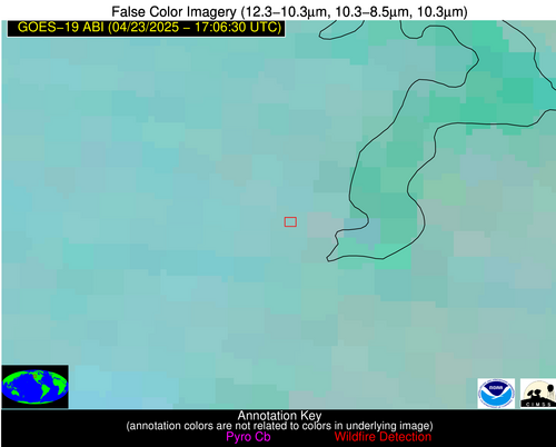
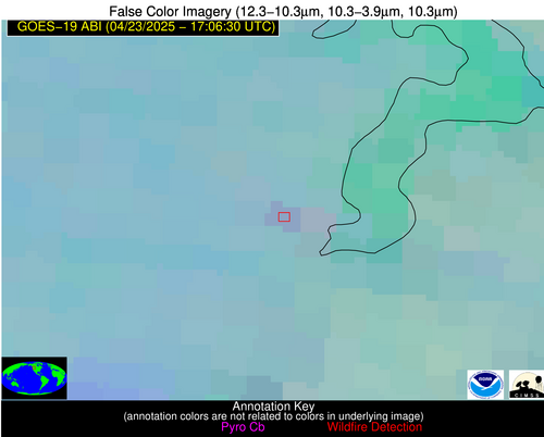
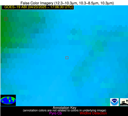
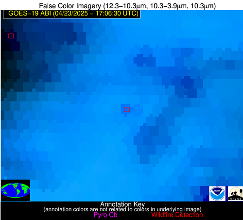
10 Jan 2026: Notice to users: ongoing data center construction may unexpectedly interrupt NGFS product generation.
Wildfire Alert Report
| Date: | 2025-04-23 |
|---|---|
| Time: | 17:06:17 |
| Production Date and Time: | 2025-04-23 17:11:18 UTC |
| Primary Instrument: | GOES-19 ABI |
| Wmo Spacecraft Id: | 666 |
| Location/orbit: | GEO |
| L1 File: | OR_ABI-L1b-RadC-M6C14_G19_s20251131706178_e20251131708551_c20251131709045.nc |
| L1 File(s) - Temporal | OR_ABI-L1b-RadC-M6C14_G19_s20251131701178_e20251131703551_c20251131704041.nc |
| Number Of Thermal Anomaly Alerts: | 5 |
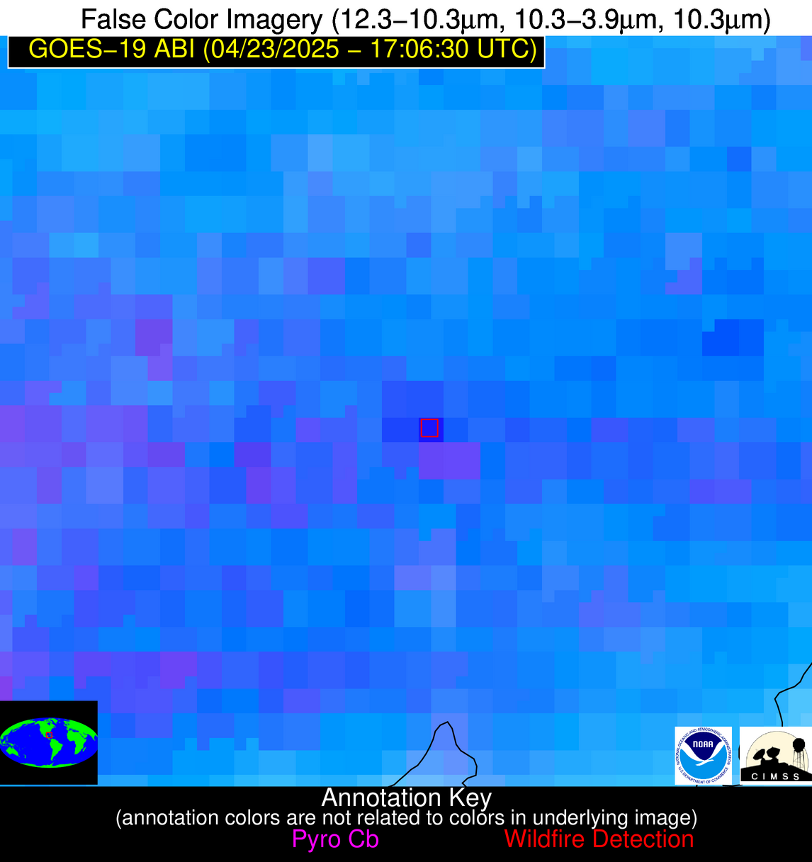
Possible Wildfire
| Basic Information | |
|---|---|
| State/Province(s) | ID |
| Country/Countries | United States |
| County/Locality(s) | Bonner County, ID |
| NWS WFO | Spokane WA |
| Identification Method | Enhanced Contextual (Clear) |
| Mean Object Date/Time | 2025-04-23 17:06:19UTC |
| Radiative Center (Lat, Lon): | 48.005280°, -116.611115° |
| Nearby Counties (meeting alert criteria): |
|
| Total Radiative Power Anomaly | n/a |
| Total Radiative Power | 14.59 MW |
| Map: | |
| Additional Information | |
| Alert Status | New Feature |
| Type of Event | Nominal Risk |
| Event Priority Ranking | 4 |
| Maximum Observed BT (3.9 um) | 289.10 K |
| Observed - Background BT (3.9 um) | 3.60 K |
| BT Anomaly (3.9 um) | 2.14 K |
| Maximum Observed - Clear RTM BT (3.9 um) | 7.86 K |
| Maximum Observed BTD (3.9-10/11/12 um) | 9.01 K |
| Observed - Background BTD (3.9-10/11/12 um) | 3.54 K |
| BTD Anomaly (3.9-10/11/12 um) | 4.63 K |
| Similar Pixel Count | 12 |
| BT Time Tendency (3.9 um) | 1.70 K |
| Image Interval | 5.00 minutes |
| Fraction of Surrounding LWIR Pixels that are Colder | 0.55 |
| Fraction of Surrounding Red Channel Pixels that are Brighter | 1.00 |
| Maximum Radiative Power | 14.59 MW |
| Maximum Radiative Power Uncertainty | 0.00 MW |
| Total Radiative Power Uncertainty | 0.00 MW |
| Mean Viewing Angle | 68.40° |
| Mean Solar Zenith Angle | 48.60° |
| Mean Glint Angle | 116.80° |
| Water Fraction | 0.00 |
| Total Pixel Area | 10.90 km2 |
| Latest Satellite Imagery: | |
| View all event imagery » | |
Possible Wildfire
| Basic Information | |
|---|---|
| State/Province(s) | KS |
| Country/Countries | United States |
| County/Locality(s) | Greenwood County, KS |
| NWS WFO | Wichita KS |
| Identification Method | Enhanced Contextual (Clear) |
| Mean Object Date/Time | 2025-04-23 17:06:50UTC |
| Radiative Center (Lat, Lon): | 37.972778°, -96.178886° |
| Nearby Counties (meeting alert criteria): |
|
| Total Radiative Power Anomaly | n/a |
| Total Radiative Power | 20.31 MW |
| Map: | |
| Additional Information | |
| Alert Status | New Feature |
| Type of Event | Nominal Risk |
| Event Priority Ranking | 4 |
| Maximum Observed BT (3.9 um) | 307.99 K |
| Observed - Background BT (3.9 um) | 4.86 K |
| BT Anomaly (3.9 um) | 5.69 K |
| Maximum Observed - Clear RTM BT (3.9 um) | 15.61 K |
| Maximum Observed BTD (3.9-10/11/12 um) | 20.43 K |
| Observed - Background BTD (3.9-10/11/12 um) | 4.78 K |
| BTD Anomaly (3.9-10/11/12 um) | 4.10 K |
| Similar Pixel Count | 25 |
| BT Time Tendency (3.9 um) | 3.20 K |
| Image Interval | 5.00 minutes |
| Fraction of Surrounding LWIR Pixels that are Colder | 0.75 |
| Fraction of Surrounding Red Channel Pixels that are Brighter | 0.74 |
| Maximum Radiative Power | 20.31 MW |
| Maximum Radiative Power Uncertainty | 0.00 MW |
| Total Radiative Power Uncertainty | 0.00 MW |
| Mean Viewing Angle | 49.40° |
| Mean Solar Zenith Angle | 30.90° |
| Mean Glint Angle | 80.20° |
| Water Fraction | 0.00 |
| Total Pixel Area | 6.10 km2 |
| Latest Satellite Imagery: | |
| View all event imagery » | |
Possible Wildfire
| Basic Information | |
|---|---|
| State/Province(s) | TN |
| Country/Countries | United States |
| County/Locality(s) | Sullivan County, TN |
| NWS WFO | Morristown TN |
| Identification Method | Enhanced Contextual (Clear) |
| Mean Object Date/Time | 2025-04-23 17:06:52UTC |
| Radiative Center (Lat, Lon): | 36.535831°, -82.538330° |
| Nearby Counties (meeting alert criteria): |
|
| Total Radiative Power Anomaly | n/a |
| Total Radiative Power | 33.50 MW |
| Map: | |
| Additional Information | |
| Alert Status | New Feature |
| Type of Event | Oil/gas |
| Event Priority Ranking | 5 |
| Maximum Observed BT (3.9 um) | 304.53 K |
| Observed - Background BT (3.9 um) | 5.74 K |
| BT Anomaly (3.9 um) | 6.03 K |
| Maximum Observed - Clear RTM BT (3.9 um) | 8.88 K |
| Maximum Observed BTD (3.9-10/11/12 um) | 28.39 K |
| Observed - Background BTD (3.9-10/11/12 um) | 5.61 K |
| BTD Anomaly (3.9-10/11/12 um) | 4.49 K |
| Similar Pixel Count | 25 |
| BT Time Tendency (3.9 um) | 1.10 K |
| Image Interval | 5.00 minutes |
| Fraction of Surrounding LWIR Pixels that are Colder | 0.45 |
| Fraction of Surrounding Red Channel Pixels that are Brighter | 0.94 |
| Maximum Radiative Power | 33.50 MW |
| Maximum Radiative Power Uncertainty | 0.00 MW |
| Total Radiative Power Uncertainty | 0.00 MW |
| Mean Viewing Angle | 43.30° |
| Mean Solar Zenith Angle | 24.80° |
| Mean Glint Angle | 68.10° |
| Water Fraction | 0.00 |
| Total Pixel Area | 11.00 km2 |
| Latest Satellite Imagery: | |
| View all event imagery » | |
Possible Wildfire
| Basic Information | |
|---|---|
| State/Province(s) | Tamaulipas |
| Country/Countries | Mexico |
| County/Locality(s) | San Fernando, Tamaulipas |
| NWS WFO | N/A |
| Identification Method | Enhanced Contextual (Clear) |
| Mean Object Date/Time | 2025-04-23 17:08:19UTC |
| Radiative Center (Lat, Lon): | 24.532223°, -97.874443° |
| Nearby Counties (meeting alert criteria): |
|
| Total Radiative Power Anomaly | n/a |
| Total Radiative Power | 35.49 MW |
| Map: | |
| Additional Information | |
| Alert Status | New Feature |
| Type of Event | Nominal Risk |
| Event Priority Ranking | 4 |
| Maximum Observed BT (3.9 um) | 316.28 K |
| Observed - Background BT (3.9 um) | 10.60 K |
| BT Anomaly (3.9 um) | 2.79 K |
| Maximum Observed - Clear RTM BT (3.9 um) | 12.16 K |
| Maximum Observed BTD (3.9-10/11/12 um) | 23.83 K |
| Observed - Background BTD (3.9-10/11/12 um) | 9.70 K |
| BTD Anomaly (3.9-10/11/12 um) | 2.61 K |
| Similar Pixel Count | 17 |
| BT Time Tendency (3.9 um) | 5.80 K |
| Image Interval | 5.00 minutes |
| Fraction of Surrounding LWIR Pixels that are Colder | 0.92 |
| Fraction of Surrounding Red Channel Pixels that are Brighter | 0.81 |
| Maximum Radiative Power | 35.49 MW |
| Maximum Radiative Power Uncertainty | 0.00 MW |
| Total Radiative Power Uncertainty | 0.00 MW |
| Mean Viewing Angle | 38.50° |
| Mean Solar Zenith Angle | 23.20° |
| Mean Glint Angle | 61.00° |
| Water Fraction | 0.00 |
| Total Pixel Area | 5.10 km2 |
| Latest Satellite Imagery: | |
| View all event imagery » | |
Possible Wildfire
| Basic Information | |
|---|---|
| State/Province(s) | Unknown |
| Country/Countries | Cuba |
| County/Locality(s) | Unknown, Unknown |
| NWS WFO | N/A |
| Identification Method | Enhanced Contextual (Cloud) |
| Mean Object Date/Time | 2025-04-23 17:08:21UTC |
| Radiative Center (Lat, Lon): | 22.441389°, -83.581108° |
| Nearby Counties (meeting alert criteria): |
|
| Total Radiative Power Anomaly | n/a |
| Total Radiative Power | 67.06 MW |
| Map: | |
| Additional Information | |
| Alert Status | New Feature |
| Type of Event | Nominal Risk |
| Event Priority Ranking | 4 |
| Maximum Observed BT (3.9 um) | 323.71 K |
| Observed - Background BT (3.9 um) | 12.93 K |
| BT Anomaly (3.9 um) | 6.65 K |
| Maximum Observed - Clear RTM BT (3.9 um) | 17.64 K |
| Maximum Observed BTD (3.9-10/11/12 um) | 31.20 K |
| Observed - Background BTD (3.9-10/11/12 um) | 13.58 K |
| BTD Anomaly (3.9-10/11/12 um) | 6.04 K |
| Similar Pixel Count | 0 |
| BT Time Tendency (3.9 um) | 7.80 K |
| Image Interval | 5.00 minutes |
| Fraction of Surrounding LWIR Pixels that are Colder | 0.21 |
| Fraction of Surrounding Red Channel Pixels that are Brighter | 0.42 |
| Maximum Radiative Power | 67.06 MW |
| Maximum Radiative Power Uncertainty | 0.00 MW |
| Total Radiative Power Uncertainty | 0.00 MW |
| Mean Viewing Angle | 28.10° |
| Mean Solar Zenith Angle | 12.00° |
| Mean Glint Angle | 39.90° |
| Water Fraction | 0.00 |
| Total Pixel Area | 4.50 km2 |
| Latest Satellite Imagery: | |
| View all event imagery » | |
