Jan 2026: Due to an ongoing data center cooling system construction project, NGFS data outages may occur with little or no notice. Bitterly cold air in Madison Jan 22-24 increases risk of outages.
Wildfire Alert Report
| Date: | 2025-04-22 |
|---|---|
| Time: | 13:56:17 |
| Production Date and Time: | 2025-04-22 14:01:01 UTC |
| Primary Instrument: | GOES-19 ABI |
| Wmo Spacecraft Id: | 666 |
| Location/orbit: | GEO |
| L1 File: | OR_ABI-L1b-RadC-M6C14_G19_s20251121356177_e20251121358550_c20251121359028.nc |
| L1 File(s) - Temporal | OR_ABI-L1b-RadC-M6C14_G19_s20251121351177_e20251121353550_c20251121354047.nc |
| Number Of Thermal Anomaly Alerts: | 4 |
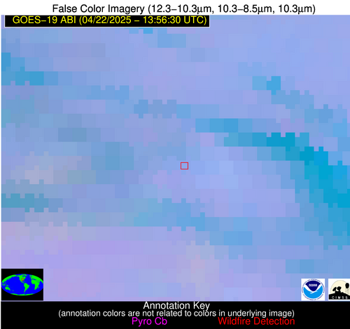
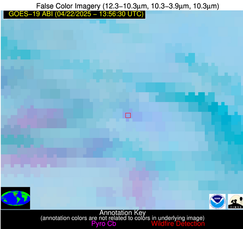
Possible Wildfire
| Basic Information | |
|---|---|
| State/Province(s) | AR |
| Country/Countries | United States |
| County/Locality(s) | Faulkner County, AR |
| NWS WFO | Little Rock AR |
| Identification Method | Enhanced Contextual (Clear) |
| Mean Object Date/Time | 2025-04-22 13:57:20UTC |
| Radiative Center (Lat, Lon): | 35.089169°, -92.499443° |
| Nearby Counties (meeting alert criteria): |
|
| Total Radiative Power Anomaly | n/a |
| Total Radiative Power | 13.39 MW |
| Map: | |
| Additional Information | |
| Alert Status | New Feature |
| Type of Event | Likely an Urban Source |
| Event Priority Ranking | 4 |
| Maximum Observed BT (3.9 um) | 296.00 K |
| Observed - Background BT (3.9 um) | 5.56 K |
| BT Anomaly (3.9 um) | 5.61 K |
| Maximum Observed - Clear RTM BT (3.9 um) | 9.18 K |
| Maximum Observed BTD (3.9-10/11/12 um) | 8.05 K |
| Observed - Background BTD (3.9-10/11/12 um) | 4.53 K |
| BTD Anomaly (3.9-10/11/12 um) | 4.86 K |
| Similar Pixel Count | 3 |
| BT Time Tendency (3.9 um) | 0.50 K |
| Image Interval | 5.00 minutes |
| Fraction of Surrounding LWIR Pixels that are Colder | 0.93 |
| Fraction of Surrounding Red Channel Pixels that are Brighter | 0.96 |
| Maximum Radiative Power | 13.39 MW |
| Maximum Radiative Power Uncertainty | 0.00 MW |
| Total Radiative Power Uncertainty | 0.00 MW |
| Mean Viewing Angle | 45.00° |
| Mean Solar Zenith Angle | 61.20° |
| Mean Glint Angle | 90.40° |
| Water Fraction | 0.00 |
| Total Pixel Area | 5.70 km2 |
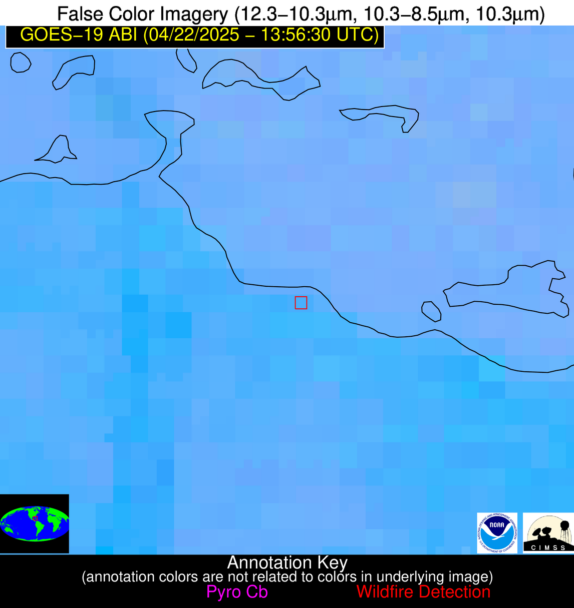
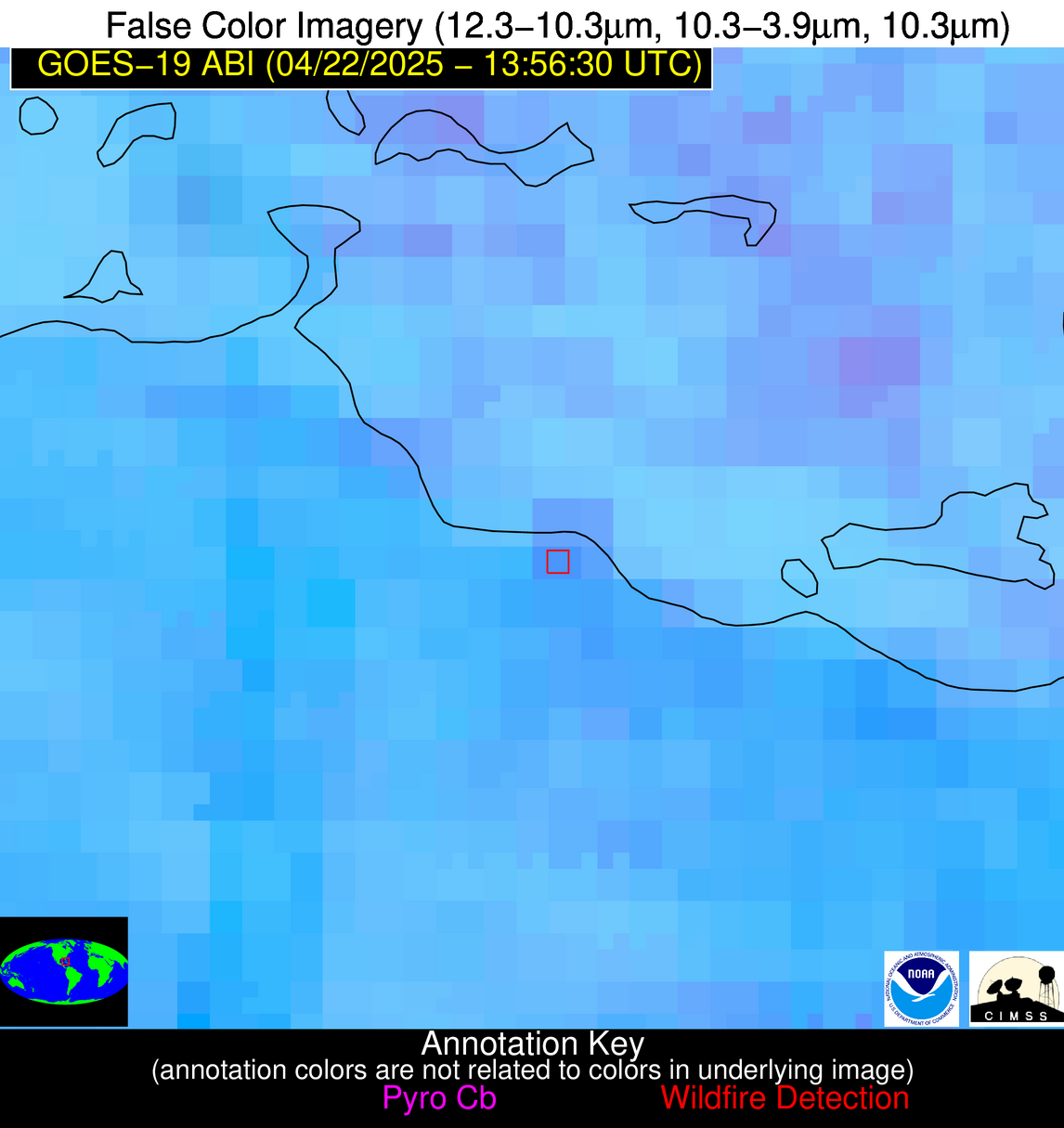
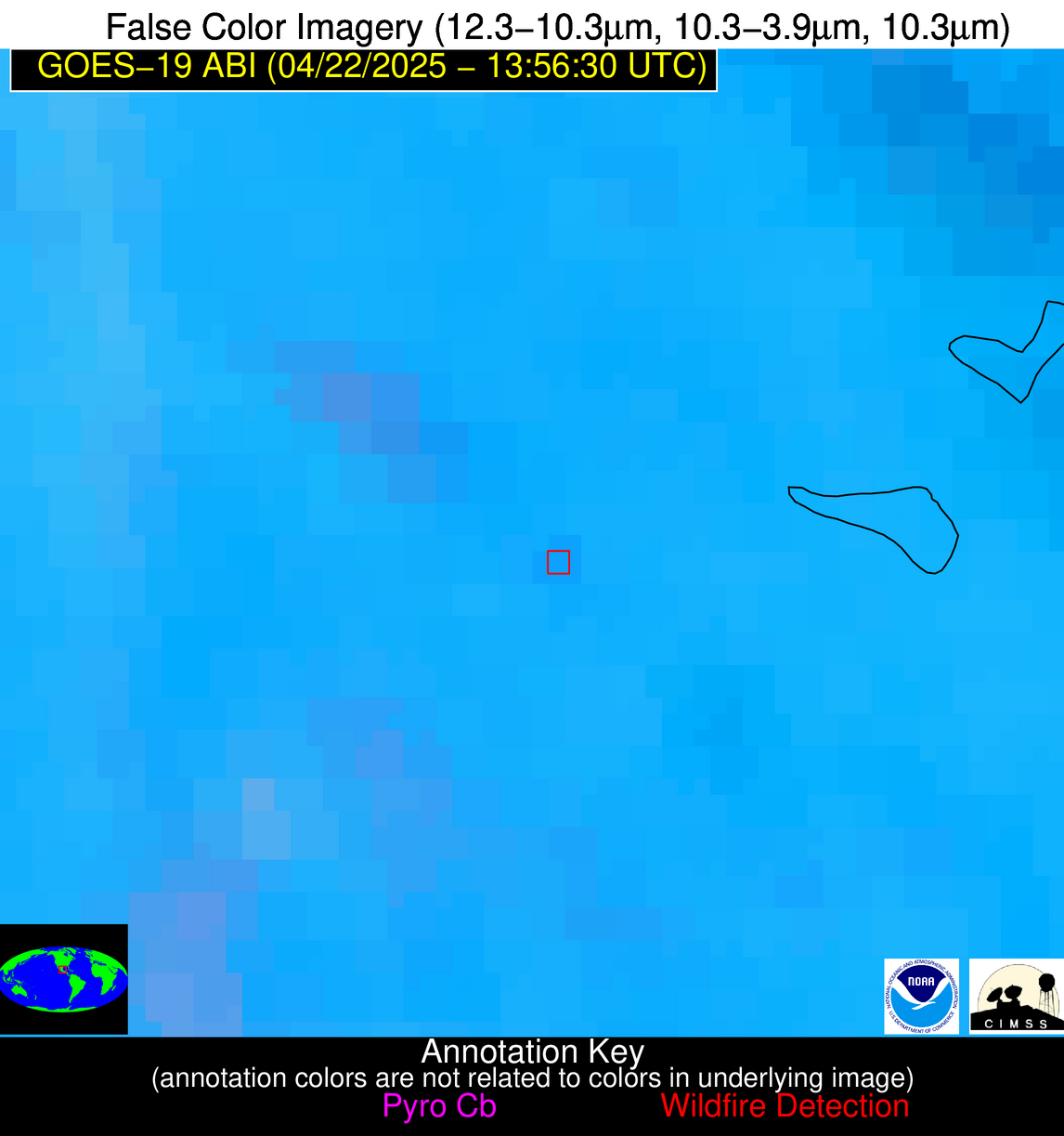
| Latest Satellite Imagery: | |
| View all event imagery » | |
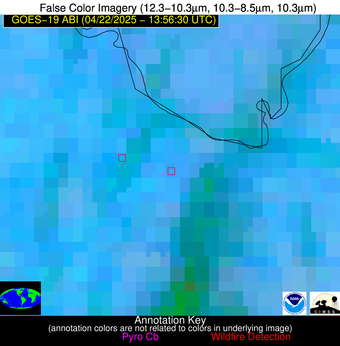
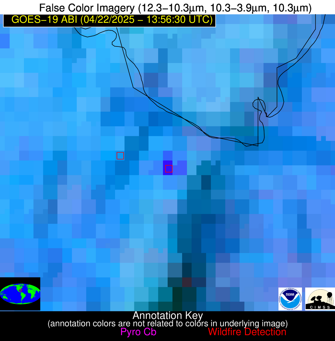
Possible Wildfire
| Basic Information | |
|---|---|
| State/Province(s) | FL |
| Country/Countries | United States |
| County/Locality(s) | Hendry County, FL |
| NWS WFO | Miami FL |
| Identification Method | Enhanced Contextual (Cloud) |
| Mean Object Date/Time | 2025-04-22 13:57:52UTC |
| Radiative Center (Lat, Lon): | 26.644167°, -80.888054° |
| Nearby Counties (meeting alert criteria): |
|
| Total Radiative Power Anomaly | n/a |
| Total Radiative Power | 113.39 MW |
| Map: | |
| Additional Information | |
| Alert Status | New Feature |
| Type of Event | Nominal Risk |
| Event Priority Ranking | 4 |
| Maximum Observed BT (3.9 um) | 322.69 K |
| Observed - Background BT (3.9 um) | 22.73 K |
| BT Anomaly (3.9 um) | 9.45 K |
| Maximum Observed - Clear RTM BT (3.9 um) | 26.15 K |
| Maximum Observed BTD (3.9-10/11/12 um) | 31.58 K |
| Observed - Background BTD (3.9-10/11/12 um) | 21.84 K |
| BTD Anomaly (3.9-10/11/12 um) | 10.78 K |
| Similar Pixel Count | 0 |
| BT Time Tendency (3.9 um) | 20.30 K |
| Image Interval | 5.00 minutes |
| Fraction of Surrounding LWIR Pixels that are Colder | 0.96 |
| Fraction of Surrounding Red Channel Pixels that are Brighter | 0.95 |
| Maximum Radiative Power | 113.39 MW |
| Maximum Radiative Power Uncertainty | 0.00 MW |
| Total Radiative Power Uncertainty | 0.00 MW |
| Mean Viewing Angle | 31.90° |
| Mean Solar Zenith Angle | 50.30° |
| Mean Glint Angle | 65.90° |
| Water Fraction | 0.00 |
| Total Pixel Area | 9.40 km2 |
| Latest Satellite Imagery: | |
| View all event imagery » | |
Possible Wildfire
| Basic Information | |
|---|---|
| State/Province(s) | Unknown |
| Country/Countries | Cuba |
| County/Locality(s) | Unknown, Unknown |
| NWS WFO | N/A |
| Identification Method | Enhanced Contextual (Clear) |
| Mean Object Date/Time | 2025-04-22 13:58:22UTC |
| Radiative Center (Lat, Lon): | 22.970556°, -80.485275° |
| Nearby Counties (meeting alert criteria): |
|
| Total Radiative Power Anomaly | n/a |
| Total Radiative Power | 16.65 MW |
| Map: | |
| Additional Information | |
| Alert Status | New Feature |
| Type of Event | Nominal Risk |
| Event Priority Ranking | 4 |
| Maximum Observed BT (3.9 um) | 307.80 K |
| Observed - Background BT (3.9 um) | 6.19 K |
| BT Anomaly (3.9 um) | 3.84 K |
| Maximum Observed - Clear RTM BT (3.9 um) | 9.33 K |
| Maximum Observed BTD (3.9-10/11/12 um) | 12.52 K |
| Observed - Background BTD (3.9-10/11/12 um) | 4.93 K |
| BTD Anomaly (3.9-10/11/12 um) | 3.31 K |
| Similar Pixel Count | 12 |
| BT Time Tendency (3.9 um) | 4.70 K |
| Image Interval | 5.00 minutes |
| Fraction of Surrounding LWIR Pixels that are Colder | 0.99 |
| Fraction of Surrounding Red Channel Pixels that are Brighter | 0.92 |
| Maximum Radiative Power | 16.65 MW |
| Maximum Radiative Power Uncertainty | 0.00 MW |
| Total Radiative Power Uncertainty | 0.00 MW |
| Mean Viewing Angle | 27.70° |
| Mean Solar Zenith Angle | 49.70° |
| Mean Glint Angle | 62.00° |
| Water Fraction | 0.00 |
| Total Pixel Area | 4.50 km2 |
| Latest Satellite Imagery: | |
| View all event imagery » | |
Possible Wildfire
| Basic Information | |
|---|---|
| State/Province(s) | San Luis Potosí |
| Country/Countries | Mexico |
| County/Locality(s) | Tamuín, San Luis Potosí |
| NWS WFO | N/A |
| Identification Method | Enhanced Contextual (Clear) |
| Mean Object Date/Time | 2025-04-22 13:58:19UTC |
| Radiative Center (Lat, Lon): | 22.004444°, -98.675003° |
| Nearby Counties (meeting alert criteria): |
|
| Total Radiative Power Anomaly | n/a |
| Total Radiative Power | 5.12 MW |
| Map: | |
| Additional Information | |
| Alert Status | New Feature |
| Type of Event | Nominal Risk |
| Event Priority Ranking | 4 |
| Maximum Observed BT (3.9 um) | 301.23 K |
| Observed - Background BT (3.9 um) | 2.21 K |
| BT Anomaly (3.9 um) | 3.79 K |
| Maximum Observed - Clear RTM BT (3.9 um) | 2.59 K |
| Maximum Observed BTD (3.9-10/11/12 um) | 12.30 K |
| Observed - Background BTD (3.9-10/11/12 um) | 1.80 K |
| BTD Anomaly (3.9-10/11/12 um) | 2.96 K |
| Similar Pixel Count | 25 |
| BT Time Tendency (3.9 um) | 1.40 K |
| Image Interval | 5.00 minutes |
| Fraction of Surrounding LWIR Pixels that are Colder | 0.80 |
| Fraction of Surrounding Red Channel Pixels that are Brighter | 1.00 |
| Maximum Radiative Power | 5.12 MW |
| Maximum Radiative Power Uncertainty | 0.00 MW |
| Total Radiative Power Uncertainty | 0.00 MW |
| Mean Viewing Angle | 37.10° |
| Mean Solar Zenith Angle | 66.50° |
| Mean Glint Angle | 94.30° |
| Water Fraction | 0.00 |
| Total Pixel Area | 5.00 km2 |
| Latest Satellite Imagery: | |
| View all event imagery » | |
