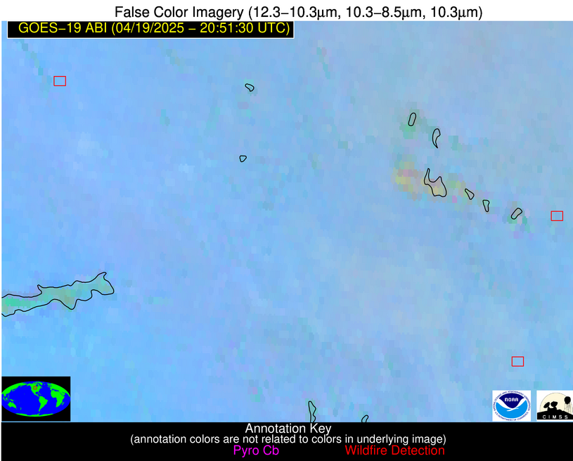
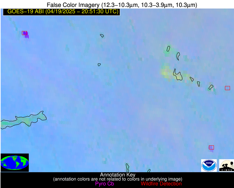
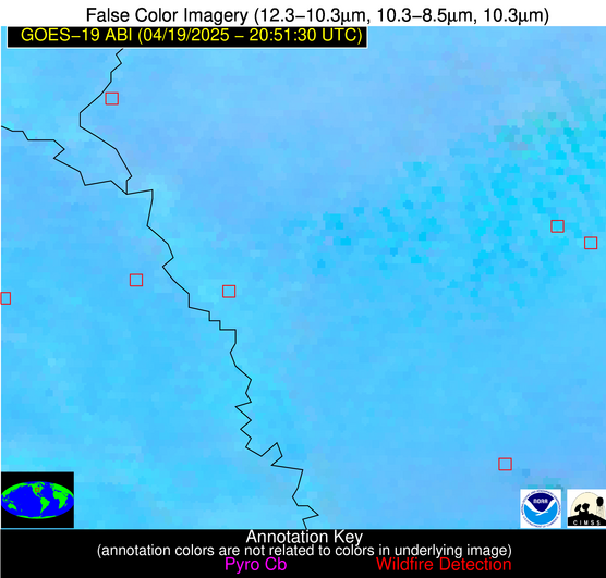
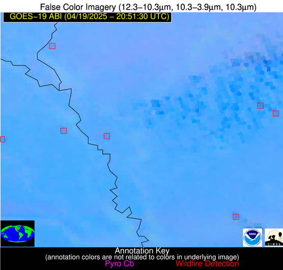
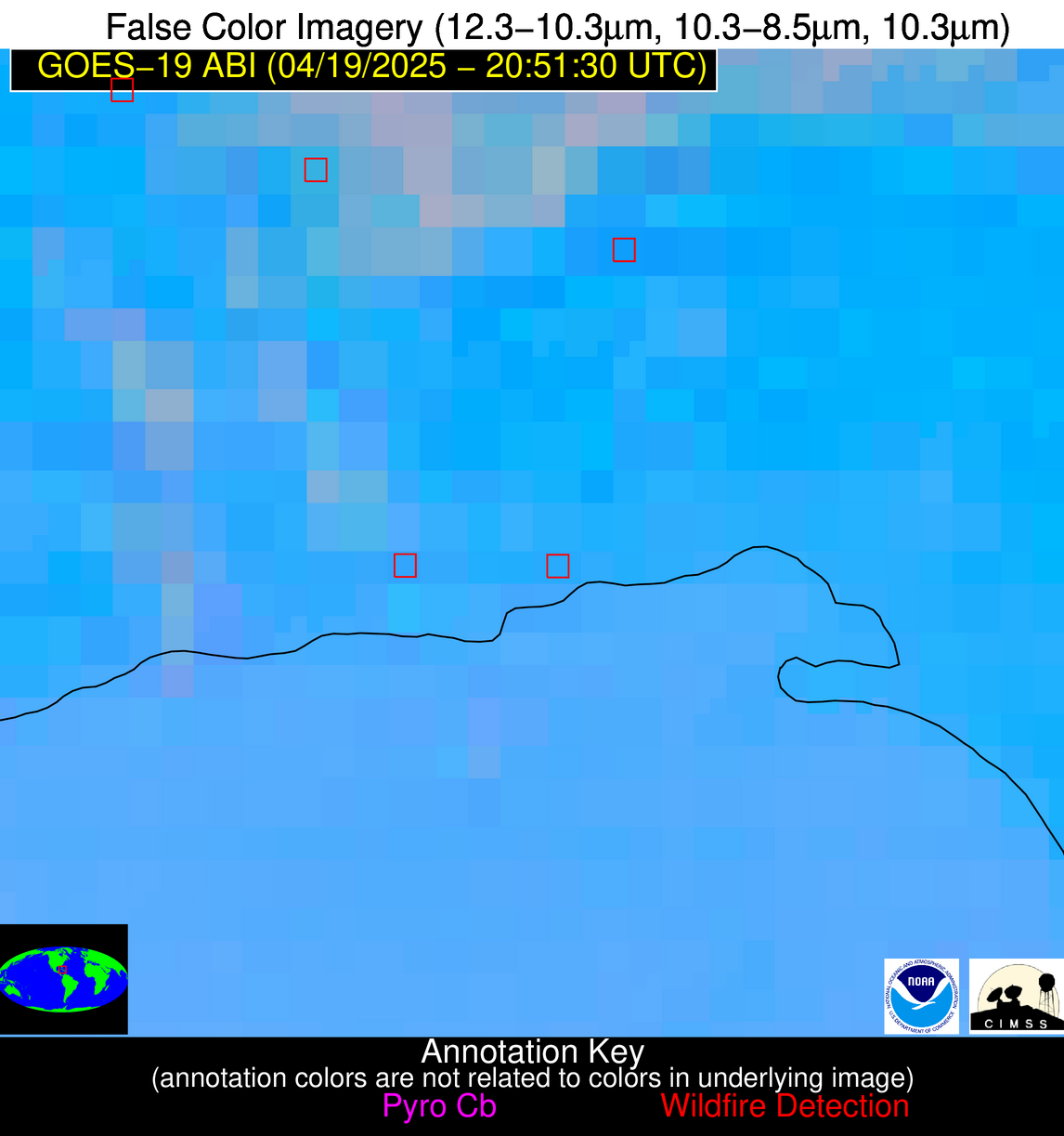
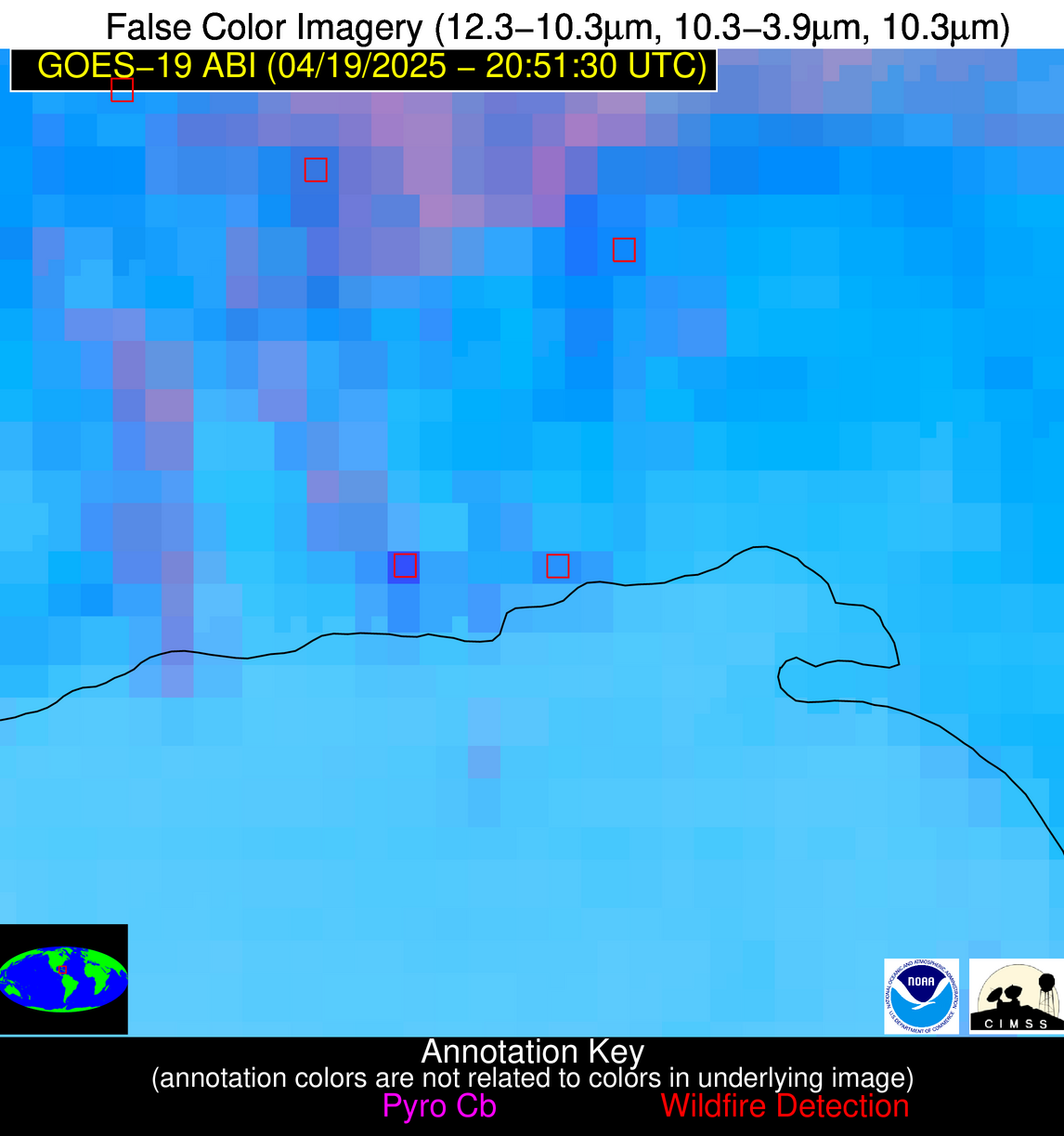
Wildfire Alert Report
| Date: | 2025-04-19 |
|---|---|
| Time: | 20:51:17 |
| Production Date and Time: | 2025-04-19 20:56:24 UTC |
| Primary Instrument: | GOES-19 ABI |
| Wmo Spacecraft Id: | 666 |
| Location/orbit: | GEO |
| L1 File: | OR_ABI-L1b-RadC-M6C14_G19_s20251092051174_e20251092053547_c20251092054045.nc |
| L1 File(s) - Temporal | OR_ABI-L1b-RadC-M6C14_G19_s20251092046174_e20251092048547_c20251092049041.nc |
| Number Of Thermal Anomaly Alerts: | 6 |
Possible Wildfire
| Basic Information | |
|---|---|
| State/Province(s) | ND |
| Country/Countries | United States |
| County/Locality(s) | Renville County, ND |
| NWS WFO | Bismarck ND |
| Identification Method | Enhanced Contextual (Cloud) |
| Mean Object Date/Time | 2025-04-19 20:51:20UTC |
| Radiative Center (Lat, Lon): | 48.509998°, -101.460281° |
| Nearby Counties (meeting alert criteria): |
|
| Total Radiative Power Anomaly | n/a |
| Total Radiative Power | 506.99 MW |
| Map: | |
| Additional Information | |
| Alert Status | New Feature |
| Type of Event | Nominal Risk |
| Event Priority Ranking | 4 |
| Maximum Observed BT (3.9 um) | 322.00 K |
| Observed - Background BT (3.9 um) | 23.33 K |
| BT Anomaly (3.9 um) | 37.66 K |
| Maximum Observed - Clear RTM BT (3.9 um) | 38.76 K |
| Maximum Observed BTD (3.9-10/11/12 um) | 30.07 K |
| Observed - Background BTD (3.9-10/11/12 um) | 22.49 K |
| BTD Anomaly (3.9-10/11/12 um) | 57.49 K |
| Similar Pixel Count | 0 |
| BT Time Tendency (3.9 um) | 17.80 K |
| Image Interval | 5.00 minutes |
| Fraction of Surrounding LWIR Pixels that are Colder | 0.94 |
| Fraction of Surrounding Red Channel Pixels that are Brighter | 0.14 |
| Maximum Radiative Power | 154.33 MW |
| Maximum Radiative Power Uncertainty | 0.00 MW |
| Total Radiative Power Uncertainty | 0.00 MW |
| Mean Viewing Angle | 61.50° |
| Mean Solar Zenith Angle | 46.00° |
| Mean Glint Angle | 77.70° |
| Water Fraction | 0.00 |
| Total Pixel Area | 33.50 km2 |
| Latest Satellite Imagery: | |
| View all event imagery » | |
Possible Wildfire
| Basic Information | |
|---|---|
| State/Province(s) | ND |
| Country/Countries | United States |
| County/Locality(s) | Griggs County, ND |
| NWS WFO | Grand Forks ND |
| Identification Method | Enhanced Contextual (Clear) |
| Mean Object Date/Time | 2025-04-19 20:51:20UTC |
| Radiative Center (Lat, Lon): | 47.264999°, -98.418335° |
| Nearby Counties (meeting alert criteria): |
|
| Total Radiative Power Anomaly | n/a |
| Total Radiative Power | 101.00 MW |
| Map: | |
| Additional Information | |
| Alert Status | New Feature |
| Type of Event | Nominal Risk |
| Event Priority Ranking | 4 |
| Maximum Observed BT (3.9 um) | 303.13 K |
| Observed - Background BT (3.9 um) | 8.55 K |
| BT Anomaly (3.9 um) | 8.29 K |
| Maximum Observed - Clear RTM BT (3.9 um) | 19.30 K |
| Maximum Observed BTD (3.9-10/11/12 um) | 14.69 K |
| Observed - Background BTD (3.9-10/11/12 um) | 7.76 K |
| BTD Anomaly (3.9-10/11/12 um) | 17.64 K |
| Similar Pixel Count | 4 |
| BT Time Tendency (3.9 um) | 4.20 K |
| Image Interval | 5.00 minutes |
| Fraction of Surrounding LWIR Pixels that are Colder | 0.85 |
| Fraction of Surrounding Red Channel Pixels that are Brighter | 1.00 |
| Maximum Radiative Power | 35.92 MW |
| Maximum Radiative Power Uncertainty | 0.00 MW |
| Total Radiative Power Uncertainty | 0.00 MW |
| Mean Viewing Angle | 59.20° |
| Mean Solar Zenith Angle | 46.60° |
| Mean Glint Angle | 75.60° |
| Water Fraction | 0.00 |
| Total Pixel Area | 31.20 km2 |
| Latest Satellite Imagery: | |
| View all event imagery » | |
Possible Wildfire
| Basic Information | |
|---|---|
| State/Province(s) | IA |
| Country/Countries | United States |
| County/Locality(s) | Plymouth County, IA |
| NWS WFO | Sioux Falls SD |
| Identification Method | Enhanced Contextual (Clear) |
| Mean Object Date/Time | 2025-04-19 20:51:50UTC |
| Radiative Center (Lat, Lon): | 42.820000°, -96.530556° |
| Nearby Counties (meeting alert criteria): |
|
| Total Radiative Power Anomaly | n/a |
| Total Radiative Power | 10.20 MW |
| Map: | |
| Additional Information | |
| Alert Status | New Feature |
| Type of Event | Nominal Risk |
| Event Priority Ranking | 4 |
| Maximum Observed BT (3.9 um) | 304.25 K |
| Observed - Background BT (3.9 um) | 1.51 K |
| BT Anomaly (3.9 um) | 0.96 K |
| Maximum Observed - Clear RTM BT (3.9 um) | 16.18 K |
| Maximum Observed BTD (3.9-10/11/12 um) | 10.61 K |
| Observed - Background BTD (3.9-10/11/12 um) | 2.17 K |
| BTD Anomaly (3.9-10/11/12 um) | 5.21 K |
| Similar Pixel Count | 25 |
| BT Time Tendency (3.9 um) | 1.80 K |
| Image Interval | 5.00 minutes |
| Fraction of Surrounding LWIR Pixels that are Colder | 0.31 |
| Fraction of Surrounding Red Channel Pixels that are Brighter | 0.96 |
| Maximum Radiative Power | 10.20 MW |
| Maximum Radiative Power Uncertainty | 0.00 MW |
| Total Radiative Power Uncertainty | 0.00 MW |
| Mean Viewing Angle | 54.20° |
| Mean Solar Zenith Angle | 45.00° |
| Mean Glint Angle | 68.30° |
| Water Fraction | 0.00 |
| Total Pixel Area | 6.80 km2 |
| Latest Satellite Imagery: | |
| View all event imagery » | |
Possible Wildfire
| Basic Information | |
|---|---|
| State/Province(s) | IA |
| Country/Countries | United States |
| County/Locality(s) | Pottawattamie County, IA |
| NWS WFO | Omaha/Valley NE |
| Identification Method | Enhanced Contextual (Clear) |
| Mean Object Date/Time | 2025-04-19 20:51:50UTC |
| Radiative Center (Lat, Lon): | 41.470833°, -95.266388° |
| Nearby Counties (meeting alert criteria): |
|
| Total Radiative Power Anomaly | n/a |
| Total Radiative Power | 27.55 MW |
| Map: | |
| Additional Information | |
| Alert Status | New Feature |
| Type of Event | Nominal Risk |
| Event Priority Ranking | 4 |
| Maximum Observed BT (3.9 um) | 305.67 K |
| Observed - Background BT (3.9 um) | 6.30 K |
| BT Anomaly (3.9 um) | 4.95 K |
| Maximum Observed - Clear RTM BT (3.9 um) | 21.22 K |
| Maximum Observed BTD (3.9-10/11/12 um) | 15.89 K |
| Observed - Background BTD (3.9-10/11/12 um) | 6.81 K |
| BTD Anomaly (3.9-10/11/12 um) | 16.57 K |
| Similar Pixel Count | 4 |
| BT Time Tendency (3.9 um) | 5.80 K |
| Image Interval | 5.00 minutes |
| Fraction of Surrounding LWIR Pixels that are Colder | 0.23 |
| Fraction of Surrounding Red Channel Pixels that are Brighter | 1.00 |
| Maximum Radiative Power | 27.55 MW |
| Maximum Radiative Power Uncertainty | 0.00 MW |
| Total Radiative Power Uncertainty | 0.00 MW |
| Mean Viewing Angle | 52.40° |
| Mean Solar Zenith Angle | 45.10° |
| Mean Glint Angle | 66.20° |
| Water Fraction | 0.00 |
| Total Pixel Area | 6.60 km2 |
| Latest Satellite Imagery: | |
| View all event imagery » | |
Possible Wildfire
| Basic Information | |
|---|---|
| State/Province(s) | Unknown |
| Country/Countries | Cuba |
| County/Locality(s) | Unknown, Unknown |
| NWS WFO | N/A |
| Identification Method | Enhanced Contextual (Clear) |
| Mean Object Date/Time | 2025-04-19 20:53:21UTC |
| Radiative Center (Lat, Lon): | 21.781111°, -82.993889° |
| Nearby Counties (meeting alert criteria): |
|
| Total Radiative Power Anomaly | n/a |
| Total Radiative Power | 22.30 MW |
| Map: | |
| Additional Information | |
| Alert Status | New Feature |
| Type of Event | Nominal Risk |
| Event Priority Ranking | 4 |
| Maximum Observed BT (3.9 um) | 311.85 K |
| Observed - Background BT (3.9 um) | 7.42 K |
| BT Anomaly (3.9 um) | 3.53 K |
| Maximum Observed - Clear RTM BT (3.9 um) | 13.30 K |
| Maximum Observed BTD (3.9-10/11/12 um) | 15.86 K |
| Observed - Background BTD (3.9-10/11/12 um) | 7.68 K |
| BTD Anomaly (3.9-10/11/12 um) | 5.56 K |
| Similar Pixel Count | 10 |
| BT Time Tendency (3.9 um) | 2.00 K |
| Image Interval | 5.00 minutes |
| Fraction of Surrounding LWIR Pixels that are Colder | 0.61 |
| Fraction of Surrounding Red Channel Pixels that are Brighter | 0.98 |
| Maximum Radiative Power | 22.30 MW |
| Maximum Radiative Power Uncertainty | 0.00 MW |
| Total Radiative Power Uncertainty | 0.00 MW |
| Mean Viewing Angle | 27.10° |
| Mean Solar Zenith Angle | 49.10° |
| Mean Glint Angle | 47.40° |
| Water Fraction | 0.00 |
| Total Pixel Area | 4.50 km2 |
| Latest Satellite Imagery: | |
| View all event imagery » | |
Possible Wildfire
| Basic Information | |
|---|---|
| State/Province(s) | Unknown |
| Country/Countries | Cuba |
| County/Locality(s) | Unknown, Unknown |
| NWS WFO | N/A |
| Identification Method | Enhanced Contextual (Clear) |
| Mean Object Date/Time | 2025-04-19 20:53:22UTC |
| Radiative Center (Lat, Lon): | 21.630833°, -78.863609° |
| Nearby Counties (meeting alert criteria): |
|
| Total Radiative Power Anomaly | n/a |
| Total Radiative Power | 18.02 MW |
| Map: | |
| Additional Information | |
| Alert Status | New Feature |
| Type of Event | Nominal Risk |
| Event Priority Ranking | 4 |
| Maximum Observed BT (3.9 um) | 308.30 K |
| Observed - Background BT (3.9 um) | 7.30 K |
| BT Anomaly (3.9 um) | 2.25 K |
| Maximum Observed - Clear RTM BT (3.9 um) | 6.11 K |
| Maximum Observed BTD (3.9-10/11/12 um) | 13.84 K |
| Observed - Background BTD (3.9-10/11/12 um) | 6.33 K |
| BTD Anomaly (3.9-10/11/12 um) | 2.39 K |
| Similar Pixel Count | 12 |
| BT Time Tendency (3.9 um) | 5.70 K |
| Image Interval | 5.00 minutes |
| Fraction of Surrounding LWIR Pixels that are Colder | 0.85 |
| Fraction of Surrounding Red Channel Pixels that are Brighter | 1.00 |
| Maximum Radiative Power | 18.02 MW |
| Maximum Radiative Power Uncertainty | 0.00 MW |
| Total Radiative Power Uncertainty | 0.00 MW |
| Mean Viewing Angle | 25.80° |
| Mean Solar Zenith Angle | 52.90° |
| Mean Glint Angle | 54.00° |
| Water Fraction | 0.00 |
| Total Pixel Area | 4.40 km2 |
| Latest Satellite Imagery: | |
| View all event imagery » | |
