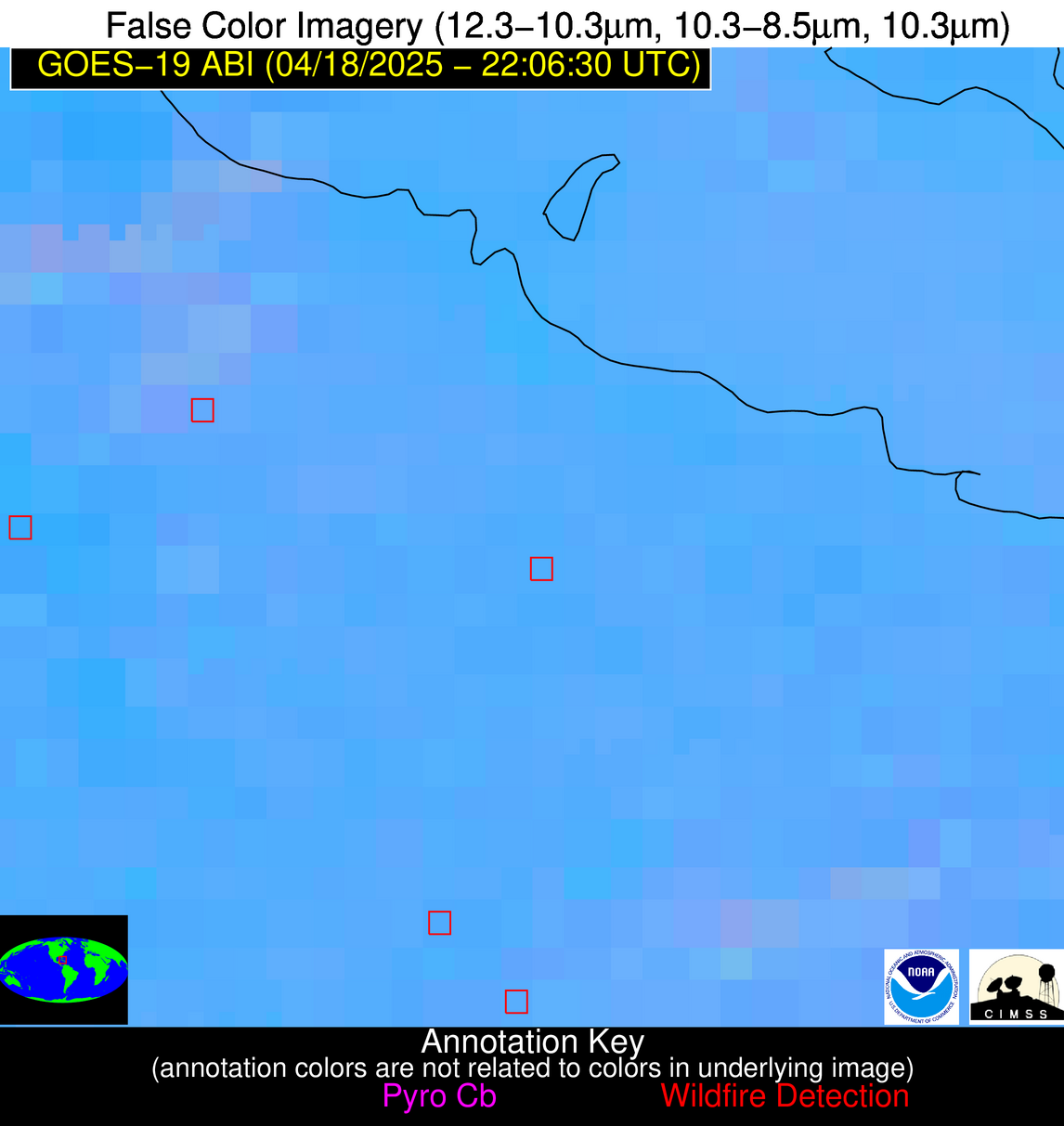
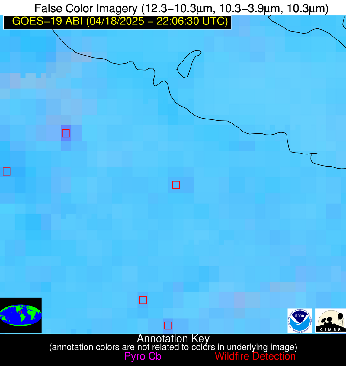
Wildfire Alert Report
| Date: | 2025-04-18 |
|---|---|
| Time: | 22:06:17 |
| Production Date and Time: | 2025-04-18 22:11:16 UTC |
| Primary Instrument: | GOES-19 ABI |
| Wmo Spacecraft Id: | 666 |
| Location/orbit: | GEO |
| L1 File: | OR_ABI-L1b-RadC-M6C14_G19_s20251082206173_e20251082208546_c20251082209027.nc |
| L1 File(s) - Temporal | OR_ABI-L1b-RadC-M6C14_G19_s20251082201173_e20251082203546_c20251082204047.nc |
| Number Of Thermal Anomaly Alerts: | 3 |
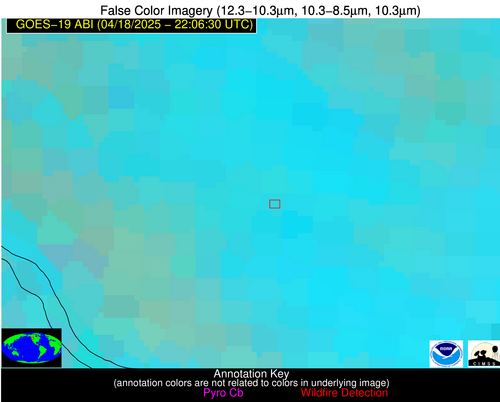
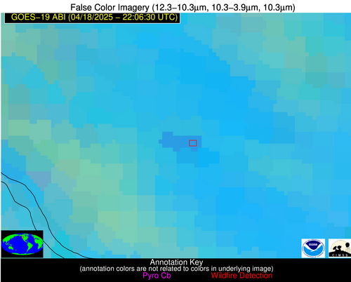
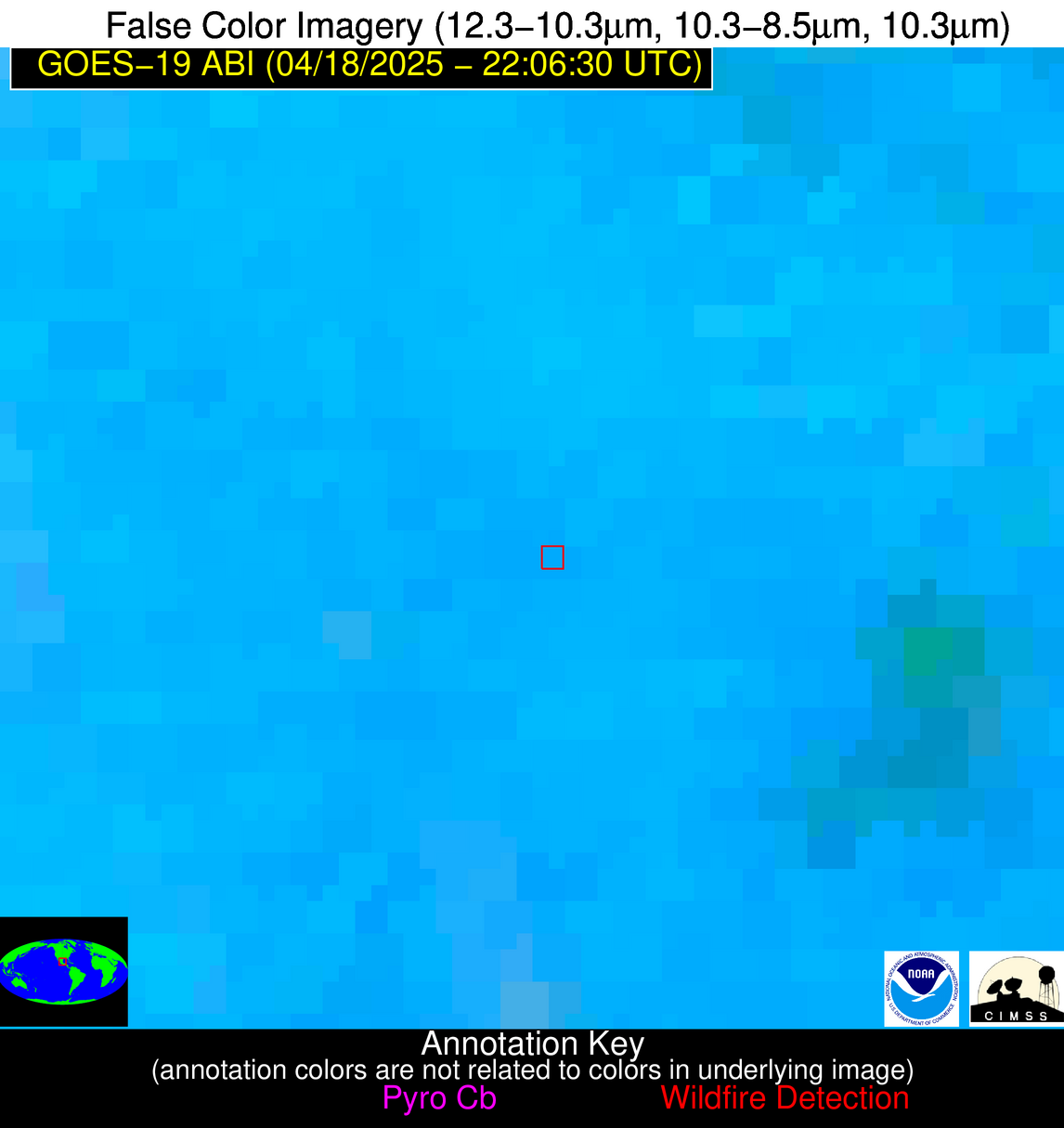
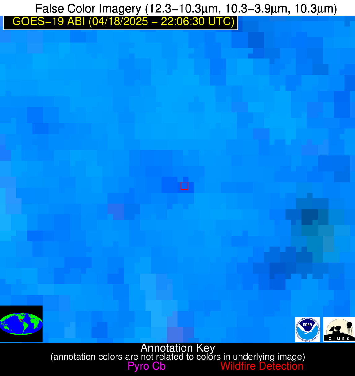
Possible Wildfire
| Basic Information | |
|---|---|
| State/Province(s) | WA |
| Country/Countries | United States |
| County/Locality(s) | Okanogan County, WA |
| NWS WFO | Spokane WA |
| Identification Method | Enhanced Contextual (Clear) |
| Mean Object Date/Time | 2025-04-18 22:06:19UTC |
| Radiative Center (Lat, Lon): | 48.292778°, -120.131943° |
| Nearby Counties (meeting alert criteria): |
|
| Total Radiative Power Anomaly | n/a |
| Total Radiative Power | 54.71 MW |
| Map: | |
| Additional Information | |
| Alert Status | New Feature |
| Type of Event | Nominal Risk |
| Event Priority Ranking | 4 |
| Maximum Observed BT (3.9 um) | 296.84 K |
| Observed - Background BT (3.9 um) | 4.08 K |
| BT Anomaly (3.9 um) | 1.92 K |
| Maximum Observed - Clear RTM BT (3.9 um) | 12.59 K |
| Maximum Observed BTD (3.9-10/11/12 um) | 12.41 K |
| Observed - Background BTD (3.9-10/11/12 um) | 4.39 K |
| BTD Anomaly (3.9-10/11/12 um) | 4.72 K |
| Similar Pixel Count | 9 |
| BT Time Tendency (3.9 um) | 1.40 K |
| Image Interval | 5.00 minutes |
| Fraction of Surrounding LWIR Pixels that are Colder | 0.50 |
| Fraction of Surrounding Red Channel Pixels that are Brighter | 0.89 |
| Maximum Radiative Power | 27.40 MW |
| Maximum Radiative Power Uncertainty | 0.00 MW |
| Total Radiative Power Uncertainty | 0.00 MW |
| Mean Viewing Angle | 70.70° |
| Mean Solar Zenith Angle | 46.10° |
| Mean Glint Angle | 70.50° |
| Water Fraction | 0.00 |
| Total Pixel Area | 24.20 km2 |
| Latest Satellite Imagery: | |
| View all event imagery » | |
Possible Wildfire
| Basic Information | |
|---|---|
| State/Province(s) | Tamaulipas |
| Country/Countries | Mexico |
| County/Locality(s) | El Mante, Tamaulipas |
| NWS WFO | N/A |
| Identification Method | Enhanced Contextual (Clear) |
| Mean Object Date/Time | 2025-04-18 22:08:19UTC |
| Radiative Center (Lat, Lon): | 22.694445°, -98.938057° |
| Nearby Counties (meeting alert criteria): |
|
| Total Radiative Power Anomaly | n/a |
| Total Radiative Power | 24.19 MW |
| Map: | |
| Additional Information | |
| Alert Status | New Feature |
| Type of Event | Nominal Risk |
| Event Priority Ranking | 4 |
| Maximum Observed BT (3.9 um) | 311.88 K |
| Observed - Background BT (3.9 um) | 5.31 K |
| BT Anomaly (3.9 um) | 3.63 K |
| Maximum Observed - Clear RTM BT (3.9 um) | 7.50 K |
| Maximum Observed BTD (3.9-10/11/12 um) | 23.73 K |
| Observed - Background BTD (3.9-10/11/12 um) | 6.09 K |
| BTD Anomaly (3.9-10/11/12 um) | 4.12 K |
| Similar Pixel Count | 19 |
| BT Time Tendency (3.9 um) | 2.50 K |
| Image Interval | 5.00 minutes |
| Fraction of Surrounding LWIR Pixels that are Colder | 0.16 |
| Fraction of Surrounding Red Channel Pixels that are Brighter | 0.93 |
| Maximum Radiative Power | 24.19 MW |
| Maximum Radiative Power Uncertainty | 0.00 MW |
| Total Radiative Power Uncertainty | 0.00 MW |
| Mean Viewing Angle | 37.90° |
| Mean Solar Zenith Angle | 51.80° |
| Mean Glint Angle | 34.40° |
| Water Fraction | 0.00 |
| Total Pixel Area | 5.10 km2 |
| Latest Satellite Imagery: | |
| View all event imagery » | |
Possible Wildfire
| Basic Information | |
|---|---|
| State/Province(s) | Unknown |
| Country/Countries | Cuba |
| County/Locality(s) | Unknown, Unknown |
| NWS WFO | N/A |
| Identification Method | Enhanced Contextual (Clear) |
| Mean Object Date/Time | 2025-04-18 22:08:22UTC |
| Radiative Center (Lat, Lon): | 22.056389°, -78.343613° |
| Nearby Counties (meeting alert criteria): |
|
| Total Radiative Power Anomaly | n/a |
| Total Radiative Power | 11.03 MW |
| Map: | |
| Additional Information | |
| Alert Status | New Feature |
| Type of Event | Nominal Risk |
| Event Priority Ranking | 4 |
| Maximum Observed BT (3.9 um) | 301.97 K |
| Observed - Background BT (3.9 um) | 2.97 K |
| BT Anomaly (3.9 um) | 3.29 K |
| Maximum Observed - Clear RTM BT (3.9 um) | 4.36 K |
| Maximum Observed BTD (3.9-10/11/12 um) | 7.53 K |
| Observed - Background BTD (3.9-10/11/12 um) | 2.37 K |
| BTD Anomaly (3.9-10/11/12 um) | 4.45 K |
| Similar Pixel Count | 19 |
| BT Time Tendency (3.9 um) | 0.90 K |
| Image Interval | 5.00 minutes |
| Fraction of Surrounding LWIR Pixels that are Colder | 0.92 |
| Fraction of Surrounding Red Channel Pixels that are Brighter | 1.00 |
| Maximum Radiative Power | 5.85 MW |
| Maximum Radiative Power Uncertainty | 0.00 MW |
| Total Radiative Power Uncertainty | 0.00 MW |
| Mean Viewing Angle | 26.20° |
| Mean Solar Zenith Angle | 70.80° |
| Mean Glint Angle | 67.50° |
| Water Fraction | 0.00 |
| Total Pixel Area | 8.90 km2 |
| Latest Satellite Imagery: | |
| View all event imagery » | |
