Wildfire Alert Report
| Date: | 2025-04-18 |
|---|---|
| Time: | 17:56:17 |
| Production Date and Time: | 2025-04-18 18:01:19 UTC |
| Primary Instrument: | GOES-19 ABI |
| Wmo Spacecraft Id: | 666 |
| Location/orbit: | GEO |
| L1 File: | OR_ABI-L1b-RadC-M6C14_G19_s20251081756173_e20251081758546_c20251081759010.nc |
| L1 File(s) - Temporal | OR_ABI-L1b-RadC-M6C14_G19_s20251081751173_e20251081753546_c20251081754044.nc |
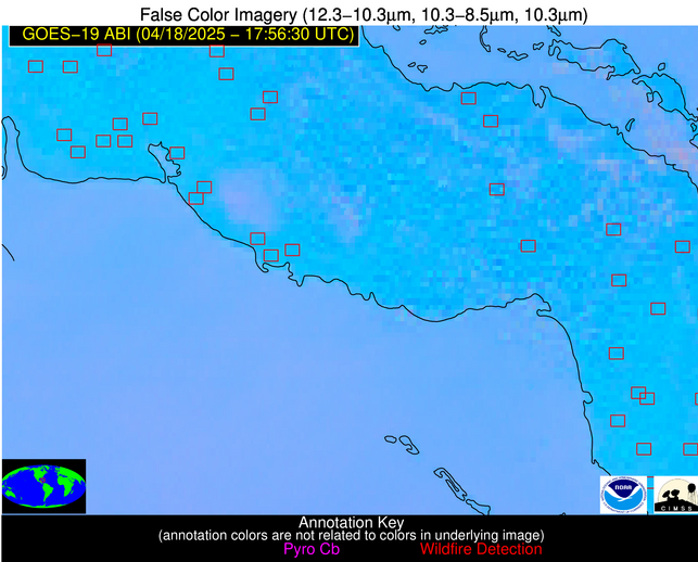
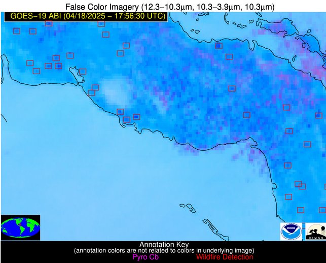
| Number Of Thermal Anomaly Alerts: | 6 |
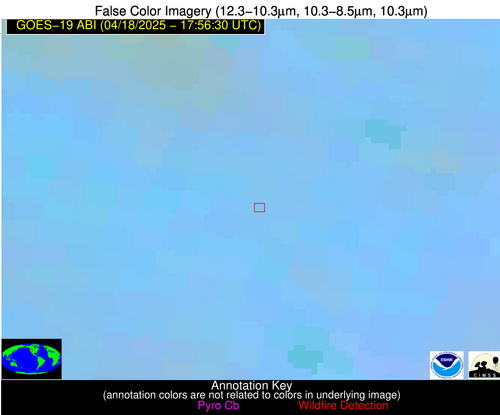
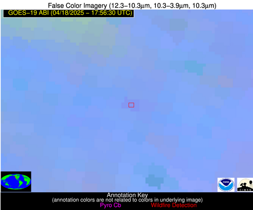
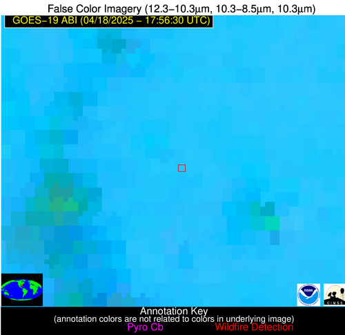
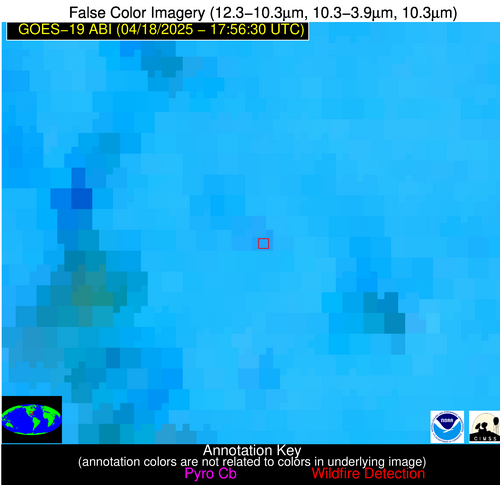
Possible Wildfire
| Basic Information | |
|---|---|
| State/Province(s) | OR |
| Country/Countries | United States |
| County/Locality(s) | Harney County, OR |
| NWS WFO | Boise ID |
| Identification Method | Enhanced Contextual (Clear) |
| Mean Object Date/Time | 2025-04-18 17:56:48UTC |
| Radiative Center (Lat, Lon): | 43.821388°, -118.304169° |
| Nearby Counties (meeting alert criteria): |
|
| Total Radiative Power Anomaly | n/a |
| Total Radiative Power | 11.36 MW |
| Map: | |
| Additional Information | |
| Alert Status | New Feature |
| Type of Event | Nominal Risk |
| Event Priority Ranking | 4 |
| Maximum Observed BT (3.9 um) | 300.03 K |
| Observed - Background BT (3.9 um) | 1.74 K |
| BT Anomaly (3.9 um) | 1.38 K |
| Maximum Observed - Clear RTM BT (3.9 um) | 15.22 K |
| Maximum Observed BTD (3.9-10/11/12 um) | 10.87 K |
| Observed - Background BTD (3.9-10/11/12 um) | 2.08 K |
| BTD Anomaly (3.9-10/11/12 um) | 6.42 K |
| Similar Pixel Count | 25 |
| BT Time Tendency (3.9 um) | 1.50 K |
| Image Interval | 5.00 minutes |
| Fraction of Surrounding LWIR Pixels that are Colder | 0.46 |
| Fraction of Surrounding Red Channel Pixels that are Brighter | 0.98 |
| Maximum Radiative Power | 11.36 MW |
| Maximum Radiative Power Uncertainty | 0.00 MW |
| Total Radiative Power Uncertainty | 0.00 MW |
| Mean Viewing Angle | 66.60° |
| Mean Solar Zenith Angle | 41.70° |
| Mean Glint Angle | 108.10° |
| Water Fraction | 0.00 |
| Total Pixel Area | 10.10 km2 |
| Latest Satellite Imagery: | |
| View all event imagery » | |
Possible Wildfire
| Basic Information | |
|---|---|
| State/Province(s) | SC |
| Country/Countries | United States |
| County/Locality(s) | Orangeburg County, SC |
| NWS WFO | Columbia SC |
| Identification Method | Enhanced Contextual (Clear) |
| Mean Object Date/Time | 2025-04-18 17:57:22UTC |
| Radiative Center (Lat, Lon): | 33.576668°, -80.942780° |
| Nearby Counties (meeting alert criteria): |
|
| Total Radiative Power Anomaly | n/a |
| Total Radiative Power | 15.20 MW |
| Map: | |
| Additional Information | |
| Alert Status | New Feature |
| Type of Event | Nominal Risk |
| Event Priority Ranking | 4 |
| Maximum Observed BT (3.9 um) | 308.85 K |
| Observed - Background BT (3.9 um) | 3.93 K |
| BT Anomaly (3.9 um) | 2.97 K |
| Maximum Observed - Clear RTM BT (3.9 um) | 10.65 K |
| Maximum Observed BTD (3.9-10/11/12 um) | 16.41 K |
| Observed - Background BTD (3.9-10/11/12 um) | 4.20 K |
| BTD Anomaly (3.9-10/11/12 um) | 2.95 K |
| Similar Pixel Count | 24 |
| BT Time Tendency (3.9 um) | 1.70 K |
| Image Interval | 5.00 minutes |
| Fraction of Surrounding LWIR Pixels that are Colder | 0.46 |
| Fraction of Surrounding Red Channel Pixels that are Brighter | 1.00 |
| Maximum Radiative Power | 15.20 MW |
| Maximum Radiative Power Uncertainty | 0.00 MW |
| Total Radiative Power Uncertainty | 0.00 MW |
| Mean Viewing Angle | 39.70° |
| Mean Solar Zenith Angle | 24.30° |
| Mean Glint Angle | 61.70° |
| Water Fraction | 0.00 |
| Total Pixel Area | 5.20 km2 |
| Latest Satellite Imagery: | |
| View all event imagery » | |
Possible Wildfire
| Basic Information | |
|---|---|
| State/Province(s) | MS |
| Country/Countries | United States |
| County/Locality(s) | Scott County, MS |
| NWS WFO | Jackson MS |
| Identification Method | Enhanced Contextual (Clear) |
| Mean Object Date/Time | 2025-04-18 17:57:21UTC |
| Radiative Center (Lat, Lon): | 32.320278°, -89.419724° |
| Nearby Counties (meeting alert criteria): |
|
| Total Radiative Power Anomaly | n/a |
| Total Radiative Power | 9.73 MW |
| Map: | |
| Additional Information | |
| Alert Status | New Feature |
| Type of Event | Nominal Risk, Known Incident: Bienville CPT 64 RX (HIGH, tdiff=0.18872 days, Point) |
| Event Priority Ranking | 4 |
| Maximum Observed BT (3.9 um) | 305.64 K |
| Observed - Background BT (3.9 um) | 3.40 K |
| BT Anomaly (3.9 um) | 2.46 K |
| Maximum Observed - Clear RTM BT (3.9 um) | 6.50 K |
| Maximum Observed BTD (3.9-10/11/12 um) | 11.46 K |
| Observed - Background BTD (3.9-10/11/12 um) | 3.04 K |
| BTD Anomaly (3.9-10/11/12 um) | 4.14 K |
| Similar Pixel Count | 22 |
| BT Time Tendency (3.9 um) | 0.40 K |
| Image Interval | 5.00 minutes |
| Fraction of Surrounding LWIR Pixels that are Colder | 0.72 |
| Fraction of Surrounding Red Channel Pixels that are Brighter | 1.00 |
| Maximum Radiative Power | 9.73 MW |
| Maximum Radiative Power Uncertainty | 0.00 MW |
| Total Radiative Power Uncertainty | 0.00 MW |
| Mean Viewing Angle | 40.80° |
| Mean Solar Zenith Angle | 21.80° |
| Mean Glint Angle | 61.20° |
| Water Fraction | 0.00 |
| Total Pixel Area | 5.30 km2 |
| Latest Satellite Imagery: | |
| View all event imagery » | |
Possible Wildfire
| Basic Information | |
|---|---|
| State/Province(s) | Unknown |
| Country/Countries | Cuba |
| County/Locality(s) | Unknown, Unknown |
| NWS WFO | N/A |
| Identification Method | Enhanced Contextual (Cloud) |
| Mean Object Date/Time | 2025-04-18 17:58:22UTC |
| Radiative Center (Lat, Lon): | 22.345556°, -79.065277° |
| Nearby Counties (meeting alert criteria): |
|
| Total Radiative Power Anomaly | n/a |
| Total Radiative Power | 55.81 MW |
| Map: | |
| Additional Information | |
| Alert Status | New Feature |
| Type of Event | Nominal Risk |
| Event Priority Ranking | 4 |
| Maximum Observed BT (3.9 um) | 326.33 K |
| Observed - Background BT (3.9 um) | 13.95 K |
| BT Anomaly (3.9 um) | 7.64 K |
| Maximum Observed - Clear RTM BT (3.9 um) | 19.90 K |
| Maximum Observed BTD (3.9-10/11/12 um) | 25.98 K |
| Observed - Background BTD (3.9-10/11/12 um) | 12.49 K |
| BTD Anomaly (3.9-10/11/12 um) | 9.45 K |
| Similar Pixel Count | 0 |
| BT Time Tendency (3.9 um) | 7.00 K |
| Image Interval | 5.00 minutes |
| Fraction of Surrounding LWIR Pixels that are Colder | 1.00 |
| Fraction of Surrounding Red Channel Pixels that are Brighter | 0.69 |
| Maximum Radiative Power | 55.81 MW |
| Maximum Radiative Power Uncertainty | 0.00 MW |
| Total Radiative Power Uncertainty | 0.00 MW |
| Mean Viewing Angle | 26.60° |
| Mean Solar Zenith Angle | 15.30° |
| Mean Glint Angle | 38.00° |
| Water Fraction | 0.00 |
| Total Pixel Area | 4.50 km2 |
| Latest Satellite Imagery: | |
| View all event imagery » | |
Possible Wildfire
| Basic Information | |
|---|---|
| State/Province(s) | Unknown |
| Country/Countries | Cuba |
| County/Locality(s) | Unknown, Unknown |
| NWS WFO | N/A |
| Identification Method | Enhanced Contextual (Clear) |
| Mean Object Date/Time | 2025-04-18 17:58:22UTC |
| Radiative Center (Lat, Lon): | 22.213612°, -80.926941° |
| Nearby Counties (meeting alert criteria): |
|
| Total Radiative Power Anomaly | n/a |
| Total Radiative Power | 8.80 MW |
| Map: | |
| Additional Information | |
| Alert Status | New Feature |
| Type of Event | Nominal Risk |
| Event Priority Ranking | 4 |
| Maximum Observed BT (3.9 um) | 315.37 K |
| Observed - Background BT (3.9 um) | 2.39 K |
| BT Anomaly (3.9 um) | 0.86 K |
| Maximum Observed - Clear RTM BT (3.9 um) | 6.08 K |
| Maximum Observed BTD (3.9-10/11/12 um) | 13.26 K |
| Observed - Background BTD (3.9-10/11/12 um) | 1.95 K |
| BTD Anomaly (3.9-10/11/12 um) | 1.20 K |
| Similar Pixel Count | 25 |
| BT Time Tendency (3.9 um) | 1.10 K |
| Image Interval | 5.00 minutes |
| Fraction of Surrounding LWIR Pixels that are Colder | 0.64 |
| Fraction of Surrounding Red Channel Pixels that are Brighter | 1.00 |
| Maximum Radiative Power | 8.80 MW |
| Maximum Radiative Power Uncertainty | 0.00 MW |
| Total Radiative Power Uncertainty | 0.00 MW |
| Mean Viewing Angle | 26.90° |
| Mean Solar Zenith Angle | 14.20° |
| Mean Glint Angle | 37.40° |
| Water Fraction | 0.00 |
| Total Pixel Area | 4.50 km2 |
| Latest Satellite Imagery: | |
| View all event imagery » | |
Possible Wildfire
| Basic Information | |
|---|---|
| State/Province(s) | Unknown |
| Country/Countries | Cuba |
| County/Locality(s) | Unknown, Unknown |
| NWS WFO | N/A |
| Identification Method | Enhanced Contextual (Clear) |
| Mean Object Date/Time | 2025-04-18 17:58:22UTC |
| Radiative Center (Lat, Lon): | 21.081112°, -78.258331° |
| Nearby Counties (meeting alert criteria): |
|
| Total Radiative Power Anomaly | n/a |
| Total Radiative Power | 9.84 MW |
| Map: | |
| Additional Information | |
| Alert Status | New Feature |
| Type of Event | Nominal Risk |
| Event Priority Ranking | 4 |
| Maximum Observed BT (3.9 um) | 318.61 K |
| Observed - Background BT (3.9 um) | 2.65 K |
| BT Anomaly (3.9 um) | 1.10 K |
| Maximum Observed - Clear RTM BT (3.9 um) | 9.80 K |
| Maximum Observed BTD (3.9-10/11/12 um) | 14.33 K |
| Observed - Background BTD (3.9-10/11/12 um) | 2.40 K |
| BTD Anomaly (3.9-10/11/12 um) | 1.97 K |
| Similar Pixel Count | 25 |
| BT Time Tendency (3.9 um) | 1.20 K |
| Image Interval | 5.00 minutes |
| Fraction of Surrounding LWIR Pixels that are Colder | 0.64 |
| Fraction of Surrounding Red Channel Pixels that are Brighter | 1.00 |
| Maximum Radiative Power | 9.84 MW |
| Maximum Radiative Power Uncertainty | 0.00 MW |
| Total Radiative Power Uncertainty | 0.00 MW |
| Mean Viewing Angle | 25.10° |
| Mean Solar Zenith Angle | 15.00° |
| Mean Glint Angle | 35.60° |
| Water Fraction | 0.00 |
| Total Pixel Area | 4.40 km2 |
| Latest Satellite Imagery: | |
| View all event imagery » | |
