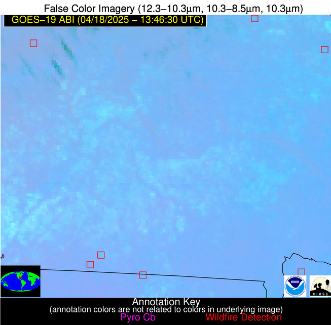
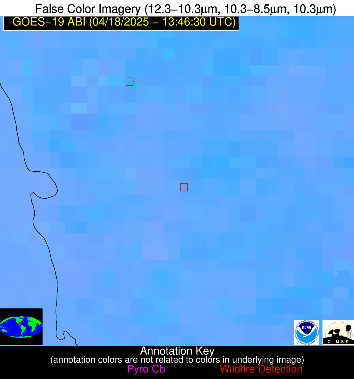
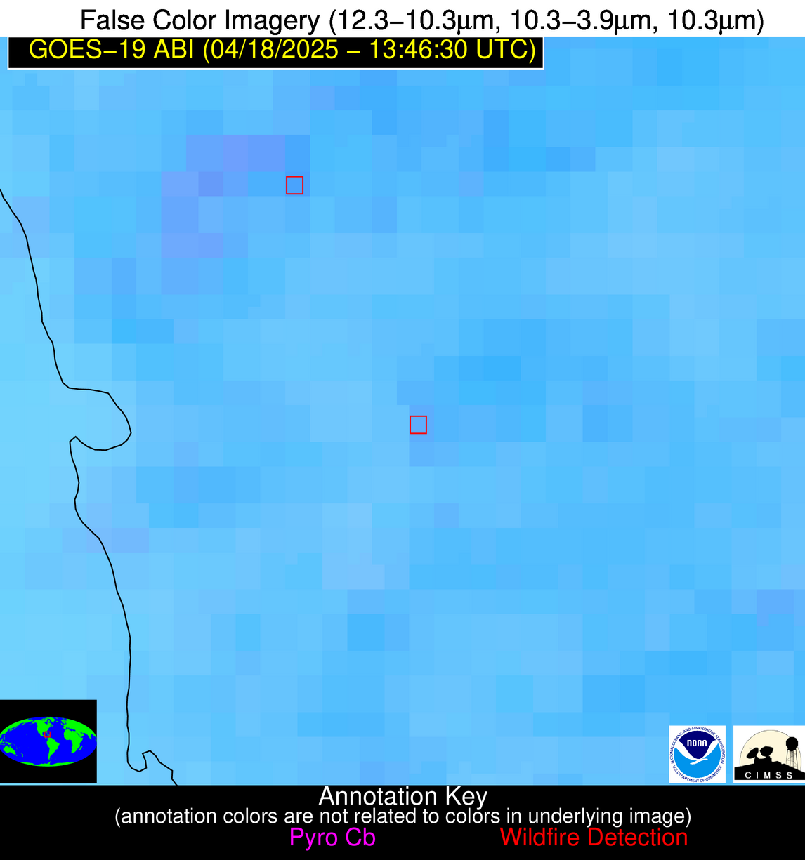
1606 UTC 1/9/2026: UPDATE: Problems related to data center cooling issues are being resolved; but time will be needed for systems to stabilize and data flows to return to normal, until that time, NGFS products will be produced but maybe sporadic/some images will be missed.
Wildfire Alert Report
| Date: | 2025-04-18 |
|---|---|
| Time: | 13:46:17 |
| Production Date and Time: | 2025-04-18 13:51:08 UTC |
| Primary Instrument: | GOES-19 ABI |
| Wmo Spacecraft Id: | 666 |
| Location/orbit: | GEO |
| L1 File: | OR_ABI-L1b-RadC-M6C14_G19_s20251081346173_e20251081348546_c20251081349048.nc |
| L1 File(s) - Temporal | OR_ABI-L1b-RadC-M6C14_G19_s20251081341173_e20251081343546_c20251081344042.nc |
| Number Of Thermal Anomaly Alerts: | 5 |
Possible Wildfire
| Basic Information | |
|---|---|
| State/Province(s) | SC |
| Country/Countries | United States |
| County/Locality(s) | Florence County, SC |
| NWS WFO | Wilmington NC |
| Identification Method | Enhanced Contextual (Clear) |
| Mean Object Date/Time | 2025-04-18 13:47:22UTC |
| Radiative Center (Lat, Lon): | 34.146946°, -79.879448° |
| Nearby Counties (meeting alert criteria): |
|
| Total Radiative Power Anomaly | n/a |
| Total Radiative Power | 4.03 MW |
| Map: | |
| Additional Information | |
| Alert Status | New Feature |
| Type of Event | Nominal Risk |
| Event Priority Ranking | 4 |
| Maximum Observed BT (3.9 um) | 297.29 K |
| Observed - Background BT (3.9 um) | 1.90 K |
| BT Anomaly (3.9 um) | 2.01 K |
| Maximum Observed - Clear RTM BT (3.9 um) | 8.50 K |
| Maximum Observed BTD (3.9-10/11/12 um) | 7.70 K |
| Observed - Background BTD (3.9-10/11/12 um) | 1.76 K |
| BTD Anomaly (3.9-10/11/12 um) | 3.16 K |
| Similar Pixel Count | 23 |
| BT Time Tendency (3.9 um) | 0.70 K |
| Image Interval | 5.00 minutes |
| Fraction of Surrounding LWIR Pixels that are Colder | 0.64 |
| Fraction of Surrounding Red Channel Pixels that are Brighter | 1.00 |
| Maximum Radiative Power | 4.03 MW |
| Maximum Radiative Power Uncertainty | 0.00 MW |
| Total Radiative Power Uncertainty | 0.00 MW |
| Mean Viewing Angle | 40.20° |
| Mean Solar Zenith Angle | 53.80° |
| Mean Glint Angle | 74.80° |
| Water Fraction | 0.00 |
| Total Pixel Area | 5.20 km2 |
| Latest Satellite Imagery: | |
| View all event imagery » | |
Possible Wildfire
| Basic Information | |
|---|---|
| State/Province(s) | GA |
| Country/Countries | United States |
| County/Locality(s) | Upson County, GA |
| NWS WFO | Peachtree City GA |
| Identification Method | Enhanced Contextual (Clear) |
| Mean Object Date/Time | 2025-04-18 13:47:21UTC |
| Radiative Center (Lat, Lon): | 32.809444°, -84.376114° |
| Nearby Counties (meeting alert criteria): |
|
| Total Radiative Power Anomaly | n/a |
| Total Radiative Power | 9.48 MW |
| Map: | |
| Additional Information | |
| Alert Status | New Feature |
| Type of Event | Nominal Risk |
| Event Priority Ranking | 4 |
| Maximum Observed BT (3.9 um) | 294.21 K |
| Observed - Background BT (3.9 um) | 3.55 K |
| BT Anomaly (3.9 um) | 4.55 K |
| Maximum Observed - Clear RTM BT (3.9 um) | 6.64 K |
| Maximum Observed BTD (3.9-10/11/12 um) | 7.34 K |
| Observed - Background BTD (3.9-10/11/12 um) | 3.95 K |
| BTD Anomaly (3.9-10/11/12 um) | 8.43 K |
| Similar Pixel Count | 3 |
| BT Time Tendency (3.9 um) | 1.20 K |
| Image Interval | 5.00 minutes |
| Fraction of Surrounding LWIR Pixels that are Colder | 0.25 |
| Fraction of Surrounding Red Channel Pixels that are Brighter | 1.00 |
| Maximum Radiative Power | 9.48 MW |
| Maximum Radiative Power Uncertainty | 0.00 MW |
| Total Radiative Power Uncertainty | 0.00 MW |
| Mean Viewing Angle | 39.60° |
| Mean Solar Zenith Angle | 57.20° |
| Mean Glint Angle | 79.40° |
| Water Fraction | 0.00 |
| Total Pixel Area | 5.20 km2 |
| Latest Satellite Imagery: | |
| View all event imagery » | |
Possible Wildfire
| Basic Information | |
|---|---|
| State/Province(s) | GA |
| Country/Countries | United States |
| County/Locality(s) | Thomas County, GA |
| NWS WFO | Tallahassee FL |
| Identification Method | Enhanced Contextual (Clear) |
| Mean Object Date/Time | 2025-04-18 13:47:21UTC |
| Radiative Center (Lat, Lon): | 30.725000°, -83.846390° |
| Nearby Counties (meeting alert criteria): |
|
| Total Radiative Power Anomaly | n/a |
| Total Radiative Power | 7.14 MW |
| Map: | |
| Additional Information | |
| Alert Status | New Feature |
| Type of Event | Nominal Risk |
| Event Priority Ranking | 4 |
| Maximum Observed BT (3.9 um) | 298.56 K |
| Observed - Background BT (3.9 um) | 3.38 K |
| BT Anomaly (3.9 um) | 2.67 K |
| Maximum Observed - Clear RTM BT (3.9 um) | 8.71 K |
| Maximum Observed BTD (3.9-10/11/12 um) | 6.85 K |
| Observed - Background BTD (3.9-10/11/12 um) | 3.05 K |
| BTD Anomaly (3.9-10/11/12 um) | 3.03 K |
| Similar Pixel Count | 4 |
| BT Time Tendency (3.9 um) | 1.00 K |
| Image Interval | 5.00 minutes |
| Fraction of Surrounding LWIR Pixels that are Colder | 0.77 |
| Fraction of Surrounding Red Channel Pixels that are Brighter | 1.00 |
| Maximum Radiative Power | 7.14 MW |
| Maximum Radiative Power Uncertainty | 0.00 MW |
| Total Radiative Power Uncertainty | 0.00 MW |
| Mean Viewing Angle | 37.20° |
| Mean Solar Zenith Angle | 56.50° |
| Mean Glint Angle | 76.70° |
| Water Fraction | 0.00 |
| Total Pixel Area | 5.00 km2 |
| Latest Satellite Imagery: | |
| View all event imagery » | |
Possible Wildfire
| Basic Information | |
|---|---|
| State/Province(s) | FL |
| Country/Countries | United States |
| County/Locality(s) | Nassau County, FL |
| NWS WFO | Jacksonville FL |
| Identification Method | Enhanced Contextual (Clear) |
| Mean Object Date/Time | 2025-04-18 13:47:22UTC |
| Radiative Center (Lat, Lon): | 30.654167°, -81.875275° |
| Nearby Counties (meeting alert criteria): |
|
| Total Radiative Power Anomaly | n/a |
| Total Radiative Power | 4.73 MW |
| Map: | |
| Additional Information | |
| Alert Status | New Feature |
| Type of Event | Nominal Risk |
| Event Priority Ranking | 4 |
| Maximum Observed BT (3.9 um) | 298.04 K |
| Observed - Background BT (3.9 um) | 2.76 K |
| BT Anomaly (3.9 um) | 3.89 K |
| Maximum Observed - Clear RTM BT (3.9 um) | 6.58 K |
| Maximum Observed BTD (3.9-10/11/12 um) | 6.30 K |
| Observed - Background BTD (3.9-10/11/12 um) | 2.34 K |
| BTD Anomaly (3.9-10/11/12 um) | 6.06 K |
| Similar Pixel Count | 12 |
| BT Time Tendency (3.9 um) | 0.80 K |
| Image Interval | 5.00 minutes |
| Fraction of Surrounding LWIR Pixels that are Colder | 0.85 |
| Fraction of Surrounding Red Channel Pixels that are Brighter | 1.00 |
| Maximum Radiative Power | 4.73 MW |
| Maximum Radiative Power Uncertainty | 0.00 MW |
| Total Radiative Power Uncertainty | 0.00 MW |
| Mean Viewing Angle | 36.60° |
| Mean Solar Zenith Angle | 54.80° |
| Mean Glint Angle | 73.80° |
| Water Fraction | 0.00 |
| Total Pixel Area | 5.00 km2 |
| Latest Satellite Imagery: | |
| View all event imagery » | |
Possible Wildfire
| Basic Information | |
|---|---|
| State/Province(s) | Unknown |
| Country/Countries | Cuba |
| County/Locality(s) | Unknown, Unknown |
| NWS WFO | N/A |
| Identification Method | Enhanced Contextual (Clear) |
| Mean Object Date/Time | 2025-04-18 13:48:22UTC |
| Radiative Center (Lat, Lon): | 21.263334°, -78.302223° |
| Nearby Counties (meeting alert criteria): |
|
| Total Radiative Power Anomaly | n/a |
| Total Radiative Power | 7.40 MW |
| Map: | |
| Additional Information | |
| Alert Status | New Feature |
| Type of Event | Nominal Risk |
| Event Priority Ranking | 4 |
| Maximum Observed BT (3.9 um) | 305.94 K |
| Observed - Background BT (3.9 um) | 3.00 K |
| BT Anomaly (3.9 um) | 1.82 K |
| Maximum Observed - Clear RTM BT (3.9 um) | 7.73 K |
| Maximum Observed BTD (3.9-10/11/12 um) | 8.75 K |
| Observed - Background BTD (3.9-10/11/12 um) | 2.61 K |
| BTD Anomaly (3.9-10/11/12 um) | 3.15 K |
| Similar Pixel Count | 12 |
| BT Time Tendency (3.9 um) | 1.20 K |
| Image Interval | 5.00 minutes |
| Fraction of Surrounding LWIR Pixels that are Colder | 0.67 |
| Fraction of Surrounding Red Channel Pixels that are Brighter | 1.00 |
| Maximum Radiative Power | 7.40 MW |
| Maximum Radiative Power Uncertainty | 0.00 MW |
| Total Radiative Power Uncertainty | 0.00 MW |
| Mean Viewing Angle | 25.30° |
| Mean Solar Zenith Angle | 50.50° |
| Mean Glint Angle | 59.70° |
| Water Fraction | 0.00 |
| Total Pixel Area | 4.40 km2 |
| Latest Satellite Imagery: | |
| View all event imagery » | |


