10 Jan 2026: Notice to users: ongoing data center construction may unexpectedly interrupt NGFS product generation.
Wildfire Alert Report
| Date: | 2025-04-18 |
|---|---|
| Time: | 00:16:17 |
| Production Date and Time: | 2025-04-18 00:21:13 UTC |
| Primary Instrument: | GOES-19 ABI |
| Wmo Spacecraft Id: | 666 |
| Location/orbit: | GEO |
| L1 File: | OR_ABI-L1b-RadC-M6C14_G19_s20251080016173_e20251080018546_c20251080019034.nc |
| L1 File(s) - Temporal | OR_ABI-L1b-RadC-M6C14_G19_s20251080011173_e20251080013546_c20251080014028.nc |
| Number Of Thermal Anomaly Alerts: | 2 |
Possible Wildfire
| Basic Information | |
|---|---|
| State/Province(s) | MO |
| Country/Countries | United States |
| County/Locality(s) | Gentry County, MO |
| NWS WFO | Kansas City/Pleasant Hill MO |
| Identification Method | Enhanced Contextual (Clear) |
| Mean Object Date/Time | 2025-04-18 00:16:50UTC |
| Radiative Center (Lat, Lon): | 40.287777°, -94.299446° |
| Nearby Counties (meeting alert criteria): |
|
| Total Radiative Power Anomaly | n/a |
| Total Radiative Power | 23.02 MW |
| Map: | |
| Additional Information | |
| Alert Status | New Feature |
| Type of Event | Nominal Risk |
| Event Priority Ranking | 4 |
| Maximum Observed BT (3.9 um) | 299.03 K |
| Observed - Background BT (3.9 um) | 7.29 K |
| BT Anomaly (3.9 um) | 41.97 K |
| Maximum Observed - Clear RTM BT (3.9 um) | 7.86 K |
| Maximum Observed BTD (3.9-10/11/12 um) | 9.93 K |
| Observed - Background BTD (3.9-10/11/12 um) | 7.16 K |
| BTD Anomaly (3.9-10/11/12 um) | 17.22 K |
| Similar Pixel Count | 1 |
| BT Time Tendency (3.9 um) | 7.00 K |
| Image Interval | 5.00 minutes |
| Fraction of Surrounding LWIR Pixels that are Colder | 0.64 |
| Fraction of Surrounding Red Channel Pixels that are Brighter | 0.95 |
| Maximum Radiative Power | 23.02 MW |
| Maximum Radiative Power Uncertainty | 0.00 MW |
| Total Radiative Power Uncertainty | 0.00 MW |
| Mean Viewing Angle | 50.90° |
| Mean Solar Zenith Angle | 83.20° |
| Mean Glint Angle | 58.00° |
| Water Fraction | 0.00 |
| Total Pixel Area | 6.30 km2 |
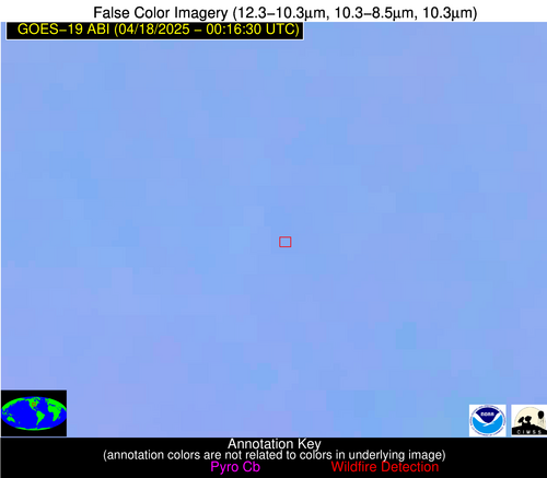
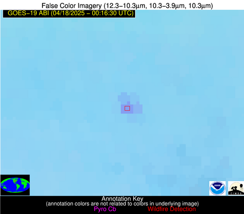
| Latest Satellite Imagery: | |
| View all event imagery » | |
Possible Wildfire
| Basic Information | |
|---|---|
| State/Province(s) | OK |
| Country/Countries | United States |
| County/Locality(s) | Le Flore County, OK |
| NWS WFO | Tulsa OK |
| Identification Method | Enhanced Contextual (Clear) |
| Mean Object Date/Time | 2025-04-18 00:17:20UTC |
| Radiative Center (Lat, Lon): | 35.109722°, -94.599167° |
| Nearby Counties (meeting alert criteria): |
|
| Total Radiative Power Anomaly | n/a |
| Total Radiative Power | 10.73 MW |
| Map: | |
| Additional Information | |
| Alert Status | New Feature |
| Type of Event | Nominal Risk |
| Event Priority Ranking | 4 |
| Maximum Observed BT (3.9 um) | 298.00 K |
| Observed - Background BT (3.9 um) | 3.74 K |
| BT Anomaly (3.9 um) | 10.04 K |
| Maximum Observed - Clear RTM BT (3.9 um) | 4.89 K |
| Maximum Observed BTD (3.9-10/11/12 um) | 7.57 K |
| Observed - Background BTD (3.9-10/11/12 um) | 2.78 K |
| BTD Anomaly (3.9-10/11/12 um) | 5.30 K |
| Similar Pixel Count | 4 |
| BT Time Tendency (3.9 um) | 3.20 K |
| Image Interval | 5.00 minutes |
| Fraction of Surrounding LWIR Pixels that are Colder | 0.98 |
| Fraction of Surrounding Red Channel Pixels that are Brighter | 1.00 |
| Maximum Radiative Power | 10.73 MW |
| Maximum Radiative Power Uncertainty | 0.00 MW |
| Total Radiative Power Uncertainty | 0.00 MW |
| Mean Viewing Angle | 45.90° |
| Mean Solar Zenith Angle | 83.70° |
| Mean Glint Angle | 57.60° |
| Water Fraction | 0.00 |
| Total Pixel Area | 5.80 km2 |
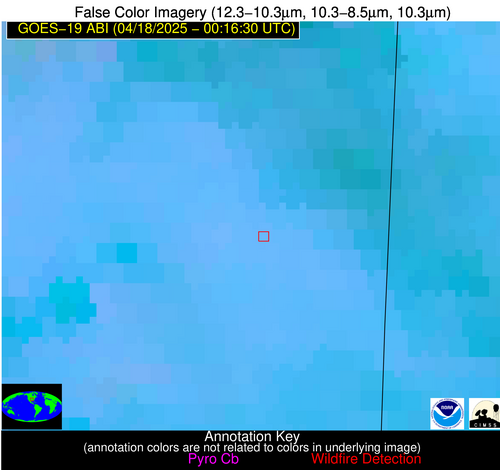
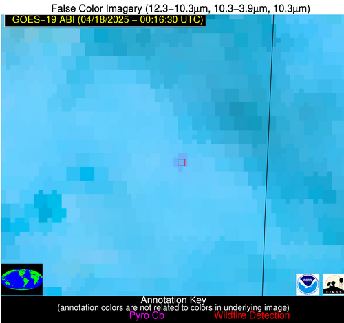
| Latest Satellite Imagery: | |
| View all event imagery » | |


