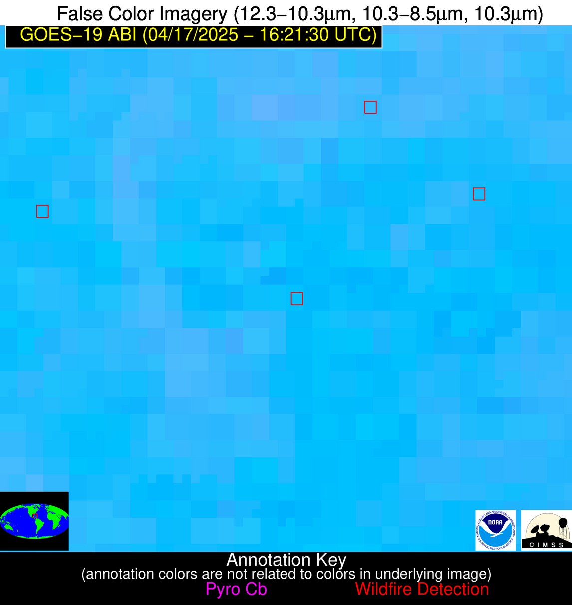
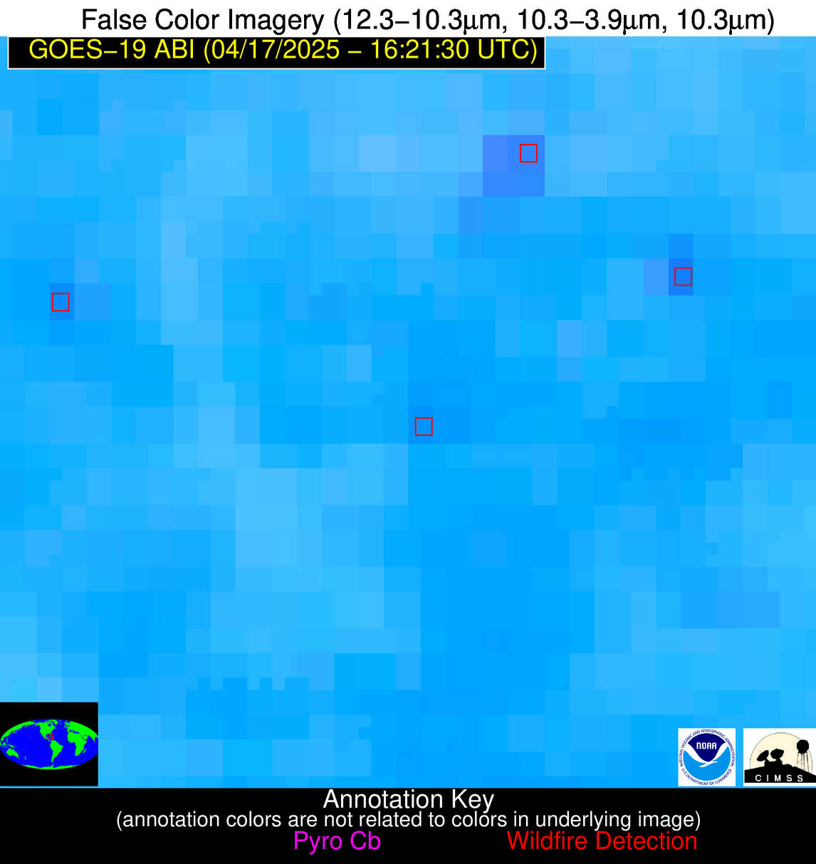
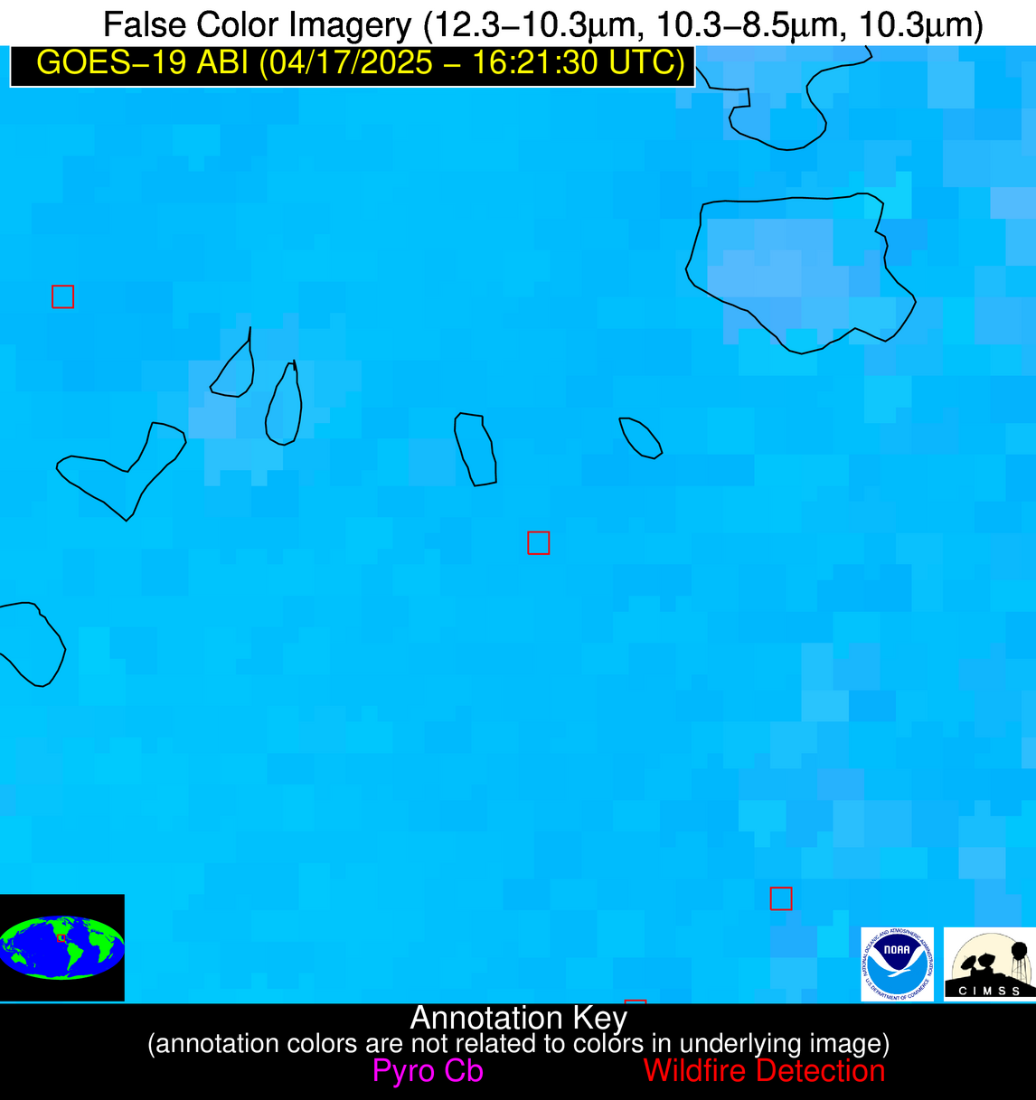
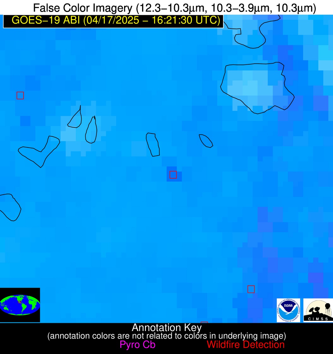
Jan 18 2026: Due to additional data center cooling system construction complications; the NGFS data and/or website may be unstable/slow to respond and/or data outages may occur.
Wildfire Alert Report
| Date: | 2025-04-17 |
|---|---|
| Time: | 16:21:17 |
| Production Date and Time: | 2025-04-17 16:26:20 UTC |
| Primary Instrument: | GOES-19 ABI |
| Wmo Spacecraft Id: | 666 |
| Location/orbit: | GEO |
| L1 File: | OR_ABI-L1b-RadC-M6C14_G19_s20251071621172_e20251071623545_c20251071624046.nc |
| L1 File(s) - Temporal | OR_ABI-L1b-RadC-M6C14_G19_s20251071616172_e20251071618545_c20251071619038.nc |
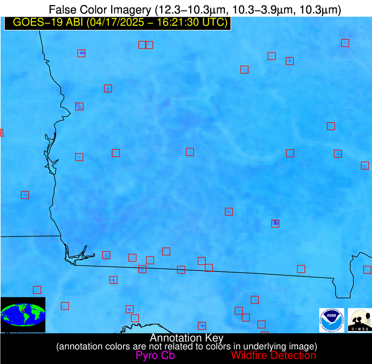
| Number Of Thermal Anomaly Alerts: | 11 |
Possible Wildfire
| Basic Information | |
|---|---|
| State/Province(s) | CO |
| Country/Countries | United States |
| County/Locality(s) | Weld County, CO |
| NWS WFO | Denver CO |
| Identification Method | Enhanced Contextual (Clear) |
| Mean Object Date/Time | 2025-04-17 16:21:49UTC |
| Radiative Center (Lat, Lon): | 40.326389°, -104.779724° |
| Nearby Counties (meeting alert criteria): |
|
| Total Radiative Power Anomaly | n/a |
| Total Radiative Power | 15.52 MW |
| Map: | |
| Additional Information | |
| Alert Status | New Feature |
| Type of Event | Nominal Risk |
| Event Priority Ranking | 4 |
| Maximum Observed BT (3.9 um) | 308.61 K |
| Observed - Background BT (3.9 um) | 3.30 K |
| BT Anomaly (3.9 um) | 2.45 K |
| Maximum Observed - Clear RTM BT (3.9 um) | 16.83 K |
| Maximum Observed BTD (3.9-10/11/12 um) | 14.65 K |
| Observed - Background BTD (3.9-10/11/12 um) | 3.02 K |
| BTD Anomaly (3.9-10/11/12 um) | 3.48 K |
| Similar Pixel Count | 25 |
| BT Time Tendency (3.9 um) | 0.70 K |
| Image Interval | 5.00 minutes |
| Fraction of Surrounding LWIR Pixels that are Colder | 0.62 |
| Fraction of Surrounding Red Channel Pixels that are Brighter | 0.99 |
| Maximum Radiative Power | 15.52 MW |
| Maximum Radiative Power Uncertainty | 0.00 MW |
| Total Radiative Power Uncertainty | 0.00 MW |
| Mean Viewing Angle | 56.00° |
| Mean Solar Zenith Angle | 46.00° |
| Mean Glint Angle | 100.10° |
| Water Fraction | 0.00 |
| Total Pixel Area | 7.10 km2 |
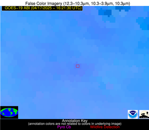
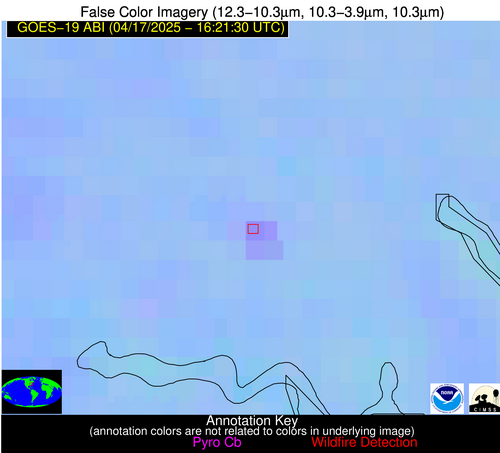
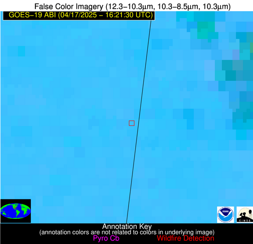
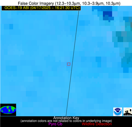
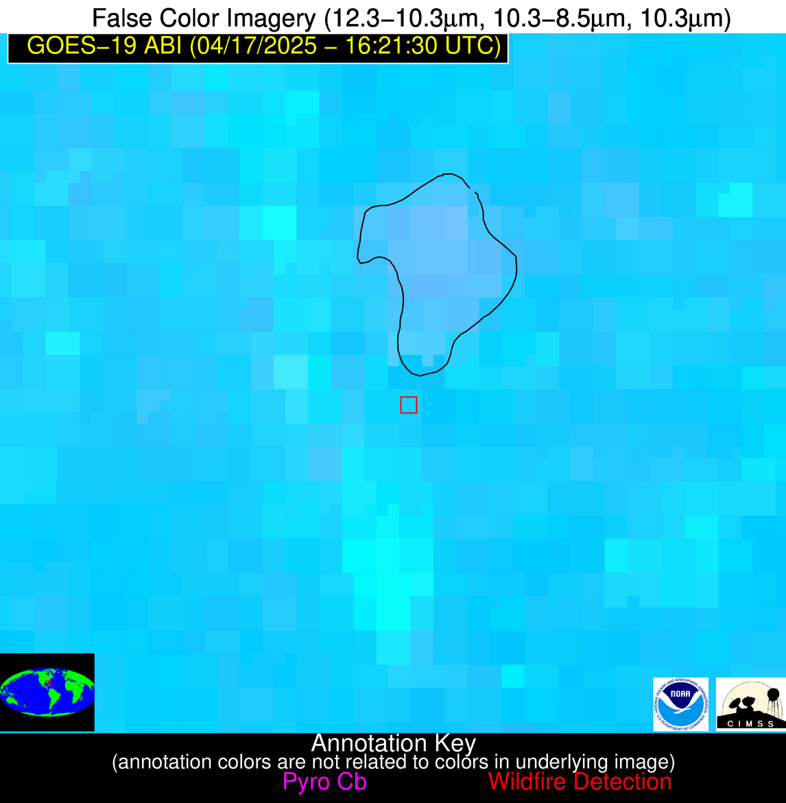
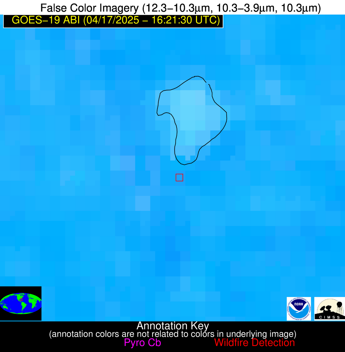
| Latest Satellite Imagery: | |
| View all event imagery » | |
Possible Wildfire
| Basic Information | |
|---|---|
| State/Province(s) | VA |
| Country/Countries | United States |
| County/Locality(s) | New Kent County, VA |
| NWS WFO | Wakefield VA |
| Identification Method | Enhanced Contextual (Clear) |
| Mean Object Date/Time | 2025-04-17 16:21:52UTC |
| Radiative Center (Lat, Lon): | 37.488335°, -77.043610° |
| Nearby Counties (meeting alert criteria): |
|
| Total Radiative Power Anomaly | n/a |
| Total Radiative Power | 34.09 MW |
| Map: | |
| Additional Information | |
| Alert Status | New Feature |
| Type of Event | Nominal Risk |
| Event Priority Ranking | 4 |
| Maximum Observed BT (3.9 um) | 304.36 K |
| Observed - Background BT (3.9 um) | 8.25 K |
| BT Anomaly (3.9 um) | 9.46 K |
| Maximum Observed - Clear RTM BT (3.9 um) | 18.31 K |
| Maximum Observed BTD (3.9-10/11/12 um) | 11.60 K |
| Observed - Background BTD (3.9-10/11/12 um) | 6.46 K |
| BTD Anomaly (3.9-10/11/12 um) | 15.20 K |
| Similar Pixel Count | 4 |
| BT Time Tendency (3.9 um) | 5.20 K |
| Image Interval | 5.00 minutes |
| Fraction of Surrounding LWIR Pixels that are Colder | 1.00 |
| Fraction of Surrounding Red Channel Pixels that are Brighter | 0.85 |
| Maximum Radiative Power | 19.74 MW |
| Maximum Radiative Power Uncertainty | 0.00 MW |
| Total Radiative Power Uncertainty | 0.00 MW |
| Mean Viewing Angle | 43.70° |
| Mean Solar Zenith Angle | 29.30° |
| Mean Glint Angle | 71.60° |
| Water Fraction | 0.00 |
| Total Pixel Area | 11.10 km2 |
| Latest Satellite Imagery: | |
| View all event imagery » | |
Possible Wildfire
| Basic Information | |
|---|---|
| State/Province(s) | GA |
| Country/Countries | United States |
| County/Locality(s) | Burke County, GA |
| NWS WFO | Columbia SC |
| Identification Method | Enhanced Contextual (Clear) |
| Mean Object Date/Time | 2025-04-17 16:22:22UTC |
| Radiative Center (Lat, Lon): | 32.967777°, -82.101944° |
| Nearby Counties (meeting alert criteria): |
|
| Total Radiative Power Anomaly | n/a |
| Total Radiative Power | 13.24 MW |
| Map: | |
| Additional Information | |
| Alert Status | New Feature |
| Type of Event | Nominal Risk |
| Event Priority Ranking | 4 |
| Maximum Observed BT (3.9 um) | 307.38 K |
| Observed - Background BT (3.9 um) | 3.29 K |
| BT Anomaly (3.9 um) | 1.65 K |
| Maximum Observed - Clear RTM BT (3.9 um) | 13.14 K |
| Maximum Observed BTD (3.9-10/11/12 um) | 11.68 K |
| Observed - Background BTD (3.9-10/11/12 um) | 3.53 K |
| BTD Anomaly (3.9-10/11/12 um) | 3.52 K |
| Similar Pixel Count | 24 |
| BT Time Tendency (3.9 um) | 3.60 K |
| Image Interval | 5.00 minutes |
| Fraction of Surrounding LWIR Pixels that are Colder | 0.44 |
| Fraction of Surrounding Red Channel Pixels that are Brighter | 1.00 |
| Maximum Radiative Power | 13.24 MW |
| Maximum Radiative Power Uncertainty | 0.00 MW |
| Total Radiative Power Uncertainty | 0.00 MW |
| Mean Viewing Angle | 39.30° |
| Mean Solar Zenith Angle | 27.50° |
| Mean Glint Angle | 65.00° |
| Water Fraction | 0.00 |
| Total Pixel Area | 5.20 km2 |
| Latest Satellite Imagery: | |
| View all event imagery » | |
Possible Wildfire
| Basic Information | |
|---|---|
| State/Province(s) | MS |
| Country/Countries | United States |
| County/Locality(s) | Kemper County, MS |
| NWS WFO | Jackson MS |
| Identification Method | Enhanced Contextual (Clear) |
| Mean Object Date/Time | 2025-04-17 16:22:21UTC |
| Radiative Center (Lat, Lon): | 32.698612°, -88.385559° |
| Nearby Counties (meeting alert criteria): |
|
| Total Radiative Power Anomaly | n/a |
| Total Radiative Power | 5.77 MW |
| Map: | |
| Additional Information | |
| Alert Status | New Feature |
| Type of Event | Nominal Risk |
| Event Priority Ranking | 4 |
| Maximum Observed BT (3.9 um) | 301.15 K |
| Observed - Background BT (3.9 um) | 2.20 K |
| BT Anomaly (3.9 um) | 2.82 K |
| Maximum Observed - Clear RTM BT (3.9 um) | 8.75 K |
| Maximum Observed BTD (3.9-10/11/12 um) | 9.44 K |
| Observed - Background BTD (3.9-10/11/12 um) | 2.00 K |
| BTD Anomaly (3.9-10/11/12 um) | 3.92 K |
| Similar Pixel Count | 25 |
| BT Time Tendency (3.9 um) | 0.80 K |
| Image Interval | 5.00 minutes |
| Fraction of Surrounding LWIR Pixels that are Colder | 0.68 |
| Fraction of Surrounding Red Channel Pixels that are Brighter | 0.96 |
| Maximum Radiative Power | 5.77 MW |
| Maximum Radiative Power Uncertainty | 0.00 MW |
| Total Radiative Power Uncertainty | 0.00 MW |
| Mean Viewing Angle | 40.80° |
| Mean Solar Zenith Angle | 30.90° |
| Mean Glint Angle | 69.80° |
| Water Fraction | 0.00 |
| Total Pixel Area | 5.30 km2 |
| Latest Satellite Imagery: | |
| View all event imagery » | |
Possible Wildfire
| Basic Information | |
|---|---|
| State/Province(s) | GA |
| Country/Countries | United States |
| County/Locality(s) | Grady County, GA |
| NWS WFO | Tallahassee FL |
| Identification Method | Enhanced Contextual (Clear) |
| Mean Object Date/Time | 2025-04-17 16:22:21UTC |
| Radiative Center (Lat, Lon): | 30.751112°, -84.090279° |
| Nearby Counties (meeting alert criteria): |
|
| Total Radiative Power Anomaly | n/a |
| Total Radiative Power | 6.74 MW |
| Map: | |
| Additional Information | |
| Alert Status | New Feature |
| Type of Event | Nominal Risk |
| Event Priority Ranking | 4 |
| Maximum Observed BT (3.9 um) | 306.57 K |
| Observed - Background BT (3.9 um) | 2.21 K |
| BT Anomaly (3.9 um) | 1.11 K |
| Maximum Observed - Clear RTM BT (3.9 um) | 10.74 K |
| Maximum Observed BTD (3.9-10/11/12 um) | 9.78 K |
| Observed - Background BTD (3.9-10/11/12 um) | 2.08 K |
| BTD Anomaly (3.9-10/11/12 um) | 2.04 K |
| Similar Pixel Count | 23 |
| BT Time Tendency (3.9 um) | 1.50 K |
| Image Interval | 5.00 minutes |
| Fraction of Surrounding LWIR Pixels that are Colder | 0.51 |
| Fraction of Surrounding Red Channel Pixels that are Brighter | 1.00 |
| Maximum Radiative Power | 6.74 MW |
| Maximum Radiative Power Uncertainty | 0.00 MW |
| Total Radiative Power Uncertainty | 0.00 MW |
| Mean Viewing Angle | 37.30° |
| Mean Solar Zenith Angle | 26.90° |
| Mean Glint Angle | 62.30° |
| Water Fraction | 0.00 |
| Total Pixel Area | 5.00 km2 |
| Latest Satellite Imagery: | |
| View all event imagery » | |
Possible Wildfire
| Basic Information | |
|---|---|
| State/Province(s) | FL |
| Country/Countries | United States |
| County/Locality(s) | Calhoun County, FL |
| NWS WFO | Tallahassee FL |
| Identification Method | Enhanced Contextual (Clear) |
| Mean Object Date/Time | 2025-04-17 16:22:21UTC |
| Radiative Center (Lat, Lon): | 30.244444°, -85.303055° |
| Nearby Counties (meeting alert criteria): |
|
| Total Radiative Power Anomaly | n/a |
| Total Radiative Power | 5.24 MW |
| Map: | |
| Additional Information | |
| Alert Status | New Feature |
| Type of Event | Nominal Risk |
| Event Priority Ranking | 4 |
| Maximum Observed BT (3.9 um) | 310.37 K |
| Observed - Background BT (3.9 um) | 3.73 K |
| BT Anomaly (3.9 um) | 2.18 K |
| Maximum Observed - Clear RTM BT (3.9 um) | 11.53 K |
| Maximum Observed BTD (3.9-10/11/12 um) | 9.74 K |
| Observed - Background BTD (3.9-10/11/12 um) | 1.61 K |
| BTD Anomaly (3.9-10/11/12 um) | 2.39 K |
| Similar Pixel Count | 25 |
| BT Time Tendency (3.9 um) | 0.90 K |
| Image Interval | 5.00 minutes |
| Fraction of Surrounding LWIR Pixels that are Colder | 0.69 |
| Fraction of Surrounding Red Channel Pixels that are Brighter | 0.96 |
| Maximum Radiative Power | 5.24 MW |
| Maximum Radiative Power Uncertainty | 0.00 MW |
| Total Radiative Power Uncertainty | 0.00 MW |
| Mean Viewing Angle | 37.10° |
| Mean Solar Zenith Angle | 27.30° |
| Mean Glint Angle | 62.50° |
| Water Fraction | 0.00 |
| Total Pixel Area | 5.00 km2 |
| Latest Satellite Imagery: | |
| View all event imagery » | |
Possible Wildfire
| Basic Information | |
|---|---|
| State/Province(s) | FL |
| Country/Countries | United States |
| County/Locality(s) | Highlands County, FL |
| NWS WFO | Tampa Bay Ruskin FL |
| Identification Method | Enhanced Contextual (Clear) |
| Mean Object Date/Time | 2025-04-17 16:22:52UTC |
| Radiative Center (Lat, Lon): | 27.276945°, -81.303055° |
| Nearby Counties (meeting alert criteria): |
|
| Total Radiative Power Anomaly | n/a |
| Total Radiative Power | 5.58 MW |
| Map: | |
| Additional Information | |
| Alert Status | New Feature |
| Type of Event | Nominal Risk |
| Event Priority Ranking | 4 |
| Maximum Observed BT (3.9 um) | 313.47 K |
| Observed - Background BT (3.9 um) | 1.82 K |
| BT Anomaly (3.9 um) | 0.97 K |
| Maximum Observed - Clear RTM BT (3.9 um) | 11.74 K |
| Maximum Observed BTD (3.9-10/11/12 um) | 11.72 K |
| Observed - Background BTD (3.9-10/11/12 um) | 1.46 K |
| BTD Anomaly (3.9-10/11/12 um) | 1.77 K |
| Similar Pixel Count | 23 |
| BT Time Tendency (3.9 um) | 1.20 K |
| Image Interval | 5.00 minutes |
| Fraction of Surrounding LWIR Pixels that are Colder | 0.69 |
| Fraction of Surrounding Red Channel Pixels that are Brighter | 0.97 |
| Maximum Radiative Power | 5.58 MW |
| Maximum Radiative Power Uncertainty | 0.00 MW |
| Total Radiative Power Uncertainty | 0.00 MW |
| Mean Viewing Angle | 32.70° |
| Mean Solar Zenith Angle | 22.70° |
| Mean Glint Angle | 53.30° |
| Water Fraction | 0.00 |
| Total Pixel Area | 4.80 km2 |
| Latest Satellite Imagery: | |
| View all event imagery » | |
Possible Wildfire
| Basic Information | |
|---|---|
| State/Province(s) | Unknown |
| Country/Countries | Cuba |
| County/Locality(s) | Unknown, Unknown |
| NWS WFO | N/A |
| Identification Method | Enhanced Contextual (Clear) |
| Mean Object Date/Time | 2025-04-17 16:23:22UTC |
| Radiative Center (Lat, Lon): | 22.664722°, -80.929726° |
| Nearby Counties (meeting alert criteria): |
|
| Total Radiative Power Anomaly | n/a |
| Total Radiative Power | 15.29 MW |
| Map: | |
| Additional Information | |
| Alert Status | New Feature |
| Type of Event | Nominal Risk |
| Event Priority Ranking | 4 |
| Maximum Observed BT (3.9 um) | 321.05 K |
| Observed - Background BT (3.9 um) | 4.59 K |
| BT Anomaly (3.9 um) | 3.26 K |
| Maximum Observed - Clear RTM BT (3.9 um) | 15.93 K |
| Maximum Observed BTD (3.9-10/11/12 um) | 14.90 K |
| Observed - Background BTD (3.9-10/11/12 um) | 3.13 K |
| BTD Anomaly (3.9-10/11/12 um) | 3.63 K |
| Similar Pixel Count | 19 |
| BT Time Tendency (3.9 um) | 2.40 K |
| Image Interval | 5.00 minutes |
| Fraction of Surrounding LWIR Pixels that are Colder | 0.99 |
| Fraction of Surrounding Red Channel Pixels that are Brighter | 0.85 |
| Maximum Radiative Power | 15.29 MW |
| Maximum Radiative Power Uncertainty | 0.00 MW |
| Total Radiative Power Uncertainty | 0.00 MW |
| Mean Viewing Angle | 27.40° |
| Mean Solar Zenith Angle | 19.40° |
| Mean Glint Angle | 44.30° |
| Water Fraction | 0.00 |
| Total Pixel Area | 4.50 km2 |
| Latest Satellite Imagery: | |
| View all event imagery » | |
Possible Wildfire
| Basic Information | |
|---|---|
| State/Province(s) | Veracruz de Ignacio de la Llave |
| Country/Countries | Mexico |
| County/Locality(s) | Pánuco, Veracruz de Ignacio de la Llave |
| NWS WFO | N/A |
| Identification Method | Enhanced Contextual (Clear) |
| Mean Object Date/Time | 2025-04-17 16:23:19UTC |
| Radiative Center (Lat, Lon): | 22.074722°, -98.217781° |
| Nearby Counties (meeting alert criteria): |
|
| Total Radiative Power Anomaly | n/a |
| Total Radiative Power | 27.21 MW |
| Map: | |
| Additional Information | |
| Alert Status | New Feature |
| Type of Event | Nominal Risk |
| Event Priority Ranking | 4 |
| Maximum Observed BT (3.9 um) | 315.69 K |
| Observed - Background BT (3.9 um) | 5.92 K |
| BT Anomaly (3.9 um) | 3.49 K |
| Maximum Observed - Clear RTM BT (3.9 um) | 10.60 K |
| Maximum Observed BTD (3.9-10/11/12 um) | 19.46 K |
| Observed - Background BTD (3.9-10/11/12 um) | 6.31 K |
| BTD Anomaly (3.9-10/11/12 um) | 3.90 K |
| Similar Pixel Count | 15 |
| BT Time Tendency (3.9 um) | 4.90 K |
| Image Interval | 5.00 minutes |
| Fraction of Surrounding LWIR Pixels that are Colder | 0.38 |
| Fraction of Surrounding Red Channel Pixels that are Brighter | 1.00 |
| Maximum Radiative Power | 27.21 MW |
| Maximum Radiative Power Uncertainty | 0.00 MW |
| Total Radiative Power Uncertainty | 0.00 MW |
| Mean Viewing Angle | 36.80° |
| Mean Solar Zenith Angle | 33.60° |
| Mean Glint Angle | 68.40° |
| Water Fraction | 0.00 |
| Total Pixel Area | 5.00 km2 |
| Latest Satellite Imagery: | |
| View all event imagery » | |
Possible Wildfire
| Basic Information | |
|---|---|
| State/Province(s) | Unknown |
| Country/Countries | Dominican Republic |
| County/Locality(s) | Unknown, Unknown |
| NWS WFO | N/A |
| Identification Method | Enhanced Contextual (Cloud) |
| Mean Object Date/Time | 2025-04-17 16:23:53UTC |
| Radiative Center (Lat, Lon): | 18.498611°, -69.491669° |
| Nearby Counties (meeting alert criteria): |
|
| Total Radiative Power Anomaly | n/a |
| Total Radiative Power | 38.40 MW |
| Map: | |
| Additional Information | |
| Alert Status | New Feature |
| Type of Event | Nominal Risk |
| Event Priority Ranking | 4 |
| Maximum Observed BT (3.9 um) | 320.35 K |
| Observed - Background BT (3.9 um) | 12.35 K |
| BT Anomaly (3.9 um) | 4.60 K |
| Maximum Observed - Clear RTM BT (3.9 um) | 18.76 K |
| Maximum Observed BTD (3.9-10/11/12 um) | 34.28 K |
| Observed - Background BTD (3.9-10/11/12 um) | 12.00 K |
| BTD Anomaly (3.9-10/11/12 um) | 3.57 K |
| Similar Pixel Count | 0 |
| BT Time Tendency (3.9 um) | 9.50 K |
| Image Interval | 5.00 minutes |
| Fraction of Surrounding LWIR Pixels that are Colder | 0.69 |
| Fraction of Surrounding Red Channel Pixels that are Brighter | 0.69 |
| Maximum Radiative Power | 38.40 MW |
| Maximum Radiative Power Uncertainty | 0.00 MW |
| Total Radiative Power Uncertainty | 0.00 MW |
| Mean Viewing Angle | 22.80° |
| Mean Solar Zenith Angle | 9.20° |
| Mean Glint Angle | 30.10° |
| Water Fraction | 0.00 |
| Total Pixel Area | 4.30 km2 |
| Latest Satellite Imagery: | |
| View all event imagery » | |
Possible Wildfire
| Basic Information | |
|---|---|
| State/Province(s) | Unknown |
| Country/Countries | Dominican Republic |
| County/Locality(s) | Unknown, Unknown |
| NWS WFO | N/A |
| Identification Method | Enhanced Contextual (Clear) |
| Mean Object Date/Time | 2025-04-17 16:23:53UTC |
| Radiative Center (Lat, Lon): | 18.333611°, -71.135002° |
| Nearby Counties (meeting alert criteria): |
|
| Total Radiative Power Anomaly | n/a |
| Total Radiative Power | 53.22 MW |
| Map: | |
| Additional Information | |
| Alert Status | New Feature |
| Type of Event | Likely a Solar Farm |
| Event Priority Ranking | 4 |
| Maximum Observed BT (3.9 um) | 318.95 K |
| Observed - Background BT (3.9 um) | 7.44 K |
| BT Anomaly (3.9 um) | 5.20 K |
| Maximum Observed - Clear RTM BT (3.9 um) | 13.00 K |
| Maximum Observed BTD (3.9-10/11/12 um) | 26.86 K |
| Observed - Background BTD (3.9-10/11/12 um) | 8.52 K |
| BTD Anomaly (3.9-10/11/12 um) | 10.64 K |
| Similar Pixel Count | 21 |
| BT Time Tendency (3.9 um) | 5.10 K |
| Image Interval | 5.00 minutes |
| Fraction of Surrounding LWIR Pixels that are Colder | 0.69 |
| Fraction of Surrounding Red Channel Pixels that are Brighter | 0.51 |
| Maximum Radiative Power | 27.77 MW |
| Maximum Radiative Power Uncertainty | 0.00 MW |
| Total Radiative Power Uncertainty | 0.00 MW |
| Mean Viewing Angle | 22.10° |
| Mean Solar Zenith Angle | 9.90° |
| Mean Glint Angle | 29.70° |
| Water Fraction | 0.00 |
| Total Pixel Area | 8.60 km2 |
| Latest Satellite Imagery: | |
| View all event imagery » | |

