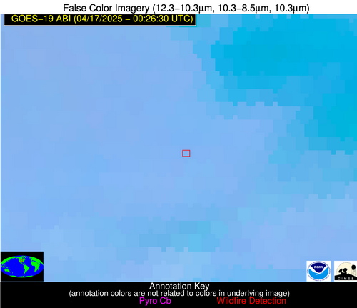
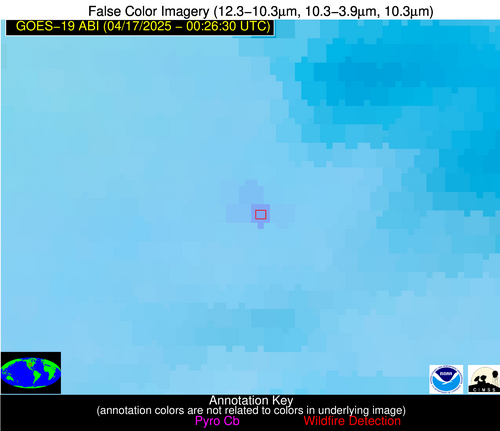
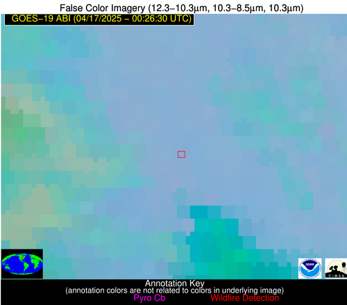
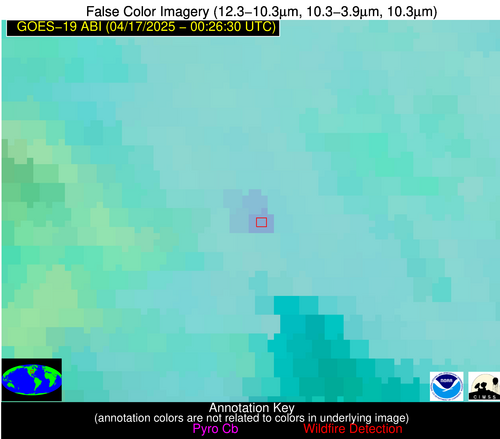
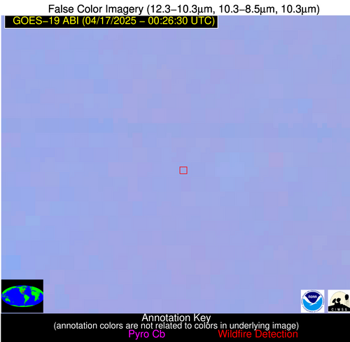
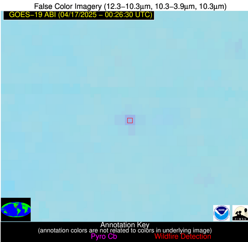
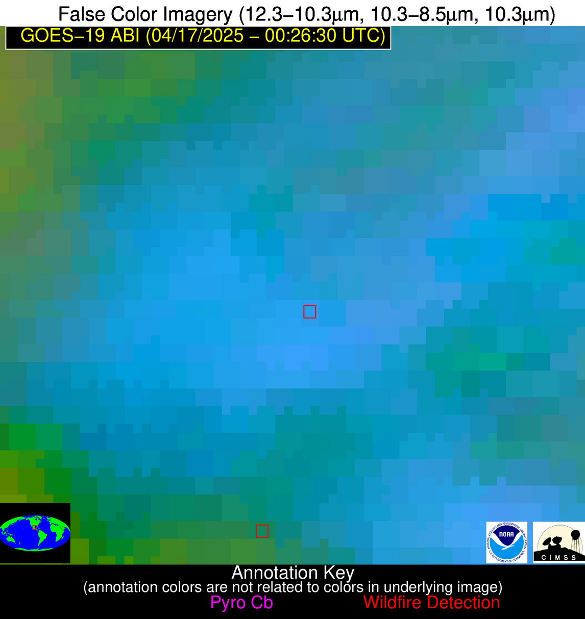
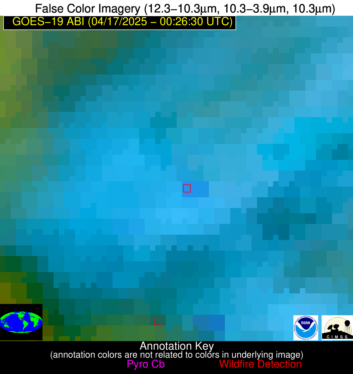
10 Jan 2026: Notice to users: ongoing data center construction may unexpectedly interrupt NGFS product generation.
Wildfire Alert Report
| Date: | 2025-04-17 |
|---|---|
| Time: | 00:26:17 |
| Production Date and Time: | 2025-04-17 00:31:20 UTC |
| Primary Instrument: | GOES-19 ABI |
| Wmo Spacecraft Id: | 666 |
| Location/orbit: | GEO |
| L1 File: | OR_ABI-L1b-RadC-M6C14_G19_s20251070026172_e20251070028545_c20251070029038.nc |
| L1 File(s) - Temporal | OR_ABI-L1b-RadC-M6C14_G19_s20251070021172_e20251070023545_c20251070024039.nc |
| Number Of Thermal Anomaly Alerts: | 4 |
Possible Wildfire
| Basic Information | |
|---|---|
| State/Province(s) | NE |
| Country/Countries | United States |
| County/Locality(s) | Nance County, NE |
| NWS WFO | Hastings NE |
| Identification Method | Enhanced Contextual (Clear) |
| Mean Object Date/Time | 2025-04-17 00:26:50UTC |
| Radiative Center (Lat, Lon): | 41.344444°, -98.118889° |
| Nearby Counties (meeting alert criteria): |
|
| Total Radiative Power Anomaly | n/a |
| Total Radiative Power | 18.29 MW |
| Map: | |
| Additional Information | |
| Alert Status | New Feature |
| Type of Event | Nominal Risk |
| Event Priority Ranking | 4 |
| Maximum Observed BT (3.9 um) | 298.26 K |
| Observed - Background BT (3.9 um) | 6.15 K |
| BT Anomaly (3.9 um) | 9.76 K |
| Maximum Observed - Clear RTM BT (3.9 um) | 6.99 K |
| Maximum Observed BTD (3.9-10/11/12 um) | 8.87 K |
| Observed - Background BTD (3.9-10/11/12 um) | 5.32 K |
| BTD Anomaly (3.9-10/11/12 um) | 7.73 K |
| Similar Pixel Count | 1 |
| BT Time Tendency (3.9 um) | 0.70 K |
| Image Interval | 5.00 minutes |
| Fraction of Surrounding LWIR Pixels that are Colder | 0.94 |
| Fraction of Surrounding Red Channel Pixels that are Brighter | 0.95 |
| Maximum Radiative Power | 18.29 MW |
| Maximum Radiative Power Uncertainty | 0.00 MW |
| Total Radiative Power Uncertainty | 0.00 MW |
| Mean Viewing Angle | 53.50° |
| Mean Solar Zenith Angle | 82.30° |
| Mean Glint Angle | 54.10° |
| Water Fraction | 0.00 |
| Total Pixel Area | 6.70 km2 |
| Latest Satellite Imagery: | |
| View all event imagery » | |
Possible Wildfire
| Basic Information | |
|---|---|
| State/Province(s) | MO |
| Country/Countries | United States |
| County/Locality(s) | Macon County, MO |
| NWS WFO | Kansas City/Pleasant Hill MO |
| Identification Method | Enhanced Contextual (Clear) |
| Mean Object Date/Time | 2025-04-17 00:26:51UTC |
| Radiative Center (Lat, Lon): | 39.997776°, -92.428055° |
| Nearby Counties (meeting alert criteria): |
|
| Total Radiative Power Anomaly | n/a |
| Total Radiative Power | 13.05 MW |
| Map: | |
| Additional Information | |
| Alert Status | New Feature |
| Type of Event | Nominal Risk |
| Event Priority Ranking | 4 |
| Maximum Observed BT (3.9 um) | 290.80 K |
| Observed - Background BT (3.9 um) | 6.02 K |
| BT Anomaly (3.9 um) | 9.06 K |
| Maximum Observed - Clear RTM BT (3.9 um) | 6.33 K |
| Maximum Observed BTD (3.9-10/11/12 um) | 8.01 K |
| Observed - Background BTD (3.9-10/11/12 um) | 5.56 K |
| BTD Anomaly (3.9-10/11/12 um) | 11.75 K |
| Similar Pixel Count | 2 |
| BT Time Tendency (3.9 um) | 3.10 K |
| Image Interval | 5.00 minutes |
| Fraction of Surrounding LWIR Pixels that are Colder | 0.79 |
| Fraction of Surrounding Red Channel Pixels that are Brighter | 0.98 |
| Maximum Radiative Power | 13.05 MW |
| Maximum Radiative Power Uncertainty | 0.00 MW |
| Total Radiative Power Uncertainty | 0.00 MW |
| Mean Viewing Angle | 49.80° |
| Mean Solar Zenith Angle | 86.70° |
| Mean Glint Angle | 60.70° |
| Water Fraction | 0.00 |
| Total Pixel Area | 6.20 km2 |
| Latest Satellite Imagery: | |
| View all event imagery » | |
Possible Wildfire
| Basic Information | |
|---|---|
| State/Province(s) | MS |
| Country/Countries | United States |
| County/Locality(s) | Lincoln County, MS |
| NWS WFO | Jackson MS |
| Identification Method | Enhanced Contextual (Clear) |
| Mean Object Date/Time | 2025-04-17 00:27:21UTC |
| Radiative Center (Lat, Lon): | 31.574444°, -90.539444° |
| Nearby Counties (meeting alert criteria): |
|
| Total Radiative Power Anomaly | n/a |
| Total Radiative Power | 10.18 MW |
| Map: | |
| Additional Information | |
| Alert Status | New Feature |
| Type of Event | Nominal Risk |
| Event Priority Ranking | 4 |
| Maximum Observed BT (3.9 um) | 293.75 K |
| Observed - Background BT (3.9 um) | 5.38 K |
| BT Anomaly (3.9 um) | 22.89 K |
| Maximum Observed - Clear RTM BT (3.9 um) | 6.77 K |
| Maximum Observed BTD (3.9-10/11/12 um) | 6.23 K |
| Observed - Background BTD (3.9-10/11/12 um) | 4.89 K |
| BTD Anomaly (3.9-10/11/12 um) | 29.61 K |
| Similar Pixel Count | 1 |
| BT Time Tendency (3.9 um) | 0.80 K |
| Image Interval | 5.00 minutes |
| Fraction of Surrounding LWIR Pixels that are Colder | 0.92 |
| Fraction of Surrounding Red Channel Pixels that are Brighter | 1.00 |
| Maximum Radiative Power | 10.18 MW |
| Maximum Radiative Power Uncertainty | 0.00 MW |
| Total Radiative Power Uncertainty | 0.00 MW |
| Mean Viewing Angle | 40.60° |
| Mean Solar Zenith Angle | 89.90° |
| Mean Glint Angle | 65.40° |
| Water Fraction | 0.00 |
| Total Pixel Area | 5.30 km2 |
| Latest Satellite Imagery: | |
| View all event imagery » | |
Possible Wildfire
| Basic Information | |
|---|---|
| State/Province(s) | Tamaulipas |
| Country/Countries | Mexico |
| County/Locality(s) | Xicoténcatl, Tamaulipas |
| NWS WFO | N/A |
| Identification Method | Enhanced Contextual (Clear) |
| Mean Object Date/Time | 2025-04-17 00:28:19UTC |
| Radiative Center (Lat, Lon): | 23.007223°, -98.962502° |
| Nearby Counties (meeting alert criteria): |
|
| Total Radiative Power Anomaly | n/a |
| Total Radiative Power | 13.47 MW |
| Map: | |
| Additional Information | |
| Alert Status | New Feature |
| Type of Event | Nominal Risk |
| Event Priority Ranking | 4 |
| Maximum Observed BT (3.9 um) | 300.52 K |
| Observed - Background BT (3.9 um) | 5.91 K |
| BT Anomaly (3.9 um) | 7.47 K |
| Maximum Observed - Clear RTM BT (3.9 um) | 1.91 K |
| Maximum Observed BTD (3.9-10/11/12 um) | 14.42 K |
| Observed - Background BTD (3.9-10/11/12 um) | 4.52 K |
| BTD Anomaly (3.9-10/11/12 um) | 6.47 K |
| Similar Pixel Count | 15 |
| BT Time Tendency (3.9 um) | 5.10 K |
| Image Interval | 5.00 minutes |
| Fraction of Surrounding LWIR Pixels that are Colder | 1.00 |
| Fraction of Surrounding Red Channel Pixels that are Brighter | 1.00 |
| Maximum Radiative Power | 13.47 MW |
| Maximum Radiative Power Uncertainty | 0.00 MW |
| Total Radiative Power Uncertainty | 0.00 MW |
| Mean Viewing Angle | 38.10° |
| Mean Solar Zenith Angle | 84.00° |
| Mean Glint Angle | 53.30° |
| Water Fraction | 0.00 |
| Total Pixel Area | 5.10 km2 |
| Latest Satellite Imagery: | |
| View all event imagery » | |
