Wildfire Alert Report
| Date: | 2025-04-16 |
|---|---|
| Time: | 20:16:17 |
| Production Date and Time: | 2025-04-16 20:23:12 UTC |
| Primary Instrument: | GOES-19 ABI |
| Wmo Spacecraft Id: | 666 |
| Location/orbit: | GEO |
| L1 File: | OR_ABI-L1b-RadC-M6C14_G19_s20251062016171_e20251062018544_c20251062019042.nc |
| L1 File(s) - Temporal | OR_ABI-L1b-RadC-M6C14_G19_s20251062011171_e20251062013544_c20251062014038.nc |
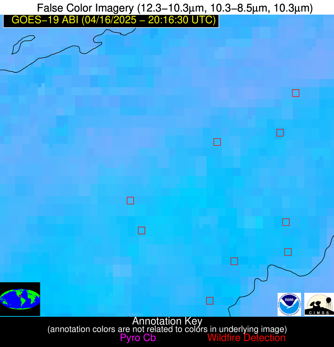
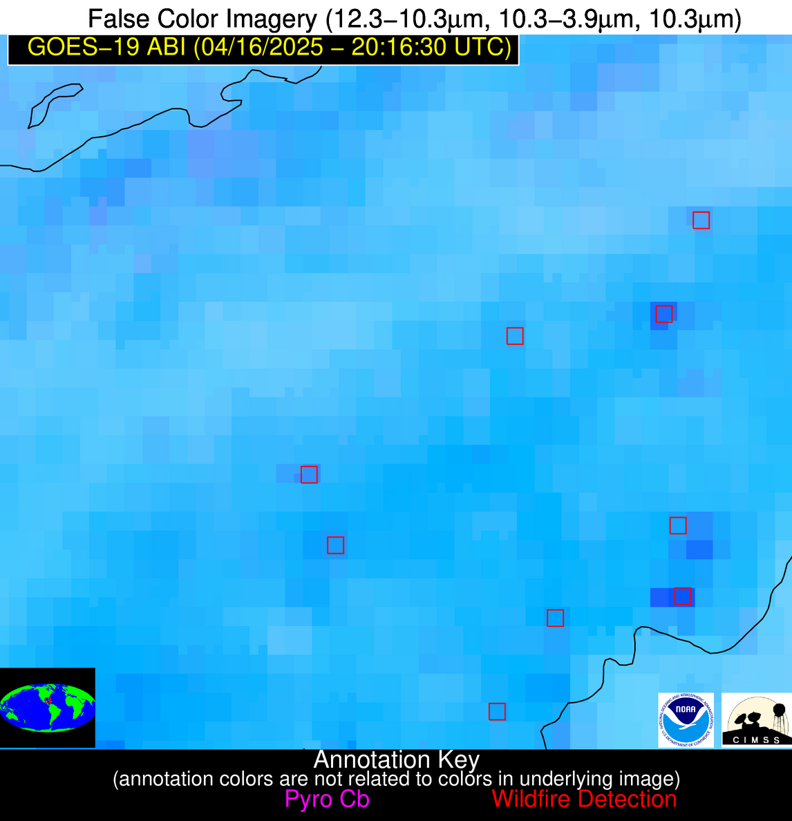
| Number Of Thermal Anomaly Alerts: | 8 |
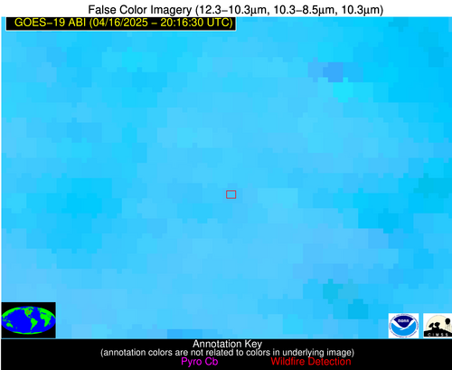
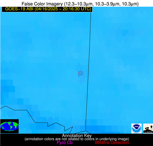
Possible Wildfire
| Basic Information | |
|---|---|
| State/Province(s) | SD |
| Country/Countries | United States |
| County/Locality(s) | Beadle County, SD |
| NWS WFO | Sioux Falls SD |
| Identification Method | Enhanced Contextual (Cloud) |
| Mean Object Date/Time | 2025-04-16 20:16:20UTC |
| Radiative Center (Lat, Lon): | 44.364445°, -98.305557° |
| Nearby Counties (meeting alert criteria): |
|
| Total Radiative Power Anomaly | n/a |
| Total Radiative Power | 194.89 MW |
| Map: | |
| Additional Information | |
| Alert Status | New Feature |
| Type of Event | Nominal Risk |
| Event Priority Ranking | 4 |
| Maximum Observed BT (3.9 um) | 320.28 K |
| Observed - Background BT (3.9 um) | 15.33 K |
| BT Anomaly (3.9 um) | 16.44 K |
| Maximum Observed - Clear RTM BT (3.9 um) | 29.26 K |
| Maximum Observed BTD (3.9-10/11/12 um) | 24.89 K |
| Observed - Background BTD (3.9-10/11/12 um) | 15.42 K |
| BTD Anomaly (3.9-10/11/12 um) | 19.20 K |
| Similar Pixel Count | 0 |
| BT Time Tendency (3.9 um) | 16.00 K |
| Image Interval | 5.00 minutes |
| Fraction of Surrounding LWIR Pixels that are Colder | 0.55 |
| Fraction of Surrounding Red Channel Pixels that are Brighter | 1.00 |
| Maximum Radiative Power | 143.02 MW |
| Maximum Radiative Power Uncertainty | 0.00 MW |
| Total Radiative Power Uncertainty | 0.00 MW |
| Mean Viewing Angle | 56.40° |
| Mean Solar Zenith Angle | 41.20° |
| Mean Glint Angle | 75.60° |
| Water Fraction | 0.00 |
| Total Pixel Area | 21.70 km2 |
| Latest Satellite Imagery: | |
| View all event imagery » | |
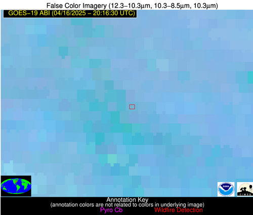
Possible Wildfire
| Basic Information | |
|---|---|
| State/Province(s) | MI |
| Country/Countries | United States |
| County/Locality(s) | Kalamazoo County, MI |
| NWS WFO | Grand Rapids MI |
| Identification Method | Enhanced Contextual (Clear) |
| Mean Object Date/Time | 2025-04-16 20:16:51UTC |
| Radiative Center (Lat, Lon): | 42.314999°, -85.329720° |
| Nearby Counties (meeting alert criteria): |
|
| Total Radiative Power Anomaly | n/a |
| Total Radiative Power | 20.66 MW |
| Map: | |
| Additional Information | |
| Alert Status | New Feature |
| Type of Event | Nominal Risk |
| Event Priority Ranking | 4 |
| Maximum Observed BT (3.9 um) | 298.99 K |
| Observed - Background BT (3.9 um) | 6.87 K |
| BT Anomaly (3.9 um) | 5.52 K |
| Maximum Observed - Clear RTM BT (3.9 um) | 19.15 K |
| Maximum Observed BTD (3.9-10/11/12 um) | 15.69 K |
| Observed - Background BTD (3.9-10/11/12 um) | 7.73 K |
| BTD Anomaly (3.9-10/11/12 um) | 5.02 K |
| Similar Pixel Count | 6 |
| BT Time Tendency (3.9 um) | 3.50 K |
| Image Interval | 5.00 minutes |
| Fraction of Surrounding LWIR Pixels that are Colder | 0.22 |
| Fraction of Surrounding Red Channel Pixels that are Brighter | 1.00 |
| Maximum Radiative Power | 20.66 MW |
| Maximum Radiative Power Uncertainty | 0.00 MW |
| Total Radiative Power Uncertainty | 0.00 MW |
| Mean Viewing Angle | 50.20° |
| Mean Solar Zenith Angle | 47.00° |
| Mean Glint Angle | 74.40° |
| Water Fraction | 0.00 |
| Total Pixel Area | 6.20 km2 |
| Latest Satellite Imagery: | |
| View all event imagery » | |
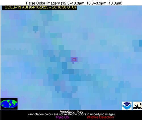
Possible Wildfire
| Basic Information | |
|---|---|
| State/Province(s) | SC |
| Country/Countries | United States |
| County/Locality(s) | Lancaster County, SC |
| NWS WFO | Columbia SC |
| Identification Method | Enhanced Contextual (Cloud) |
| Mean Object Date/Time | 2025-04-16 20:17:22UTC |
| Radiative Center (Lat, Lon): | 34.545277°, -80.771385° |
| Nearby Counties (meeting alert criteria): |
|
| Total Radiative Power Anomaly | n/a |
| Total Radiative Power | 36.04 MW |
| Map: | |
| Additional Information | |
| Alert Status | New Feature |
| Type of Event | Nominal Risk |
| Event Priority Ranking | 4 |
| Maximum Observed BT (3.9 um) | 307.64 K |
| Observed - Background BT (3.9 um) | 12.50 K |
| BT Anomaly (3.9 um) | 11.06 K |
| Maximum Observed - Clear RTM BT (3.9 um) | 19.23 K |
| Maximum Observed BTD (3.9-10/11/12 um) | 15.99 K |
| Observed - Background BTD (3.9-10/11/12 um) | 12.20 K |
| BTD Anomaly (3.9-10/11/12 um) | 17.38 K |
| Similar Pixel Count | 0 |
| BT Time Tendency (3.9 um) | 9.90 K |
| Image Interval | 5.00 minutes |
| Fraction of Surrounding LWIR Pixels that are Colder | 0.74 |
| Fraction of Surrounding Red Channel Pixels that are Brighter | 1.00 |
| Maximum Radiative Power | 36.04 MW |
| Maximum Radiative Power Uncertainty | 0.00 MW |
| Total Radiative Power Uncertainty | 0.00 MW |
| Mean Viewing Angle | 40.80° |
| Mean Solar Zenith Angle | 46.60° |
| Mean Glint Angle | 64.90° |
| Water Fraction | 0.00 |
| Total Pixel Area | 5.30 km2 |
| Latest Satellite Imagery: | |
| View all event imagery » | |
Possible Wildfire
| Basic Information | |
|---|---|
| State/Province(s) | SC |
| Country/Countries | United States |
| County/Locality(s) | Horry County, SC |
| NWS WFO | Wilmington NC |
| Identification Method | Enhanced Contextual (Clear) |
| Mean Object Date/Time | 2025-04-16 20:17:22UTC |
| Radiative Center (Lat, Lon): | 34.213055°, -79.024445° |
| Nearby Counties (meeting alert criteria): |
|
| Total Radiative Power Anomaly | n/a |
| Total Radiative Power | 20.37 MW |
| Map: | |
| Additional Information | |
| Alert Status | New Feature |
| Type of Event | Nominal Risk |
| Event Priority Ranking | 4 |
| Maximum Observed BT (3.9 um) | 305.57 K |
| Observed - Background BT (3.9 um) | 7.61 K |
| BT Anomaly (3.9 um) | 5.83 K |
| Maximum Observed - Clear RTM BT (3.9 um) | 17.20 K |
| Maximum Observed BTD (3.9-10/11/12 um) | 11.86 K |
| Observed - Background BTD (3.9-10/11/12 um) | 7.03 K |
| BTD Anomaly (3.9-10/11/12 um) | 11.78 K |
| Similar Pixel Count | 2 |
| BT Time Tendency (3.9 um) | 5.10 K |
| Image Interval | 5.00 minutes |
| Fraction of Surrounding LWIR Pixels that are Colder | 0.76 |
| Fraction of Surrounding Red Channel Pixels that are Brighter | 0.94 |
| Maximum Radiative Power | 20.37 MW |
| Maximum Radiative Power Uncertainty | 0.00 MW |
| Total Radiative Power Uncertainty | 0.00 MW |
| Mean Viewing Angle | 40.20° |
| Mean Solar Zenith Angle | 47.90° |
| Mean Glint Angle | 66.10° |
| Water Fraction | 0.00 |
| Total Pixel Area | 5.20 km2 |
| Latest Satellite Imagery: | |
| View all event imagery » | |
Possible Wildfire
| Basic Information | |
|---|---|
| State/Province(s) | OK |
| Country/Countries | United States |
| County/Locality(s) | McCurtain County, OK |
| NWS WFO | Shreveport LA |
| Identification Method | Enhanced Contextual (Clear) |
| Mean Object Date/Time | 2025-04-16 20:17:20UTC |
| Radiative Center (Lat, Lon): | 33.880280°, -94.520279° |
| Nearby Counties (meeting alert criteria): |
|
| Total Radiative Power Anomaly | n/a |
| Total Radiative Power | 7.03 MW |
| Map: | |
| Additional Information | |
| Alert Status | New Feature |
| Type of Event | Nominal Risk |
| Event Priority Ranking | 4 |
| Maximum Observed BT (3.9 um) | 301.35 K |
| Observed - Background BT (3.9 um) | 2.31 K |
| BT Anomaly (3.9 um) | 4.13 K |
| Maximum Observed - Clear RTM BT (3.9 um) | 8.91 K |
| Maximum Observed BTD (3.9-10/11/12 um) | 9.96 K |
| Observed - Background BTD (3.9-10/11/12 um) | 2.31 K |
| BTD Anomaly (3.9-10/11/12 um) | 6.10 K |
| Similar Pixel Count | 25 |
| BT Time Tendency (3.9 um) | 2.50 K |
| Image Interval | 5.00 minutes |
| Fraction of Surrounding LWIR Pixels that are Colder | 0.47 |
| Fraction of Surrounding Red Channel Pixels that are Brighter | 1.00 |
| Maximum Radiative Power | 7.03 MW |
| Maximum Radiative Power Uncertainty | 0.00 MW |
| Total Radiative Power Uncertainty | 0.00 MW |
| Mean Viewing Angle | 44.70° |
| Mean Solar Zenith Angle | 36.30° |
| Mean Glint Angle | 56.30° |
| Water Fraction | 0.00 |
| Total Pixel Area | 5.60 km2 |
| Latest Satellite Imagery: | |
| View all event imagery » | |
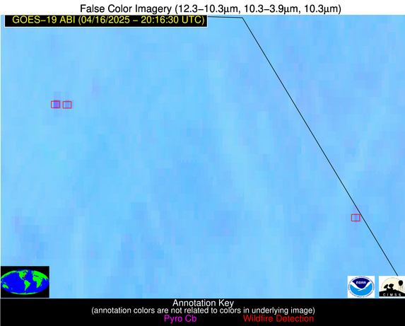
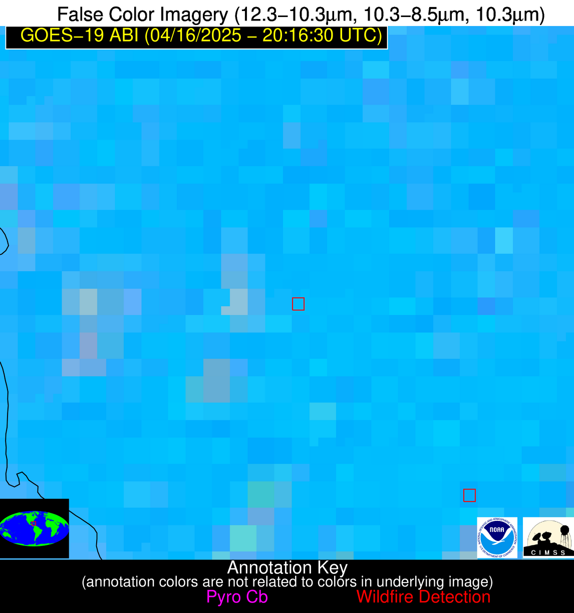
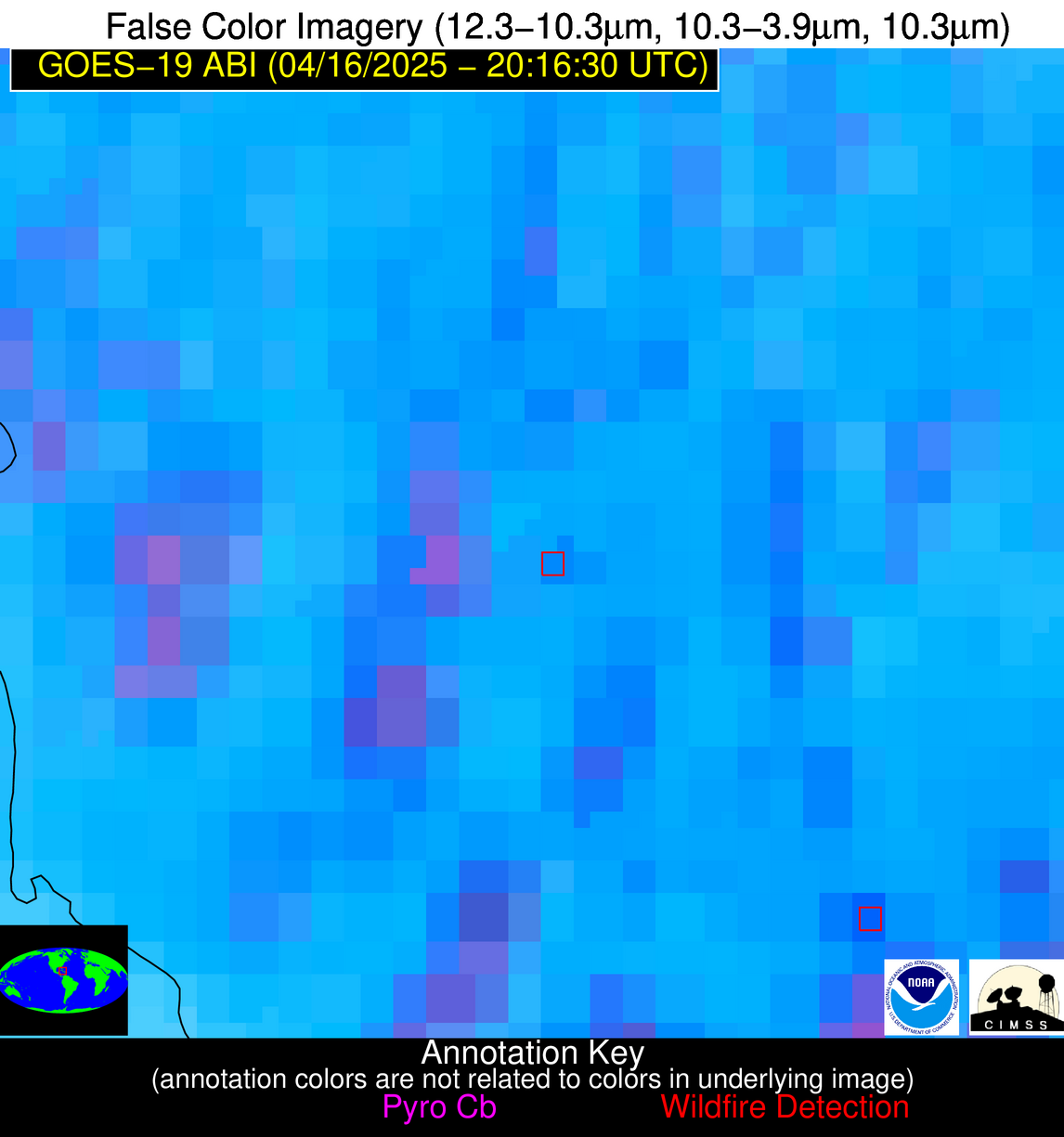
Possible Wildfire
| Basic Information | |
|---|---|
| State/Province(s) | Unknown |
| Country/Countries | Cuba |
| County/Locality(s) | Unknown, Unknown |
| NWS WFO | N/A |
| Identification Method | Enhanced Contextual (Clear) |
| Mean Object Date/Time | 2025-04-16 20:18:21UTC |
| Radiative Center (Lat, Lon): | 22.603333°, -83.371666° |
| Nearby Counties (meeting alert criteria): |
|
| Total Radiative Power Anomaly | n/a |
| Total Radiative Power | 6.66 MW |
| Map: | |
| Additional Information | |
| Alert Status | New Feature |
| Type of Event | Nominal Risk |
| Event Priority Ranking | 4 |
| Maximum Observed BT (3.9 um) | 309.16 K |
| Observed - Background BT (3.9 um) | 2.48 K |
| BT Anomaly (3.9 um) | 0.89 K |
| Maximum Observed - Clear RTM BT (3.9 um) | 8.25 K |
| Maximum Observed BTD (3.9-10/11/12 um) | 10.11 K |
| Observed - Background BTD (3.9-10/11/12 um) | 2.54 K |
| BTD Anomaly (3.9-10/11/12 um) | 1.67 K |
| Similar Pixel Count | 22 |
| BT Time Tendency (3.9 um) | 1.40 K |
| Image Interval | 5.00 minutes |
| Fraction of Surrounding LWIR Pixels that are Colder | 0.50 |
| Fraction of Surrounding Red Channel Pixels that are Brighter | 1.00 |
| Maximum Radiative Power | 6.66 MW |
| Maximum Radiative Power Uncertainty | 0.00 MW |
| Total Radiative Power Uncertainty | 0.00 MW |
| Mean Viewing Angle | 28.20° |
| Mean Solar Zenith Angle | 41.00° |
| Mean Glint Angle | 44.40° |
| Water Fraction | 0.00 |
| Total Pixel Area | 4.50 km2 |
| Latest Satellite Imagery: | |
| View all event imagery » | |
Possible Wildfire
| Basic Information | |
|---|---|
| State/Province(s) | Unknown |
| Country/Countries | Cuba |
| County/Locality(s) | Unknown, Unknown |
| NWS WFO | N/A |
| Identification Method | Enhanced Contextual (Clear) |
| Mean Object Date/Time | 2025-04-16 20:18:21UTC |
| Radiative Center (Lat, Lon): | 22.482222°, -83.564163° |
| Nearby Counties (meeting alert criteria): |
|
| Total Radiative Power Anomaly | n/a |
| Total Radiative Power | 16.88 MW |
| Map: | |
| Additional Information | |
| Alert Status | New Feature |
| Type of Event | Nominal Risk |
| Event Priority Ranking | 4 |
| Maximum Observed BT (3.9 um) | 312.67 K |
| Observed - Background BT (3.9 um) | 5.86 K |
| BT Anomaly (3.9 um) | 2.05 K |
| Maximum Observed - Clear RTM BT (3.9 um) | 10.97 K |
| Maximum Observed BTD (3.9-10/11/12 um) | 13.74 K |
| Observed - Background BTD (3.9-10/11/12 um) | 6.24 K |
| BTD Anomaly (3.9-10/11/12 um) | 3.92 K |
| Similar Pixel Count | 10 |
| BT Time Tendency (3.9 um) | 2.20 K |
| Image Interval | 5.00 minutes |
| Fraction of Surrounding LWIR Pixels that are Colder | 0.34 |
| Fraction of Surrounding Red Channel Pixels that are Brighter | 1.00 |
| Maximum Radiative Power | 16.88 MW |
| Maximum Radiative Power Uncertainty | 0.00 MW |
| Total Radiative Power Uncertainty | 0.00 MW |
| Mean Viewing Angle | 28.10° |
| Mean Solar Zenith Angle | 40.80° |
| Mean Glint Angle | 44.00° |
| Water Fraction | 0.00 |
| Total Pixel Area | 4.50 km2 |
| Latest Satellite Imagery: | |
| View all event imagery » | |
Possible Wildfire
| Basic Information | |
|---|---|
| State/Province(s) | Unknown |
| Country/Countries | Cuba |
| County/Locality(s) | Unknown, Unknown |
| NWS WFO | N/A |
| Identification Method | Enhanced Contextual (Clear) |
| Mean Object Date/Time | 2025-04-16 20:18:22UTC |
| Radiative Center (Lat, Lon): | 21.202223°, -78.222221° |
| Nearby Counties (meeting alert criteria): |
|
| Total Radiative Power Anomaly | n/a |
| Total Radiative Power | 12.72 MW |
| Map: | |
| Additional Information | |
| Alert Status | New Feature |
| Type of Event | Nominal Risk |
| Event Priority Ranking | 4 |
| Maximum Observed BT (3.9 um) | 313.97 K |
| Observed - Background BT (3.9 um) | 4.65 K |
| BT Anomaly (3.9 um) | 1.96 K |
| Maximum Observed - Clear RTM BT (3.9 um) | 8.80 K |
| Maximum Observed BTD (3.9-10/11/12 um) | 16.84 K |
| Observed - Background BTD (3.9-10/11/12 um) | 4.59 K |
| BTD Anomaly (3.9-10/11/12 um) | 2.31 K |
| Similar Pixel Count | 22 |
| BT Time Tendency (3.9 um) | 4.60 K |
| Image Interval | 5.00 minutes |
| Fraction of Surrounding LWIR Pixels that are Colder | 0.67 |
| Fraction of Surrounding Red Channel Pixels that are Brighter | 1.00 |
| Maximum Radiative Power | 12.72 MW |
| Maximum Radiative Power Uncertainty | 0.00 MW |
| Total Radiative Power Uncertainty | 0.00 MW |
| Mean Viewing Angle | 25.20° |
| Mean Solar Zenith Angle | 45.50° |
| Mean Glint Angle | 50.20° |
| Water Fraction | 0.00 |
| Total Pixel Area | 4.40 km2 |
| Latest Satellite Imagery: | |
| View all event imagery » | |
