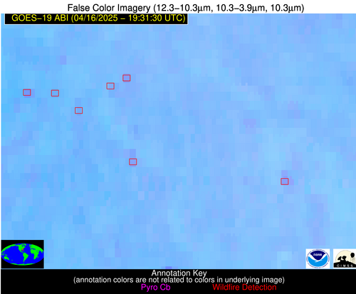
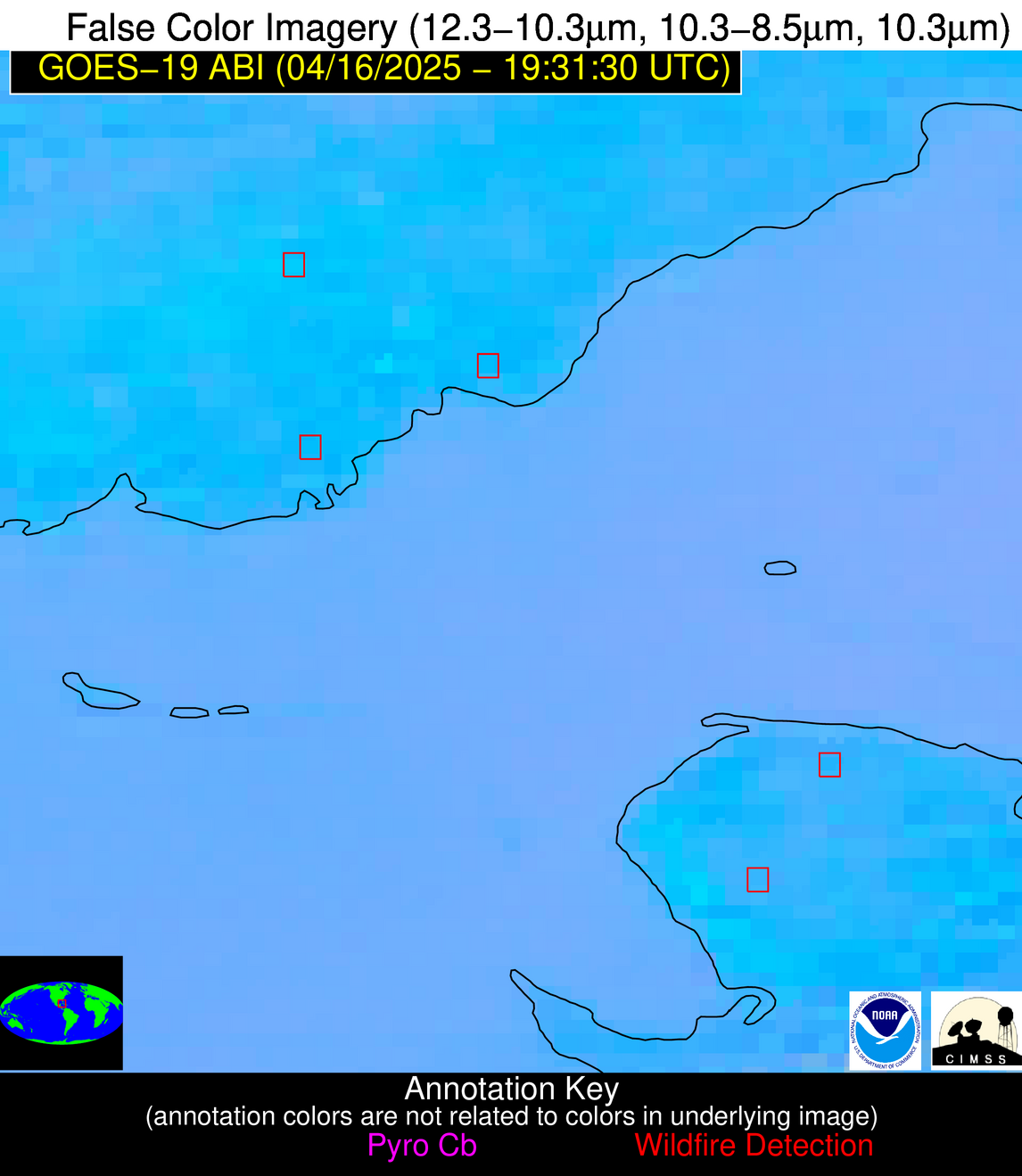
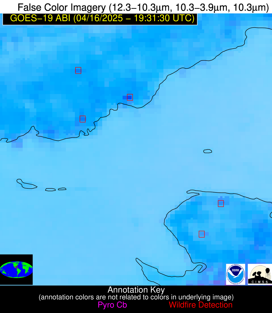
10 Jan 2026: Notice to users: ongoing data center construction may unexpectedly interrupt NGFS product generation.
Wildfire Alert Report
| Date: | 2025-04-16 |
|---|---|
| Time: | 19:31:17 |
| Production Date and Time: | 2025-04-16 19:36:24 UTC |
| Primary Instrument: | GOES-19 ABI |
| Wmo Spacecraft Id: | 666 |
| Location/orbit: | GEO |
| L1 File: | OR_ABI-L1b-RadC-M6C14_G19_s20251061931171_e20251061933544_c20251061934053.nc |
| L1 File(s) - Temporal | OR_ABI-L1b-RadC-M6C14_G19_s20251061926171_e20251061928544_c20251061929018.nc |
| Number Of Thermal Anomaly Alerts: | 14 |
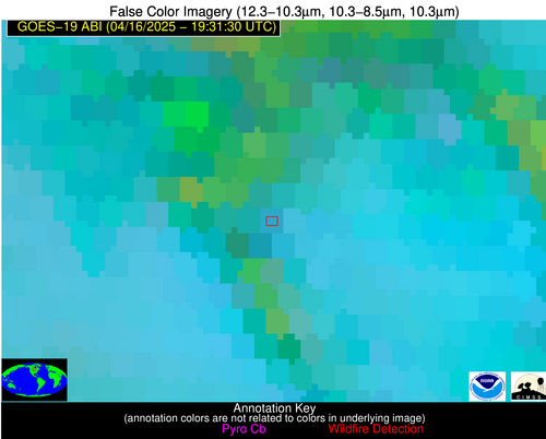
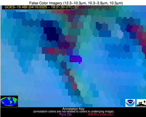
Possible Wildfire
| Basic Information | |
|---|---|
| State/Province(s) | ND |
| Country/Countries | United States |
| County/Locality(s) | Walsh County, ND |
| NWS WFO | Grand Forks ND |
| Identification Method | Enhanced Contextual (Cloud) |
| Mean Object Date/Time | 2025-04-16 19:31:20UTC |
| Radiative Center (Lat, Lon): | 48.259445°, -97.766388° |
| Nearby Counties (meeting alert criteria): |
|
| Total Radiative Power Anomaly | n/a |
| Total Radiative Power | 357.18 MW |
| Map: | |
| Additional Information | |
| Alert Status | New Feature |
| Type of Event | Nominal Risk |
| Event Priority Ranking | 4 |
| Maximum Observed BT (3.9 um) | 325.75 K |
| Observed - Background BT (3.9 um) | 32.40 K |
| BT Anomaly (3.9 um) | 13.47 K |
| Maximum Observed - Clear RTM BT (3.9 um) | 40.17 K |
| Maximum Observed BTD (3.9-10/11/12 um) | 46.96 K |
| Observed - Background BTD (3.9-10/11/12 um) | 32.44 K |
| BTD Anomaly (3.9-10/11/12 um) | 14.33 K |
| Similar Pixel Count | 0 |
| BT Time Tendency (3.9 um) | 28.70 K |
| Image Interval | 5.00 minutes |
| Fraction of Surrounding LWIR Pixels that are Colder | 0.54 |
| Fraction of Surrounding Red Channel Pixels that are Brighter | 1.00 |
| Maximum Radiative Power | 234.09 MW |
| Maximum Radiative Power Uncertainty | 0.00 MW |
| Total Radiative Power Uncertainty | 0.00 MW |
| Mean Viewing Angle | 59.90° |
| Mean Solar Zenith Angle | 40.50° |
| Mean Glint Angle | 87.80° |
| Water Fraction | 0.00 |
| Total Pixel Area | 16.00 km2 |
| Latest Satellite Imagery: | |
| View all event imagery » | |
Possible Wildfire
| Basic Information | |
|---|---|
| State/Province(s) | WI |
| Country/Countries | United States |
| County/Locality(s) | Jefferson County, WI |
| NWS WFO | Milwaukee/Sullivan WI |
| Identification Method | Enhanced Contextual (Clear) |
| Mean Object Date/Time | 2025-04-16 19:31:21UTC |
| Radiative Center (Lat, Lon): | 42.928333°, -88.706108° |
| Nearby Counties (meeting alert criteria): |
|
| Total Radiative Power Anomaly | n/a |
| Total Radiative Power | 37.48 MW |
| Map: | |
| Additional Information | |
| Alert Status | New Feature |
| Type of Event | Nominal Risk |
| Event Priority Ranking | 4 |
| Maximum Observed BT (3.9 um) | 305.16 K |
| Observed - Background BT (3.9 um) | 7.57 K |
| BT Anomaly (3.9 um) | 4.99 K |
| Maximum Observed - Clear RTM BT (3.9 um) | 19.11 K |
| Maximum Observed BTD (3.9-10/11/12 um) | 19.83 K |
| Observed - Background BTD (3.9-10/11/12 um) | 7.19 K |
| BTD Anomaly (3.9-10/11/12 um) | 5.69 K |
| Similar Pixel Count | 12 |
| BT Time Tendency (3.9 um) | 5.90 K |
| Image Interval | 5.00 minutes |
| Fraction of Surrounding LWIR Pixels that are Colder | 0.74 |
| Fraction of Surrounding Red Channel Pixels that are Brighter | 0.96 |
| Maximum Radiative Power | 37.48 MW |
| Maximum Radiative Power Uncertainty | 0.00 MW |
| Total Radiative Power Uncertainty | 0.00 MW |
| Mean Viewing Angle | 51.70° |
| Mean Solar Zenith Angle | 39.30° |
| Mean Glint Angle | 77.00° |
| Water Fraction | 0.00 |
| Total Pixel Area | 12.90 km2 |
| Latest Satellite Imagery: | |
| View all event imagery » | |
Possible Wildfire
| Basic Information | |
|---|---|
| State/Province(s) | NE |
| Country/Countries | United States |
| County/Locality(s) | Knox County, NE |
| NWS WFO | Omaha/Valley NE |
| Identification Method | Enhanced Contextual (Cloud) |
| Mean Object Date/Time | 2025-04-16 19:31:50UTC |
| Radiative Center (Lat, Lon): | 42.816944°, -98.286942° |
| Nearby Counties (meeting alert criteria): |
|
| Total Radiative Power Anomaly | n/a |
| Total Radiative Power | 45.25 MW |
| Map: | |
| Additional Information | |
| Alert Status | New Feature |
| Type of Event | Nominal Risk |
| Event Priority Ranking | 4 |
| Maximum Observed BT (3.9 um) | 315.14 K |
| Observed - Background BT (3.9 um) | 8.15 K |
| BT Anomaly (3.9 um) | 7.82 K |
| Maximum Observed - Clear RTM BT (3.9 um) | 20.40 K |
| Maximum Observed BTD (3.9-10/11/12 um) | 16.13 K |
| Observed - Background BTD (3.9-10/11/12 um) | 8.05 K |
| BTD Anomaly (3.9-10/11/12 um) | 15.55 K |
| Similar Pixel Count | 0 |
| BT Time Tendency (3.9 um) | 7.80 K |
| Image Interval | 5.00 minutes |
| Fraction of Surrounding LWIR Pixels that are Colder | 0.62 |
| Fraction of Surrounding Red Channel Pixels that are Brighter | 1.00 |
| Maximum Radiative Power | 45.25 MW |
| Maximum Radiative Power Uncertainty | 0.00 MW |
| Total Radiative Power Uncertainty | 0.00 MW |
| Mean Viewing Angle | 55.00° |
| Mean Solar Zenith Angle | 35.40° |
| Mean Glint Angle | 77.70° |
| Water Fraction | 0.00 |
| Total Pixel Area | 7.00 km2 |
| Latest Satellite Imagery: | |
| View all event imagery » | |
Possible Wildfire
| Basic Information | |
|---|---|
| State/Province(s) | MO |
| Country/Countries | United States |
| County/Locality(s) | Phelps County, MO |
| NWS WFO | Springfield MO |
| Identification Method | Enhanced Contextual (Cloud) |
| Mean Object Date/Time | 2025-04-16 19:31:51UTC |
| Radiative Center (Lat, Lon): | 38.048054°, -91.815834° |
| Nearby Counties (meeting alert criteria): |
|
| Total Radiative Power Anomaly | n/a |
| Total Radiative Power | 28.61 MW |
| Map: | |
| Additional Information | |
| Alert Status | New Feature |
| Type of Event | Nominal Risk |
| Event Priority Ranking | 4 |
| Maximum Observed BT (3.9 um) | 298.78 K |
| Observed - Background BT (3.9 um) | 6.70 K |
| BT Anomaly (3.9 um) | 4.59 K |
| Maximum Observed - Clear RTM BT (3.9 um) | 9.32 K |
| Maximum Observed BTD (3.9-10/11/12 um) | 26.83 K |
| Observed - Background BTD (3.9-10/11/12 um) | 6.48 K |
| BTD Anomaly (3.9-10/11/12 um) | 3.87 K |
| Similar Pixel Count | 0 |
| BT Time Tendency (3.9 um) | 1.30 K |
| Image Interval | 5.00 minutes |
| Fraction of Surrounding LWIR Pixels that are Colder | 0.60 |
| Fraction of Surrounding Red Channel Pixels that are Brighter | 0.74 |
| Maximum Radiative Power | 28.61 MW |
| Maximum Radiative Power Uncertainty | 0.00 MW |
| Total Radiative Power Uncertainty | 0.00 MW |
| Mean Viewing Angle | 47.60° |
| Mean Solar Zenith Angle | 34.00° |
| Mean Glint Angle | 67.40° |
| Water Fraction | 0.00 |
| Total Pixel Area | 5.90 km2 |
| Latest Satellite Imagery: | |
| View all event imagery » | |
Possible Wildfire
| Basic Information | |
|---|---|
| State/Province(s) | KS |
| Country/Countries | United States |
| County/Locality(s) | Butler County, KS |
| NWS WFO | Wichita KS |
| Identification Method | Enhanced Contextual (Cloud) |
| Mean Object Date/Time | 2025-04-16 19:31:50UTC |
| Radiative Center (Lat, Lon): | 37.681946°, -96.759720° |
| Nearby Counties (meeting alert criteria): |
|
| Total Radiative Power Anomaly | n/a |
| Total Radiative Power | 155.90 MW |
| Map: | |
| Additional Information | |
| Alert Status | New Feature |
| Type of Event | Nominal Risk |
| Event Priority Ranking | 4 |
| Maximum Observed BT (3.9 um) | 319.74 K |
| Observed - Background BT (3.9 um) | 16.73 K |
| BT Anomaly (3.9 um) | 8.73 K |
| Maximum Observed - Clear RTM BT (3.9 um) | 27.11 K |
| Maximum Observed BTD (3.9-10/11/12 um) | 31.59 K |
| Observed - Background BTD (3.9-10/11/12 um) | 17.18 K |
| BTD Anomaly (3.9-10/11/12 um) | 10.36 K |
| Similar Pixel Count | 0 |
| BT Time Tendency (3.9 um) | 19.20 K |
| Image Interval | 5.00 minutes |
| Fraction of Surrounding LWIR Pixels that are Colder | 0.83 |
| Fraction of Surrounding Red Channel Pixels that are Brighter | 0.93 |
| Maximum Radiative Power | 87.24 MW |
| Maximum Radiative Power Uncertainty | 0.00 MW |
| Total Radiative Power Uncertainty | 0.00 MW |
| Mean Viewing Angle | 49.40° |
| Mean Solar Zenith Angle | 31.40° |
| Mean Glint Angle | 67.40° |
| Water Fraction | 0.00 |
| Total Pixel Area | 12.30 km2 |
| Latest Satellite Imagery: | |
| View all event imagery » | |
Possible Wildfire
| Basic Information | |
|---|---|
| State/Province(s) | SC |
| Country/Countries | United States |
| County/Locality(s) | Abbeville County, SC |
| NWS WFO | Greenville-Spartanburg SC |
| Identification Method | Enhanced Contextual (Clear) |
| Mean Object Date/Time | 2025-04-16 19:32:22UTC |
| Radiative Center (Lat, Lon): | 34.416668°, -82.356941° |
| Nearby Counties (meeting alert criteria): |
|
| Total Radiative Power Anomaly | n/a |
| Total Radiative Power | 7.99 MW |
| Map: | |
| Additional Information | |
| Alert Status | New Feature |
| Type of Event | Nominal Risk |
| Event Priority Ranking | 4 |
| Maximum Observed BT (3.9 um) | 300.36 K |
| Observed - Background BT (3.9 um) | 2.98 K |
| BT Anomaly (3.9 um) | 3.75 K |
| Maximum Observed - Clear RTM BT (3.9 um) | 10.53 K |
| Maximum Observed BTD (3.9-10/11/12 um) | 7.15 K |
| Observed - Background BTD (3.9-10/11/12 um) | 2.90 K |
| BTD Anomaly (3.9-10/11/12 um) | 8.20 K |
| Similar Pixel Count | 6 |
| BT Time Tendency (3.9 um) | 2.20 K |
| Image Interval | 5.00 minutes |
| Fraction of Surrounding LWIR Pixels that are Colder | 0.62 |
| Fraction of Surrounding Red Channel Pixels that are Brighter | 1.00 |
| Maximum Radiative Power | 7.99 MW |
| Maximum Radiative Power Uncertainty | 0.00 MW |
| Total Radiative Power Uncertainty | 0.00 MW |
| Mean Viewing Angle | 40.90° |
| Mean Solar Zenith Angle | 37.20° |
| Mean Glint Angle | 62.90° |
| Water Fraction | 0.00 |
| Total Pixel Area | 5.30 km2 |
| Latest Satellite Imagery: | |
| View all event imagery » | |
Possible Wildfire
| Basic Information | |
|---|---|
| State/Province(s) | GA |
| Country/Countries | United States |
| County/Locality(s) | Worth County, GA |
| NWS WFO | Tallahassee FL |
| Identification Method | Enhanced Contextual (Clear) |
| Mean Object Date/Time | 2025-04-16 19:32:21UTC |
| Radiative Center (Lat, Lon): | 31.418056°, -83.944443° |
| Nearby Counties (meeting alert criteria): |
|
| Total Radiative Power Anomaly | n/a |
| Total Radiative Power | 6.67 MW |
| Map: | |
| Additional Information | |
| Alert Status | New Feature |
| Type of Event | Nominal Risk |
| Event Priority Ranking | 4 |
| Maximum Observed BT (3.9 um) | 306.47 K |
| Observed - Background BT (3.9 um) | 2.62 K |
| BT Anomaly (3.9 um) | 1.45 K |
| Maximum Observed - Clear RTM BT (3.9 um) | 13.55 K |
| Maximum Observed BTD (3.9-10/11/12 um) | 8.67 K |
| Observed - Background BTD (3.9-10/11/12 um) | 2.47 K |
| BTD Anomaly (3.9-10/11/12 um) | 3.05 K |
| Similar Pixel Count | 18 |
| BT Time Tendency (3.9 um) | 1.80 K |
| Image Interval | 5.00 minutes |
| Fraction of Surrounding LWIR Pixels that are Colder | 0.55 |
| Fraction of Surrounding Red Channel Pixels that are Brighter | 0.90 |
| Maximum Radiative Power | 6.67 MW |
| Maximum Radiative Power Uncertainty | 0.00 MW |
| Total Radiative Power Uncertainty | 0.00 MW |
| Mean Viewing Angle | 38.00° |
| Mean Solar Zenith Angle | 34.50° |
| Mean Glint Angle | 56.40° |
| Water Fraction | 0.00 |
| Total Pixel Area | 5.10 km2 |
| Latest Satellite Imagery: | |
| View all event imagery » | |
Possible Wildfire
| Basic Information | |
|---|---|
| State/Province(s) | GA |
| Country/Countries | United States |
| County/Locality(s) | Berrien County, GA |
| NWS WFO | Tallahassee FL |
| Identification Method | Enhanced Contextual (Clear) |
| Mean Object Date/Time | 2025-04-16 19:32:21UTC |
| Radiative Center (Lat, Lon): | 31.221666°, -83.129997° |
| Nearby Counties (meeting alert criteria): |
|
| Total Radiative Power Anomaly | n/a |
| Total Radiative Power | 15.73 MW |
| Map: | |
| Additional Information | |
| Alert Status | New Feature |
| Type of Event | Nominal Risk |
| Event Priority Ranking | 4 |
| Maximum Observed BT (3.9 um) | 308.05 K |
| Observed - Background BT (3.9 um) | 4.73 K |
| BT Anomaly (3.9 um) | 2.77 K |
| Maximum Observed - Clear RTM BT (3.9 um) | 14.70 K |
| Maximum Observed BTD (3.9-10/11/12 um) | 9.79 K |
| Observed - Background BTD (3.9-10/11/12 um) | 4.72 K |
| BTD Anomaly (3.9-10/11/12 um) | 6.82 K |
| Similar Pixel Count | 3 |
| BT Time Tendency (3.9 um) | 3.00 K |
| Image Interval | 5.00 minutes |
| Fraction of Surrounding LWIR Pixels that are Colder | 0.50 |
| Fraction of Surrounding Red Channel Pixels that are Brighter | 0.62 |
| Maximum Radiative Power | 15.73 MW |
| Maximum Radiative Power Uncertainty | 0.00 MW |
| Total Radiative Power Uncertainty | 0.00 MW |
| Mean Viewing Angle | 37.60° |
| Mean Solar Zenith Angle | 34.90° |
| Mean Glint Angle | 56.50° |
| Water Fraction | 0.00 |
| Total Pixel Area | 5.00 km2 |
| Latest Satellite Imagery: | |
| View all event imagery » | |
Possible Wildfire
| Basic Information | |
|---|---|
| State/Province(s) | LA |
| Country/Countries | United States |
| County/Locality(s) | Calcasieu Parish, LA |
| NWS WFO | Lake Charles LA |
| Identification Method | Enhanced Contextual (Clear) |
| Mean Object Date/Time | 2025-04-16 19:32:50UTC |
| Radiative Center (Lat, Lon): | 30.166111°, -93.003334° |
| Nearby Counties (meeting alert criteria): |
|
| Total Radiative Power Anomaly | n/a |
| Total Radiative Power | 11.15 MW |
| Map: | |
| Additional Information | |
| Alert Status | New Feature |
| Type of Event | Nominal Risk |
| Event Priority Ranking | 4 |
| Maximum Observed BT (3.9 um) | 307.09 K |
| Observed - Background BT (3.9 um) | 3.71 K |
| BT Anomaly (3.9 um) | 2.17 K |
| Maximum Observed - Clear RTM BT (3.9 um) | 10.36 K |
| Maximum Observed BTD (3.9-10/11/12 um) | 12.35 K |
| Observed - Background BTD (3.9-10/11/12 um) | 3.27 K |
| BTD Anomaly (3.9-10/11/12 um) | 3.47 K |
| Similar Pixel Count | 22 |
| BT Time Tendency (3.9 um) | 0.90 K |
| Image Interval | 5.00 minutes |
| Fraction of Surrounding LWIR Pixels that are Colder | 0.65 |
| Fraction of Surrounding Red Channel Pixels that are Brighter | 0.88 |
| Maximum Radiative Power | 11.15 MW |
| Maximum Radiative Power Uncertainty | 0.00 MW |
| Total Radiative Power Uncertainty | 0.00 MW |
| Mean Viewing Angle | 40.40° |
| Mean Solar Zenith Angle | 27.50° |
| Mean Glint Angle | 51.80° |
| Water Fraction | 0.00 |
| Total Pixel Area | 5.30 km2 |
| Latest Satellite Imagery: | |
| View all event imagery » | |
Possible Wildfire
| Basic Information | |
|---|---|
| State/Province(s) | Tamaulipas |
| Country/Countries | Mexico |
| County/Locality(s) | Llera, Tamaulipas |
| NWS WFO | N/A |
| Identification Method | Enhanced Contextual (Clear) |
| Mean Object Date/Time | 2025-04-16 19:33:19UTC |
| Radiative Center (Lat, Lon): | 23.145834°, -98.720001° |
| Nearby Counties (meeting alert criteria): |
|
| Total Radiative Power Anomaly | n/a |
| Total Radiative Power | 16.02 MW |
| Map: | |
| Additional Information | |
| Alert Status | New Feature |
| Type of Event | Nominal Risk |
| Event Priority Ranking | 4 |
| Maximum Observed BT (3.9 um) | 321.40 K |
| Observed - Background BT (3.9 um) | 5.29 K |
| BT Anomaly (3.9 um) | 2.60 K |
| Maximum Observed - Clear RTM BT (3.9 um) | 16.48 K |
| Maximum Observed BTD (3.9-10/11/12 um) | 17.79 K |
| Observed - Background BTD (3.9-10/11/12 um) | 4.57 K |
| BTD Anomaly (3.9-10/11/12 um) | 2.74 K |
| Similar Pixel Count | 21 |
| BT Time Tendency (3.9 um) | 0.40 K |
| Image Interval | 5.00 minutes |
| Fraction of Surrounding LWIR Pixels that are Colder | 0.87 |
| Fraction of Surrounding Red Channel Pixels that are Brighter | 1.00 |
| Maximum Radiative Power | 16.02 MW |
| Maximum Radiative Power Uncertainty | 0.00 MW |
| Total Radiative Power Uncertainty | 0.00 MW |
| Mean Viewing Angle | 38.00° |
| Mean Solar Zenith Angle | 19.00° |
| Mean Glint Angle | 40.10° |
| Water Fraction | 0.00 |
| Total Pixel Area | 5.10 km2 |
| Latest Satellite Imagery: | |
| View all event imagery » | |
Possible Wildfire
| Basic Information | |
|---|---|
| State/Province(s) | Unknown |
| Country/Countries | Cuba |
| County/Locality(s) | Unknown, Unknown |
| NWS WFO | N/A |
| Identification Method | Enhanced Contextual (Cloud) |
| Mean Object Date/Time | 2025-04-16 19:33:21UTC |
| Radiative Center (Lat, Lon): | 22.501112°, -83.404442° |
| Nearby Counties (meeting alert criteria): |
|
| Total Radiative Power Anomaly | n/a |
| Total Radiative Power | 26.43 MW |
| Map: | |
| Additional Information | |
| Alert Status | New Feature |
| Type of Event | Nominal Risk |
| Event Priority Ranking | 4 |
| Maximum Observed BT (3.9 um) | 321.80 K |
| Observed - Background BT (3.9 um) | 7.90 K |
| BT Anomaly (3.9 um) | 6.76 K |
| Maximum Observed - Clear RTM BT (3.9 um) | 17.60 K |
| Maximum Observed BTD (3.9-10/11/12 um) | 17.63 K |
| Observed - Background BTD (3.9-10/11/12 um) | 6.31 K |
| BTD Anomaly (3.9-10/11/12 um) | 7.48 K |
| Similar Pixel Count | 0 |
| BT Time Tendency (3.9 um) | 2.90 K |
| Image Interval | 5.00 minutes |
| Fraction of Surrounding LWIR Pixels that are Colder | 1.00 |
| Fraction of Surrounding Red Channel Pixels that are Brighter | 0.97 |
| Maximum Radiative Power | 26.43 MW |
| Maximum Radiative Power Uncertainty | 0.00 MW |
| Total Radiative Power Uncertainty | 0.00 MW |
| Mean Viewing Angle | 28.10° |
| Mean Solar Zenith Angle | 31.00° |
| Mean Glint Angle | 40.40° |
| Water Fraction | 0.00 |
| Total Pixel Area | 4.50 km2 |
| Latest Satellite Imagery: | |
| View all event imagery » | |
Possible Wildfire
| Basic Information | |
|---|---|
| State/Province(s) | Unknown |
| Country/Countries | Cuba |
| County/Locality(s) | Unknown, Unknown |
| NWS WFO | N/A |
| Identification Method | Enhanced Contextual (Clear) |
| Mean Object Date/Time | 2025-04-16 19:33:22UTC |
| Radiative Center (Lat, Lon): | 22.147778°, -80.287781° |
| Nearby Counties (meeting alert criteria): |
|
| Total Radiative Power Anomaly | n/a |
| Total Radiative Power | 18.94 MW |
| Map: | |
| Additional Information | |
| Alert Status | New Feature |
| Type of Event | Nominal Risk |
| Event Priority Ranking | 4 |
| Maximum Observed BT (3.9 um) | 317.18 K |
| Observed - Background BT (3.9 um) | 2.13 K |
| BT Anomaly (3.9 um) | 0.84 K |
| Maximum Observed - Clear RTM BT (3.9 um) | 12.97 K |
| Maximum Observed BTD (3.9-10/11/12 um) | 12.52 K |
| Observed - Background BTD (3.9-10/11/12 um) | 1.63 K |
| BTD Anomaly (3.9-10/11/12 um) | 0.95 K |
| Similar Pixel Count | 21 |
| BT Time Tendency (3.9 um) | 1.70 K |
| Image Interval | 5.00 minutes |
| Fraction of Surrounding LWIR Pixels that are Colder | 0.83 |
| Fraction of Surrounding Red Channel Pixels that are Brighter | 0.96 |
| Maximum Radiative Power | 10.27 MW |
| Maximum Radiative Power Uncertainty | 0.00 MW |
| Total Radiative Power Uncertainty | 0.00 MW |
| Mean Viewing Angle | 26.70° |
| Mean Solar Zenith Angle | 33.60° |
| Mean Glint Angle | 43.00° |
| Water Fraction | 0.00 |
| Total Pixel Area | 9.00 km2 |
| Latest Satellite Imagery: | |
| View all event imagery » | |
Possible Wildfire
| Basic Information | |
|---|---|
| State/Province(s) | Unknown |
| Country/Countries | Cuba |
| County/Locality(s) | Unknown, Unknown |
| NWS WFO | N/A |
| Identification Method | Enhanced Contextual (Clear) |
| Mean Object Date/Time | 2025-04-16 19:33:22UTC |
| Radiative Center (Lat, Lon): | 21.772778°, -78.808891° |
| Nearby Counties (meeting alert criteria): |
|
| Total Radiative Power Anomaly | n/a |
| Total Radiative Power | 34.46 MW |
| Map: | |
| Additional Information | |
| Alert Status | New Feature |
| Type of Event | Nominal Risk |
| Event Priority Ranking | 4 |
| Maximum Observed BT (3.9 um) | 318.72 K |
| Observed - Background BT (3.9 um) | 9.89 K |
| BT Anomaly (3.9 um) | 4.51 K |
| Maximum Observed - Clear RTM BT (3.9 um) | 13.05 K |
| Maximum Observed BTD (3.9-10/11/12 um) | 22.46 K |
| Observed - Background BTD (3.9-10/11/12 um) | 9.67 K |
| BTD Anomaly (3.9-10/11/12 um) | 4.52 K |
| Similar Pixel Count | 11 |
| BT Time Tendency (3.9 um) | 6.80 K |
| Image Interval | 5.00 minutes |
| Fraction of Surrounding LWIR Pixels that are Colder | 0.58 |
| Fraction of Surrounding Red Channel Pixels that are Brighter | 0.70 |
| Maximum Radiative Power | 34.46 MW |
| Maximum Radiative Power Uncertainty | 0.00 MW |
| Total Radiative Power Uncertainty | 0.00 MW |
| Mean Viewing Angle | 25.90° |
| Mean Solar Zenith Angle | 34.80° |
| Mean Glint Angle | 44.20° |
| Water Fraction | 0.00 |
| Total Pixel Area | 4.40 km2 |
| Latest Satellite Imagery: | |
| View all event imagery » | |
Possible Wildfire
| Basic Information | |
|---|---|
| State/Province(s) | Unknown |
| Country/Countries | Cuba |
| County/Locality(s) | Unknown, Unknown |
| NWS WFO | N/A |
| Identification Method | Enhanced Contextual (Clear) |
| Mean Object Date/Time | 2025-04-16 19:33:21UTC |
| Radiative Center (Lat, Lon): | 21.740000°, -82.951111° |
| Nearby Counties (meeting alert criteria): |
|
| Total Radiative Power Anomaly | n/a |
| Total Radiative Power | 12.67 MW |
| Map: | |
| Additional Information | |
| Alert Status | New Feature |
| Type of Event | Nominal Risk |
| Event Priority Ranking | 4 |
| Maximum Observed BT (3.9 um) | 309.61 K |
| Observed - Background BT (3.9 um) | 2.35 K |
| BT Anomaly (3.9 um) | 1.05 K |
| Maximum Observed - Clear RTM BT (3.9 um) | 6.96 K |
| Maximum Observed BTD (3.9-10/11/12 um) | 11.96 K |
| Observed - Background BTD (3.9-10/11/12 um) | 2.88 K |
| BTD Anomaly (3.9-10/11/12 um) | 1.70 K |
| Similar Pixel Count | 14 |
| BT Time Tendency (3.9 um) | 1.90 K |
| Image Interval | 5.00 minutes |
| Fraction of Surrounding LWIR Pixels that are Colder | 0.44 |
| Fraction of Surrounding Red Channel Pixels that are Brighter | 1.00 |
| Maximum Radiative Power | 12.67 MW |
| Maximum Radiative Power Uncertainty | 0.00 MW |
| Total Radiative Power Uncertainty | 0.00 MW |
| Mean Viewing Angle | 27.10° |
| Mean Solar Zenith Angle | 31.10° |
| Mean Glint Angle | 39.40° |
| Water Fraction | 0.00 |
| Total Pixel Area | 4.50 km2 |
| Latest Satellite Imagery: | |
| View all event imagery » | |
