Wildfire Alert Report
| Date: | 2025-04-16 |
|---|---|
| Time: | 17:36:17 |
| Production Date and Time: | 2025-04-16 17:43:30 UTC |
| Primary Instrument: | GOES-19 ABI |
| Wmo Spacecraft Id: | 666 |
| Location/orbit: | GEO |
| L1 File: | OR_ABI-L1b-RadC-M6C14_G19_s20251061736171_e20251061738544_c20251061739032.nc |
| L1 File(s) - Temporal | OR_ABI-L1b-RadC-M6C14_G19_s20251061731171_e20251061733544_c20251061734027.nc |
| Number Of Thermal Anomaly Alerts: | 10 |
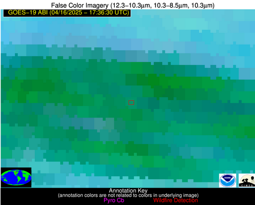
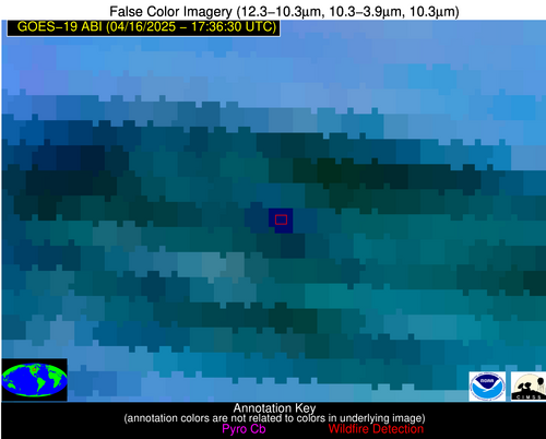
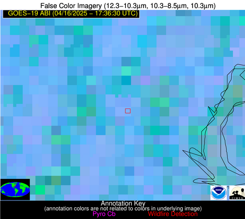
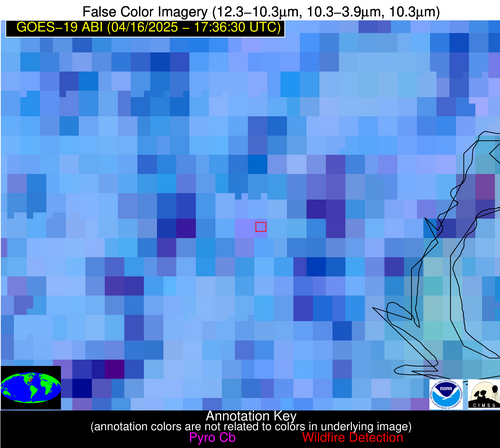
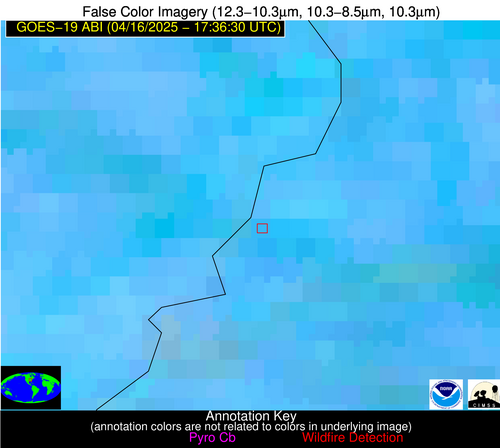
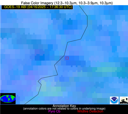
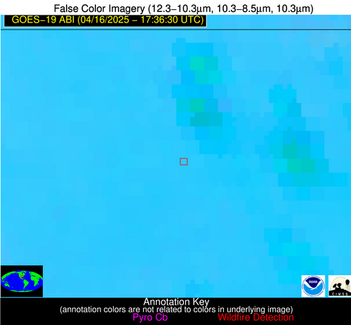
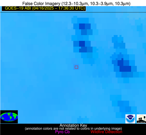
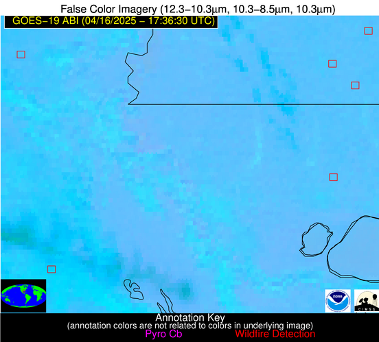
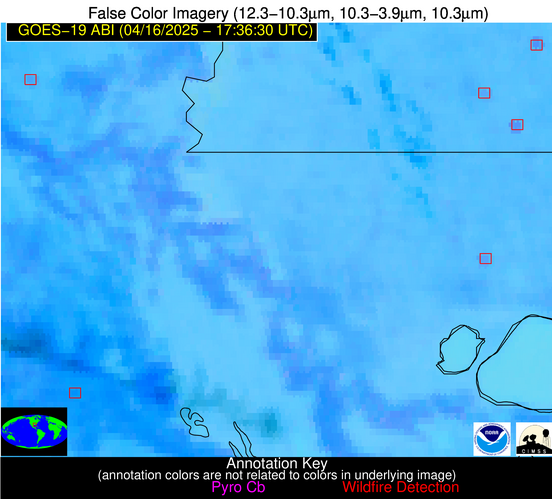
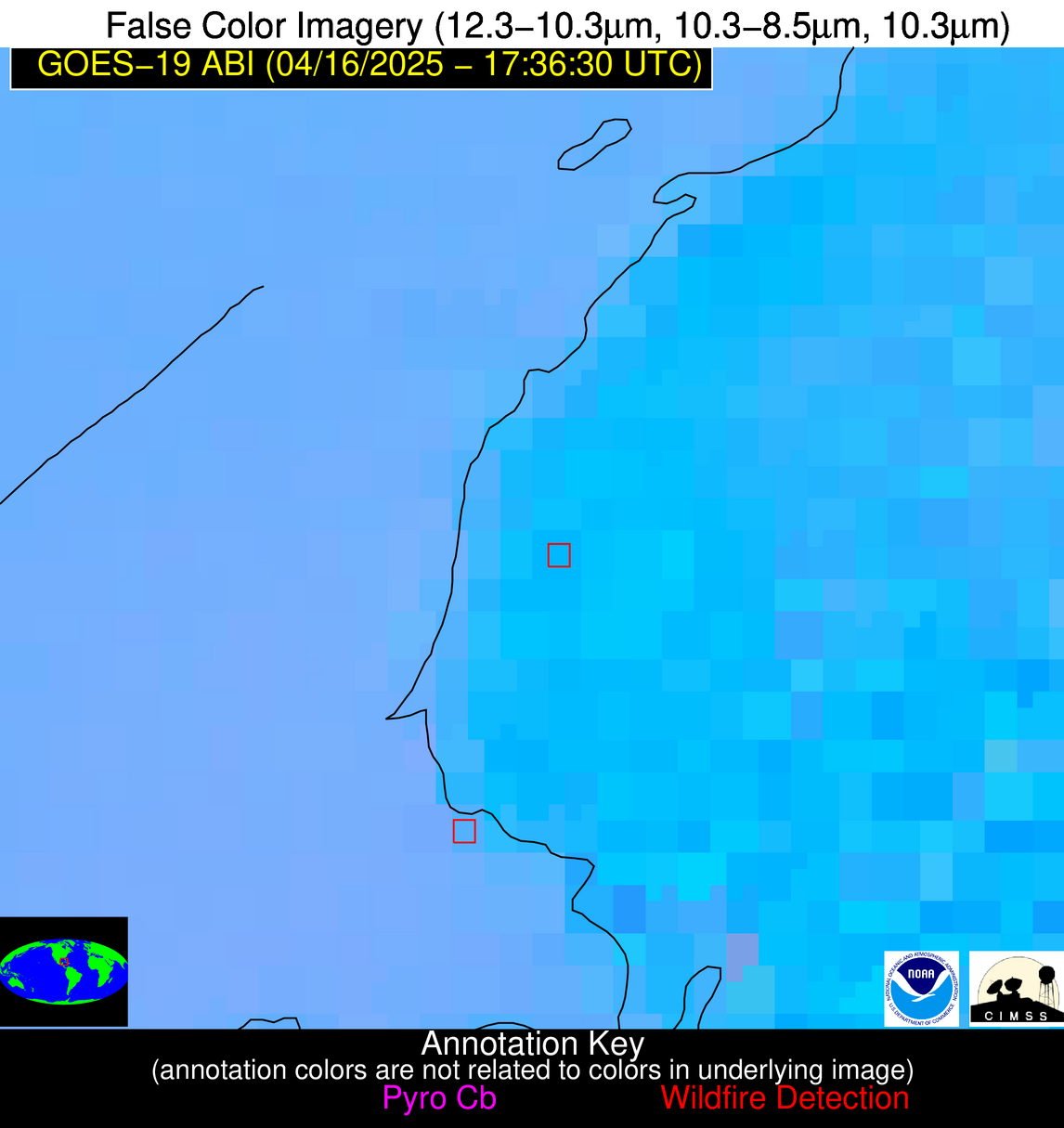
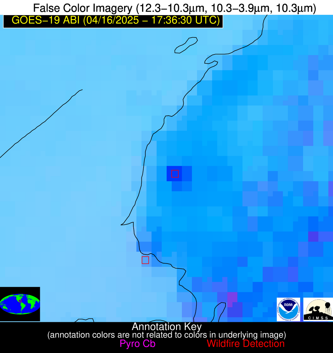
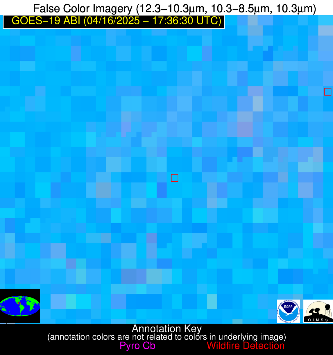
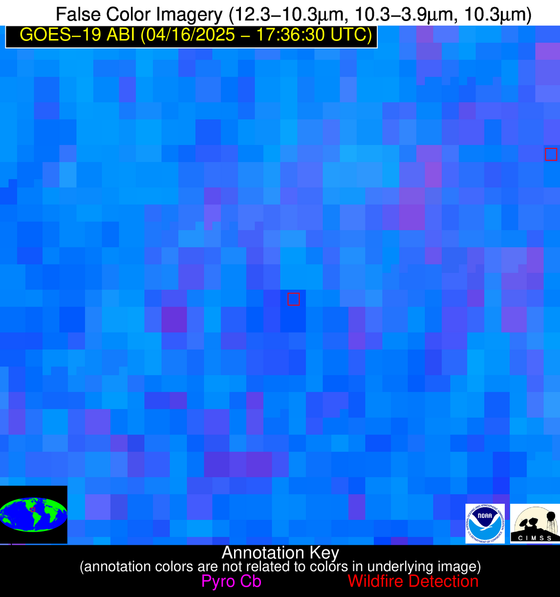
Possible Wildfire
| Basic Information | |
|---|---|
| State/Province(s) | MN |
| Country/Countries | United States |
| County/Locality(s) | Polk County, MN |
| NWS WFO | Grand Forks ND |
| Identification Method | Enhanced Contextual (Cloud) |
| Mean Object Date/Time | 2025-04-16 17:36:20UTC |
| Radiative Center (Lat, Lon): | 47.541389°, -96.169441° |
| Nearby Counties (meeting alert criteria): |
|
| Total Radiative Power Anomaly | n/a |
| Total Radiative Power | 56.05 MW |
| Map: | |
| Additional Information | |
| Alert Status | New Feature |
| Type of Event | Nominal Risk |
| Event Priority Ranking | 4 |
| Maximum Observed BT (3.9 um) | 292.39 K |
| Observed - Background BT (3.9 um) | 10.53 K |
| BT Anomaly (3.9 um) | 7.54 K |
| Maximum Observed - Clear RTM BT (3.9 um) | 8.89 K |
| Maximum Observed BTD (3.9-10/11/12 um) | 34.76 K |
| Observed - Background BTD (3.9-10/11/12 um) | 10.90 K |
| BTD Anomaly (3.9-10/11/12 um) | 7.23 K |
| Similar Pixel Count | 0 |
| BT Time Tendency (3.9 um) | 6.60 K |
| Image Interval | 5.00 minutes |
| Fraction of Surrounding LWIR Pixels that are Colder | 0.25 |
| Fraction of Surrounding Red Channel Pixels that are Brighter | 0.92 |
| Maximum Radiative Power | 56.05 MW |
| Maximum Radiative Power Uncertainty | 0.00 MW |
| Total Radiative Power Uncertainty | 0.00 MW |
| Mean Viewing Angle | 58.70° |
| Mean Solar Zenith Angle | 39.10° |
| Mean Glint Angle | 97.40° |
| Water Fraction | 0.00 |
| Total Pixel Area | 7.70 km2 |
| Latest Satellite Imagery: | |
| View all event imagery » | |
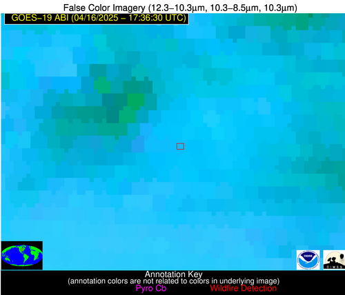
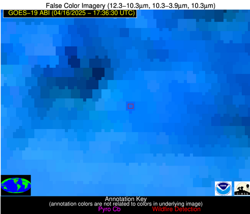
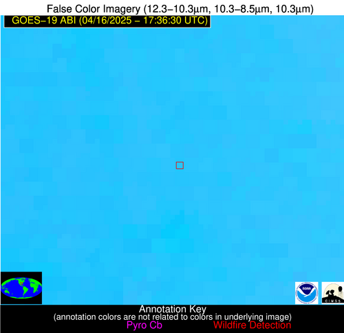
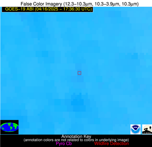
Possible Wildfire
| Basic Information | |
|---|---|
| State/Province(s) | IA |
| Country/Countries | United States |
| County/Locality(s) | Guthrie County, IA |
| NWS WFO | Des Moines IA |
| Identification Method | Enhanced Contextual (Clear) |
| Mean Object Date/Time | 2025-04-16 17:36:50UTC |
| Radiative Center (Lat, Lon): | 41.743889°, -94.320274° |
| Nearby Counties (meeting alert criteria): |
|
| Total Radiative Power Anomaly | n/a |
| Total Radiative Power | 20.01 MW |
| Map: | |
| Additional Information | |
| Alert Status | New Feature |
| Type of Event | Nominal Risk |
| Event Priority Ranking | 4 |
| Maximum Observed BT (3.9 um) | 310.08 K |
| Observed - Background BT (3.9 um) | 5.40 K |
| BT Anomaly (3.9 um) | 2.79 K |
| Maximum Observed - Clear RTM BT (3.9 um) | 20.03 K |
| Maximum Observed BTD (3.9-10/11/12 um) | 20.04 K |
| Observed - Background BTD (3.9-10/11/12 um) | 5.33 K |
| BTD Anomaly (3.9-10/11/12 um) | 2.44 K |
| Similar Pixel Count | 24 |
| BT Time Tendency (3.9 um) | 3.60 K |
| Image Interval | 5.00 minutes |
| Fraction of Surrounding LWIR Pixels that are Colder | 0.77 |
| Fraction of Surrounding Red Channel Pixels that are Brighter | 0.93 |
| Maximum Radiative Power | 20.01 MW |
| Maximum Radiative Power Uncertainty | 0.00 MW |
| Total Radiative Power Uncertainty | 0.00 MW |
| Mean Viewing Angle | 52.30° |
| Mean Solar Zenith Angle | 33.20° |
| Mean Glint Angle | 85.20° |
| Water Fraction | 0.00 |
| Total Pixel Area | 6.50 km2 |
| Latest Satellite Imagery: | |
| View all event imagery » | |
Possible Wildfire
| Basic Information | |
|---|---|
| State/Province(s) | VA |
| Country/Countries | United States |
| County/Locality(s) | Stafford County, VA |
| NWS WFO | Baltimore MD/Washington DC |
| Identification Method | Enhanced Contextual (Clear) |
| Mean Object Date/Time | 2025-04-16 17:36:52UTC |
| Radiative Center (Lat, Lon): | 38.537777°, -77.510002° |
| Nearby Counties (meeting alert criteria): |
|
| Total Radiative Power Anomaly | n/a |
| Total Radiative Power | 17.73 MW |
| Map: | |
| Additional Information | |
| Alert Status | New Feature |
| Type of Event | Nominal Risk |
| Event Priority Ranking | 4 |
| Maximum Observed BT (3.9 um) | 304.46 K |
| Observed - Background BT (3.9 um) | 6.11 K |
| BT Anomaly (3.9 um) | 4.76 K |
| Maximum Observed - Clear RTM BT (3.9 um) | 19.42 K |
| Maximum Observed BTD (3.9-10/11/12 um) | 13.26 K |
| Observed - Background BTD (3.9-10/11/12 um) | 5.16 K |
| BTD Anomaly (3.9-10/11/12 um) | 4.72 K |
| Similar Pixel Count | 19 |
| BT Time Tendency (3.9 um) | 1.10 K |
| Image Interval | 5.00 minutes |
| Fraction of Surrounding LWIR Pixels that are Colder | 0.96 |
| Fraction of Surrounding Red Channel Pixels that are Brighter | 1.00 |
| Maximum Radiative Power | 17.73 MW |
| Maximum Radiative Power Uncertainty | 0.00 MW |
| Total Radiative Power Uncertainty | 0.00 MW |
| Mean Viewing Angle | 44.90° |
| Mean Solar Zenith Angle | 29.40° |
| Mean Glint Angle | 73.30° |
| Water Fraction | 0.00 |
| Total Pixel Area | 5.60 km2 |
| Latest Satellite Imagery: | |
| View all event imagery » | |
Possible Wildfire
| Basic Information | |
|---|---|
| State/Province(s) | IN |
| Country/Countries | United States |
| County/Locality(s) | Knox County, IN |
| NWS WFO | Indianapolis IN |
| Identification Method | Enhanced Contextual (Clear) |
| Mean Object Date/Time | 2025-04-16 17:36:51UTC |
| Radiative Center (Lat, Lon): | 38.585835°, -87.602219° |
| Nearby Counties (meeting alert criteria): |
|
| Total Radiative Power Anomaly | n/a |
| Total Radiative Power | 18.95 MW |
| Map: | |
| Additional Information | |
| Alert Status | New Feature |
| Type of Event | Nominal Risk |
| Event Priority Ranking | 4 |
| Maximum Observed BT (3.9 um) | 305.67 K |
| Observed - Background BT (3.9 um) | 6.03 K |
| BT Anomaly (3.9 um) | 2.42 K |
| Maximum Observed - Clear RTM BT (3.9 um) | 17.07 K |
| Maximum Observed BTD (3.9-10/11/12 um) | 17.49 K |
| Observed - Background BTD (3.9-10/11/12 um) | 5.97 K |
| BTD Anomaly (3.9-10/11/12 um) | 2.89 K |
| Similar Pixel Count | 19 |
| BT Time Tendency (3.9 um) | 0.60 K |
| Image Interval | 5.00 minutes |
| Fraction of Surrounding LWIR Pixels that are Colder | 0.44 |
| Fraction of Surrounding Red Channel Pixels that are Brighter | 0.72 |
| Maximum Radiative Power | 18.95 MW |
| Maximum Radiative Power Uncertainty | 0.00 MW |
| Total Radiative Power Uncertainty | 0.00 MW |
| Mean Viewing Angle | 46.80° |
| Mean Solar Zenith Angle | 29.00° |
| Mean Glint Angle | 75.20° |
| Water Fraction | 0.00 |
| Total Pixel Area | 5.80 km2 |
| Latest Satellite Imagery: | |
| View all event imagery » | |
Possible Wildfire
| Basic Information | |
|---|---|
| State/Province(s) | AR |
| Country/Countries | United States |
| County/Locality(s) | Boone County, AR |
| NWS WFO | Little Rock AR |
| Identification Method | Enhanced Contextual (Clear) |
| Mean Object Date/Time | 2025-04-16 17:36:50UTC |
| Radiative Center (Lat, Lon): | 36.263054°, -93.233330° |
| Nearby Counties (meeting alert criteria): |
|
| Total Radiative Power Anomaly | n/a |
| Total Radiative Power | 9.95 MW |
| Map: | |
| Additional Information | |
| Alert Status | New Feature |
| Type of Event | Nominal Risk |
| Event Priority Ranking | 4 |
| Maximum Observed BT (3.9 um) | 303.57 K |
| Observed - Background BT (3.9 um) | 2.20 K |
| BT Anomaly (3.9 um) | 3.00 K |
| Maximum Observed - Clear RTM BT (3.9 um) | 13.72 K |
| Maximum Observed BTD (3.9-10/11/12 um) | 12.05 K |
| Observed - Background BTD (3.9-10/11/12 um) | 2.51 K |
| BTD Anomaly (3.9-10/11/12 um) | 3.87 K |
| Similar Pixel Count | 25 |
| BT Time Tendency (3.9 um) | 0.30 K |
| Image Interval | 5.00 minutes |
| Fraction of Surrounding LWIR Pixels that are Colder | 0.37 |
| Fraction of Surrounding Red Channel Pixels that are Brighter | 1.00 |
| Maximum Radiative Power | 9.95 MW |
| Maximum Radiative Power Uncertainty | 0.00 MW |
| Total Radiative Power Uncertainty | 0.00 MW |
| Mean Viewing Angle | 46.40° |
| Mean Solar Zenith Angle | 27.70° |
| Mean Glint Angle | 73.90° |
| Water Fraction | 0.00 |
| Total Pixel Area | 5.80 km2 |
| Latest Satellite Imagery: | |
| View all event imagery » | |
Possible Wildfire
| Basic Information | |
|---|---|
| State/Province(s) | LA |
| Country/Countries | United States |
| County/Locality(s) | Webster Parish, LA |
| NWS WFO | Shreveport LA |
| Identification Method | Enhanced Contextual (Clear) |
| Mean Object Date/Time | 2025-04-16 17:37:20UTC |
| Radiative Center (Lat, Lon): | 32.735001°, -93.278336° |
| Nearby Counties (meeting alert criteria): |
|
| Total Radiative Power Anomaly | n/a |
| Total Radiative Power | 7.74 MW |
| Map: | |
| Additional Information | |
| Alert Status | New Feature |
| Type of Event | Nominal Risk, Known Incident: RX CAN C-29 (HIGH, tdiff=0.16625 days, Point) |
| Event Priority Ranking | 4 |
| Maximum Observed BT (3.9 um) | 301.97 K |
| Observed - Background BT (3.9 um) | 2.85 K |
| BT Anomaly (3.9 um) | 2.59 K |
| Maximum Observed - Clear RTM BT (3.9 um) | 8.28 K |
| Maximum Observed BTD (3.9-10/11/12 um) | 10.87 K |
| Observed - Background BTD (3.9-10/11/12 um) | 2.66 K |
| BTD Anomaly (3.9-10/11/12 um) | 4.18 K |
| Similar Pixel Count | 25 |
| BT Time Tendency (3.9 um) | 1.40 K |
| Image Interval | 5.00 minutes |
| Fraction of Surrounding LWIR Pixels that are Colder | 0.58 |
| Fraction of Surrounding Red Channel Pixels that are Brighter | 1.00 |
| Maximum Radiative Power | 7.74 MW |
| Maximum Radiative Power Uncertainty | 0.00 MW |
| Total Radiative Power Uncertainty | 0.00 MW |
| Mean Viewing Angle | 43.00° |
| Mean Solar Zenith Angle | 24.40° |
| Mean Glint Angle | 67.20° |
| Water Fraction | 0.00 |
| Total Pixel Area | 5.50 km2 |
| Latest Satellite Imagery: | |
| View all event imagery » | |
Possible Wildfire
| Basic Information | |
|---|---|
| State/Province(s) | MS |
| Country/Countries | United States |
| County/Locality(s) | Pike County, MS |
| NWS WFO | New Orleans LA |
| Identification Method | Enhanced Contextual (Clear) |
| Mean Object Date/Time | 2025-04-16 17:37:21UTC |
| Radiative Center (Lat, Lon): | 31.222500°, -90.401108° |
| Nearby Counties (meeting alert criteria): |
|
| Total Radiative Power Anomaly | n/a |
| Total Radiative Power | 9.02 MW |
| Map: | |
| Additional Information | |
| Alert Status | New Feature |
| Type of Event | Nominal Risk |
| Event Priority Ranking | 4 |
| Maximum Observed BT (3.9 um) | 303.46 K |
| Observed - Background BT (3.9 um) | 3.49 K |
| BT Anomaly (3.9 um) | 2.76 K |
| Maximum Observed - Clear RTM BT (3.9 um) | 10.84 K |
| Maximum Observed BTD (3.9-10/11/12 um) | 9.60 K |
| Observed - Background BTD (3.9-10/11/12 um) | 3.12 K |
| BTD Anomaly (3.9-10/11/12 um) | 3.72 K |
| Similar Pixel Count | 19 |
| BT Time Tendency (3.9 um) | 0.90 K |
| Image Interval | 5.00 minutes |
| Fraction of Surrounding LWIR Pixels that are Colder | 0.74 |
| Fraction of Surrounding Red Channel Pixels that are Brighter | 1.00 |
| Maximum Radiative Power | 9.02 MW |
| Maximum Radiative Power Uncertainty | 0.00 MW |
| Total Radiative Power Uncertainty | 0.00 MW |
| Mean Viewing Angle | 40.20° |
| Mean Solar Zenith Angle | 22.20° |
| Mean Glint Angle | 62.10° |
| Water Fraction | 0.00 |
| Total Pixel Area | 5.20 km2 |
| Latest Satellite Imagery: | |
| View all event imagery » | |
Possible Wildfire
| Basic Information | |
|---|---|
| State/Province(s) | LA |
| Country/Countries | United States |
| County/Locality(s) | Vermilion Parish, LA |
| NWS WFO | Lake Charles LA |
| Identification Method | Enhanced Contextual (Clear) |
| Mean Object Date/Time | 2025-04-16 17:37:50UTC |
| Radiative Center (Lat, Lon): | 30.095556°, -92.093330° |
| Nearby Counties (meeting alert criteria): |
|
| Total Radiative Power Anomaly | n/a |
| Total Radiative Power | 3.70 MW |
| Map: | |
| Additional Information | |
| Alert Status | New Feature |
| Type of Event | Likely a Solar Farm |
| Event Priority Ranking | 4 |
| Maximum Observed BT (3.9 um) | 311.82 K |
| Observed - Background BT (3.9 um) | 2.38 K |
| BT Anomaly (3.9 um) | 1.25 K |
| Maximum Observed - Clear RTM BT (3.9 um) | 13.45 K |
| Maximum Observed BTD (3.9-10/11/12 um) | 14.83 K |
| Observed - Background BTD (3.9-10/11/12 um) | 1.73 K |
| BTD Anomaly (3.9-10/11/12 um) | 1.43 K |
| Similar Pixel Count | 25 |
| BT Time Tendency (3.9 um) | 0.60 K |
| Image Interval | 5.00 minutes |
| Fraction of Surrounding LWIR Pixels that are Colder | 0.55 |
| Fraction of Surrounding Red Channel Pixels that are Brighter | 0.83 |
| Maximum Radiative Power | 3.70 MW |
| Maximum Radiative Power Uncertainty | 0.00 MW |
| Total Radiative Power Uncertainty | 0.00 MW |
| Mean Viewing Angle | 39.90° |
| Mean Solar Zenith Angle | 21.60° |
| Mean Glint Angle | 61.30° |
| Water Fraction | 0.00 |
| Total Pixel Area | 5.20 km2 |
| Latest Satellite Imagery: | |
| View all event imagery » | |
Possible Wildfire
| Basic Information | |
|---|---|
| State/Province(s) | Unknown |
| Country/Countries | Cuba |
| County/Locality(s) | Unknown, Unknown |
| NWS WFO | N/A |
| Identification Method | Enhanced Contextual (Cloud) |
| Mean Object Date/Time | 2025-04-16 17:38:21UTC |
| Radiative Center (Lat, Lon): | 22.285555°, -84.354721° |
| Nearby Counties (meeting alert criteria): |
|
| Total Radiative Power Anomaly | n/a |
| Total Radiative Power | 72.47 MW |
| Map: | |
| Additional Information | |
| Alert Status | New Feature |
| Type of Event | Nominal Risk |
| Event Priority Ranking | 4 |
| Maximum Observed BT (3.9 um) | 331.64 K |
| Observed - Background BT (3.9 um) | 16.01 K |
| BT Anomaly (3.9 um) | 7.46 K |
| Maximum Observed - Clear RTM BT (3.9 um) | 31.04 K |
| Maximum Observed BTD (3.9-10/11/12 um) | 27.44 K |
| Observed - Background BTD (3.9-10/11/12 um) | 14.54 K |
| BTD Anomaly (3.9-10/11/12 um) | 9.68 K |
| Similar Pixel Count | 0 |
| BT Time Tendency (3.9 um) | 11.20 K |
| Image Interval | 5.00 minutes |
| Fraction of Surrounding LWIR Pixels that are Colder | 1.00 |
| Fraction of Surrounding Red Channel Pixels that are Brighter | 0.60 |
| Maximum Radiative Power | 72.47 MW |
| Maximum Radiative Power Uncertainty | 0.00 MW |
| Total Radiative Power Uncertainty | 0.00 MW |
| Mean Viewing Angle | 28.20° |
| Mean Solar Zenith Angle | 12.50° |
| Mean Glint Angle | 40.00° |
| Water Fraction | 0.00 |
| Total Pixel Area | 4.50 km2 |
| Latest Satellite Imagery: | |
| View all event imagery » | |
Possible Wildfire
| Basic Information | |
|---|---|
| State/Province(s) | Unknown |
| Country/Countries | Cuba |
| County/Locality(s) | Unknown, Unknown |
| NWS WFO | N/A |
| Identification Method | Enhanced Contextual (Cloud) |
| Mean Object Date/Time | 2025-04-16 17:38:22UTC |
| Radiative Center (Lat, Lon): | 21.689167°, -78.313614° |
| Nearby Counties (meeting alert criteria): |
|
| Total Radiative Power Anomaly | n/a |
| Total Radiative Power | 41.16 MW |
| Map: | |
| Additional Information | |
| Alert Status | New Feature |
| Type of Event | Nominal Risk |
| Event Priority Ranking | 4 |
| Maximum Observed BT (3.9 um) | 323.96 K |
| Observed - Background BT (3.9 um) | 10.28 K |
| BT Anomaly (3.9 um) | 7.34 K |
| Maximum Observed - Clear RTM BT (3.9 um) | 15.65 K |
| Maximum Observed BTD (3.9-10/11/12 um) | 24.82 K |
| Observed - Background BTD (3.9-10/11/12 um) | 8.85 K |
| BTD Anomaly (3.9-10/11/12 um) | 7.44 K |
| Similar Pixel Count | 0 |
| BT Time Tendency (3.9 um) | 8.90 K |
| Image Interval | 5.00 minutes |
| Fraction of Surrounding LWIR Pixels that are Colder | 0.99 |
| Fraction of Surrounding Red Channel Pixels that are Brighter | 0.78 |
| Maximum Radiative Power | 41.16 MW |
| Maximum Radiative Power Uncertainty | 0.00 MW |
| Total Radiative Power Uncertainty | 0.00 MW |
| Mean Viewing Angle | 25.80° |
| Mean Solar Zenith Angle | 13.20° |
| Mean Glint Angle | 37.30° |
| Water Fraction | 0.00 |
| Total Pixel Area | 4.40 km2 |
| Latest Satellite Imagery: | |
| View all event imagery » | |
