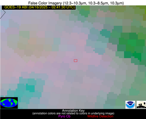
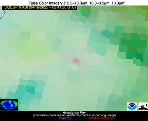
Wildfire Alert Report
| Date: | 2025-04-16 |
|---|---|
| Time: | 02:41:17 |
| Production Date and Time: | 2025-04-16 02:46:18 UTC |
| Primary Instrument: | GOES-19 ABI |
| Wmo Spacecraft Id: | 666 |
| Location/orbit: | GEO |
| L1 File: | OR_ABI-L1b-RadC-M6C14_G19_s20251060241171_e20251060243544_c20251060244038.nc |
| L1 File(s) - Temporal | OR_ABI-L1b-RadC-M6C14_G19_s20251060236171_e20251060238544_c20251060239032.nc |
| Number Of Thermal Anomaly Alerts: | 2 |
Possible Wildfire
| Basic Information | |
|---|---|
| State/Province(s) | ID |
| Country/Countries | United States |
| County/Locality(s) | Adams County, ID |
| NWS WFO | Boise ID |
| Identification Method | Enhanced Contextual (Clear) |
| Mean Object Date/Time | 2025-04-16 02:41:19UTC |
| Radiative Center (Lat, Lon): | 44.696110°, -116.493332° |
| Nearby Counties (meeting alert criteria): |
|
| Total Radiative Power Anomaly | n/a |
| Total Radiative Power | 14.39 MW |
| Map: | |
| Additional Information | |
| Alert Status | New Feature |
| Type of Event | Nominal Risk |
| Event Priority Ranking | 4 |
| Maximum Observed BT (3.9 um) | 284.51 K |
| Observed - Background BT (3.9 um) | 4.63 K |
| BT Anomaly (3.9 um) | 3.67 K |
| Maximum Observed - Clear RTM BT (3.9 um) | 2.55 K |
| Maximum Observed BTD (3.9-10/11/12 um) | 5.47 K |
| Observed - Background BTD (3.9-10/11/12 um) | 4.13 K |
| BTD Anomaly (3.9-10/11/12 um) | 7.96 K |
| Similar Pixel Count | 1 |
| BT Time Tendency (3.9 um) | 2.20 K |
| Image Interval | 5.00 minutes |
| Fraction of Surrounding LWIR Pixels that are Colder | 0.86 |
| Fraction of Surrounding Red Channel Pixels that are Brighter | 1.00 |
| Maximum Radiative Power | 14.39 MW |
| Maximum Radiative Power Uncertainty | 0.00 MW |
| Total Radiative Power Uncertainty | 0.00 MW |
| Mean Viewing Angle | 66.10° |
| Mean Solar Zenith Angle | 92.80° |
| Mean Glint Angle | 34.20° |
| Water Fraction | 0.00 |
| Total Pixel Area | 9.90 km2 |
| Latest Satellite Imagery: | |
| View all event imagery » | |
Possible Wildfire
| Basic Information | |
|---|---|
| State/Province(s) | Tamaulipas |
| Country/Countries | Mexico |
| County/Locality(s) | Ocampo, Tamaulipas |
| NWS WFO | N/A |
| Identification Method | Enhanced Contextual (Clear) |
| Mean Object Date/Time | 2025-04-16 02:43:19UTC |
| Radiative Center (Lat, Lon): | 22.830278°, -99.377777° |
| Nearby Counties (meeting alert criteria): |
|
| Total Radiative Power Anomaly | n/a |
| Total Radiative Power | 9.02 MW |
| Map: | |
| Additional Information | |
| Alert Status | New Feature |
| Type of Event | Nominal Risk |
| Event Priority Ranking | 4 |
| Maximum Observed BT (3.9 um) | 298.00 K |
| Observed - Background BT (3.9 um) | 3.95 K |
| BT Anomaly (3.9 um) | 2.84 K |
| Maximum Observed - Clear RTM BT (3.9 um) | 4.37 K |
| Maximum Observed BTD (3.9-10/11/12 um) | 6.32 K |
| Observed - Background BTD (3.9-10/11/12 um) | 3.41 K |
| BTD Anomaly (3.9-10/11/12 um) | 2.64 K |
| Similar Pixel Count | 3 |
| BT Time Tendency (3.9 um) | 3.60 K |
| Image Interval | 5.00 minutes |
| Fraction of Surrounding LWIR Pixels that are Colder | 0.84 |
| Fraction of Surrounding Red Channel Pixels that are Brighter | 1.00 |
| Maximum Radiative Power | 9.02 MW |
| Maximum Radiative Power Uncertainty | 0.00 MW |
| Total Radiative Power Uncertainty | 0.00 MW |
| Mean Viewing Angle | 38.30° |
| Mean Solar Zenith Angle | 113.70° |
| Mean Glint Angle | 77.00° |
| Water Fraction | 0.00 |
| Total Pixel Area | 5.10 km2 |
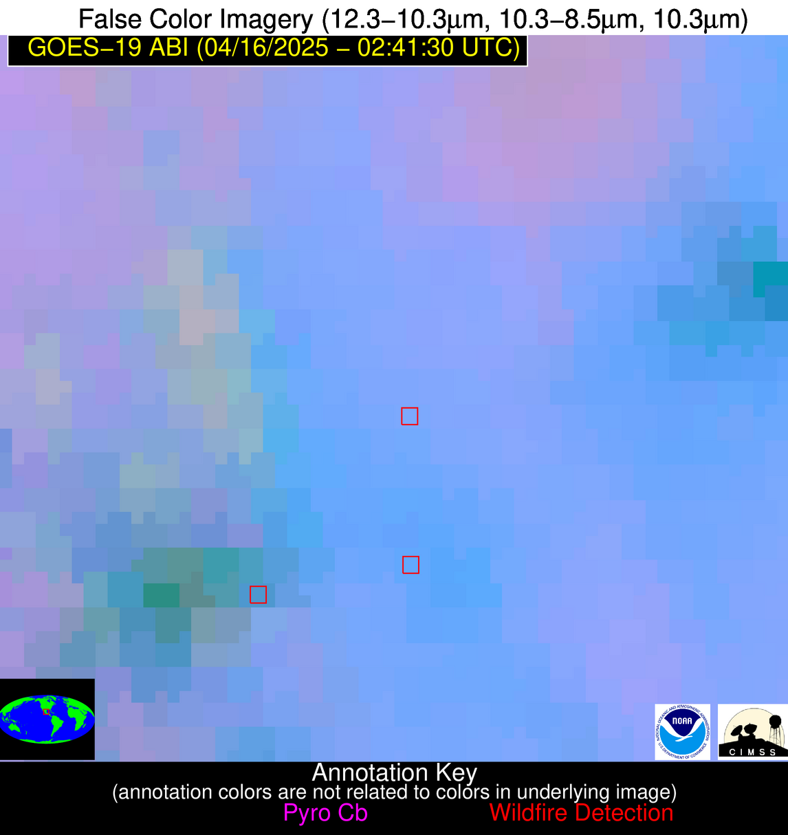
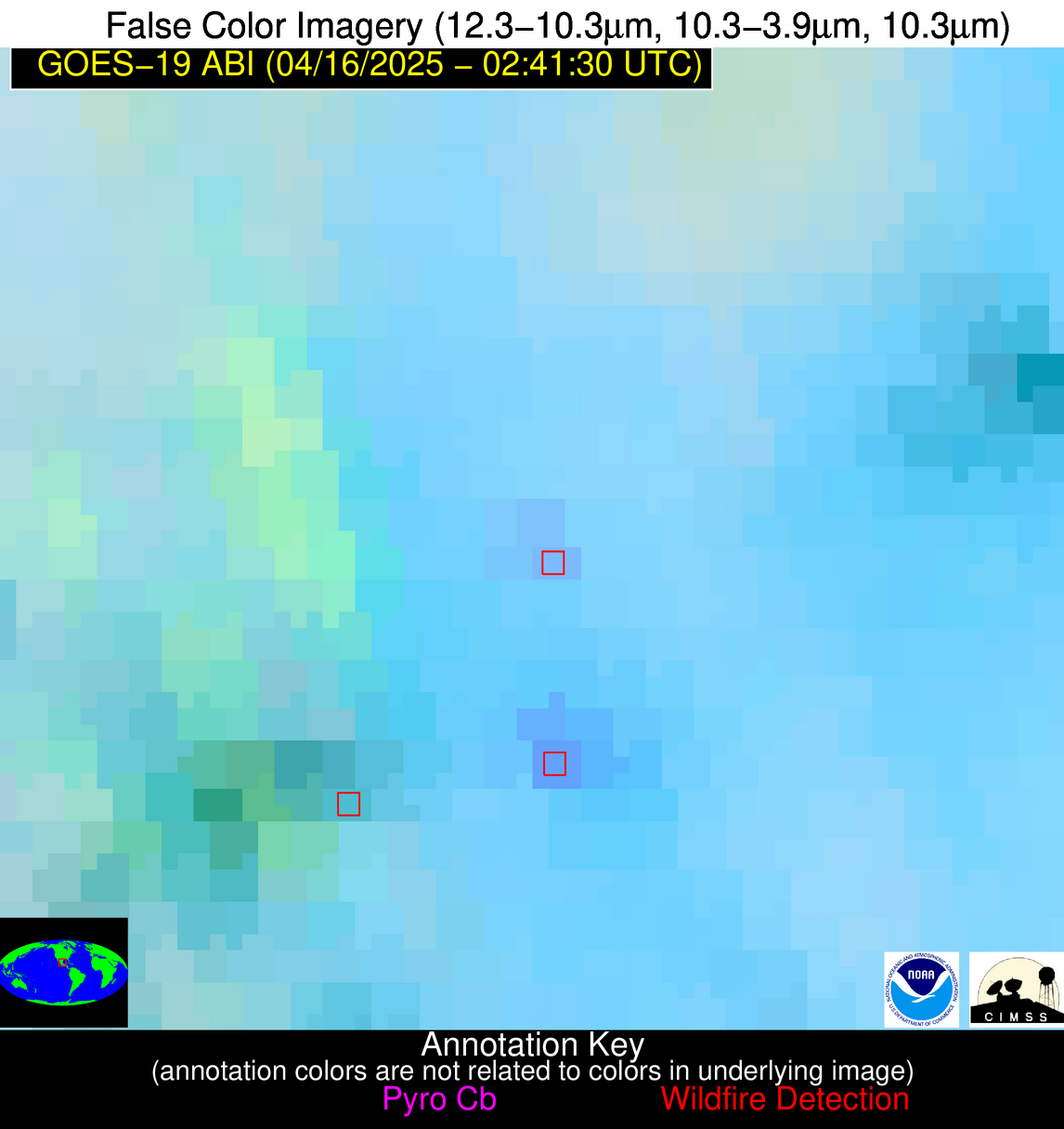
| Latest Satellite Imagery: | |
| View all event imagery » | |


