Wildfire Alert Report
| Date: | 2025-04-15 |
|---|---|
| Time: | 11:21:17 |
| Production Date and Time: | 2025-04-15 11:26:03 UTC |
| Primary Instrument: | GOES-19 ABI |
| Wmo Spacecraft Id: | 666 |
| Location/orbit: | GEO |
| L1 File: | OR_ABI-L1b-RadC-M6C14_G19_s20251051121170_e20251051123543_c20251051124032.nc |
| L1 File(s) - Temporal | OR_ABI-L1b-RadC-M6C14_G19_s20251051116170_e20251051118543_c20251051119036.nc |
| Number Of Thermal Anomaly Alerts: | 2 |
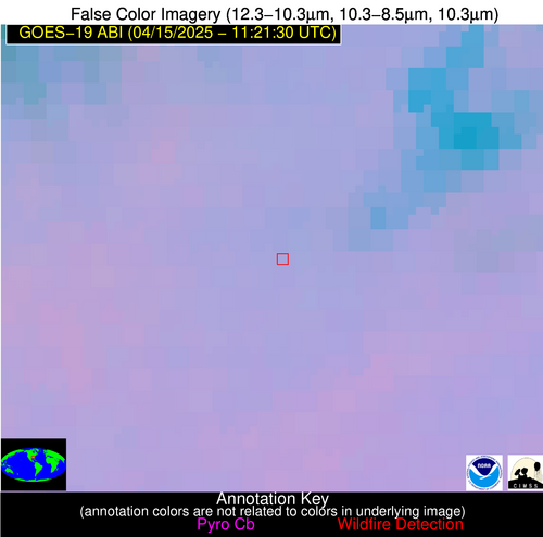
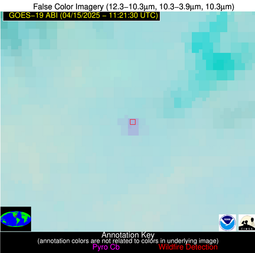
Possible Wildfire
| Basic Information | |
|---|---|
| State/Province(s) | AL |
| Country/Countries | United States |
| County/Locality(s) | Conecuh County, AL |
| NWS WFO | Mobile AL |
| Identification Method | Enhanced Contextual (Clear) |
| Mean Object Date/Time | 2025-04-15 11:22:21UTC |
| Radiative Center (Lat, Lon): | 31.329445°, -86.868889° |
| Nearby Counties (meeting alert criteria): |
|
| Total Radiative Power Anomaly | n/a |
| Total Radiative Power | 20.02 MW |
| Map: | |
| Additional Information | |
| Alert Status | New Feature |
| Type of Event | Nominal Risk, Known Incident: Oil Well Rd Fire (HIGH, tdiff=6.55378 days, Point) |
| Event Priority Ranking | 4 |
| Maximum Observed BT (3.9 um) | 291.75 K |
| Observed - Background BT (3.9 um) | 5.88 K |
| BT Anomaly (3.9 um) | 13.43 K |
| Maximum Observed - Clear RTM BT (3.9 um) | 5.77 K |
| Maximum Observed BTD (3.9-10/11/12 um) | 6.31 K |
| Observed - Background BTD (3.9-10/11/12 um) | 5.74 K |
| BTD Anomaly (3.9-10/11/12 um) | 12.12 K |
| Similar Pixel Count | 2 |
| BT Time Tendency (3.9 um) | 1.30 K |
| Image Interval | 5.00 minutes |
| Fraction of Surrounding LWIR Pixels that are Colder | 0.54 |
| Fraction of Surrounding Red Channel Pixels that are Brighter | 1.00 |
| Maximum Radiative Power | 11.10 MW |
| Maximum Radiative Power Uncertainty | 0.00 MW |
| Total Radiative Power Uncertainty | 0.00 MW |
| Mean Viewing Angle | 38.80° |
| Mean Solar Zenith Angle | 90.60° |
| Mean Glint Angle | 96.90° |
| Water Fraction | 0.00 |
| Total Pixel Area | 10.30 km2 |
| Latest Satellite Imagery: | |
| View all event imagery » | |
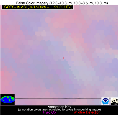
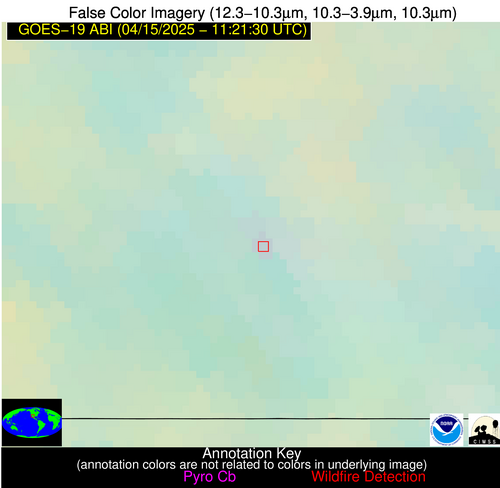
Possible Wildfire
| Basic Information | |
|---|---|
| State/Province(s) | AZ |
| Country/Countries | United States |
| County/Locality(s) | Cochise County, AZ |
| NWS WFO | Tucson AZ |
| Identification Method | Enhanced Contextual (Clear) |
| Mean Object Date/Time | 2025-04-15 11:22:18UTC |
| Radiative Center (Lat, Lon): | 31.538610°, -110.297775° |
| Nearby Counties (meeting alert criteria): |
|
| Total Radiative Power Anomaly | n/a |
| Total Radiative Power | 4.89 MW |
| Map: | |
| Additional Information | |
| Alert Status | New Feature |
| Type of Event | Nominal Risk |
| Event Priority Ranking | 4 |
| Maximum Observed BT (3.9 um) | 285.90 K |
| Observed - Background BT (3.9 um) | 3.41 K |
| BT Anomaly (3.9 um) | 3.50 K |
| Maximum Observed - Clear RTM BT (3.9 um) | 5.26 K |
| Maximum Observed BTD (3.9-10/11/12 um) | 2.02 K |
| Observed - Background BTD (3.9-10/11/12 um) | 2.43 K |
| BTD Anomaly (3.9-10/11/12 um) | 5.17 K |
| Similar Pixel Count | 1 |
| BT Time Tendency (3.9 um) | 1.10 K |
| Image Interval | 5.00 minutes |
| Fraction of Surrounding LWIR Pixels that are Colder | 0.90 |
| Fraction of Surrounding Red Channel Pixels that are Brighter | 1.00 |
| Maximum Radiative Power | 4.89 MW |
| Maximum Radiative Power Uncertainty | 0.00 MW |
| Total Radiative Power Uncertainty | 0.00 MW |
| Mean Viewing Angle | 53.00° |
| Mean Solar Zenith Angle | 109.50° |
| Mean Glint Angle | 124.00° |
| Water Fraction | 0.00 |
| Total Pixel Area | 6.60 km2 |
| Latest Satellite Imagery: | |
| View all event imagery » | |


