Wildfire Alert Report
| Date: | 2025-04-14 |
|---|---|
| Time: | 15:14:55 |
| Production Date and Time: | 2025-04-14 15:15:37 UTC |
| Primary Instrument: | GOES-19 ABI |
| Wmo Spacecraft Id: | 666 |
| Location/orbit: | GEO |
| L1 File: | OR_ABI-L1b-RadM2-M6C14_G19_s20251041514559_e20251041515016_c20251041515075.nc |
| L1 File(s) - Temporal | OR_ABI-L1b-RadM2-M6C14_G19_s20251041513559_e20251041514016_c20251041514072.nc |
| Number Of Thermal Anomaly Alerts: | 1 |
Possible Wildfire
| Basic Information | |
|---|---|
| State/Province(s) | OK |
| Country/Countries | United States |
| County/Locality(s) | Craig County, OK |
| NWS WFO | Tulsa OK |
| Identification Method | Enhanced Contextual (Clear) |
| Mean Object Date/Time | 2025-04-14 15:15:00UTC |
| Radiative Center (Lat, Lon): | 36.826668°, -95.378052° |
| Nearby Counties (meeting alert criteria): |
|
| Total Radiative Power Anomaly | n/a |
| Total Radiative Power | 15.91 MW |
| Map: | |
| Additional Information | |
| Alert Status | New Feature |
| Type of Event | Nominal Risk |
| Event Priority Ranking | 4 |
| Maximum Observed BT (3.9 um) | 299.07 K |
| Observed - Background BT (3.9 um) | 3.10 K |
| BT Anomaly (3.9 um) | 2.06 K |
| Maximum Observed - Clear RTM BT (3.9 um) | 13.41 K |
| Maximum Observed BTD (3.9-10/11/12 um) | 10.47 K |
| Observed - Background BTD (3.9-10/11/12 um) | 2.82 K |
| BTD Anomaly (3.9-10/11/12 um) | 2.12 K |
| Similar Pixel Count | 25 |
| BT Time Tendency (3.9 um) | 1.20 K |
| Image Interval | 1.00 minutes |
| Fraction of Surrounding LWIR Pixels that are Colder | 0.73 |
| Fraction of Surrounding Red Channel Pixels that are Brighter | 1.00 |
| Maximum Radiative Power | 8.17 MW |
| Maximum Radiative Power Uncertainty | 0.00 MW |
| Total Radiative Power Uncertainty | 0.00 MW |
| Mean Viewing Angle | 47.90° |
| Mean Solar Zenith Angle | 50.50° |
| Mean Glint Angle | 91.70° |
| Water Fraction | 0.00 |
| Total Pixel Area | 11.90 km2 |
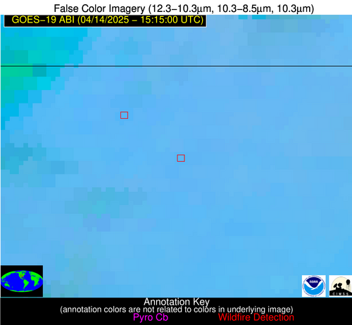
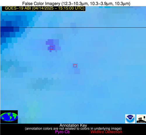
| Latest Satellite Imagery: | |
| View all event imagery » | |


